
Photo Credits (5)
Difficulty
Moderate
Trail Length
3.0 miles
Trail Type
Out And Back
Elevation Gain
400 ft
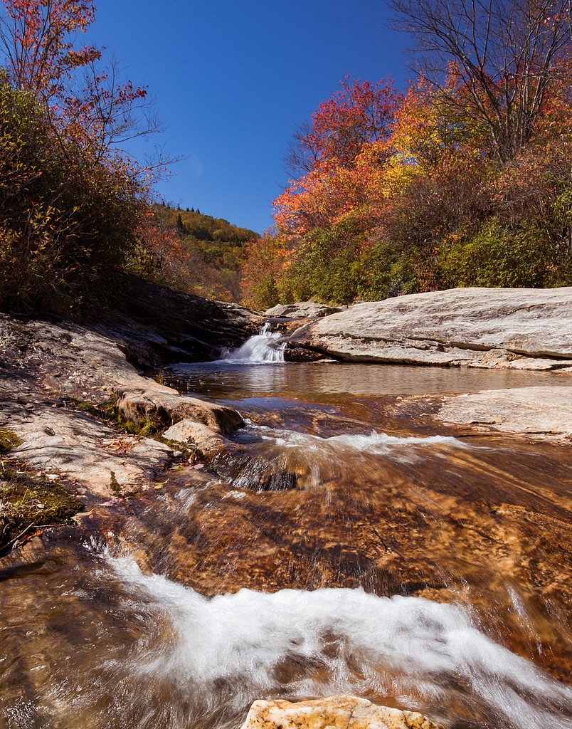
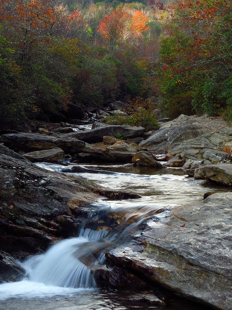
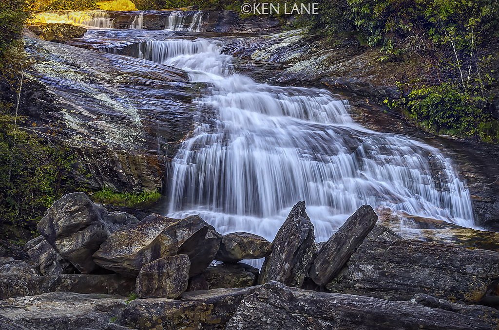
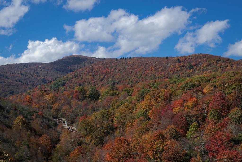
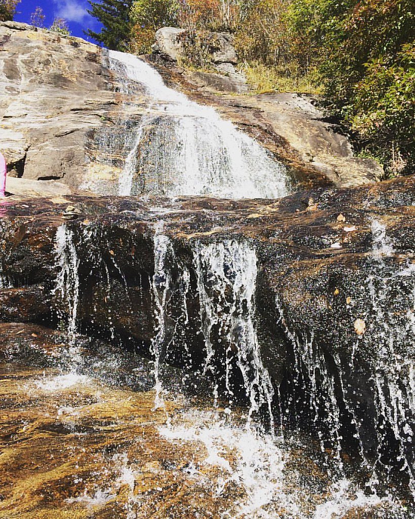
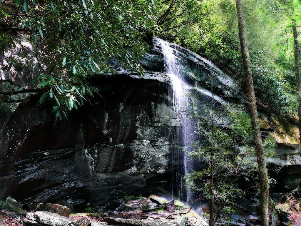
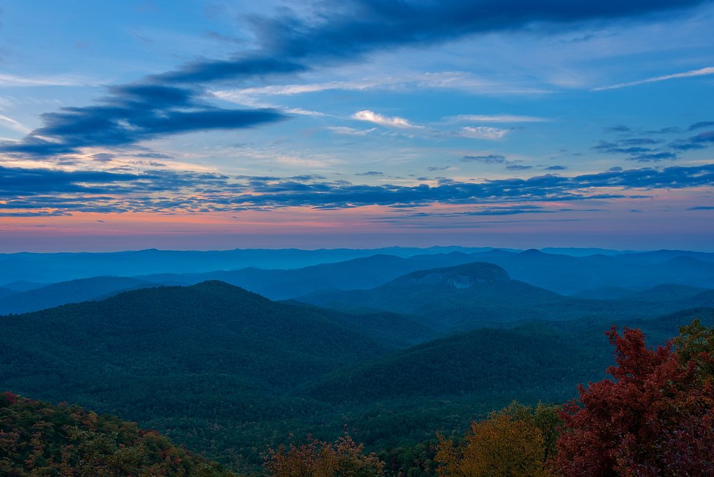
About Yellowstone Falls
Yellowstone Falls in North Carolina is a picturesque waterfall located in the Pisgah National Forest. It is known for its scenic beauty and cascading waters, making it a popular destination for hikers and nature enthusiasts. The falls are surrounded by lush forest and are part of a serene and relatively remote area.
The Setting
Yellowstone Falls sits at 4,790 feet within Pisgah National Forest, in the mountains of North Carolina.
Nearby Falls Worth Visiting
Looking Glass Falls (60 ft) lies 4.5 miles to the east. Also nearby: Second Falls (50 ft, 0.3 mi) and Courthouse Falls (45 ft, 4.7 mi).
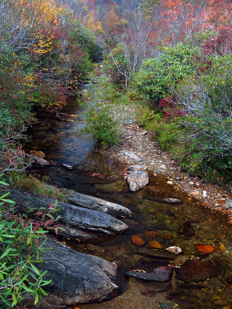
Trail & Hike Details
The Approach
The moderate hike follows Bridges Camp Gap (#TR607), a 3.0-mile out-and-back trail over natural surface. Expect 400 feet of elevation gain. The trail is moderately developed (Class 2).
USFS Trail
BRIDGES CAMP GAP #TR607
Trail Class
Moderately Developed
Surface
Trail Description
The trail to Yellowstone Falls is a moderately challenging hike through the Pisgah National Forest. It features a mix of forested paths, rocky sections, and some steep inclines. The trail is well-marked but may be muddy or slippery after rain. Hikers will be rewarded with views of the cascading waterfall and the surrounding natural beauty.
What to Expect
Dogs are welcome.
Accessibility
The trail is not wheelchair accessible. Uneven terrain and elevation changes require steady footing.
Frequently Asked Questions
🐶 Are Dogs Allowed at Yellowstone Falls?
✅ Dogs are allowed
Are There Any Fees or Permits Required?
🆖 No fees required
🏊 Is There Swimming at Yellowstone Falls?
❌ Swimming is not allowed
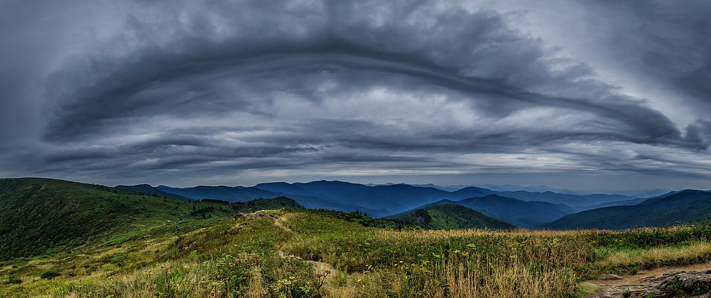
When to Visit
Spring and early summer are ideal for visiting Yellowstone Falls, as the water flow is typically strongest during these seasons. Fall offers beautiful foliage, while winter may bring icy conditions that require extra caution.
Seasonal Access
The best time to visit is Spring, Summer, and Fall. Winter access may be limited. Check with Pisgah National Forest for seasonal road closures.
Safety Information
The trail can be slippery after rain, and there are steep sections near the falls. Exercise caution and stay on marked trails. Watch for wildlife and carry a first aid kit.
Current Water Conditions
43 ft³/s
Current discharge — how much water is flowing
About average for this time of year
Based on 72 years of record
1.07 ft
Water depth at gauge
66°F
CoolRefreshing for swimming
7-Day Discharge Trend
What does this mean for your visit?
Flow is about average for this time of year. Water temperature is a refreshing 66 degrees F, good for a quick swim.
About This Gauge
This gauge is on a nearby waterway and may not reflect exact conditions at the falls.
7-Day Flow Outlook
Based on the USGS gauge W F PIGEON R ABOVE LAKE LOGAN NR HAZELWOOD, NC (12 km away).
Today
Roaring
51 cfs
6/10Tomorrow
Roaring
58 cfs
6/10Wed
Roaring
55 cfs
6/10Thu
Roaring
52 cfs
6/10Fri
Roaring
57 cfs
6/10Sat
Roaring
52 cfs
6/10Sun
Roaring
52 cfs
6/10Best window: Today — roaring flow, chance showers and thunderstorms (trip score 6/10).
Best time of year: this gauge typically runs highest from mid February to late April, peaking in March.
How we calculate this
This is a transparent outlook, not a precise forecast. We take the waterfall's current flow strength (how it ranks against its historical normal for today, from the nearest USGS stream gauge), carry that ranking forward along the gauge's seasonal curve, and nudge it for forecast rain. Confidence is highest for the next day or two and falls further out. Always check official conditions and your own judgment before visiting — high flows can be dangerous.
Know when to go.
Get a free email alert when waterfalls near Brevard hit peak flow. We only send when conditions are worth the trip — no weekly newsletters, no spam.
Weather Forecast
Location & Access
Getting There
Yellowstone Falls is located in the Pisgah National Forest, near the Wilson Creek area. Access typically involves driving on gravel forest service roads. Visitors should use a reliable map or GPS as cell service may be limited in the area.
Get Directions on Google MapsParking
Parking is available at a small trailhead near the falls. Space may be limited, especially during peak seasons.
Elevation
4,790 feet above sea level
Coordinates
35.323719° N, -82.840963° W
Land Management
Managed by USFS
Visitor Tips & Gear
Start early to avoid crowds and ensure you have enough daylight for the hike. Bring plenty of water, snacks, and sturdy hiking shoes. Check weather conditions before your visit, as the trail can become slippery after rain.
As an Amazon Associate, we earn from qualifying purchases.
With 3.0 miles and 400 ft of elevation gain, sturdy boots and trekking poles will help on this moderate trail. Sun exposure on the trail makes good sun protection a must in summer.

Polarized Sunglasses (Knockaround)
Cuts glare off the water so you actually see the falls — and your photos turn out better too.

Columbia Watertight II Rain Jacket
Packs into its own pocket, seam-sealed, and keeps you dry from spray and surprise rain.

Earth Pak Waterproof Dry Bag
Keeps your phone and gear dry when waterfall mist soaks everything else.

Waterproof Phone Pouch (AiRunTech)
Cheap insurance — take photos right next to the falls without killing your phone.

Timberland Euro Sprint Mid Waterproof
Trusted waterproof boot with premium leather and grippy rubber sole — reliable on rocky, wet trails.

TrailBuddy Trekking Poles
Lightweight aluminum, cork grips, and flip-locks that actually hold — a best-seller for good reason.
Where to Stay

Comfort Inn & Suites Brevard North

Hampton Inn Brevard

Holiday Inn Express - Brevard by IHG

Oscar’s Hendo Retreat
Browse vacation cabins and private rentals nearby
Unique outdoor stays — tents, yurts, and treehouses
Rent a campervan or RV for your waterfall road trip
Some links are affiliate links. We may earn a commission at no extra cost to you.
Nearby Campground
COVE CREEK LOWER GROUP CAMP
2.2 miles away · 1 sites
Overview Cove Creek Lower Group Camp is one of two group campsites nestled along Cove Creek in the lush forests of the Appalachian Mountains in western North Carolina. The facility can accommodate large groups of up to 60 people and offers year-round opportunities for hiking, mountain biking, fishing and picnicking in one of the most scenic areas in the state.Recreation Campers can easily relax with a book or deck of cards in the shaded camping area, or seek out activities close by. The area is a
Book on Recreation.govNearby Hot Springs
Hot springs near Brevard, North Carolina

Looking for a soak after your hike? Explore more hot springs near Brevard, North Carolina on SoakingSprings.
Explore North Carolina springsAdditional Information
Nearby Attractions
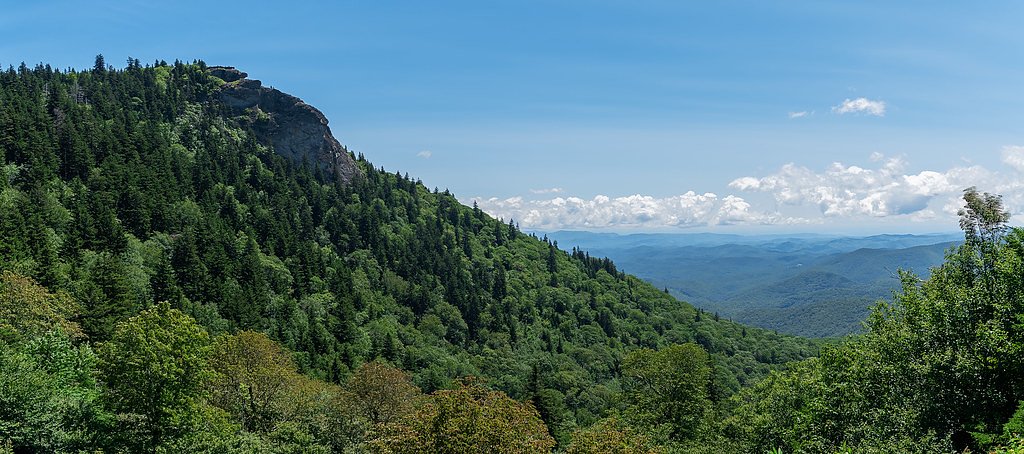
Wilson Creek, Linville Gorge Wilderness, and Table Rock Mountain are nearby attractions worth exploring.
Wildlife
The area is home to various wildlife, including deer, birds, and occasionally black bears. Visitors should practice bear safety and store food securely.
Cities near Yellowstone Falls
Nearby Waterfalls
Writing about Yellowstone Falls? Embed this waterfall on your site for free.