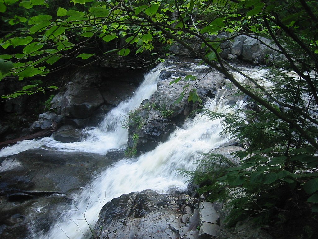
Hays Brook Falls
By Armen Suny · Last verified May 2026
Difficulty
Moderate
Trail Length
2.4 miles
Trail Type
Out And Back
Elevation Gain
350 ft
About Hays Brook Falls
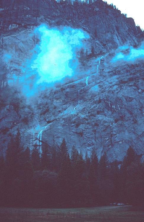
Hays Brook Falls is a scenic waterfall in Maine where water cascades over a series of rocky ledges into a peaceful pool, creating a picture-perfect spot for hikers and nature lovers. The setting feels quietly removed from roads and development, making it an appealing destination for photography, birding, or a short nature escape. The falls lie within the Gulf Hagas - White Cap land unit (land owner: SPR; designation: SOTH; manager: UNK). While basic visitor facilities and management details are limited in the provided data, the route to the falls is popular with day hikers and rewards a moderate effort with classic Maine woodland and rock-lined stream scenery.
The Setting
Hays Brook Falls sits at 712 feet within Gulf Hagas - White Cap, fed by the Sebec River, in the foothills of Maine.
Trail & Hike Details
The Approach
The moderate 2.4-mile out-and-back trail gains 350 feet of elevation on the way to the falls.
Trail Description
This out-and-back route to Hays Brook Falls is 2.4 miles round trip with roughly 350 feet of elevation gain and is rated moderate. The trail winds through forested terrain and crosses rocky, uneven sections—sturdy footwear and steady footing are recommended. Specific surface, grade, and official trail class data were not provided for this route; plan for typical singletrack and natural-surface conditions and allow extra time for slower sections and photo stops.
What to Expect
Dogs are welcome.
Accessibility
The trail is not wheelchair accessible. Uneven terrain and elevation changes require steady footing.
Frequently Asked Questions
🐶 Are Dogs Allowed at Hays Brook Falls?
✅ Dogs are allowed
Are There Any Fees or Permits Required?
🆖 No fees required
🏊 Is There Swimming at Hays Brook Falls?
❌ Swimming is not allowed
When to Visit
Spring and early summer are ideal for visiting Hays Brook Falls, as the water flow is usually at its peak during these seasons.
Seasonal Access
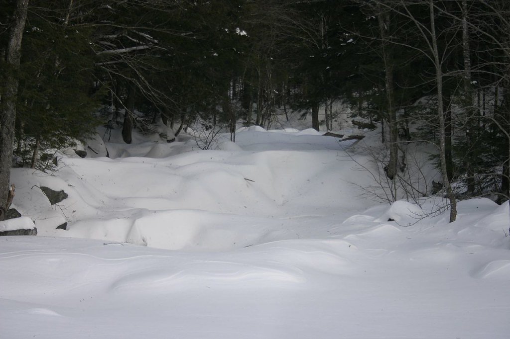
The best time to visit is Spring, Summer, and Fall. Winter access may be limited.
Safety Information
Be cautious of slippery rocks near the waterfall, especially after rain. Cell service may be limited in the area, so plan accordingly. Always let someone know your plans if hiking alone.
Current Water Conditions
Based on a USGS gauge 16.8 miles away
797 ft³/s
Current discharge — how much water is flowing
Higher than usual for this time of year
Based on 71 years of record
3.62 ft
Water depth at gauge
7-Day Discharge Trend
What does this mean for your visit?
The water is flowing higher than usual for this time of year.
About This Gauge
This gauge is on a regional waterway. Conditions at the falls may differ, especially after local rain.
7-Day Flow Outlook
Based on the USGS gauge Sebec River at Sebec, Maine (27 km away).
Today
Barely Flowing
868 cfs
3/10Tomorrow
Low
885 cfs
4/10Sun
Low
965 cfs
3/10Mon
Barely Flowing
957 cfs
5/10Tue
Low
1028 cfs
3/10Wed
Low
975 cfs
4/10Thu
Low
882 cfs
4/10Best window: Mon — barely flowing flow, mostly sunny (trip score 5/10).
Best time of year: this gauge typically runs highest from late March to early June, peaking in April.
How we calculate this
This is a transparent outlook, not a precise forecast. We take the waterfall's current flow strength (how it ranks against its historical normal for today, from the nearest USGS stream gauge), carry that ranking forward along the gauge's seasonal curve, and nudge it for forecast rain. Confidence is highest for the next day or two and falls further out. Always check official conditions and your own judgment before visiting — high flows can be dangerous.
Know when to go.
Get a free email alert when waterfalls near Brownville Junction hit peak flow. We only send when conditions are worth the trip — no weekly newsletters, no spam.
Weather Forecast
Location & Access
Getting There
Hays Brook Falls is located in a remote area of Maine. Access typically involves driving on rural roads, and the trailhead may not be well-marked. Visitors are advised to use GPS coordinates or detailed maps to locate the falls.
Get Directions on Google MapsParking
Parking is limited and may consist of a small pull-off area near the trailhead. Visitors should plan accordingly and avoid blocking access roads.
Elevation
712 feet above sea level
Coordinates
45.485325° N, -69.274494° W
Land Management
Managed by UNK
Visitor Tips & Gear
Visit during the spring or after heavy rains for the best water flow. Bring bug spray during the summer months, as mosquitoes and other insects can be prevalent. Be cautious of slippery rocks near the falls.
As an Amazon Associate, we earn from qualifying purchases.
With 2.4 miles and 350 ft of elevation gain, sturdy boots and trekking poles will help on this moderate trail. Sun exposure on the trail makes good sun protection a must in summer.

Columbia Watertight II Rain Jacket
Packs into its own pocket, seam-sealed, and keeps you dry from spray and surprise rain.

Earth Pak Waterproof Dry Bag
Keeps your phone and gear dry when waterfall mist soaks everything else.

Waterproof Phone Pouch (AiRunTech)
Cheap insurance — take photos right next to the falls without killing your phone.

Timberland Euro Sprint Mid Waterproof
Trusted waterproof boot with premium leather and grippy rubber sole — reliable on rocky, wet trails.

TrailBuddy Trekking Poles
Lightweight aluminum, cork grips, and flip-locks that actually hold — a best-seller for good reason.

Polarized Sunglasses (Knockaround)
Cuts glare off the water so you actually see the falls — and your photos turn out better too.
Where to Stay

Abbot Trailside Lodging

Waterfront home on Moosehead Lake

Leisure Life

All-Season Sanctuary: Steps to Moosehead Lake
Browse vacation cabins and private rentals nearby
Unique outdoor stays — tents, yurts, and treehouses
Rent a campervan or RV for your waterfall road trip
Some links are affiliate links. We may earn a commission at no extra cost to you.
Additional Information
Nearby Attractions
Other natural attractions in the area include hiking trails and scenic viewpoints. Check local guides for more information.
Wildlife
The area is home to various wildlife, including birds, deer, and small mammals. Visitors should respect the natural habitat and avoid disturbing animals.
Cities near Hays Brook Falls
Nearby Waterfalls

Writing about Hays Brook Falls? Embed this waterfall on your site for free.