Billings Falls
By Armen Suny · Last verified May 2026
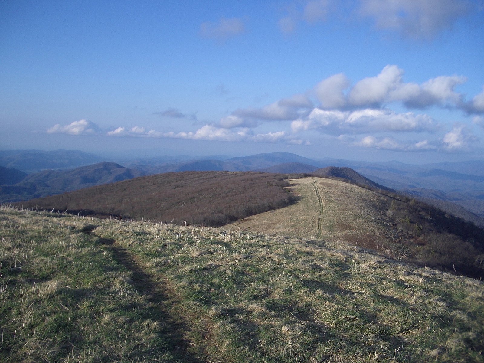

Photo Credits (3)
Difficulty
Moderate
Trail Length
2.5 miles
Trail Type
Out And Back
Elevation Gain
300 ft
About Billings Falls
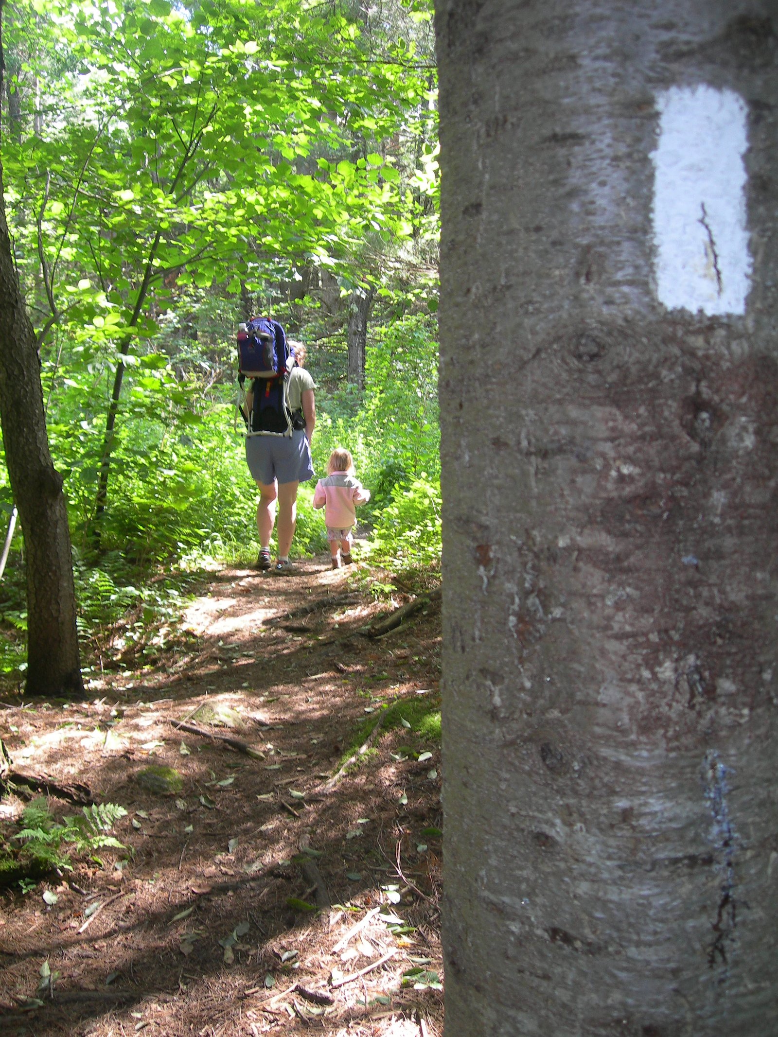
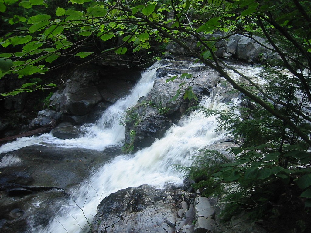
Billings Falls is a quietly scenic cascade set within the corridor of the Appalachian National Scenic Trail in Maine, managed by the National Park Service. Framed by the surrounding forest, the falls make a peaceful destination for hikers looking for a short nature escape along one of the country’s best-known long-distance routes. The waterfall’s setting on the Appalachian Trail connects it to the broader story of the nearly 2,190-mile National Scenic Trail that runs from Georgia to Maine. Reaching Billings Falls is a straightforward day outing: the route is an accessible, moderate hike that rewards visitors with the soothing sounds of flowing water and a sheltered spot to pause. Because the falls lie on NPS-managed trail land, visitors should follow Leave No Trace practices and any Appalachian Trail corridor regulations while enjoying the scenery.
The Setting
Billings Falls sits at 1,109 feet within Appalachian National Scenic Trail, fed by the Sebec River, in the foothills of Maine.
Trail & Hike Details
The Approach
The moderate 2.5-mile out-and-back trail gains 300 feet of elevation on the way to the falls.
Trail Description
This is a 2.5-mile out-and-back hike with about 300 feet of elevation gain, rated moderate. The path is a defined foottrail through forested terrain with generally moderate grades and a few steeper pitches as you gain elevation; expect natural surface underfoot (soil, roots, and occasional stones). Managed as part of the Appalachian National Scenic Trail by the National Park Service, the route is suitable for hikers looking for a half-day outing—sturdy footwear is recommended and typical trail etiquette for the AT applies.
What to Expect
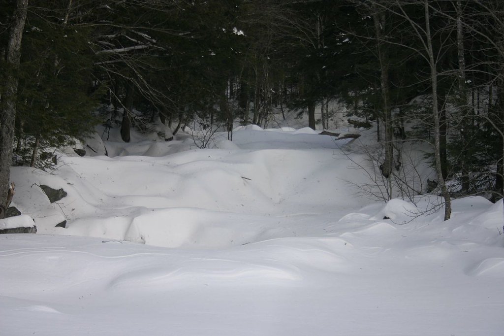
Visitors can expect a tranquil waterfall surrounded by lush greenery. The area is ideal for photography, picnicking, and enjoying the sounds of nature. The flow of the falls may vary depending on the season, with spring and early summer typically offering the most robust water flow.
Accessibility
The trail is not wheelchair accessible. Uneven terrain and elevation changes require steady footing.
Frequently Asked Questions
🐶 Are Dogs Allowed at Billings Falls?
❌ Dogs are not allowed
Are There Any Fees or Permits Required?
🆖 No fees required
🏊 Is There Swimming at Billings Falls?
❌ Swimming is not allowed
When to Visit
Spring and early summer are the best times to visit, as the waterfall is likely to have the strongest flow during these seasons.
Seasonal Access
The best time to visit is Spring, Summer, and Fall. Winter access may be limited. Check the National Park Service website for current conditions.
Safety Information
Be cautious of slippery rocks near the waterfall. Always stay on marked trails and avoid venturing too close to the edge of the falls. Check weather conditions before your visit.
Current Water Conditions
Based on a USGS gauge 19 miles away
558 ft³/s
Current discharge — how much water is flowing
Higher than usual for this time of year
Based on 71 years of record
3.28 ft
Water depth at gauge
7-Day Discharge Trend
What does this mean for your visit?
The water is flowing higher than usual for this time of year.
About This Gauge
This gauge is on a regional waterway. Conditions at the falls may differ, especially after local rain.
7-Day Flow Outlook
Based on the USGS gauge Sebec River at Sebec, Maine (31 km away).
Today
Low
636 cfs
3/10Tomorrow
Barely Flowing
653 cfs
5/10Tue
Barely Flowing
616 cfs
5/10Wed
Low
659 cfs
3/10Thu
Low
650 cfs
3/10Fri
Low
599 cfs
4/10Sat
Low
523 cfs
4/10Best window: Tomorrow — barely flowing flow, sunny (trip score 5/10).
Best time of year: this gauge typically runs highest from late March to early June, peaking in April.
How we calculate this
This is a transparent outlook, not a precise forecast. We take the waterfall's current flow strength (how it ranks against its historical normal for today, from the nearest USGS stream gauge), carry that ranking forward along the gauge's seasonal curve, and nudge it for forecast rain. Confidence is highest for the next day or two and falls further out. Always check official conditions and your own judgment before visiting — high flows can be dangerous.
Know when to go.
Get a free email alert when waterfalls near Brownville Junction hit peak flow. We only send when conditions are worth the trip — no weekly newsletters, no spam.
Weather Forecast
Location & Access
Getting There
Billings Falls is located within a forested area in Maine. Access typically involves driving to a nearby trailhead, followed by a hike to the falls. Specific directions may vary depending on the starting point.
Get Directions on Google MapsParking
Parking is available at the trailhead, but spaces may be limited during peak seasons.
Elevation
1,109 feet above sea level
Coordinates
45.494491° N, -69.338939° W
Land Management
Managed by NPS
Visitor Tips & Gear
Arrive early to secure parking and avoid crowds. Bring plenty of water, wear sturdy hiking shoes, and be prepared for changing weather conditions.
As an Amazon Associate, we earn from qualifying purchases.
With 2.5 miles and 300 ft of elevation gain, sturdy boots and trekking poles will help on this moderate trail. Sun exposure on the trail makes good sun protection a must in summer.
America the Beautiful Annual Pass
Covers entrance fees at 2,000+ federal recreation sites — required at most National Parks.

Polarized Sunglasses (Knockaround)
Cuts glare off the water so you actually see the falls — and your photos turn out better too.

Columbia Watertight II Rain Jacket
Packs into its own pocket, seam-sealed, and keeps you dry from spray and surprise rain.

Earth Pak Waterproof Dry Bag
Keeps your phone and gear dry when waterfall mist soaks everything else.

Waterproof Phone Pouch (AiRunTech)
Cheap insurance — take photos right next to the falls without killing your phone.

Timberland Euro Sprint Mid Waterproof
Trusted waterproof boot with premium leather and grippy rubber sole — reliable on rocky, wet trails.

TrailBuddy Trekking Poles
Lightweight aluminum, cork grips, and flip-locks that actually hold — a best-seller for good reason.
Where to Stay

Abbot Trailside Lodging

Waterfront home on Moosehead Lake

Leisure Life

All-Season Sanctuary: Steps to Moosehead Lake
Browse vacation cabins and private rentals nearby
Unique outdoor stays — tents, yurts, and treehouses
Rent a campervan or RV for your waterfall road trip
Some links are affiliate links. We may earn a commission at no extra cost to you.
Additional Information
Nearby Attractions
Nearby hiking trails and scenic viewpoints may be available in the surrounding area.
Wildlife
The area is home to a variety of wildlife, including birds, deer, and small mammals. Be respectful of the natural habitat.
Cities near Billings Falls
Nearby Waterfalls

Writing about Billings Falls? Embed this waterfall on your site for free.