Photo Credits (5)
Difficulty
Easy
Trail Length
0.5 miles
Trail Type
Out And Back
About Fern Rock Falls
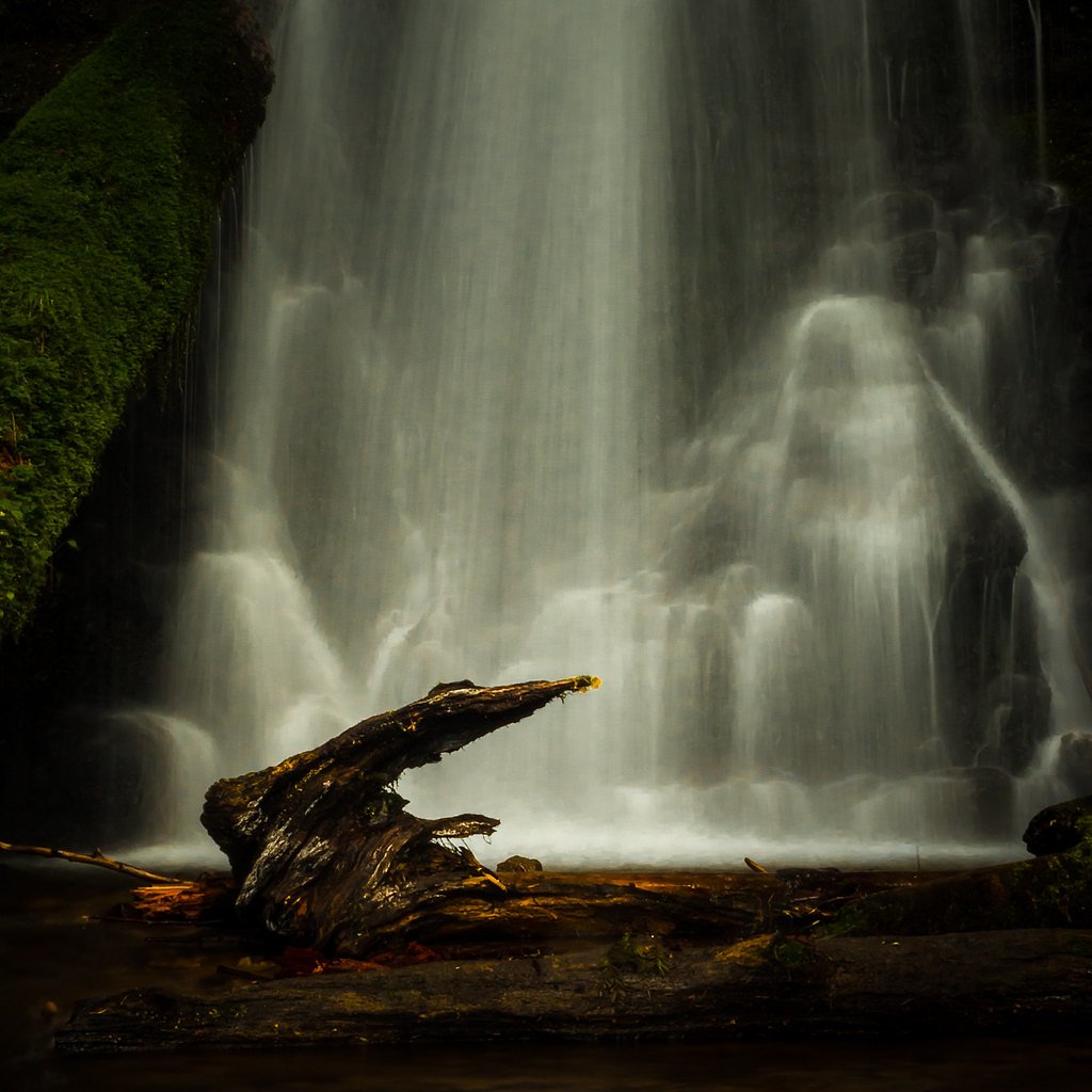
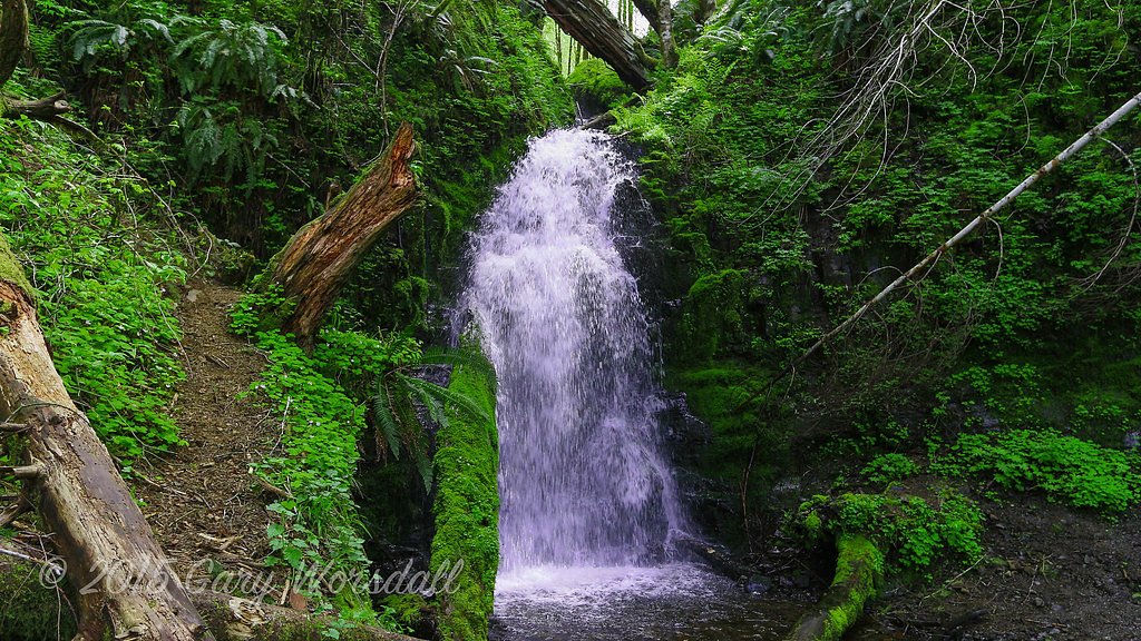
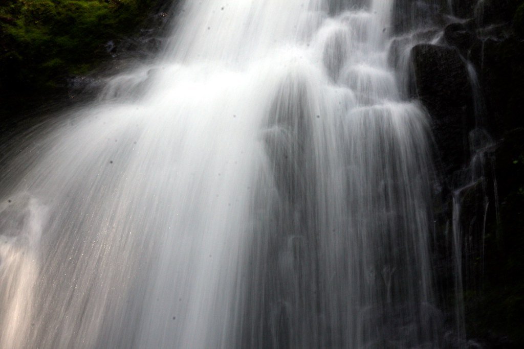
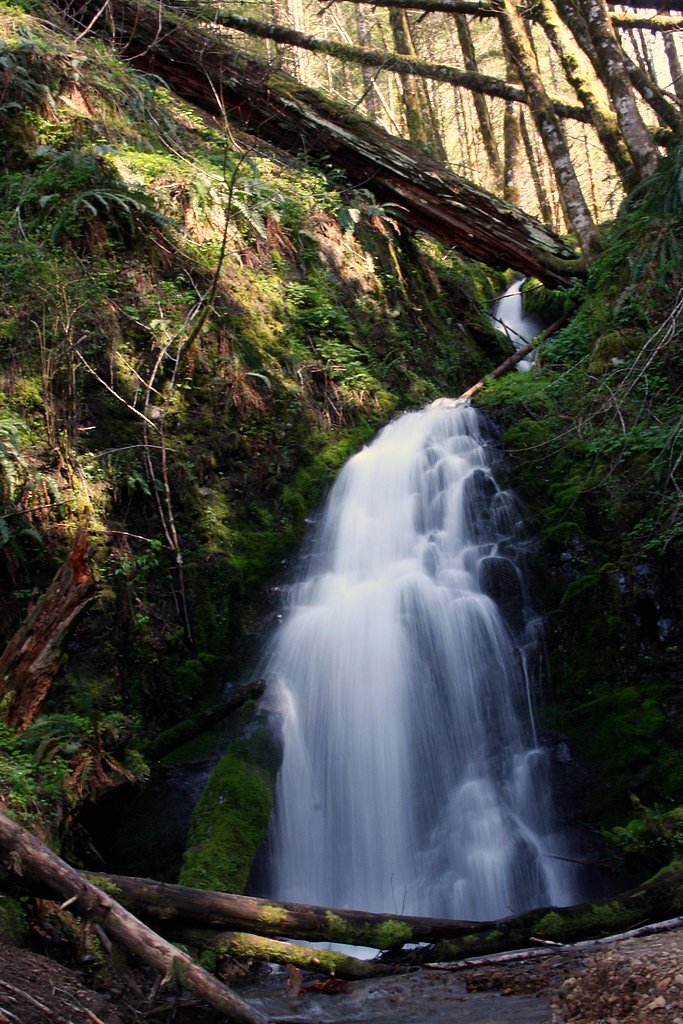
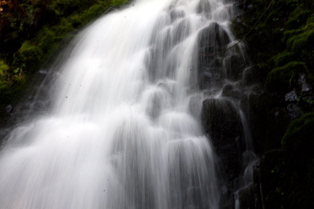
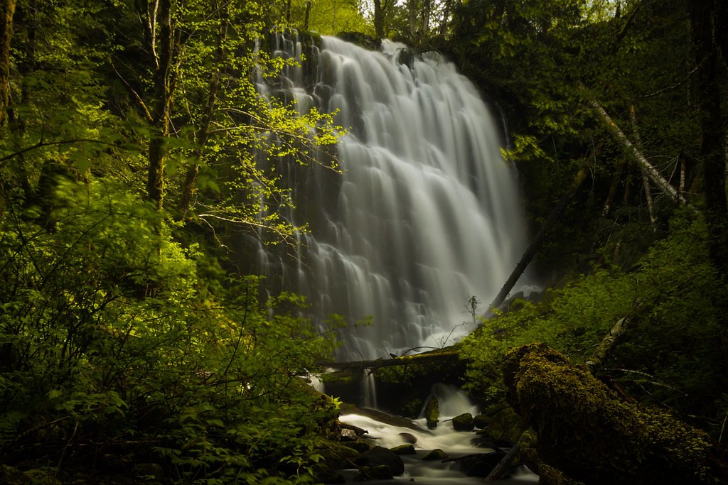
Fern Rock Falls is a picturesque little waterfall tucked into Oregon’s forested hills, framed by lush greenery and moss-covered rocks. The cascade is a peaceful spot for a short nature escape, drawing hikers who enjoy a quiet, woodland setting rather than a crowded viewpoint. The land is state-owned (SDNR) and managed under the Forest Development Fund (Board of Forestry); the site is designated as an SRMA and overseen by SLB, so visitors should expect a recreation-focused setting with stewardship directed by those units. Access to the falls comes via a moderately paced out-and-back hike of about 2.4 miles round trip with roughly 350 feet of elevation gain. The trail rewards a short climb with a tranquil waterfall and forest scenery; the nearest developed camping is a ways off (Dovre Recreation Site, about 32.6 km away), so plan day-use visits accordingly. The route is best for hikers comfortable with a moderate-grade walk and looking for a calm, restorative outing in managed state forest lands.
The Setting
Fern Rock Falls sits at 1,079 feet within Forest Development Fund (Board Of Forestry), in the foothills of Oregon.
Trail & Hike Details
Trail Description
Out-and-back, 2.4 miles total with approximately 350 feet elevation gain. Rated moderate difficulty. The trail follows a defined forest path to the waterfall; surface, grade class, and official USFS trail number are not provided in the available data. Suitable for hikers comfortable with moderate climbs; allow time to enjoy the falls and return trip.
What to Expect
Dogs are welcome.
Accessibility
The trail is short and relatively flat, but the surface may be uneven. Contact the managing agency for accessibility details.
Frequently Asked Questions
🐶 Are Dogs Allowed at Fern Rock Falls?
✅ Dogs are allowed
Are There Any Fees or Permits Required?
🆖 No fees required
🏊 Is There Swimming at Fern Rock Falls?
❌ Swimming is not allowed
When to Visit
Spring and early summer are the best times to visit, as the waterfall is typically at its fullest due to seasonal rainfall.
Seasonal Access
The best time to visit is Spring, Summer, and Fall. Winter access may be limited.
Safety Information
The trail may be slippery after rain, so exercise caution. Stay on the designated path to avoid damaging the environment or risking injury.
Know when to go.
Get a free email alert when waterfalls near Banks hit peak flow. We only send when conditions are worth the trip — no weekly newsletters, no spam.
Weather Forecast
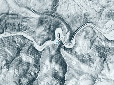
The Terrain, Seen by LiDAR
Aircraft-mounted lasers measured this ground to within inches. Trees and buildings are digitally stripped away, leaving the bare shape of the land the water has carved.
Through the falls the surface drops roughly 206 feet over a short, steep run of tiers. Elevation at the pin is about 1,089 feet.
The whole reach is steep: about 104 feet of descent in the 500 feet above the falls and another 79 feet in the 500 feet below. The falls face north and stay mostly shaded, with soft, even light all day.
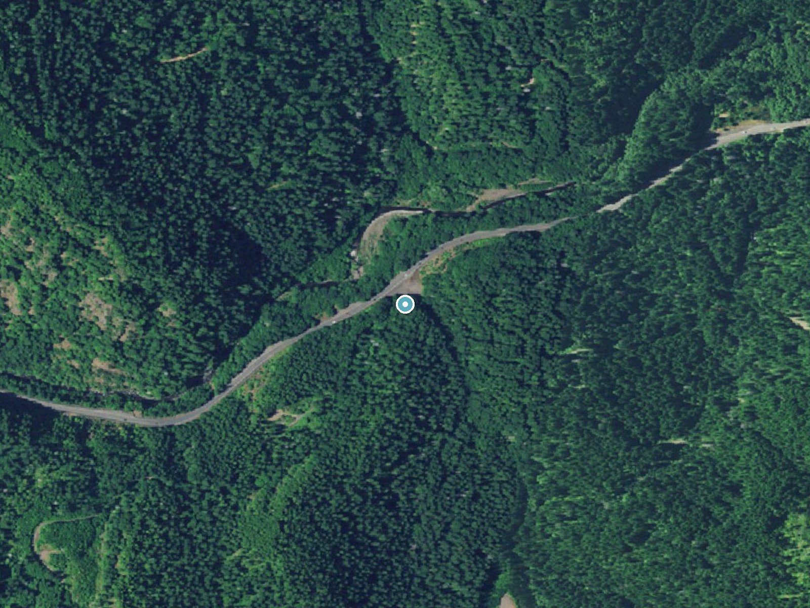
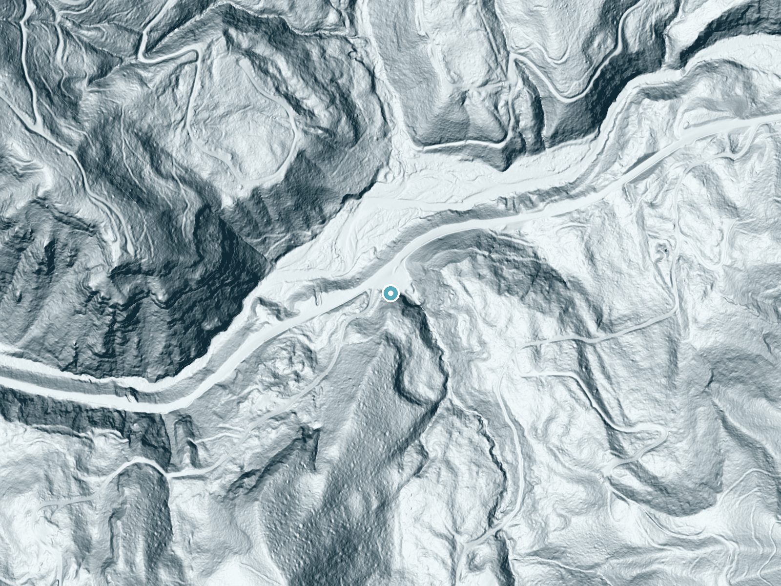
Drag to compare. The dot marks the waterfall. The frame is about a mile across.
- Ground elevation
- 1,089 feet
- Measured by 1-meter lidar
- Drop at the falls
- About 206 feet
- Change in ground height within ~250 feet of the falls
- Faces
- North
- Mostly shaded, so the light stays soft and even all day.
A slice through the lidar ground surface, from above the falls to downstream (heading north).
Elevation data: USGS 3D Elevation Program. Aerial imagery: USGS The National Map. Public domain.
Location & Access
Getting There
Fern Rock Falls is located in the Siuslaw National Forest in Oregon. It can be accessed via a short drive from nearby towns such as Mapleton or Florence. Specific directions to the trailhead may vary, so checking local maps or GPS is recommended.
Get Directions on Google MapsParking
There is limited parking available near the trailhead. Visitors are advised to arrive early, especially during peak seasons, to secure a spot.
Elevation
1,079 feet above sea level
Coordinates
45.607333° N, -123.437339° W
Land Management
Managed by SLB
Visitor Tips & Gear
Wear sturdy shoes as the trail may be muddy or slippery, especially after rain. Bring a camera to capture the scenic beauty of the falls. Arrive early to avoid crowds and secure parking.
Where to Stay

Inn at Cannon Beach
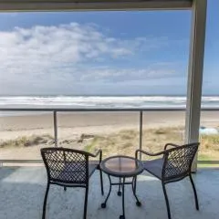
Rockaway oceanview condo,Steps to the beach & Downtown,W&D, WiFi
Rockaway beach vibes,Waterfront Oceanfront Rockaway Beach House near Downtown,WIFI, Washer Dryer

Cannon beach vibes, steps to the beach,WIFI,3 full bedroom en suites with 3 fireplaces,Near Downtown
Browse vacation cabins and private rentals nearby
Unique outdoor stays — tents, yurts, and treehouses
Rent a campervan or RV for your waterfall road trip
Some links are affiliate links. We may earn a commission at no extra cost to you.
Nearby Campground
Dovre Recreation Site
20.2 miles away · 11 sites
Overview Want to camp? Camping season is generally May-September, with Alder Glen and Elk Bend remaining open through the weekend following General Western Oregon Coast 2nd Season for elk. During months with reduced sunlight, potable water may be turned off. Be prepared to bring your own wash and drinking water. Reserve a site at one of our four campgrounds on recreation.gov or pay when you arrive for non-reserved campsites using the Recreation.gov Mobile App. You must download before you reach t
Book on Recreation.govAdditional Information
Nearby Attractions
Nearby attractions include Sweet Creek Falls and the Oregon Dunes National Recreation Area.
Wildlife
The area is home to a variety of wildlife, including birds, deer, and small mammals. Visitors may also spot native plants and wildflowers along the trail.
Cities near Fern Rock Falls
Nearby Waterfalls
 LiDAR
LiDAR
Writing about Fern Rock Falls? Embed this waterfall on your site for free.