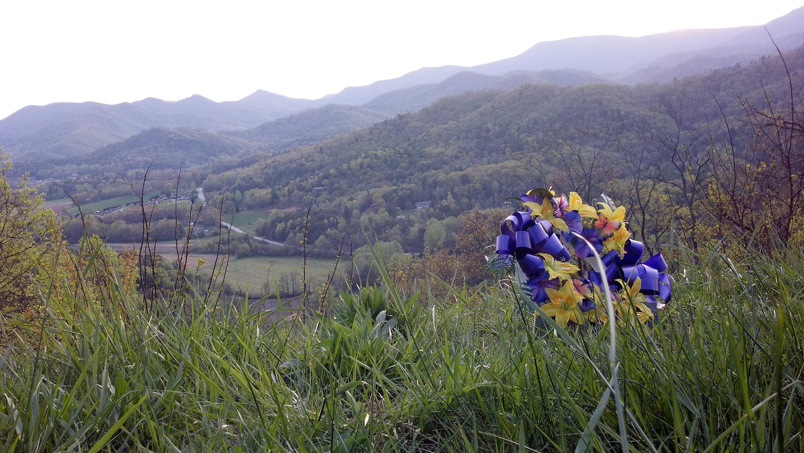
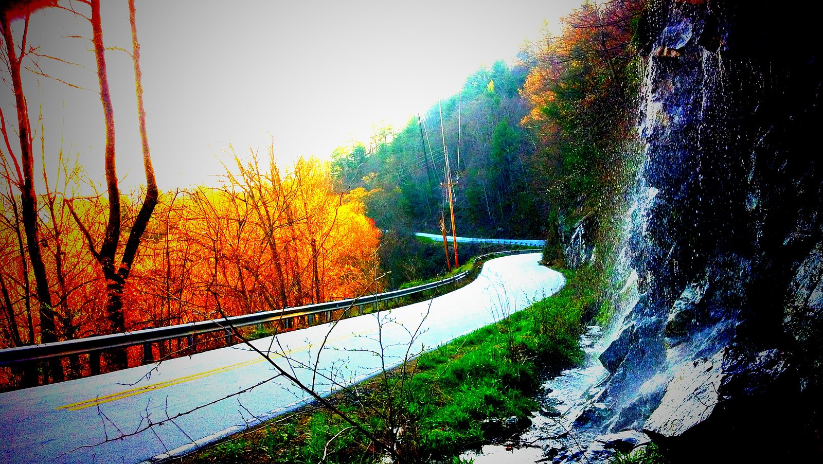
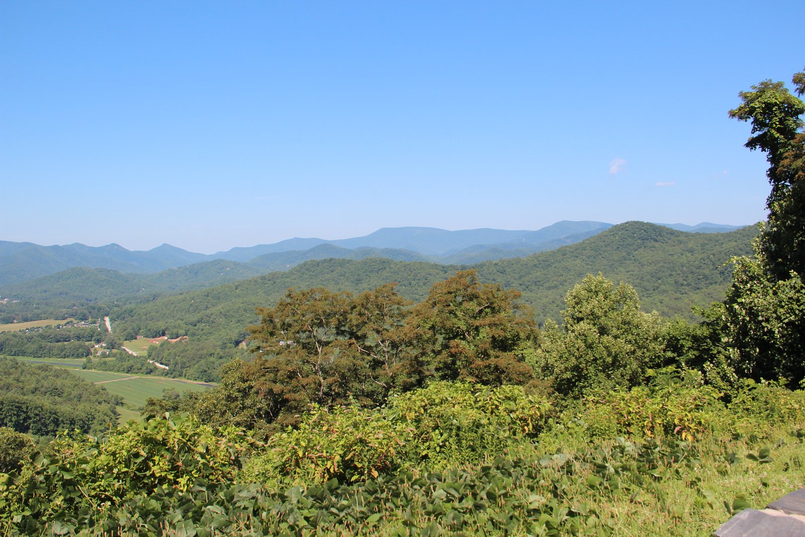
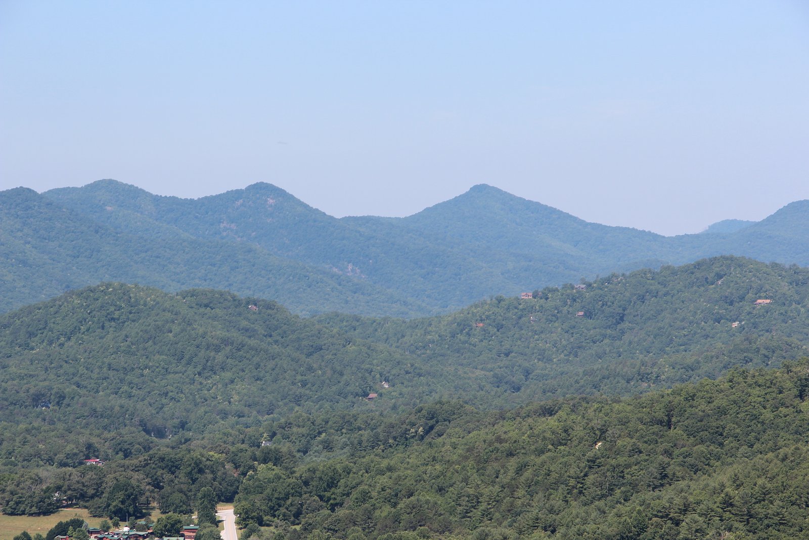

Photo Credits (5)
Difficulty
Moderate
Trail Length
2.4 miles
Trail Type
Out And Back
Elevation Gain
350 ft
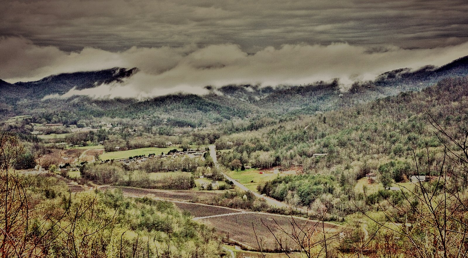
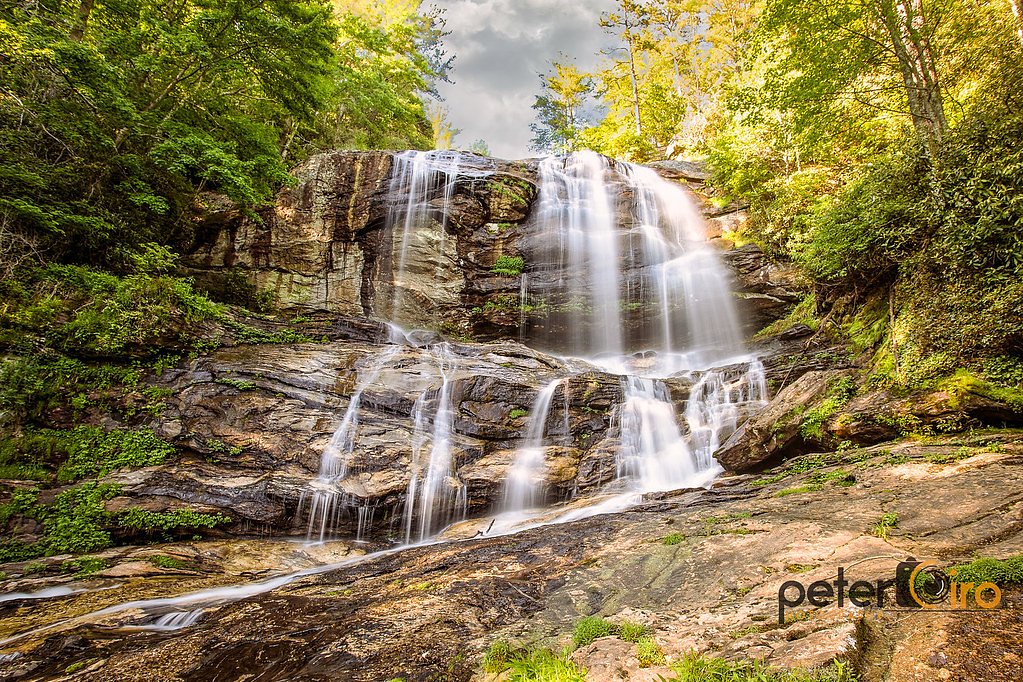
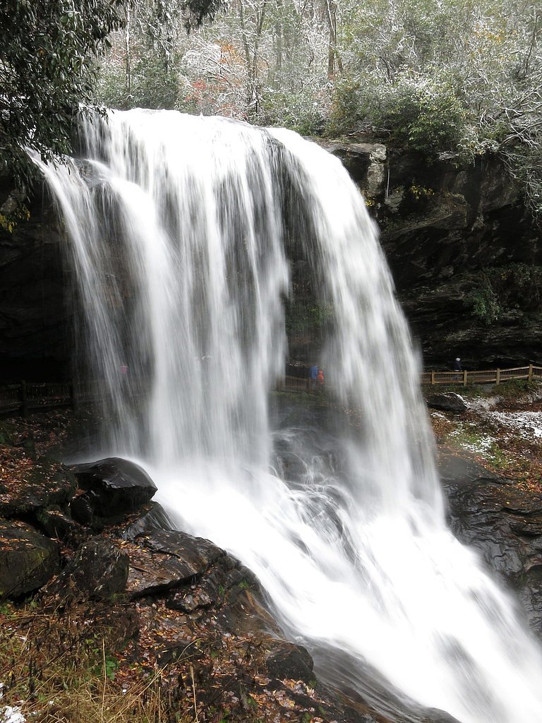
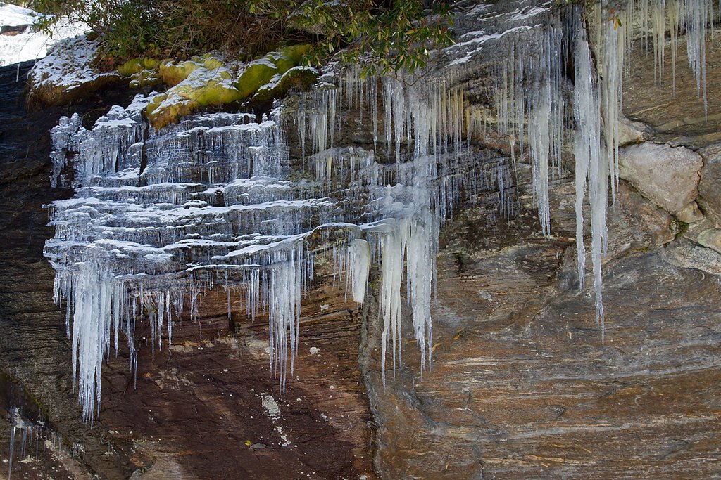
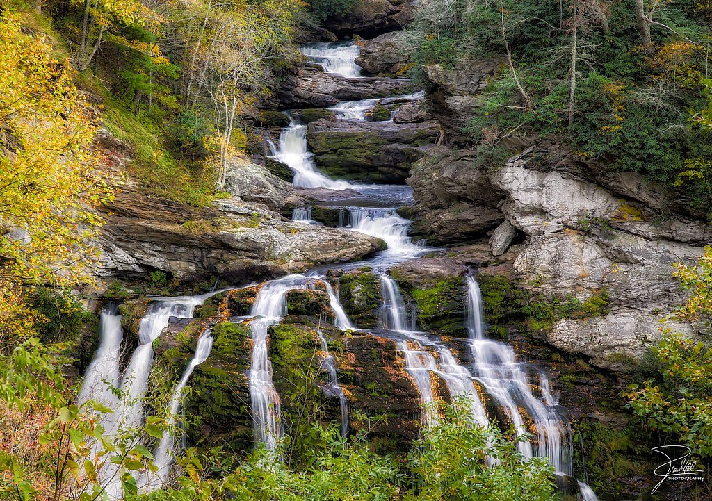
About Estatoah Falls
Estatoah Falls is a dramatic, multi-tiered cascade on Mud Creek tucked into Rabun County’s mountain slopes near Sky Valley, Georgia. The waterfall plunges down a steep mountainside in a series of drops, creating a striking roadside spectacle after rains. Because the falls sit on private property, they are not open to the public; instead most visitors enjoy views from several pullouts and vantage points along State Route 246. If you’re exploring the area around Sky Valley, keep an eye out for nearby Little Estatoah Falls (also called Mud Creek Falls), a smaller roughly 100-foot cascade within the Sky Valley resort city that echoes the same rugged, forested character. Respect private land boundaries when viewing Estatoah Falls — the waterfall is not managed by a public land agency and lacks official public access, so roadside viewpoints along SR 246 are the appropriate places to stop and take photos.
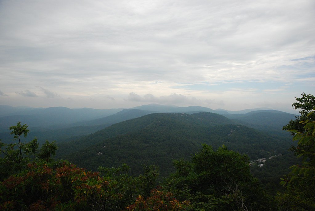
The Setting
Estatoah Falls sits at 2,785 feet along the Tallulah River, in the hills of Georgia.
Nearby Falls Worth Visiting
Cullasaja Falls (250 ft) lies 9.7 miles to the northeast. Also nearby: Dry Falls (75 ft, 8.0 mi) and Bridal Veil Falls (45 ft, 8.6 mi).
Trail & Hike Details
The Approach
The moderate 2.4-mile out-and-back trail gains 350 feet of elevation on the way to the falls.
Trail Description
There is no official or Forest Service trail to Estatoah Falls because the falls lie on private land; the standard approach is to view the cascade from roadside viewpoints on State Route 246. Some route descriptions and local guides list an informal 2.4-mile out-and-back route with about 350 feet of elevation gain classified as moderate, but this is unofficial and mainly follows roadside and social paths to viewpoints rather than a maintained trail. Surface and formal trail classification are not provided by USFS — if you attempt any off-road approach, be aware it may cross private property and could be illegal or unsafe.
What to Expect
Expect a beautiful, cascading waterfall visible from the road. The falls are most impressive after heavy rainfall. Since the area is private property, visitors should respect boundaries and avoid trespassing.
Accessibility
The trail is not wheelchair accessible. Uneven terrain and elevation changes require steady footing.
Frequently Asked Questions
🐶 Are Dogs Allowed at Estatoah Falls?
❌ Dogs are not allowed
Are There Any Fees or Permits Required?
🆖 No fees required
🏊 Is There Swimming at Estatoah Falls?
❌ Swimming is not allowed
When to Visit
Spring and fall are ideal times to visit due to the lush greenery and vibrant foliage. Summer is also a good time, but the falls may be less impressive during dry periods.
Seasonal Access
The best time to visit is Spring, Summer, and Fall. Winter access may be limited.
Safety Information
Exercise caution when parking along the roadside. Do not attempt to climb or access the falls as they are on private property and the terrain is steep and potentially dangerous.
Current Water Conditions
112 ft³/s
Current discharge — how much water is flowing
About average for this time of year
Based on 61 years of record
2.24 ft
Water depth at gauge
7-Day Discharge Trend
What does this mean for your visit?
Flow is about average for this time of year.
About This Gauge
This gauge is on a nearby waterway and may not reflect exact conditions at the falls.
7-Day Flow Outlook
Based on the USGS gauge TALLULAH RIVER NEAR CLAYTON, GA (20 km away).
Today
Roaring
127 cfs
6/10Tomorrow
Roaring
137 cfs
6/10Wed
Roaring
134 cfs
6/10Thu
Roaring
135 cfs
6/10Fri
Roaring
126 cfs
6/10Sat
Roaring
119 cfs
6/10Sun
Roaring
118 cfs
6/10Best window: Today — roaring flow, mostly sunny then chance showers and thunderstorms (trip score 6/10).
Best time of year: this gauge typically runs highest from mid February to mid April, peaking in March.
How we calculate this
This is a transparent outlook, not a precise forecast. We take the waterfall's current flow strength (how it ranks against its historical normal for today, from the nearest USGS stream gauge), carry that ranking forward along the gauge's seasonal curve, and nudge it for forecast rain. Confidence is highest for the next day or two and falls further out. Always check official conditions and your own judgment before visiting — high flows can be dangerous.
Know when to go.
Get a free email alert when waterfalls near Sky Valley hit peak flow. We only send when conditions are worth the trip — no weekly newsletters, no spam.
Weather Forecast
Location & Access
Getting There
Estatoah Falls is located near Sky Valley, Georgia, along Highway 246. The falls can be viewed from the road, but there is no official trail leading directly to the base due to its location on private property.
Get Directions on Google MapsParking
Parking is limited and typically roadside. Visitors should exercise caution when parking and ensure they are not blocking traffic or private driveways.
Elevation
2,785 feet above sea level
Coordinates
34.991201° N, -83.344321° W
Visitor Tips & Gear
Visit after recent rainfall for the best views. Be cautious when parking along the roadside, and avoid blocking traffic. Bring a camera to capture the scenic beauty.
As an Amazon Associate, we earn from qualifying purchases.
With 2.4 miles and 350 ft of elevation gain, sturdy boots and trekking poles will help on this moderate trail. Sun exposure on the trail makes good sun protection a must in summer.

Polarized Sunglasses (Knockaround)
Cuts glare off the water so you actually see the falls — and your photos turn out better too.

Columbia Watertight II Rain Jacket
Packs into its own pocket, seam-sealed, and keeps you dry from spray and surprise rain.

Earth Pak Waterproof Dry Bag
Keeps your phone and gear dry when waterfall mist soaks everything else.

Waterproof Phone Pouch (AiRunTech)
Cheap insurance — take photos right next to the falls without killing your phone.

Timberland Euro Sprint Mid Waterproof
Trusted waterproof boot with premium leather and grippy rubber sole — reliable on rocky, wet trails.

TrailBuddy Trekking Poles
Lightweight aluminum, cork grips, and flip-locks that actually hold — a best-seller for good reason.
Where to Stay

Mountain Valley Inn

Red Top Tree House

Private Mtn Love Shack w/ fast wifi, BBQ & view

Mountain Aire Cottages, Inn & Glamping
Browse vacation cabins and private rentals nearby
Unique outdoor stays — tents, yurts, and treehouses
Rent a campervan or RV for your waterfall road trip
Some links are affiliate links. We may earn a commission at no extra cost to you.
Nearby Campground
Sarah's Creek Campground (Clayton, GA)
6.3 miles away · 22 sites
Overview Extending the same primitive feel as its neighboring West Fork Campground and the Chattooga River, Sarah's Creek 22-site developed campground offers a tranquil escape, a place to relax, and perhaps a chance to throw in a line to catch a few fish. Recreation Sarah's Creek Campground is in another unique area in the Chattahoochee National Forest. You can enjoy walking along the number of creeks or the Chattooga Wild and Scenic River. If some water activities are on your mind the Chattooga
Book on Recreation.govAdditional Information
Nearby Attractions
Sky Valley Resort, Rabun Bald (hiking), and Black Rock Mountain State Park.
Wildlife
The area around Sky Valley is home to deer, birds, and other small wildlife. Visitors may also see native plants and wildflowers.
Cities near Estatoah Falls
Nearby Waterfalls
Writing about Estatoah Falls? Embed this waterfall on your site for free.