Copper Falls
Michigan • Isle Royale National Park
By Armen Suny · Last verified Mar 2026

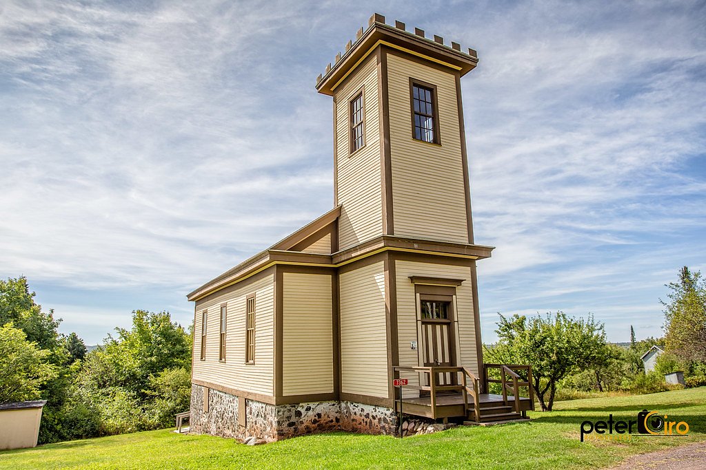
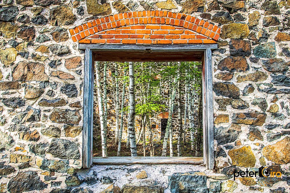
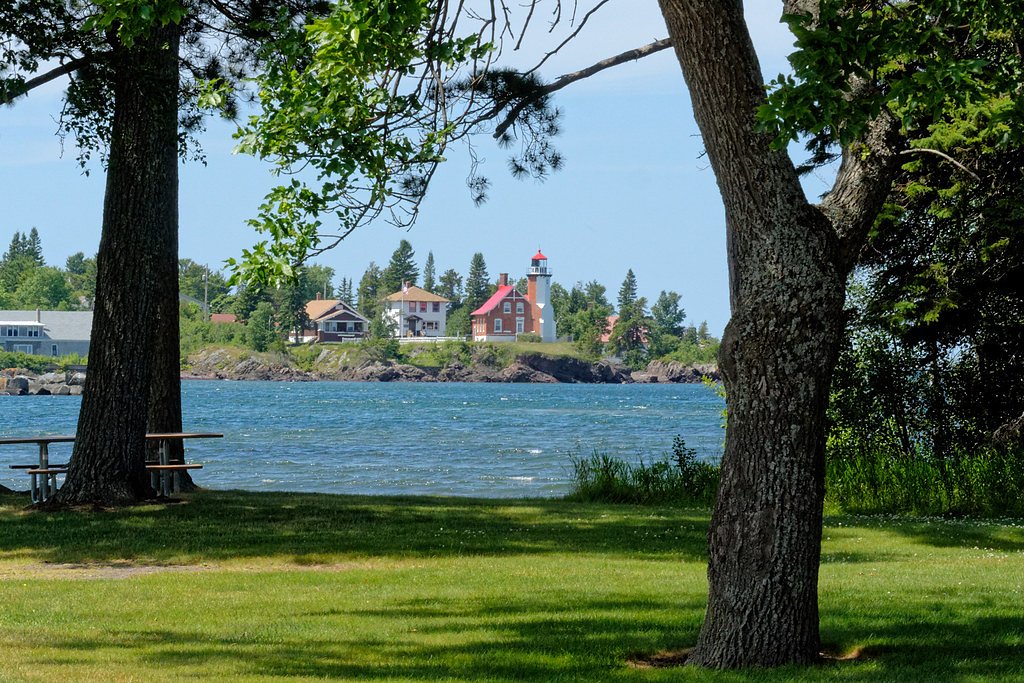
Photo Credits (5)
Difficulty
Moderate
Trail Length
2.4 miles
Trail Type
Out And Back
Elevation Gain
350 ft
About Copper Falls
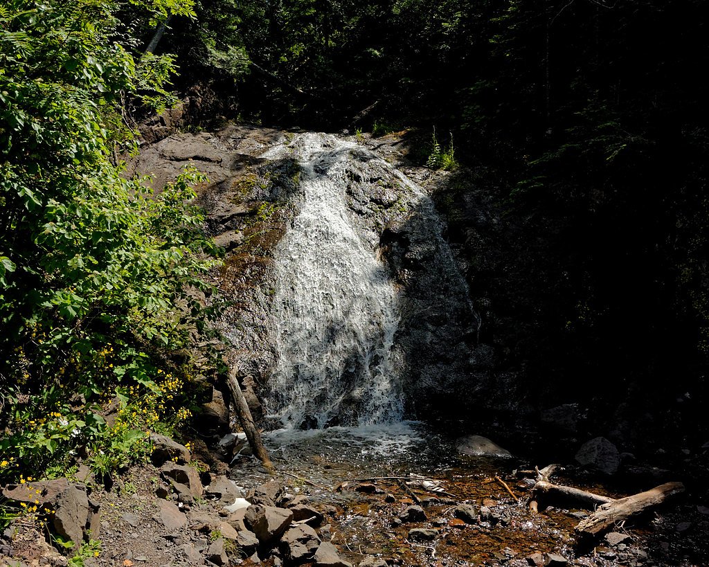
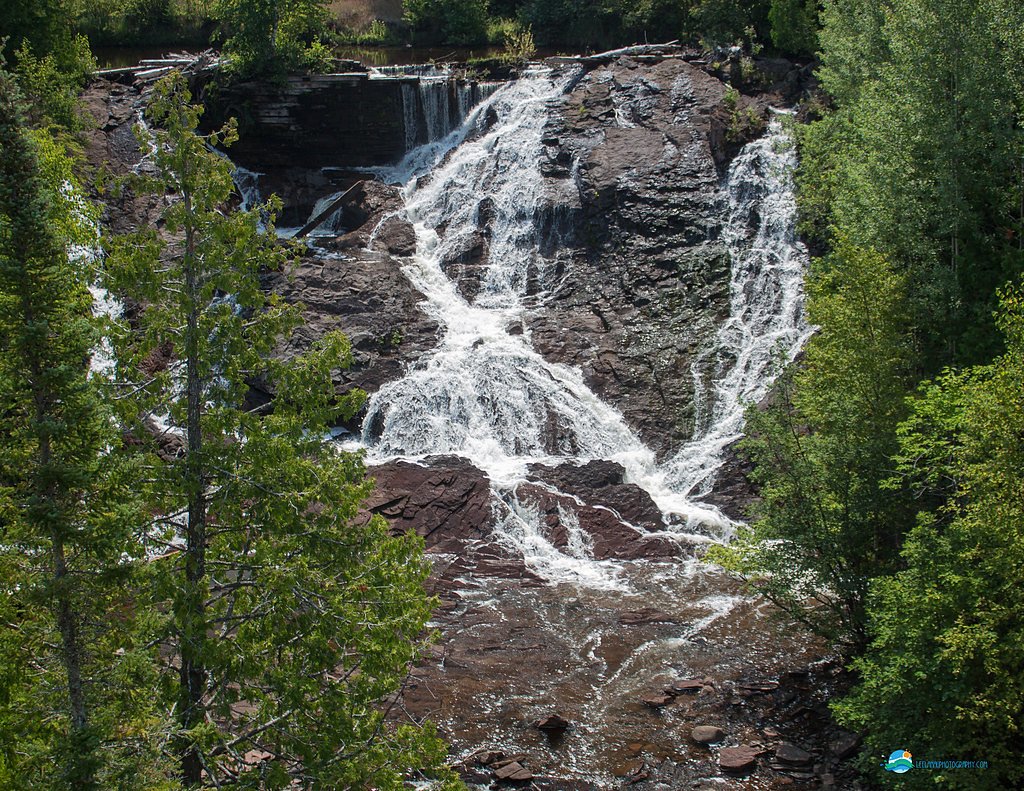
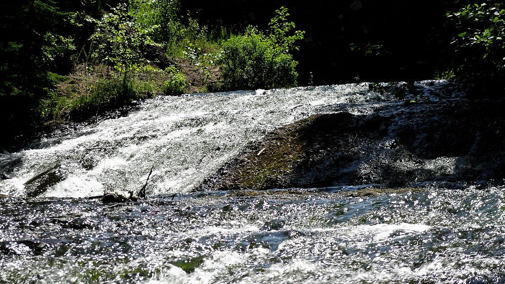
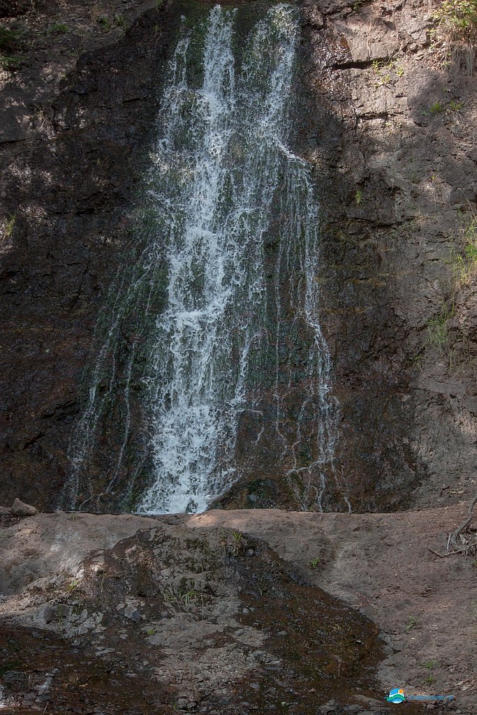
Copper Falls is a scenic waterfall located in the Porcupine Mountains Wilderness State Park in Michigan. It is part of the Presque Isle River system and is known for its picturesque surroundings, including dense forests and rugged terrain. The waterfall is a popular destination for hikers and nature enthusiasts.
The Setting
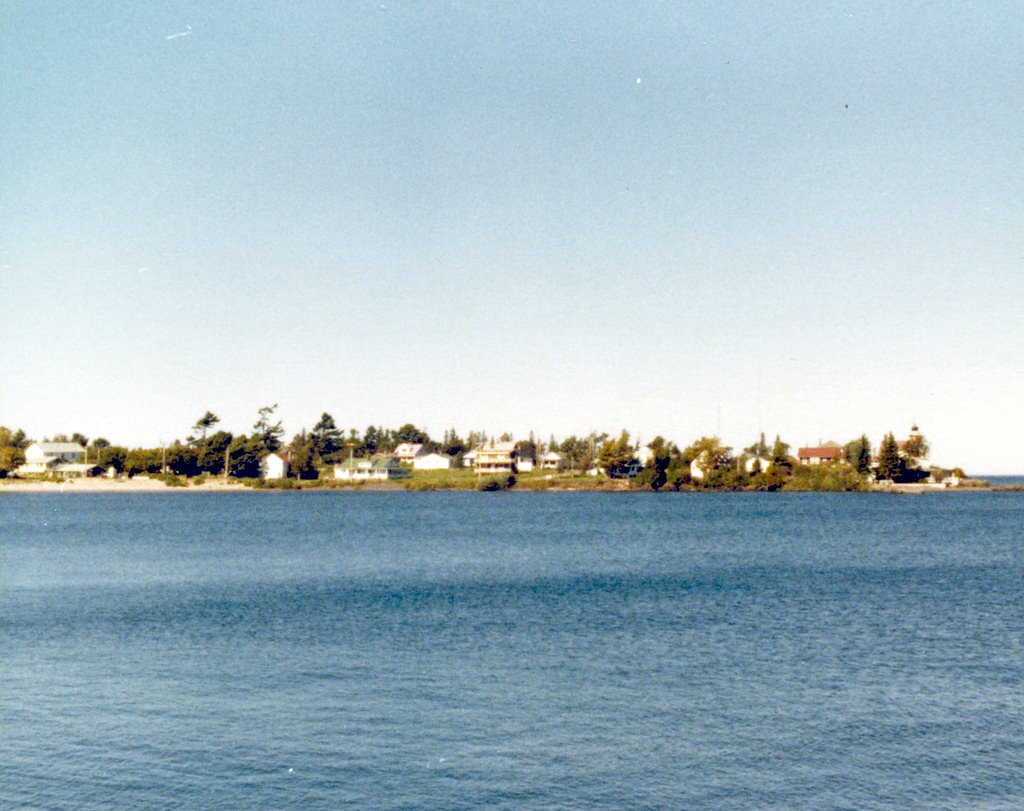
Copper Falls sits at 1,001 feet within Isle Royale National Park, fed by the Pilgrim River, in the foothills of Michigan.
Nearby Falls Worth Visiting
Eagle River Falls (40 ft) lies 4.8 miles to the west. Also nearby: Jacobs Falls (20 ft, 1.9 mi).
Trail & Hike Details
The Approach
The moderate 2.4-mile out-and-back trail gains 350 feet of elevation on the way to the falls.
Trail Description
The trail to Copper Falls is a well-maintained loop that follows the Presque Isle River. It features wooden boardwalks, bridges, and scenic overlooks, making it accessible for most visitors. The trail offers stunning views of the river and surrounding forest.
What to Expect
Dogs are welcome.
Accessibility
The trail is not wheelchair accessible. Uneven terrain and elevation changes require steady footing.
Frequently Asked Questions
🐶 Are Dogs Allowed at Copper Falls?
✅ Dogs are allowed
Are There Any Fees or Permits Required?
🤑 Fee: $9.00
🏊 Is There Swimming at Copper Falls?
❌ Swimming is not allowed
When to Visit
Spring and early summer are ideal for viewing the falls at their fullest flow, while fall offers stunning foliage. Winter visits may require snowshoes or winter gear.
Seasonal Access
The best time to visit is Spring, Summer, and Fall. Winter access may be limited. Check with Isle Royale National Park for current conditions.
Safety Information
Exercise caution near the river and waterfall edges, as rocks can be slippery. Be aware of wildlife and follow park guidelines.
Current Water Conditions
Based on a USGS gauge 29.2 miles away
14 ft³/s
Current discharge — how much water is flowing
About average for this time of year
Based on 10 years of record
67.70 ft
Water depth at gauge
58°F
ColdBracing — limit time in water
7-Day Discharge Trend
What does this mean for your visit?
Flow is about average for this time of year. Water temperature is a bracing 58 degrees F, limit your time in the water. Expect crystal clear visibility and excellent dissolved oxygen levels. Mineral content is typical.
Water Quality
Dissolved Oxygen
ExcellentSupports aquatic life
Water Clarity
Crystal clearExcellent visibility
Conductance
Dissolved minerals in the water
About This Gauge
This gauge is on a regional waterway. Conditions at the falls may differ, especially after local rain.
7-Day Flow Outlook
Based on the USGS gauge PILGRIM RIVER AT PARADISE RD NR DODGEVILLE, MI (47 km away).
Today
Barely Flowing
14 cfs
5/10Tomorrow
Barely Flowing
14 cfs
5/10Mon
Low
18 cfs
3/10Tue
Low
22 cfs
4/10Wed
Low
19 cfs
3/10Thu
Low
17 cfs
3/10Fri
Low
17 cfs
3/10Best window: Today — barely flowing flow, sunny (trip score 5/10).
Best time of year: this gauge typically runs highest from mid March to mid May, peaking in April.
How we calculate this
This is a transparent outlook, not a precise forecast. We take the waterfall's current flow strength (how it ranks against its historical normal for today, from the nearest USGS stream gauge), carry that ranking forward along the gauge's seasonal curve, and nudge it for forecast rain. Confidence is highest for the next day or two and falls further out. Always check official conditions and your own judgment before visiting — high flows can be dangerous.
Know when to go.
Get a free email alert when waterfalls near Eagle Harbor hit peak flow. We only send when conditions are worth the trip — no weekly newsletters, no spam.
Weather Forecast
Location & Access
Getting There
Copper Falls is located within the Porcupine Mountains Wilderness State Park in Michigan's Upper Peninsula. Visitors can access the falls via the Presque Isle River area, which is well-marked within the park.
Get Directions on Google MapsParking
Parking is available at the Presque Isle River area within the state park. The parking lot is typically well-maintained and provides access to several trails leading to the falls.
Elevation
1,001 feet above sea level
Coordinates
47.430556° N, -88.195833° W
Visitor Tips & Gear
Wear sturdy shoes as the trail may be slippery, especially after rain. Bring insect repellent during the summer months. Arrive early during peak seasons to secure parking and enjoy a quieter experience.
As an Amazon Associate, we earn from qualifying purchases.
With 2.4 miles and 350 ft of elevation gain, sturdy boots and trekking poles will help on this moderate trail. Sun exposure on the trail makes good sun protection a must in summer.

Polarized Sunglasses (Knockaround)
Cuts glare off the water so you actually see the falls — and your photos turn out better too.

Columbia Watertight II Rain Jacket
Packs into its own pocket, seam-sealed, and keeps you dry from spray and surprise rain.

Earth Pak Waterproof Dry Bag
Keeps your phone and gear dry when waterfall mist soaks everything else.

Waterproof Phone Pouch (AiRunTech)
Cheap insurance — take photos right next to the falls without killing your phone.

Timberland Euro Sprint Mid Waterproof
Trusted waterproof boot with premium leather and grippy rubber sole — reliable on rocky, wet trails.

TrailBuddy Trekking Poles
Lightweight aluminum, cork grips, and flip-locks that actually hold — a best-seller for good reason.
Where to Stay

AmericInn by Wyndham Calumet

Magnuson Copper Crown

Quality Inn & Suites Houghton Downtown

Daniell Manor
Browse vacation cabins and private rentals nearby
Unique outdoor stays — tents, yurts, and treehouses
Rent a campervan or RV for your waterfall road trip
Some links are affiliate links. We may earn a commission at no extra cost to you.
Additional Information
Nearby Attractions
Other waterfalls in the Presque Isle River area, Lake Superior shoreline, and the Porcupine Mountains Wilderness State Park.
Wildlife
The area is home to a variety of wildlife, including deer, black bears, and numerous bird species.
Cities near Copper Falls
Nearby Waterfalls
Other waterfalls named Copper Falls
2 other waterfalls share this name across the U.S.
Writing about Copper Falls? Embed this waterfall on your site for free.