Alpine Falls
Washington • 25 ft
By Armen Suny · Last verified May 2026
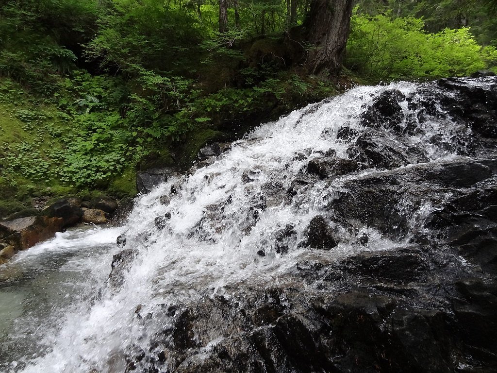
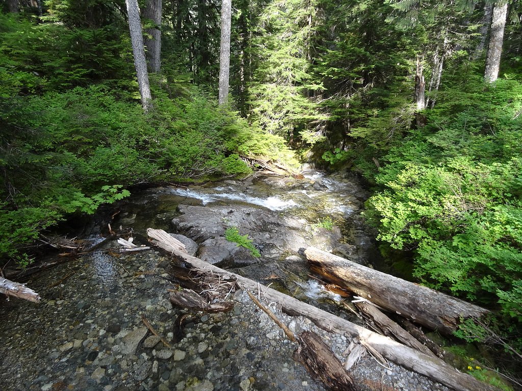
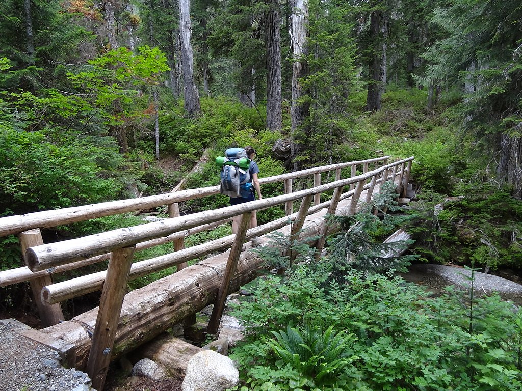
Photo Credits (5)
Difficulty
Moderate
Trail Length
2.4 miles
Trail Type
Out And Back
Elevation Gain
350 ft
About Alpine Falls
Alpine Falls is a compact, photogenic 25-foot cascade tucked into the forested slopes of Washington’s Cascade Range. A popular stop for travelers and day-hikers, the falls sit within the Snoqualmie National Forest and are managed by the U.S. Forest Service, offering a quick, scenic reward framed by mature evergreens and moss-covered rock. Access to the falls is straightforward: the U.S. Forest Service lists the Deception Falls Trail (Trail #1078) as the official access route. That trail includes a very short paved approach to a viewing area, while a longer outing in the same vicinity is a 2.4-mile out-and-back route with about 350 feet of elevation gain and a moderate difficulty rating for hikers wanting more time on the trail.
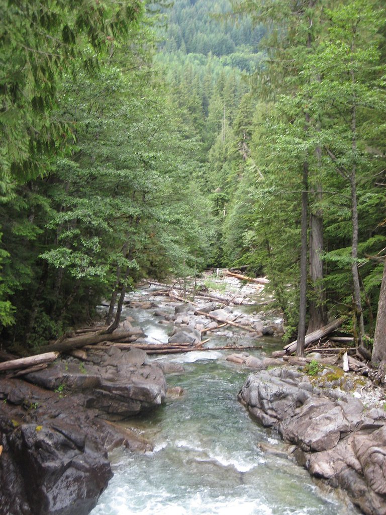
The Setting
Alpine Falls sits at 1,394 feet within Snoqualmie National Forest, fed by the South Fork Skykomish River, in the foothills of Washington. The falls drop 25 feet.
Height: 25 feet
Trail & Hike Details
The Approach
The moderate hike follows Deception Falls (#1078), a 2.4-mile out and back trail over pavement. Expect 350 feet of elevation gain with grades of 12-20%. The trail is fully developed (Class 5).
USFS Trail
DECEPTION FALLS #1078
Trail Class
Fully Developed
Surface
Avg Grade
USFS Segment
0.06 miTrail Description
The immediate access to Alpine Falls follows USFS Deception Falls Trail #1078 and includes a short paved segment (surface: AC - ASPHALT) recorded at approximately 0.06 GIS miles. The USFS notes a typical grade of 12–20% for this segment and assigns a trail class of 5 for the listed section. Beyond the short paved approach, the broader route to explore the area is a 2.4-mile out-and-back trail with roughly 350 feet of elevation gain. Overall difficulty is rated moderate; the falls themselves drop about 25 feet and are reached via the short paved viewing stretch, while the full 2.4-mile hike provides additional trail time and elevation for hikers seeking a longer outing.
What to Expect
The falls drop a gentle 25 feet. Dogs are welcome.
Accessibility
The trail is paved and may be accessible to wheelchairs and strollers. Contact the managing agency to confirm current conditions.
Frequently Asked Questions
🐶 Are Dogs Allowed at Alpine Falls?
✅ Dogs are allowed
Are There Any Fees or Permits Required?
🆖 No fees required
🏊 Is There Swimming at Alpine Falls?
❌ Swimming is not allowed
When to Visit
Spring and early summer are the best times to visit, as the waterfall is typically at its fullest due to snowmelt.
Seasonal Access
The best time to visit is Spring, Summer, and Fall. Winter access may be limited. Check with Snoqualmie National Forest for seasonal road closures.
Safety Information
The trail may be slippery near the falls due to mist and wet rocks. Exercise caution and stay on designated paths. In winter, check road conditions before traveling.
Current Water Conditions
701 ft³/s
Current discharge — how much water is flowing
Lower than usual for this time of year
Based on 9 years of record
18.11 ft
Water depth at gauge
7-Day Discharge Trend
What does this mean for your visit?
Flow is lower than usual for this time of year.
About This Gauge
This gauge is on a nearby waterway and may not reflect exact conditions at the falls.
7-Day Flow Outlook
Based on the USGS gauge SOUTH FORK SKYKOMISH RIVER AT SKYKOMISH, WA (10 km away).
Today
Barely Flowing
701 cfs
4/10Tomorrow
Low
738 cfs
3/10Sat
Low
686 cfs
4/10Sun
Low
689 cfs
4/10Mon
Low
612 cfs
4/10Tue
Low
584 cfs
4/10Wed
Low
560 cfs
4/10Best window: Today — barely flowing flow, mostly cloudy (trip score 4/10).
Best time of year: this gauge typically runs highest from mid April to late June, peaking in May.
How we calculate this
This is a transparent outlook, not a precise forecast. We take the waterfall's current flow strength (how it ranks against its historical normal for today, from the nearest USGS stream gauge), carry that ranking forward along the gauge's seasonal curve, and nudge it for forecast rain. Confidence is highest for the next day or two and falls further out. Always check official conditions and your own judgment before visiting — high flows can be dangerous.
Know when to go.
Get a free email alert when waterfalls near Skykomish hit peak flow. We only send when conditions are worth the trip — no weekly newsletters, no spam.
Weather Forecast
Location & Access
Getting There
Alpine Falls is located off Highway 2 near Stevens Pass. From the highway, there is a short access road leading to a small parking area near the falls.
Get Directions on Google MapsParking
There is a small parking area near the falls, but it may fill up quickly during peak seasons.
Hours
Elevation
1,394 feet above sea level
Coordinates
47.717054° N, -121.225934° W
Land Management
Managed by USFS
Visitor Tips & Gear
Visit early in the day to avoid crowds, especially during summer weekends. Wear sturdy shoes as the trail may be wet or muddy near the falls.
As an Amazon Associate, we earn from qualifying purchases.
With 2.4 miles and 350 ft of elevation gain, sturdy boots and trekking poles will help on this moderate trail. Sun exposure on the trail makes good sun protection a must in summer.

Polarized Sunglasses (Knockaround)
Cuts glare off the water so you actually see the falls — and your photos turn out better too.

Columbia Watertight II Rain Jacket
Packs into its own pocket, seam-sealed, and keeps you dry from spray and surprise rain.

Earth Pak Waterproof Dry Bag
Keeps your phone and gear dry when waterfall mist soaks everything else.

Waterproof Phone Pouch (AiRunTech)
Cheap insurance — take photos right next to the falls without killing your phone.

Timberland Euro Sprint Mid Waterproof
Trusted waterproof boot with premium leather and grippy rubber sole — reliable on rocky, wet trails.

TrailBuddy Trekking Poles
Lightweight aluminum, cork grips, and flip-locks that actually hold — a best-seller for good reason.
Where to Stay

Luxury A-Frame with Hot Tub, Fireplace & Firepit

Beaver Valley Lodge

FairBridge Inn & Suites Leavenworth

Enzian Inn
Browse vacation cabins and private rentals nearby
Unique outdoor stays — tents, yurts, and treehouses
Rent a campervan or RV for your waterfall road trip
Some links are affiliate links. We may earn a commission at no extra cost to you.
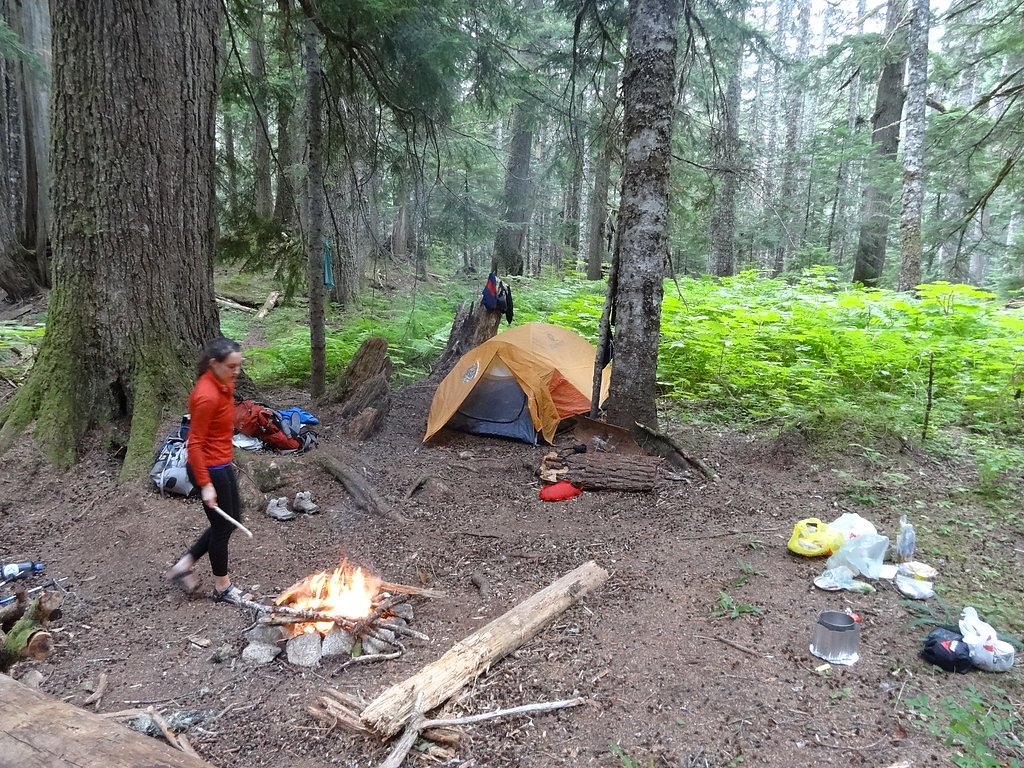
Nearby Campground
Money Creek Campground
8.5 miles away · 24 sites
Overview Situated on the banks of the South Fork Skykomish River in Mt. Baker-Snoqualmie National Forest, Money Creek campground offers some of the most stunning scenery in the northern Cascade Range in Washington. Scattered beneath a towering canopy of old-growth forest, the sites in this campground are widely spaced and several are at the river's edge, making it an ideal setting for visitors wanting to camp in a private, rustic setting.Recreation In addition to being a prime location for hiking
Book on Recreation.govNearby Hot Springs
Hot springs near Skykomish, Washington
Scenic Hot Springs
Scenic Hot Springs delivers genuinely hot water at 122 degrees Fahrenheit at 2,246 feet elevation in the Cascade Mountains near...
Garland Mineral Springs
Garland Mineral Springs flows at 84 degrees in the Snoqualmie National Forest, producing water 39.6 degrees above ambient tempe...
Goldmeyer Hot Springs
Goldmeyer Hot Springs emerges at 127 degrees in the central Cascades, producing water 78.9 degrees above ambient temperature at...
Kennedy Hot Spring
Kennedy Hot Spring flows at 100 degrees at 3,520 feet elevation in the Mt. Baker National Forest, emerging 58.7 degrees above a...
Gamma Hot Springs
Gamma Hot Springs produces 140-degree water at 5,397 feet elevation in the Mt. Baker National Forest, emerging 104.6 degrees ab...
Sulphur Creek Hot Springs
Sulphur Creek Hot Springs flows at 99 degrees Fahrenheit at 2,973 feet elevation in Mount Baker National Forest's remote backco...
Looking for a soak after your hike? Explore more hot springs near Skykomish, Washington on SoakingSprings.
Explore Washington springsAdditional Information
Nearby Attractions
Deception Falls, Stevens Pass Ski Area, and Lake Wenatchee State Park are nearby attractions worth visiting.
Wildlife
The area is home to birds, squirrels, and other small forest animals. Keep an eye out for wildlife but maintain a safe distance.
Cities near Alpine Falls
Nearby Waterfalls
Other waterfalls named Alpine Falls
1 other waterfall shares this name across the U.S.
Writing about Alpine Falls? Embed this waterfall on your site for free.