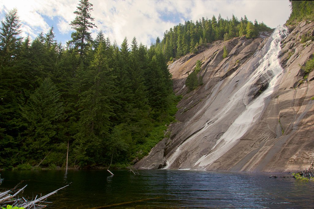
Malachite Falls
By Armen Suny · Last verified May 2026
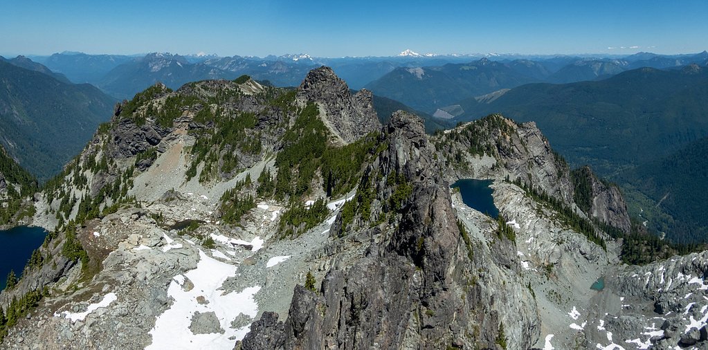
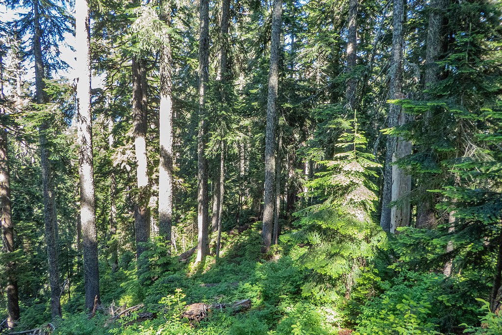
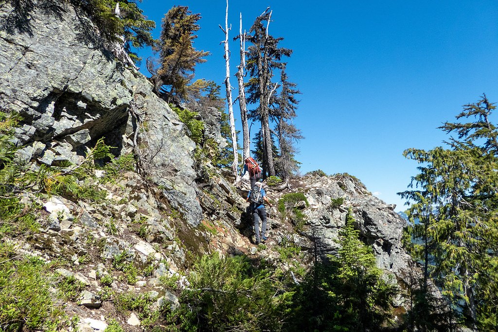
Photo Credits (4)
Difficulty
Hard
Trail Length
8.0 miles
Trail Type
Out And Back
Elevation Gain
2 ft
About Malachite Falls
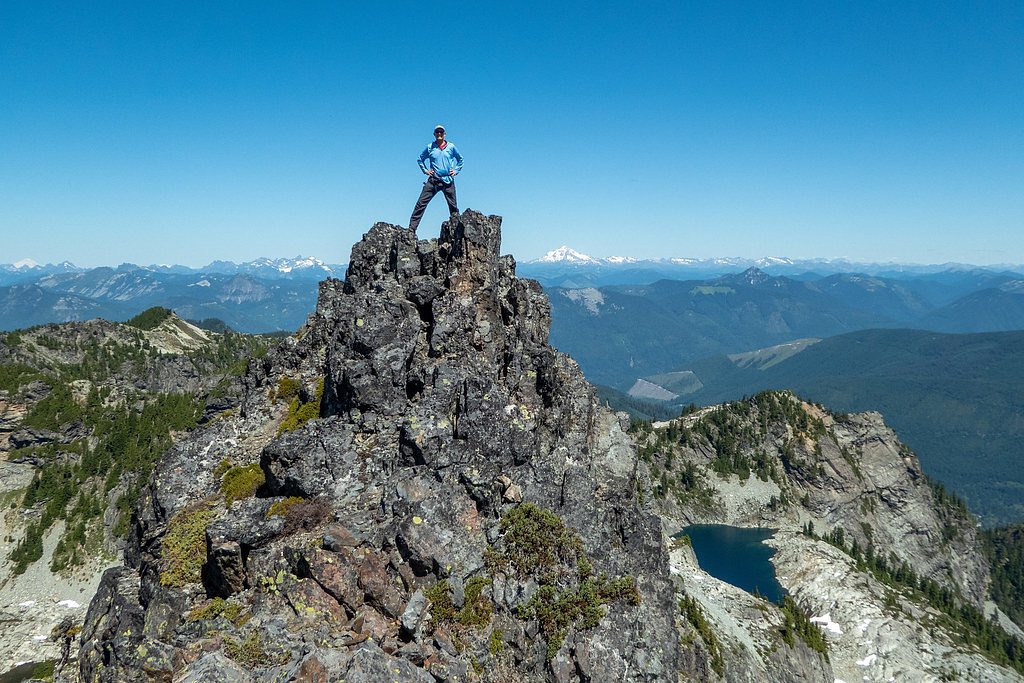
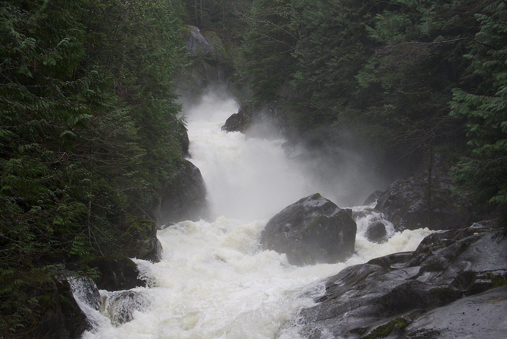
Malachite Falls is a stunning waterfall located in the Alpine Lakes Wilderness of Washington. It cascades down a rugged cliff face near Malachite Lake, offering a picturesque view for hikers who venture into this remote area. The falls are fed by snowmelt and are most impressive during the spring and early summer months.
The Setting
Malachite Falls sits at 3,967 feet within Snoqualmie National Forest, fed by the South Fork Skykomish River, in the mountains of Washington.
Trail & Hike Details
The Approach
The hard hike follows Malachite Lake (#1064.1), a 8.0-mile out-and-back trail over natural surface. Expect 2 feet of elevation gain with grades of 20-30%. The trail is moderately developed (Class 2).
USFS Trail
MALACHITE LAKE #1064.1
Trail Class
Moderately Developed
Surface
Avg Grade
USFS Segment
0.16 miTrail Description
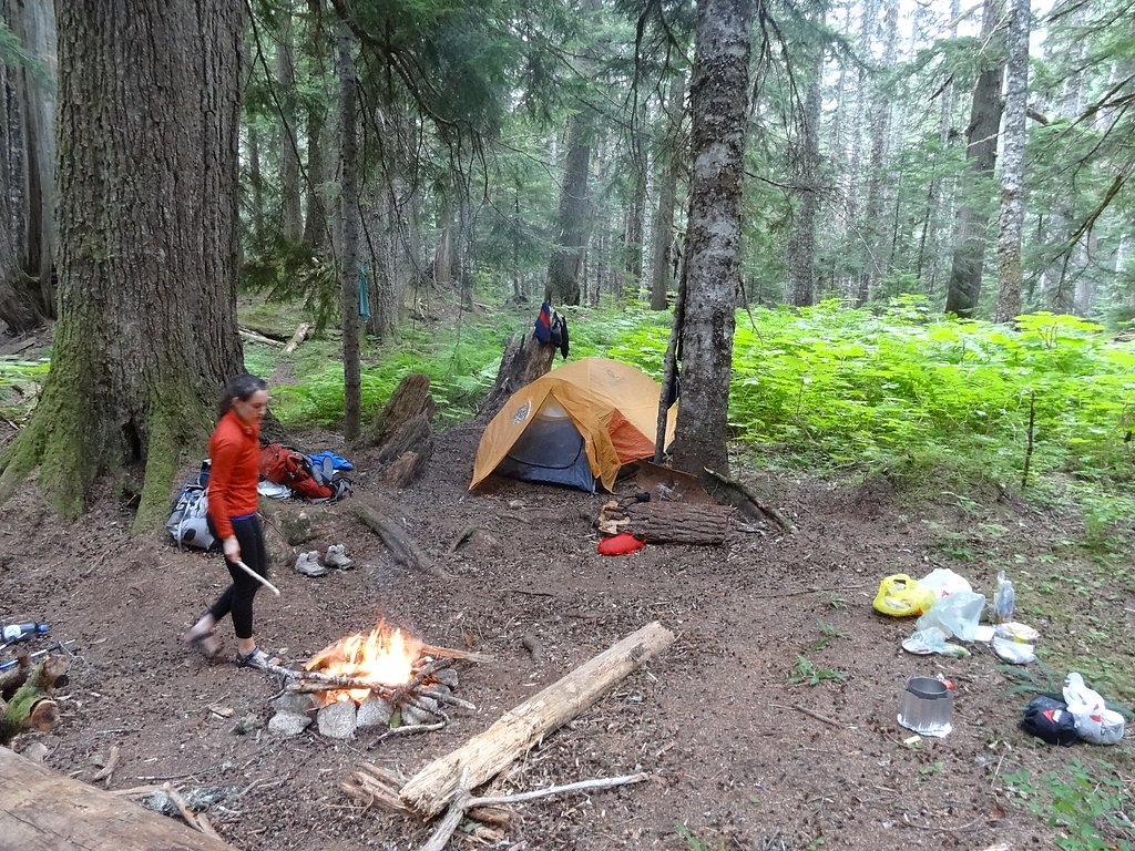
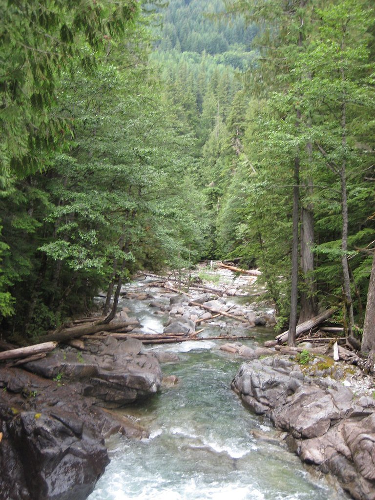
The trail to Malachite Falls follows the West Fork Foss Lakes Trail, which is known for its steep and challenging terrain. Hikers will pass through dense forest, cross streams, and encounter rocky sections. The trail offers views of other waterfalls and lakes along the way, including Trout Lake and Copper Lake. Malachite Falls is located near Malachite Lake, requiring a short detour from the main trail.
What to Expect
Dogs are welcome.
Accessibility
The trail involves steep, uneven terrain with significant elevation change and is not accessible to mobility devices.
Frequently Asked Questions
🐶 Are Dogs Allowed at Malachite Falls?
✅ Dogs are allowed
Are There Any Fees or Permits Required?
🤑 Fee: $5.00
Permit required
A Northwest Forest Pass or America the Beautiful Pass is required for parking at the trailhead.
🏊 Is There Swimming at Malachite Falls?
❌ Swimming is not allowed
When to Visit
The best time to visit Malachite Falls is late spring through early summer when the water flow is strongest and the trail is more accessible. Fall is also a great time to visit for cooler temperatures and vibrant foliage.
Seasonal Access
The best time to visit is Spring, Summer, and Fall. Winter access may be limited. Check with Snoqualmie National Forest for seasonal road closures.
Safety Information
The trail can be challenging and is not recommended for inexperienced hikers. Be prepared for steep sections, stream crossings, and potential wildlife encounters. Always check trail conditions before heading out, and carry the Ten Essentials.
Current Water Conditions
687 ft³/s
Current discharge — how much water is flowing
Lower than usual for this time of year
Based on 9 years of record
18.09 ft
Water depth at gauge
7-Day Discharge Trend
What does this mean for your visit?
Flow is lower than usual for this time of year.
About This Gauge
This gauge is on a nearby waterway and may not reflect exact conditions at the falls.
7-Day Flow Outlook
Based on the USGS gauge SOUTH FORK SKYKOMISH RIVER AT SKYKOMISH, WA (12 km away).
Today
Barely Flowing
687 cfs
4/10Tomorrow
Low
723 cfs
3/10Sat
Low
673 cfs
4/10Sun
Low
675 cfs
4/10Mon
Low
600 cfs
4/10Tue
Low
572 cfs
4/10Wed
Low
549 cfs
4/10Best window: Today — barely flowing flow, mostly cloudy (trip score 4/10).
Best time of year: this gauge typically runs highest from mid April to late June, peaking in May.
How we calculate this
This is a transparent outlook, not a precise forecast. We take the waterfall's current flow strength (how it ranks against its historical normal for today, from the nearest USGS stream gauge), carry that ranking forward along the gauge's seasonal curve, and nudge it for forecast rain. Confidence is highest for the next day or two and falls further out. Always check official conditions and your own judgment before visiting — high flows can be dangerous.
Know when to go.
Get a free email alert when waterfalls near Skykomish hit peak flow. We only send when conditions are worth the trip — no weekly newsletters, no spam.
Weather Forecast
Location & Access
Getting There
Malachite Falls is accessed via the West Fork Foss Lakes Trail, which begins at the West Fork Foss River Trailhead. The trailhead is located off Foss River Road (Forest Road 6835), near Skykomish, Washington.
Get Directions on Google MapsParking
Parking is available at the West Fork Foss River Trailhead. The lot may fill up quickly during peak hiking seasons, so arriving early is recommended.
Elevation
3,967 feet above sea level
Coordinates
47.607333° N, -121.328987° W
Land Management
Managed by USFS
Visitor Tips & Gear
Wear sturdy hiking boots and bring trekking poles for stability on steep and rocky sections. Start early to avoid crowds and ensure you have enough daylight for the hike. Be prepared for changing weather conditions, as the area can be unpredictable.
As an Amazon Associate, we earn from qualifying purchases.
This challenging 8.0 miles trail gains 2 ft in elevation — come prepared with proper hiking boots and trekking poles. Sun exposure on the trail makes good sun protection a must in summer.

Sawyer Squeeze Water Filter
The backcountry standard — filters 99.9% of bacteria and weighs just 3 oz.

Polarized Sunglasses (Knockaround)
Cuts glare off the water so you actually see the falls — and your photos turn out better too.

Columbia Watertight II Rain Jacket
Packs into its own pocket, seam-sealed, and keeps you dry from spray and surprise rain.

Earth Pak Waterproof Dry Bag
Keeps your phone and gear dry when waterfall mist soaks everything else.

Waterproof Phone Pouch (AiRunTech)
Cheap insurance — take photos right next to the falls without killing your phone.

Timberland Euro Sprint Mid Waterproof
Trusted waterproof boot with premium leather and grippy rubber sole — reliable on rocky, wet trails.
Where to Stay

Snoqualmie Inn by Hotel America

Moon River Suites #5

Luxury A-Frame with Hot Tub, Fireplace & Firepit

Moon River Suites #3
Browse vacation cabins and private rentals nearby
Unique outdoor stays — tents, yurts, and treehouses
Rent a campervan or RV for your waterfall road trip
Some links are affiliate links. We may earn a commission at no extra cost to you.
Nearby Campground
Money Creek Campground
9.2 miles away · 24 sites
Overview Situated on the banks of the South Fork Skykomish River in Mt. Baker-Snoqualmie National Forest, Money Creek campground offers some of the most stunning scenery in the northern Cascade Range in Washington. Scattered beneath a towering canopy of old-growth forest, the sites in this campground are widely spaced and several are at the river's edge, making it an ideal setting for visitors wanting to camp in a private, rustic setting.Recreation In addition to being a prime location for hiking
Book on Recreation.govNearby Hot Springs
Hot springs near Skykomish, Washington
Goldmeyer Hot Springs
Goldmeyer Hot Springs emerges at 127 degrees in the central Cascades, producing water 78.9 degrees above ambient temperature at...
Scenic Hot Springs
Scenic Hot Springs delivers genuinely hot water at 122 degrees Fahrenheit at 2,246 feet elevation in the Cascade Mountains near...
Garland Mineral Springs
Garland Mineral Springs flows at 84 degrees in the Snoqualmie National Forest, producing water 39.6 degrees above ambient tempe...
Lester Hot Springs
This 120-degree spring sits within the City of Tacoma Watershed at 1,582 feet elevation, emerging 72.3 degrees above ambient in...
Kennedy Hot Spring
Kennedy Hot Spring flows at 100 degrees at 3,520 feet elevation in the Mt. Baker National Forest, emerging 58.7 degrees above a...
Gamma Hot Springs
Gamma Hot Springs produces 140-degree water at 5,397 feet elevation in the Mt. Baker National Forest, emerging 104.6 degrees ab...
Looking for a soak after your hike? Explore more hot springs near Skykomish, Washington on SoakingSprings.
Explore Washington springsAdditional Information
Nearby Attractions
Nearby attractions include Trout Lake, Copper Lake, and Big Heart Lake, all accessible via the West Fork Foss Lakes Trail.
Wildlife
The area is home to a variety of wildlife, including deer, black bears, and birds. Be cautious and carry bear spray if hiking during active bear seasons.
Cities near Malachite Falls
Nearby Waterfalls
Writing about Malachite Falls? Embed this waterfall on your site for free.