Waterfall Hikes Near Calipatria, CA
within 50 miles
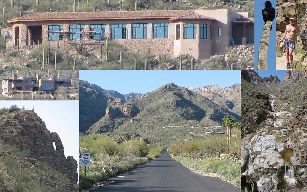
Looking for the best waterfalls to hike near Calipatria? There are 3 waterfall hiking trails within a 50-mile radius of Calipatria. These trails range from moderate to moderate difficulty, providing options for both casual hikers and experienced adventurers looking to explore the region's natural beauty.
Map of Waterfalls Near Calipatria
Today's Conditions
Live data from USGS gauges & National Weather Service
Water Flow
1 of 3 waterfalls near Calipatria is flowing strongly today
Updated about 2 hours ago via USGS
Best Day to Hike
This Afternoon
Sunny · 103°F
Know when to go.
Get a free email alert when waterfalls near Calipatria hit peak flow. We only send when conditions are worth the trip — no weekly newsletters, no spam.
Find waterfalls to hike near Calipatria
Have your own travel site? Embed these waterfalls for free.
🐕 Dog-Friendly Waterfall Hikes Around Calipatria (1 waterfall)
Bring your four-legged friend along! These waterfalls welcome dogs on their trails.
All 3 Waterfalls Near Calipatria
Frequently Asked Questions About Waterfalls Near Calipatria
Are there dog friendly waterfalls in Calipatria?
There is 1 dog-friendly waterfall near Calipatria, including Bear Canyon Falls.
Are there kid-friendly waterfalls near Calipatria?
There are 2 kid-friendly waterfalls near Calipatria, including Bear Canyon Falls.
What is the shortest waterfall hike near Calipatria?
The shortest waterfall hike near Calipatria is Bear Canyon Falls at 2.4 miles round trip.
Do any waterfalls near Calipatria require permits?
Yes, 1 waterfall near Calipatria requires a permit. Check individual trail pages for current permit details.
Can I camp near the waterfalls around Calipatria?
Yes, 3 waterfalls near Calipatria have nearby campgrounds.
What is the closest waterfall to Calipatria?
The closest waterfall to Calipatria is Carrizo Falls, approximately 40.8 miles away.
🏙️ Other Cities Near Calipatria With Waterfalls
Nearby Hot Springs
Hot springs near Calipatria, California
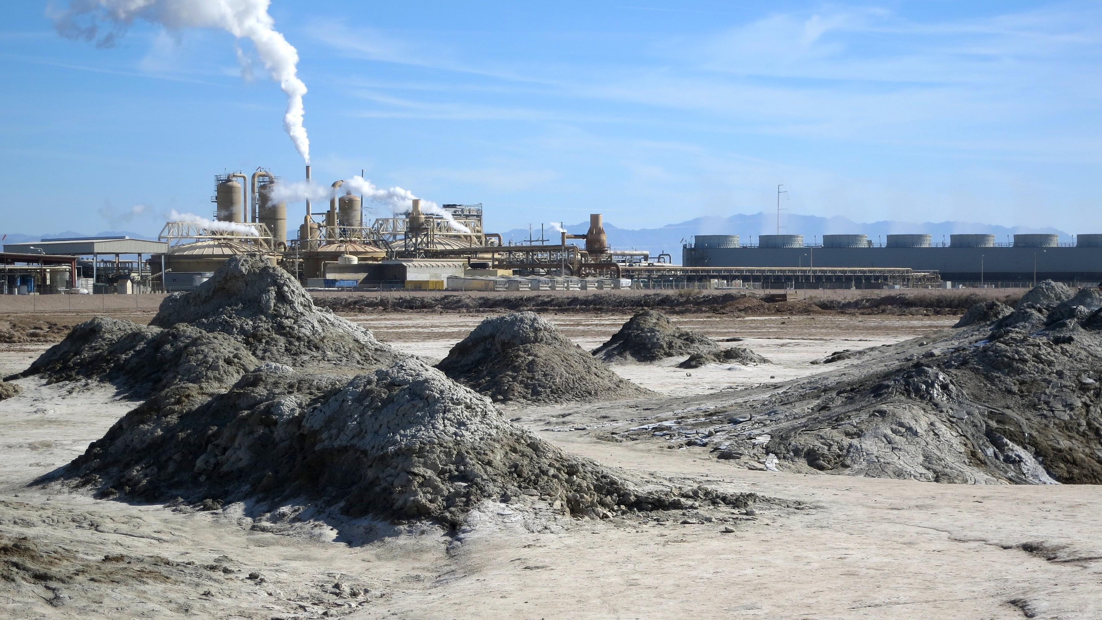
Mud Pots
The Mud Pots near Niland are among North America's most unusual geothermal features—mud of 100°F bubbling from a location 224 f...

Wister Mud Pot
Wister Mud Pot bubbles at 100 degrees Fahrenheit in Imperial County near Niland at 226 feet below sea level in the Salton Sea r...
Mud Pots
A second cluster of Mud Pots near Niland erupts at 100°F in the same hyperarid Salton Trough setting, representing a distinct t...
Mud Volcanoes
Mud Volcanoes near Niland emerge at warm temperatures 190 feet below sea level, positioned approximately 925 feet from Gillespi...
Mud Volcanoes
Mud Volcanoes near Niland emerge at warm temperatures within California's Imperial Wildlife Area, a state conservation zone 190...
Mud Volcanoes
Mud Volcanoes near Niland emerge 190 feet below sea level with warm thermal character (designation W")
Looking for a soak after your hike? Explore more hot springs near Calipatria, California on SoakingSprings.
Explore California springsWhere to Stay
Browse vacation cabins and private rentals nearby
Unique outdoor stays — tents, yurts, and treehouses
Rent a campervan or RV for your waterfall road trip
Some links are affiliate links. We may earn a commission at no extra cost to you.