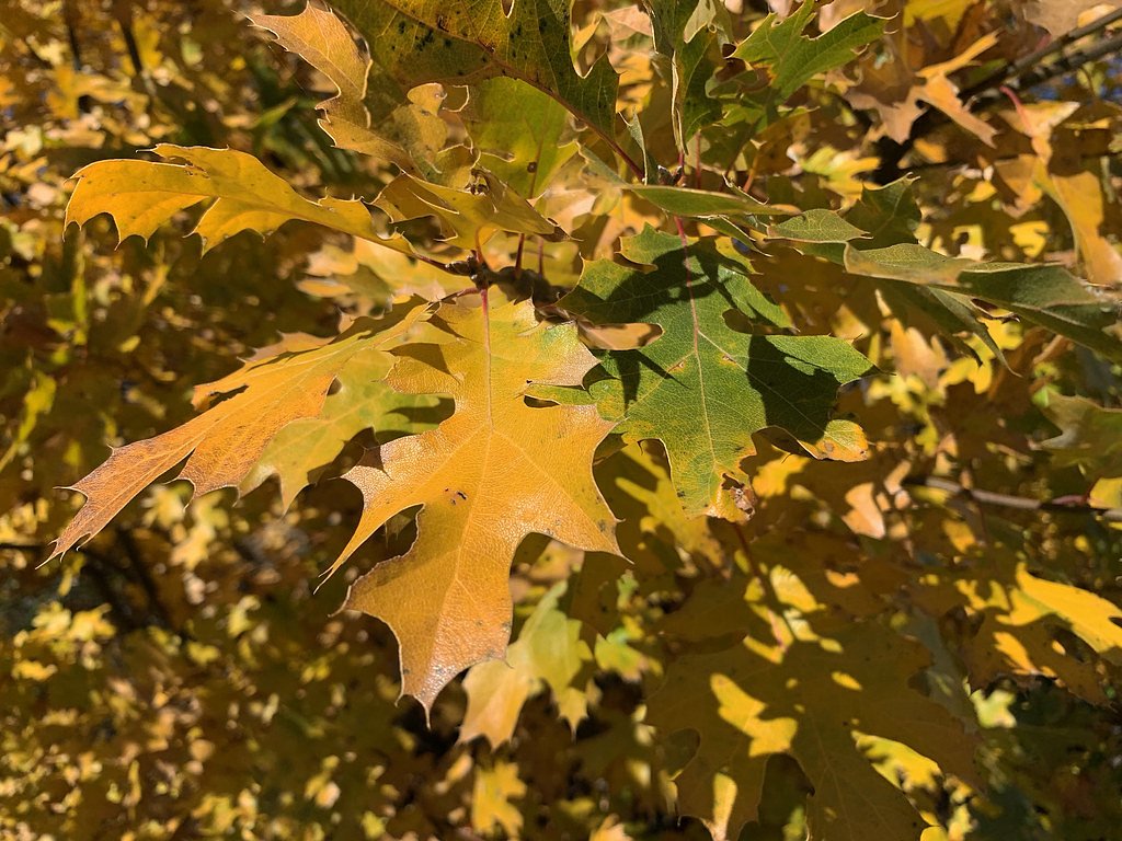
Photo Credits (5)
Difficulty
Moderate
Trail Length
4.5 miles
Trail Type
Out And Back
Elevation Gain
800 ft
About Bear Canyon Falls
Bear Canyon Falls sits on Bureau of Land Management public land in California, managed by the BLM’s El Centro Field Office (designation: PUB). The falls are a quietly scenic cascade set into a narrow canyon; flows are most impressive after seasonal rains when the run of water brings the canyon to life and highlights the surrounding scrub and riparian vegetation. Visitors come for the peaceful setting and close-up views of the falls tucked into the canyon walls. Access to the falls is a rewarding moderate hike rather than a roadside attraction. The approach follows a canyon corridor and offers a mix of shaded sections and open, sunlit rock—ideal for hikers who enjoy a bit of scrambling and stream-side scenery. Because the site is managed by the BLM, conditions can vary by season and water level, so come prepared for variable trail conditions and pack out what you pack in.
The Setting
Bear Canyon Falls sits at 338 feet within El Centro Field Office, fed by the Colorado River, in the coastal lowlands of California.
Trail & Hike Details
The Approach
The moderate 4.5-mile out-and-back trail gains 800 feet of elevation on the way to the falls.
Trail Description
Out-and-back hike, 4.5 miles round trip with approximately 800 feet of elevation gain. Difficulty: moderate. The path is primarily a dirt tread with narrow, rocky sections and occasional stream crossings; some stretches can be uneven and require careful foot placement. There is moderate elevation change spread over the route rather than sustained steep grades. No technical climbing or built trail features are required—good hiking shoes and plenty of water are recommended. (Trail type: out-and-back; managed on BLM public land by the El Centro Field Office.)
What to Expect
Dogs are welcome.
Accessibility
The trail is not wheelchair accessible. Uneven terrain and elevation changes require steady footing.
Frequently Asked Questions
🐶 Are Dogs Allowed at Bear Canyon Falls?
✅ Dogs are allowed
Are There Any Fees or Permits Required?
🤑 Fee: $0.00
Permit required
An Adventure Pass is required for parking in the Chantry Flat Recreation Area.
🏊 Is There Swimming at Bear Canyon Falls?
❌ Swimming is not allowed
When to Visit
The best time to visit Bear Canyon Falls is in the winter or early spring after seasonal rains, when the waterfall is at its fullest.
Seasonal Access
The best time to visit is Spring and Winter.
Safety Information
The trail can be slippery near the waterfall, especially after rain. Be cautious during stream crossings and avoid hiking during heavy rain or storms due to the risk of flash floods.
Current Water Conditions
80°F
WarmVery comfortable
What does this mean for your visit?
The water is a comfortable 80 degrees F, pleasant for swimming. Expect adequate dissolved oxygen levels. PH is normal at 8.2 and mineral content is elevated.
Water Quality
Dissolved Oxygen
GoodAdequate oxygen levels
pH
NormalWithin healthy range (6.5-8.5)
Conductance
Dissolved minerals in the water
About This Gauge
This gauge is on a nearby waterway and may not reflect exact conditions at the falls.
7-Day Flow Outlook
Based on the USGS gauge COLORADO RIVER ABOVE IMPERIAL DAM, AZ-CA (24 km away).
Today
Moderate
7600 cfs
8/10Tomorrow
Moderate
7719 cfs
8/10Thu
Moderate
7742 cfs
8/10Fri
Moderate
7869 cfs
8/10Sat
Moderate
7979 cfs
8/10Sun
Moderate
7845 cfs
8/10Mon
Moderate
7861 cfs
8/10Best window: Today — moderate flow, sunny (trip score 8/10).
Best time of year: this gauge typically runs highest from late March to mid May, peaking in April.
How we calculate this
This is a transparent outlook, not a precise forecast. We take the waterfall's current flow strength (how it ranks against its historical normal for today, from the nearest USGS stream gauge), carry that ranking forward along the gauge's seasonal curve, and nudge it for forecast rain. Confidence is highest for the next day or two and falls further out. Always check official conditions and your own judgment before visiting — high flows can be dangerous.
Know when to go.
Get a free email alert when waterfalls near Martinez Lake hit peak flow. We only send when conditions are worth the trip — no weekly newsletters, no spam.
Weather Forecast
Location & Access
Getting There
Bear Canyon Falls is accessed via the Bear Canyon Trail, which begins near the Chantry Flat Recreation Area. The trailhead is located off Santa Anita Canyon Road, which can be reached from Arcadia, California.
Get Directions on Google MapsParking
Parking is available at the Chantry Flat Recreation Area, but it can fill up quickly, especially on weekends. An Adventure Pass is required to park in this area.
Elevation
338 feet above sea level
Coordinates
33.015873° N, -114.670512° W
Land Management
Managed by BLM
Visitor Tips & Gear
Arrive early to secure parking, especially on weekends. Wear sturdy hiking shoes as the trail can be rocky and slippery near the waterfall. Bring plenty of water and snacks, as there are no facilities along the trail.
As an Amazon Associate, we earn from qualifying purchases.
With 4.5 miles and 800 ft of elevation gain, sturdy boots and trekking poles will help on this moderate trail. Icy conditions are common in winter — traction cleats are a smart addition.

Columbia Watertight II Rain Jacket
Packs into its own pocket, seam-sealed, and keeps you dry from spray and surprise rain.

Earth Pak Waterproof Dry Bag
Keeps your phone and gear dry when waterfall mist soaks everything else.

Waterproof Phone Pouch (AiRunTech)
Cheap insurance — take photos right next to the falls without killing your phone.

Timberland Euro Sprint Mid Waterproof
Trusted waterproof boot with premium leather and grippy rubber sole — reliable on rocky, wet trails.

TrailBuddy Trekking Poles
Lightweight aluminum, cork grips, and flip-locks that actually hold — a best-seller for good reason.

Kahtoola MICROspikes
Cult-favorite traction cleats that grip ice and wet rock — essential for winter waterfall hikes.
Where to Stay

Wingate by Wyndham Yuma

California Comfort & Suites

Super 8 by Wyndham Yuma

Motel 6-Yuma, AZ - East
Browse vacation cabins and private rentals nearby
Unique outdoor stays — tents, yurts, and treehouses
Rent a campervan or RV for your waterfall road trip
Some links are affiliate links. We may earn a commission at no extra cost to you.
Nearby Campground
Senator Wash North Shore
12.5 miles away · 0 sites
The Senator Wash North Shore recreational area is approximately 60 acres in size. There are many trees of various types and several secluded camping areas both on the water and further inland. Gravel beaches provide access to the reservoir. A dump station is available at nearby at South Mesa but requires a fee from September 15 through April 15. Boat ramp available nearby and small watercraft can be launched from shore.
Book on Recreation.govNearby Hot Springs
Hot springs near Martinez Lake, California
Wiley's Well
Wiley's Well represents a natural artesian spring in the Colorado Desert of Riverside County at just 582 feet elevation west of...
Radium Hot Springs
Radium Hot Springs emerges at an impressive 140°F in the Gila Valley near Wellton, ranking among Arizona's hottest thermal feat...
Mccoy Spring
McCoy Spring flows at 82°F in the remote Colorado Desert, requiring a demanding 5.8-mile backcountry hike to reach. The modest ...

Corn Spring
Corn Spring emerges at 72°F from a desert canyon deep in the Chuckwalla Mountains, sustaining an oasis that has attracted life ...
Looking for a soak after your hike? Explore more hot springs near Martinez Lake, California on SoakingSprings.
Explore California springsAdditional Information
Nearby Attractions
Nearby attractions include Sturtevant Falls, Chantry Flat Recreation Area, and the Gabrielino Trail.
Wildlife
The area is home to various wildlife, including birds, squirrels, and occasionally deer. Be cautious of snakes, especially in warmer months.
Cities near Bear Canyon Falls
Nearby Waterfalls
Writing about Bear Canyon Falls? Embed this waterfall on your site for free.