Photo Credits (5)
Difficulty
Moderate
Trail Length
2.4 miles
Trail Type
Out And Back
Elevation Gain
350 ft
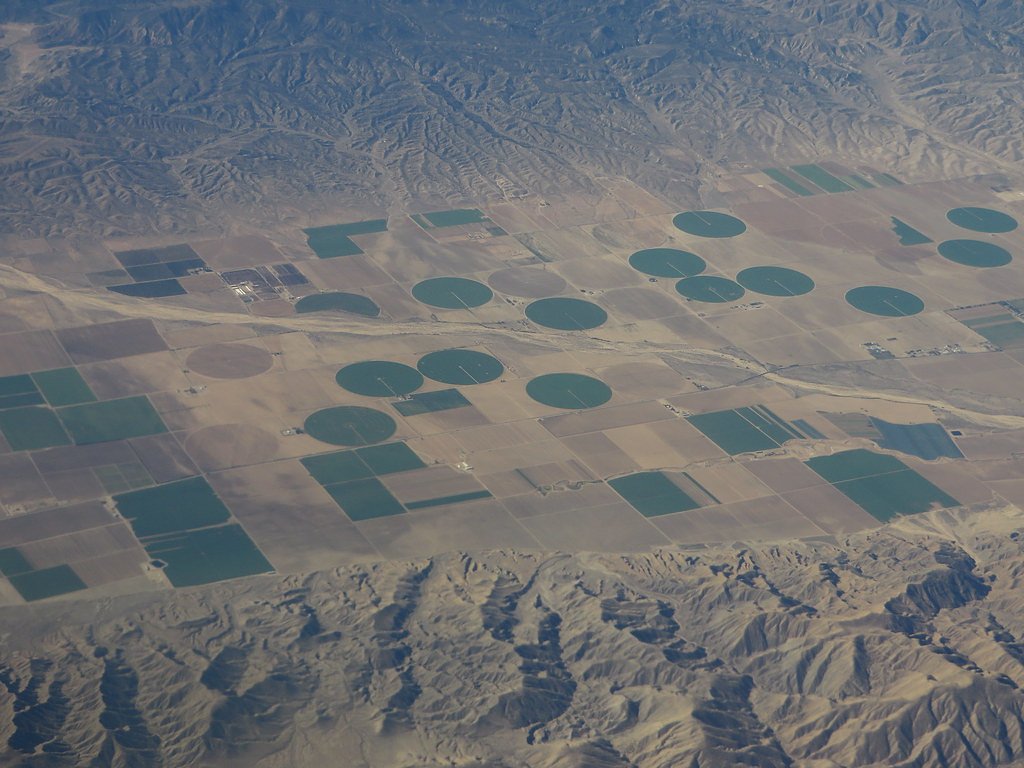
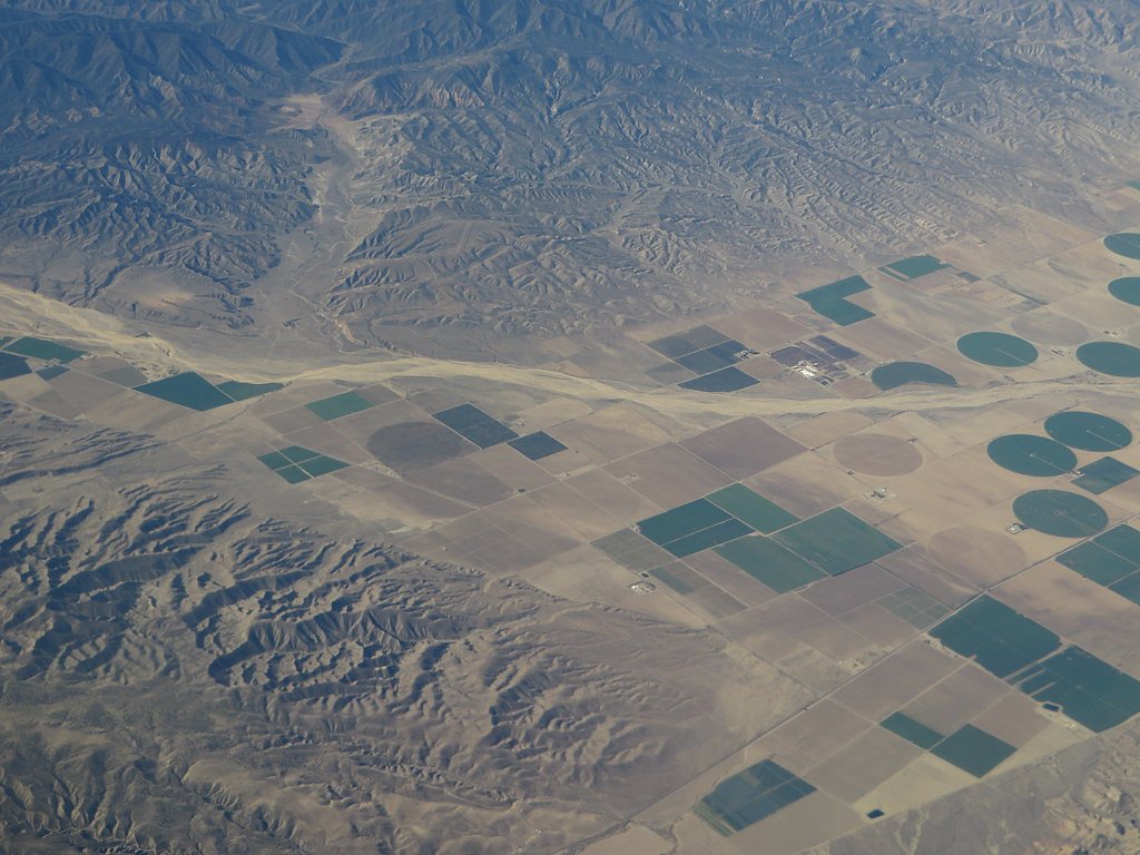
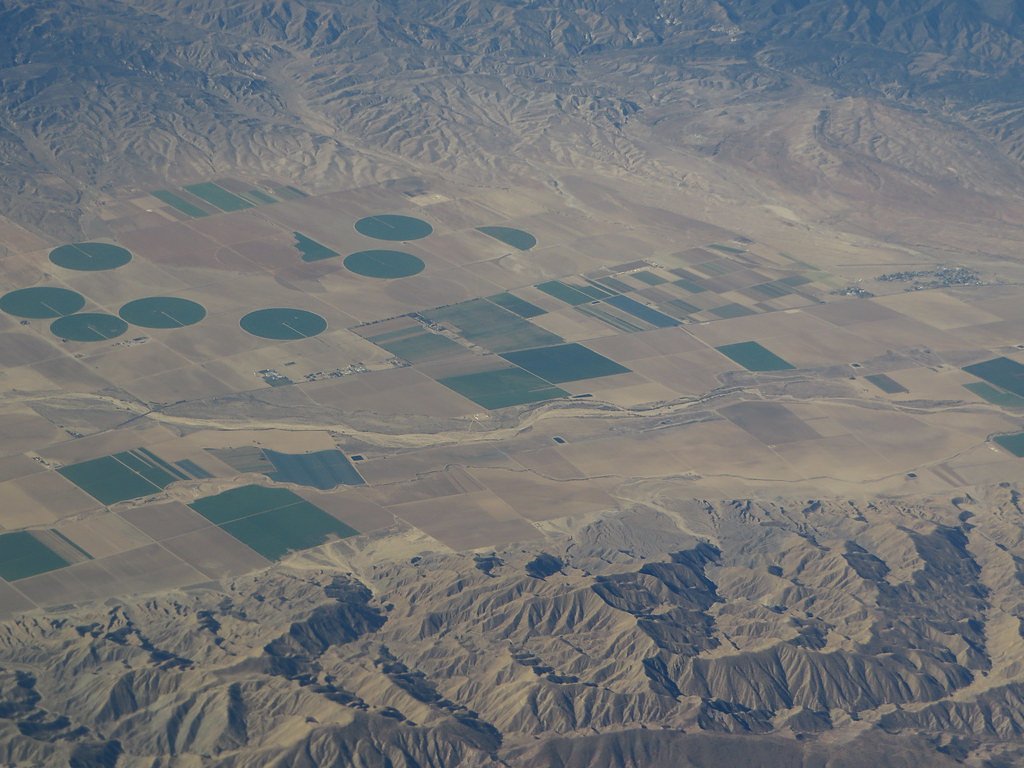
About Carrizo Falls
Carrizo Falls is a seasonal cascade tucked inside the Carrizo Plain National Monument on Bureau of Land Management property managed by the El Centro Field Office. The falls are most dramatic in the wetter months—typically winter and early spring—when storms feed the ephemeral stream. Because flows are dependent on rainfall, visits shortly after a good storm offer the best chance to see running water and the surrounding landscape in bloom. The approach is rewarding for hikers who prefer solitude over developed overlooks: the access is an approximately 2.4-mile out-and-back route with about 350 feet of elevation gain and is rated moderate. The route is unmaintained and unmarked, so you should be prepared for off-trail travel, route-finding, and variable footing. As this is BLM-managed public land (designation: PUB), practice Leave No Trace and check local BLM notices before heading out.
The Setting
Carrizo Falls sits at 318 feet within El Centro Field Office, in the coastal lowlands of California.
Trail & Hike Details
The Approach
The moderate 2.4-mile out-and-back trail gains 350 feet of elevation on the way to the falls.
Trail Description
Approximately 2.4 miles out-and-back with roughly 350 feet of elevation gain; difficulty: moderate. The route is not an official, maintained trail—surface conditions are primitive where a tread exists, but much of the hike requires cross-country travel through brush, uneven ground, and possible stream crossings after rains. Grade is variable with occasional short steeper pitches; the route is non-technical but demands good navigation, sturdy footwear, and preparedness for remote conditions on BLM land managed by the El Centro Field Office.
What to Expect
Carrizo Falls is a seasonal waterfall that may only flow during or shortly after significant rainfall. Visitors can expect a remote and rugged experience with limited amenities. The surrounding area features unique geological formations and wildflower blooms in the spring.
Accessibility
The trail is not wheelchair accessible. Uneven terrain and elevation changes require steady footing.
Frequently Asked Questions
🐶 Are Dogs Allowed at Carrizo Falls?
❌ Dogs are not allowed
Are There Any Fees or Permits Required?
🆖 No fees required
🏊 Is There Swimming at Carrizo Falls?
❌ Swimming is not allowed
When to Visit
The best time to visit Carrizo Falls is during the winter and early spring, after significant rainfall, when the waterfall is most likely to be flowing.
Seasonal Access
The best time to visit is Spring and Winter.
Safety Information
Visitors should be cautious of slippery rocks near the waterfall, potential flash flooding during rain, and the remote nature of the area. Cell phone service is limited, so plan accordingly.
Current Water Conditions
Based on a USGS gauge 15.7 miles away
1 ft³/s
Current discharge — how much water is flowing
Lower than usual for this time of year
Based on 57 years of record
1.18 ft
Water depth at gauge
7-Day Discharge Trend
What does this mean for your visit?
Flow is lower than usual for this time of year.
About This Gauge
This gauge is on a regional waterway. Conditions at the falls may differ, especially after local rain.
7-Day Flow Outlook
Based on the USGS gauge YAQUI CANAL NEAR YUMA, AZ (25 km away).
Today
Barely Flowing
1 cfs
5/10Tomorrow
Barely Flowing
1 cfs
5/10Wed
Barely Flowing
1 cfs
5/10Thu
Barely Flowing
1 cfs
5/10Fri
Barely Flowing
1 cfs
5/10Sat
Barely Flowing
1 cfs
5/10Sun
Barely Flowing
1 cfs
5/10Best window: Today — barely flowing flow, sunny (trip score 5/10).
Best time of year: this gauge typically runs highest from early April to early May, peaking in April.
How we calculate this
This is a transparent outlook, not a precise forecast. We take the waterfall's current flow strength (how it ranks against its historical normal for today, from the nearest USGS stream gauge), carry that ranking forward along the gauge's seasonal curve, and nudge it for forecast rain. Confidence is highest for the next day or two and falls further out. Always check official conditions and your own judgment before visiting — high flows can be dangerous.
Know when to go.
Get a free email alert when waterfalls near Martinez Lake hit peak flow. We only send when conditions are worth the trip — no weekly newsletters, no spam.
Weather Forecast
Location & Access
Getting There
Carrizo Falls is located within the Carrizo Plain National Monument, approximately 50 miles west of Bakersfield, California. Access to the falls requires navigating dirt roads, which may become impassable during wet weather. The exact trailhead and route to the falls are not well-marked, and visitors should be prepared for off-trail navigation.
Get Directions on Google MapsParking
Parking is limited and may involve roadside parking near the general area of the falls. Visitors should ensure they are not blocking access roads.
Elevation
318 feet above sea level
Coordinates
33.020873° N, -114.688846° W
Land Management
Managed by BLM
Visitor Tips & Gear
Check weather conditions before visiting, as dirt roads in the area can become impassable after rain. Bring a detailed map or GPS device, as the trail is not well-marked. Carry plenty of water and be prepared for a lack of shade.
As an Amazon Associate, we earn from qualifying purchases.
With 2.4 miles and 350 ft of elevation gain, sturdy boots and trekking poles will help on this moderate trail. Icy conditions are common in winter — traction cleats are a smart addition.

Columbia Watertight II Rain Jacket
Packs into its own pocket, seam-sealed, and keeps you dry from spray and surprise rain.

Earth Pak Waterproof Dry Bag
Keeps your phone and gear dry when waterfall mist soaks everything else.

Waterproof Phone Pouch (AiRunTech)
Cheap insurance — take photos right next to the falls without killing your phone.

Timberland Euro Sprint Mid Waterproof
Trusted waterproof boot with premium leather and grippy rubber sole — reliable on rocky, wet trails.

TrailBuddy Trekking Poles
Lightweight aluminum, cork grips, and flip-locks that actually hold — a best-seller for good reason.

Kahtoola MICROspikes
Cult-favorite traction cleats that grip ice and wet rock — essential for winter waterfall hikes.
Where to Stay

Wingate by Wyndham Yuma

California Comfort & Suites

Super 8 by Wyndham Yuma

Motel 6-Yuma, AZ - East
Browse vacation cabins and private rentals nearby
Unique outdoor stays — tents, yurts, and treehouses
Rent a campervan or RV for your waterfall road trip
Some links are affiliate links. We may earn a commission at no extra cost to you.
Nearby Campground
Senator Wash North Shore
13.6 miles away · 0 sites
The Senator Wash North Shore recreational area is approximately 60 acres in size. There are many trees of various types and several secluded camping areas both on the water and further inland. Gravel beaches provide access to the reservoir. A dump station is available at nearby at South Mesa but requires a fee from September 15 through April 15. Boat ramp available nearby and small watercraft can be launched from shore.
Book on Recreation.govNearby Hot Springs
Hot springs near Martinez Lake, California
Wiley's Well
Wiley's Well represents a natural artesian spring in the Colorado Desert of Riverside County at just 582 feet elevation west of...
Radium Hot Springs
Radium Hot Springs emerges at an impressive 140°F in the Gila Valley near Wellton, ranking among Arizona's hottest thermal feat...
Mccoy Spring
McCoy Spring flows at 82°F in the remote Colorado Desert, requiring a demanding 5.8-mile backcountry hike to reach. The modest ...

Corn Spring
Corn Spring emerges at 72°F from a desert canyon deep in the Chuckwalla Mountains, sustaining an oasis that has attracted life ...
Looking for a soak after your hike? Explore more hot springs near Martinez Lake, California on SoakingSprings.
Explore California springsAdditional Information
Nearby Attractions
Nearby attractions include Soda Lake, Painted Rock, and the vast wildflower fields of the Carrizo Plain during spring.
Wildlife
The area is home to a variety of wildlife, including pronghorn antelope, tule elk, and numerous bird species. Visitors should also be aware of potential encounters with snakes.
Cities near Carrizo Falls
Nearby Waterfalls
Writing about Carrizo Falls? Embed this waterfall on your site for free.