Waterfall Hikes Near Ashburn, VA
within 50 miles
Ashburn is data center country, flat and creek-poor, so the five falls on this page all involve a drive toward the mountains. The closest worthwhile target is Cunningham Falls across the Maryland line, a 78 foot cascade reached by 0.9 miles of trail where dogs are welcome. The Cascade gives you 2.2 gentle miles. Greasy Falls climbs 300 feet over 2 miles. Spring is the season for all of these. By August most run at a trickle.
Map of Waterfalls Near Ashburn
Today's Conditions
Live data from USGS gauges & National Weather Service
Water Flow
5 waterfalls near Ashburn have live flow data today
Updated about 1 hour ago via USGS
Best Day to Hike
Saturday
Mostly Sunny · 80°F
Flowing best right now near Ashburn
Updated about 2 hours agoRanked by live stream-gauge flow versus each waterfall's seasonal normal.
Know when to go.
Get a free email alert when waterfalls near Ashburn hit peak flow. We only send when conditions are worth the trip — no weekly newsletters, no spam.
Find waterfalls to hike near Ashburn
Have your own travel site? Embed these waterfalls for free.
🚗 Easy Waterfall Hikes Near Ashburn (2 waterfalls)
Easy access waterfalls are drive-up or short-walk friendly. Perfect for families, casual visitors, or anyone who loves waterfalls but is "so-so" about hiking.
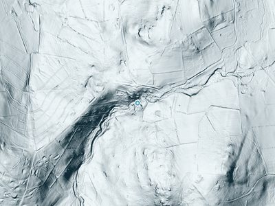 LiDAR
LiDAR
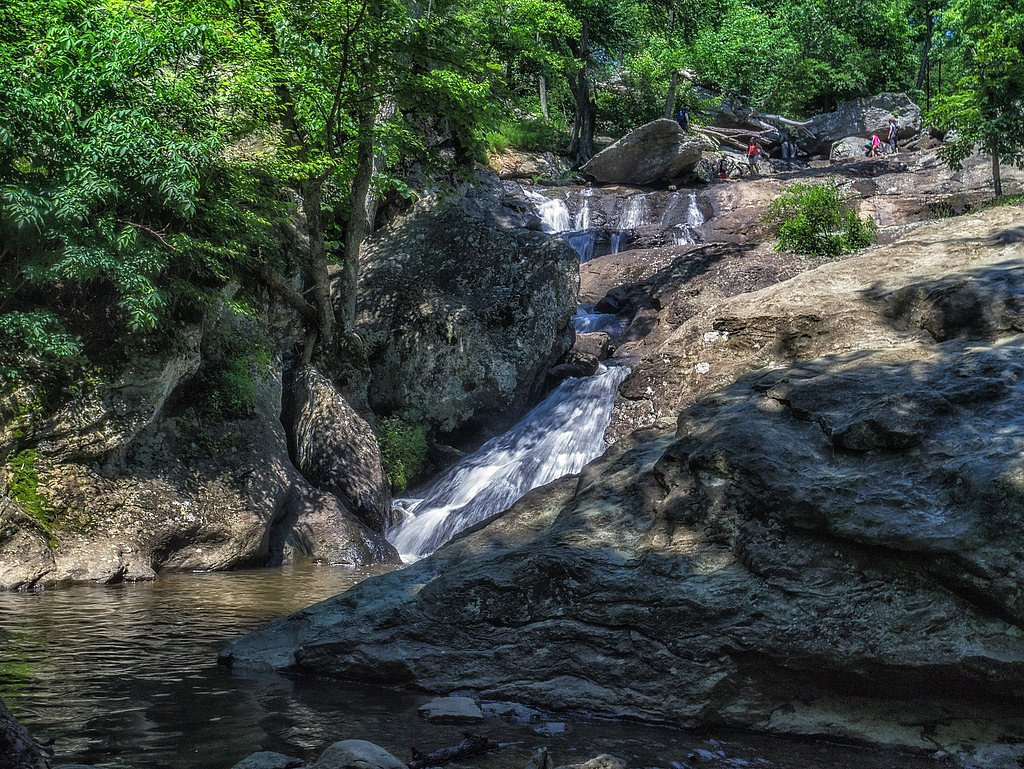
All 5 Waterfalls Near Ashburn
LiDAR
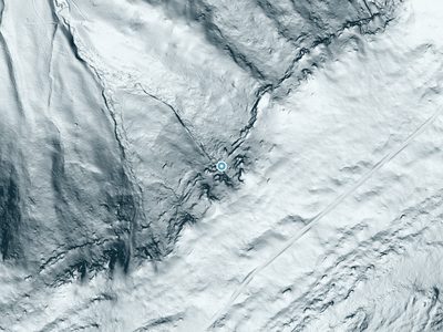 LiDAR
LiDAR
Frequently Asked Questions About Waterfalls Near Ashburn
Are there free waterfalls near Ashburn?
There is 1 free waterfall near Ashburn, including Miller Falls.
Are there easy waterfall hikes near Ashburn?
There are 2 easy waterfall hikes near Ashburn, including Cunningham Falls.
Are there dog friendly waterfalls in Ashburn?
There are 2 dog-friendly waterfalls near Ashburn, including Cunningham Falls.
Are there kid-friendly waterfalls near Ashburn?
There are 2 kid-friendly waterfalls near Ashburn, including Cunningham Falls.
What is the shortest waterfall hike near Ashburn?
The shortest waterfall hike near Ashburn is Cunningham Falls at 0.9 miles round trip.
How tall are the waterfalls near Ashburn?
The tallest waterfall near Ashburn is Cunningham Falls at 78 feet.
Can I camp near the waterfalls around Ashburn?
Yes, 5 waterfalls near Ashburn have nearby campgrounds.
What is the closest waterfall to Ashburn?
The closest waterfall to Ashburn is The Cascade, approximately 26.2 miles away.
🏙️ Other Cities Near Ashburn With Waterfalls
Nearby Hot Springs
Hot springs near Ashburn, Virginia

Swan Pond Spring
Swan Pond Spring emerges at 72°F from a low-elevation site at just 460 feet in Jefferson County, West Virginia. Located 66.9 me...

Berkeley Springs
Berkeley Springs flows at 72 degrees Fahrenheit in the historic spa town of the same name in Morgan County, West Virginia, repr...
Looking for a soak after your hike? Explore more hot springs near Ashburn, Virginia on SoakingSprings.
Explore Virginia springsWhere to Stay
Browse vacation cabins and private rentals nearby
Unique outdoor stays — tents, yurts, and treehouses
Rent a campervan or RV for your waterfall road trip
Some links are affiliate links. We may earn a commission at no extra cost to you.