Wedgemount Falls
British Columbia • Garibaldi Park • 300 m
By Armen Suny · Last verified Jun 2026
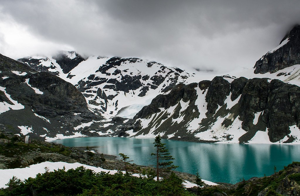
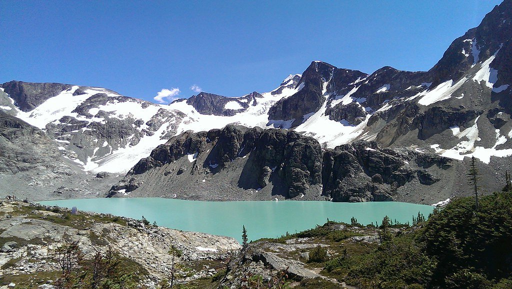
Photo Credits (3)
Difficulty
Hard
Trail Length
12.7 km
Trail Type
Out And Back
Elevation Gain
1301 m
About Wedgemount Falls
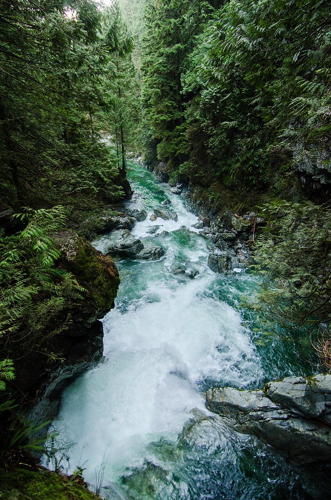
Wedgemount Falls is a mountain-fed waterfall in southwestern British Columbia near the Duffey Lake / Pemberton region. It is fed by alpine runoff and typically has its highest flows in spring and early summer during snowmelt. The falls are in a remote, mountainous setting with steep terrain and forested approaches; visitor reports suggest limited developed facilities at the site. Exact published information about trail length and official management is limited, so some details below are conservative estimates and may vary with season and access conditions.
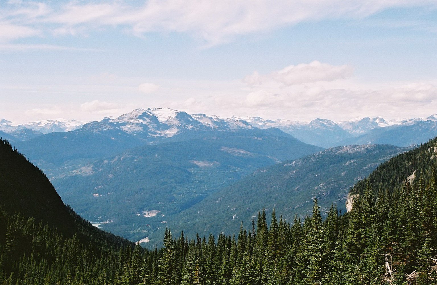
The Setting
Wedgemount Falls sits at 1,803 metres within Garibaldi Park, in the high mountains of British Columbia. At 300 metres, it is among the taller waterfalls in British Columbia.
Why This Waterfall Exists
Wedgemount Falls flows over hard intrusive rock laid down about 101-162 million years ago. These resistant rocks form a durable ledge that water cannot easily wear away, creating a 984-foot drop where softer material downstream has already eroded.
Trail & Hike Details
The Approach
The hard 12.7-km out-and-back trail gains 1,301 metres of elevation on the way to the falls.
Trail Description
There is no widely published, maintained trail description for Wedgemount Falls. Approaches reported by visitors tend to be short but steep and may include unmarked or unmaintained footpaths, scrambling over talus, and route-finding through forested sections. Surfaces can be wet, muddy, and slippery; trailhead/approach conditions are highly seasonal and may be affected by spring melt, summer runoff, or recent logging activity. If you plan to visit, allow extra time for slow, cautious travel and navigation.
What to Expect
The falls plunge a dramatic 300 metres over hard intrusive rock.
Accessibility
The trail involves steep, uneven terrain with significant elevation change and is not accessible to mobility devices.
Frequently Asked Questions
🐶 Are Dogs Allowed at Wedgemount Falls?
❌ Dogs are not allowed
Are There Any Fees or Permits Required?
🆖 No fees required
🏊 Is There Swimming at Wedgemount Falls?
❌ Swimming is not allowed
When to Visit
Late spring to early summer for the fullest flow (snowmelt). Mid-to-late summer often provides the most reliable access (less snow, drier approaches). Early fall can offer good conditions and fall color but lower water levels. Winter access may be restricted or hazardous due to snow, ice, and avalanche risk; only experienced winter mountaineers should attempt winter visits.
Seasonal Access
The best time to visit is Spring, Summer, and Fall. Access roads and trails may close during winter due to snow. Check with Garibaldi Park for current conditions.
Safety Information
Hazards include slippery wet rocks, unstable or loose rock, steep drop-offs, cold swift water, and sudden high flows during spring melt or heavy rain. Remote location can mean limited or no cell reception and slow emergency response times. In winter, avalanche hazard and deep snow increase risk, do not attempt without appropriate alpine/winter skills and equipment. Always tell someone your route and expected return time.
Current Water Conditions
5.2 m³/s
Current discharge — how much water is flowing
Much lower than usual for this time of year
Based on 29 years of record
5.97 m
Water depth at gauge
7-Day Discharge Trend
What does this mean for your visit?
Flow is well below normal for this time of year, so the waterfall may be a trickle.
About This Gauge
This gauge is on a nearby waterway and may not reflect exact conditions at the falls.
7-Day Flow Outlook
Based on the WSC gauge FITZSIMMONS CREEK BELOW BLACKCOMB CREEK (10 km away).
Today
Barely Flowing
5.2 m³/s
5/10Tomorrow
Barely Flowing
5.2 m³/s
5/10Tue
Barely Flowing
5.4 m³/s
4/10Wed
Barely Flowing
5.2 m³/s
4/10Thu
Barely Flowing
5.2 m³/s
4/10Fri
Barely Flowing
4.9 m³/s
4/10Sat
Barely Flowing
5.4 m³/s
3/10Best window: Today — barely flowing flow, sunny (trip score 5/10).
Best time of year: this gauge typically runs highest from late May to mid August, peaking in June.
How we calculate this
This is a transparent outlook, not a precise forecast. We take the waterfall's current flow strength (how it ranks against its historical normal for today, from the nearest WSC stream gauge), carry that ranking forward along the gauge's seasonal curve, and nudge it for forecast rain. Confidence is highest for the next day or two and falls further out. Always check official conditions and your own judgment before visiting — high flows can be dangerous.
Know when to go.
Get a free email alert when waterfalls near Lillooet hit peak flow. We only send when conditions are worth the trip — no weekly newsletters, no spam.
Weather Forecast
Location & Access
Getting There
The falls are located in the general Duffey Lake / Cayoosh Pass area of southwestern BC (coordinates provided: 50.1622, -122.8284). Access is typically from Highway 99 / Duffey Lake Road or by secondary forest/logging roads and short off-trail approaches. Expect a mix of paved highway pullouts and rougher gravel access; cell service is often limited. Visitors should consult recent trip reports, local maps, and provincial forest service notices for the latest access information before traveling.
Get Directions on Google MapsParking
Parking is generally limited to roadside pullouts or small informal parking spots. There may not be an official parking lot or signage; park well off the traveled portion of the highway, avoid blocking gates or driveways, and follow any posted local restrictions. During busy seasonal periods space may be limited.
Elevation
1,803 metres above sea level
Coordinates
50.162198° N, -122.828424° W
Land Management
Managed by Government of British Columbia
Visitor Tips & Gear
• Check recent trip reports or local ranger/forest service notices before you go. • Wear sturdy footwear with good traction; gaiters may help in wet/muddy conditions. • Bring a map, compass or GPS and know how to use them; cellphone reception can be unreliable. • Practice Leave No Trace: pack out all trash and avoid disturbing vegetation or creek banks. • Be cautious around wet rocks and near the lip/base of the falls, submerged and slick hazards are common. • If visiting in spring, be prepared for high flows and cold water; avoid getting too close to fast-moving water.
This trail sits at 5,915 ft above sea level
Elevated TrailUV radiation is roughly 24% stronger at this elevation than at sea level, and the dry air accelerates dehydration. Extra sun protection and fluids go a long way.
As an Amazon Associate, we earn from qualifying purchases.

Coppertone Sport SPF 50 Sunscreen
UV intensity jumps ~4% per 1,000 ft — at this elevation you can burn in half the time.

Sun Bum SPF 30 Lip Balm (3-Pack)
Lips have almost no natural UV protection and burn fast in thin, dry mountain air.

Liquid I.V. Electrolyte Packets
You lose moisture ~2x faster at elevation — electrolytes help you absorb water efficiently.

ROCKNIGHT Polarized UV400 Sunglasses
High-altitude glare off rock and water is intense — UV400 lenses block 99%+ of UVA/UVB.
As an Amazon Associate, we earn from qualifying purchases.
This challenging 12.7 km trail gains 1301 m in elevation — come prepared with proper hiking boots and trekking poles. Sun exposure on the trail makes good sun protection a must in summer.

Sawyer Squeeze Water Filter
The backcountry standard — filters 99.9% of bacteria and weighs just 3 oz.

Polarized Sunglasses (Knockaround)
Cuts glare off the water so you actually see the falls — and your photos turn out better too.

Columbia Watertight II Rain Jacket
Packs into its own pocket, seam-sealed, and keeps you dry from spray and surprise rain.

Earth Pak Waterproof Dry Bag
Keeps your phone and gear dry when waterfall mist soaks everything else.

Waterproof Phone Pouch (AiRunTech)
Cheap insurance — take photos right next to the falls without killing your phone.

Timberland Euro Sprint Mid Waterproof
Trusted waterproof boot with premium leather and grippy rubber sole — reliable on rocky, wet trails.
Where to Stay
Browse vacation cabins and private rentals nearby
Unique outdoor stays — tents, yurts, and treehouses
Rent a campervan or RV for your waterfall road trip
Some links are affiliate links. We may earn a commission at no extra cost to you.
Nearby Campground
Riverside Dispersed Camping
4.2 km away
Additional Information
Nearby Attractions
The general Duffey Lake / Cayoosh Pass area offers mountain scenery, alpine lakes, hiking routes, and backcountry access. Specific nearby attractions and official parks may change with route; check regional maps for points of interest such as Duffey Lake and surrounding alpine areas.
Wildlife
Black bears, cougars, deer/mule deer, smaller mammals (e.g., marmots, squirrels), and a variety of birds. Always store food properly and be bear-aware; make noise on approach in dense brush.
Cities near Wedgemount Falls
Nearby Waterfalls
Writing about Wedgemount Falls? Embed this waterfall on your site for free.