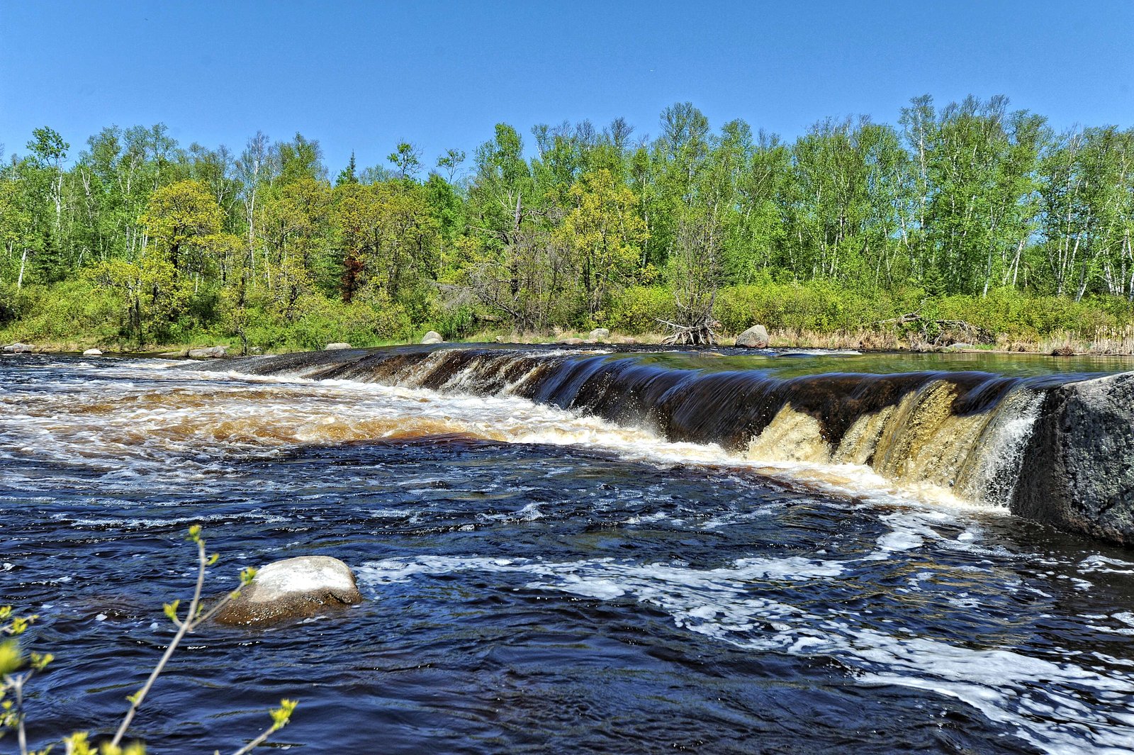
Viburnum Falls
Manitoba • Whiteshell Provincial Park
By Armen Suny · Last verified Jun 2026
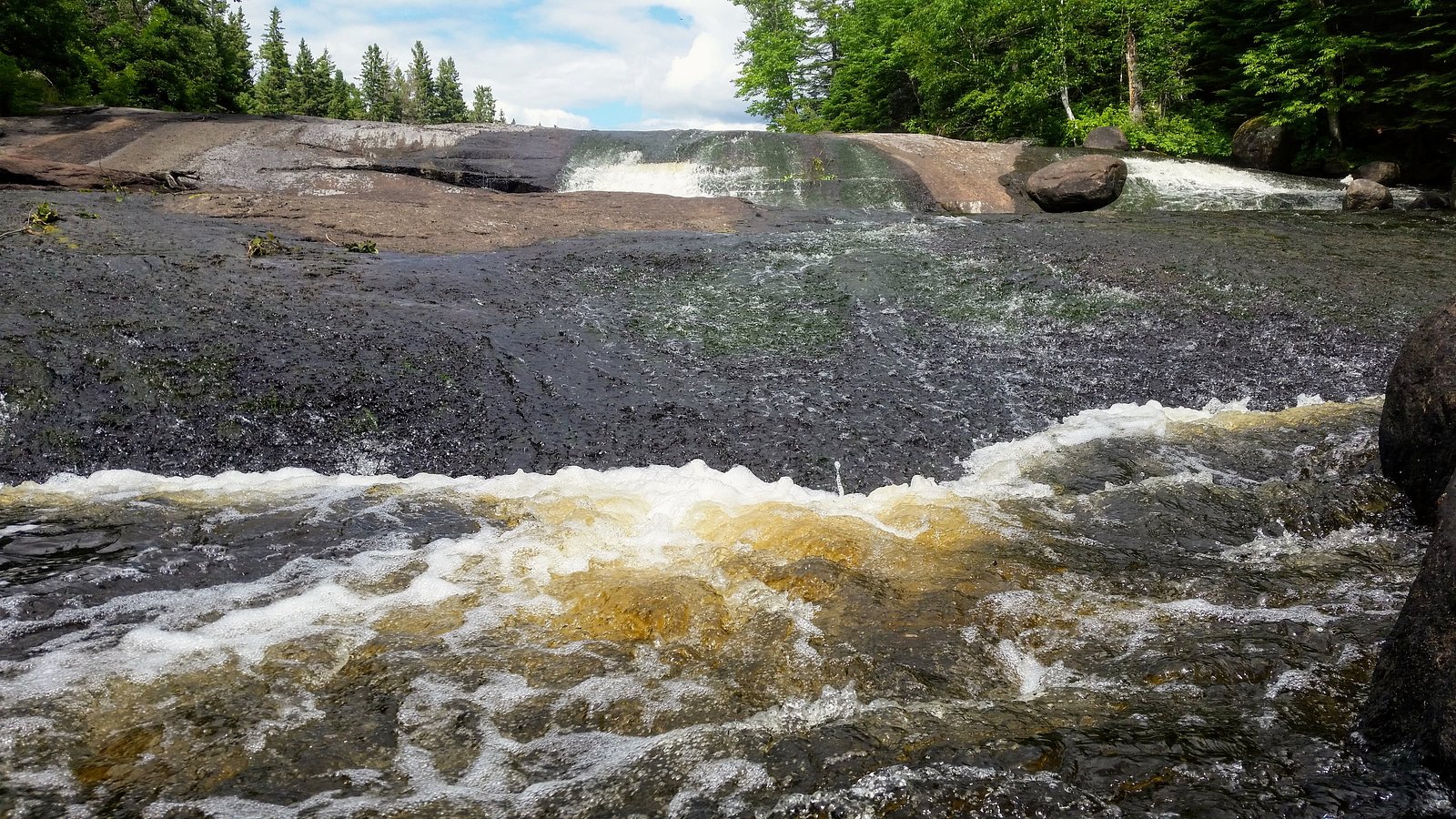
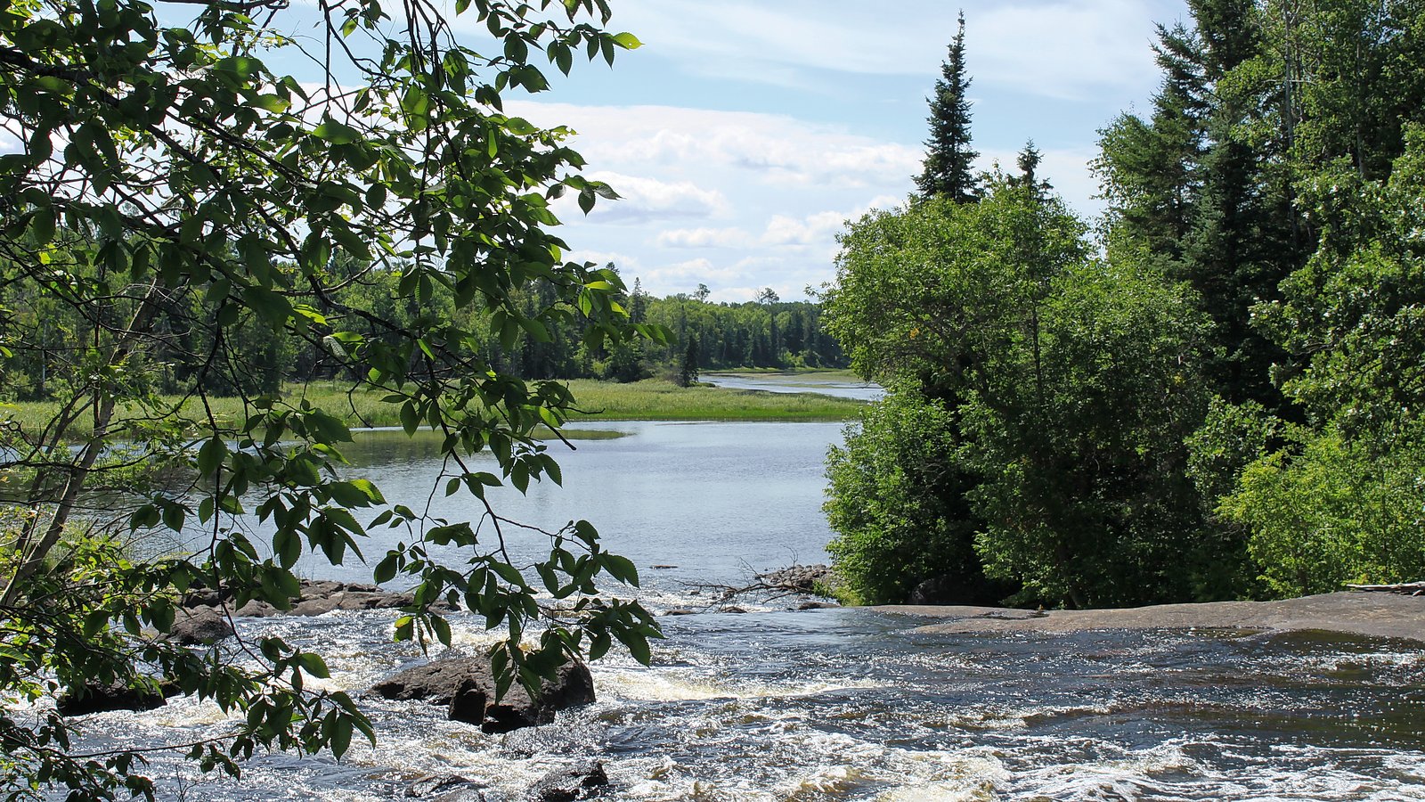
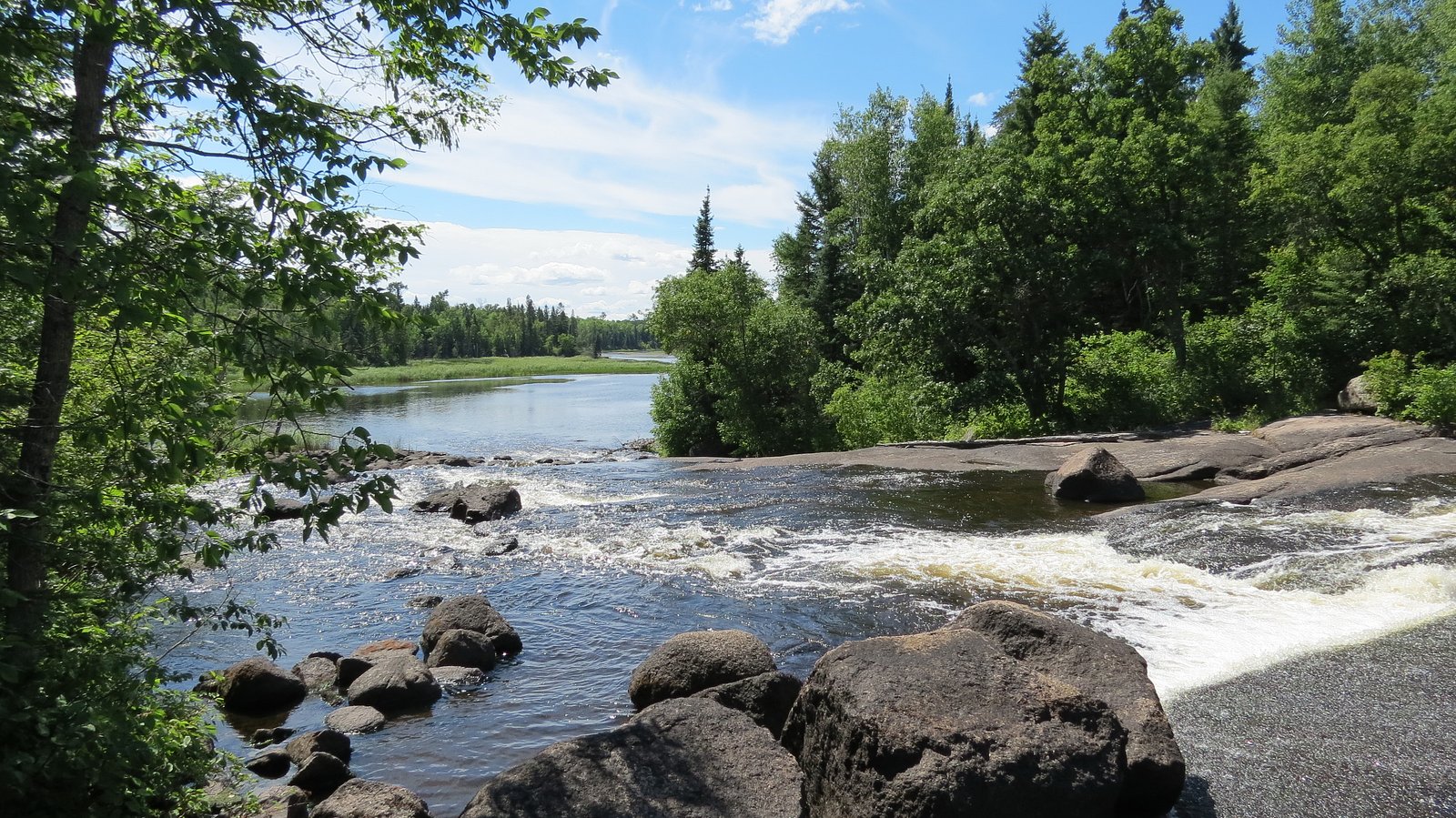
Photo Credits (5)
Difficulty
Moderate
Trail Length
7.9 km
Trail Type
Loop
Elevation Gain
232 m
About Viburnum Falls
Viburnum Falls is a lesser-known cascade located near the Manitoba/Ontario border (coordinates provided 50.1167, -95.5721). There are few widely published trip reports and no well-developed visitor infrastructure recorded in major trail databases. The waterfall appears to be on a small stream and is likely modest in overall size. Access appears to be informal and may require travel on secondary/forest roads and an unmarked footpath or short bushwhack. Details below are conservative where definitive public information is not available.
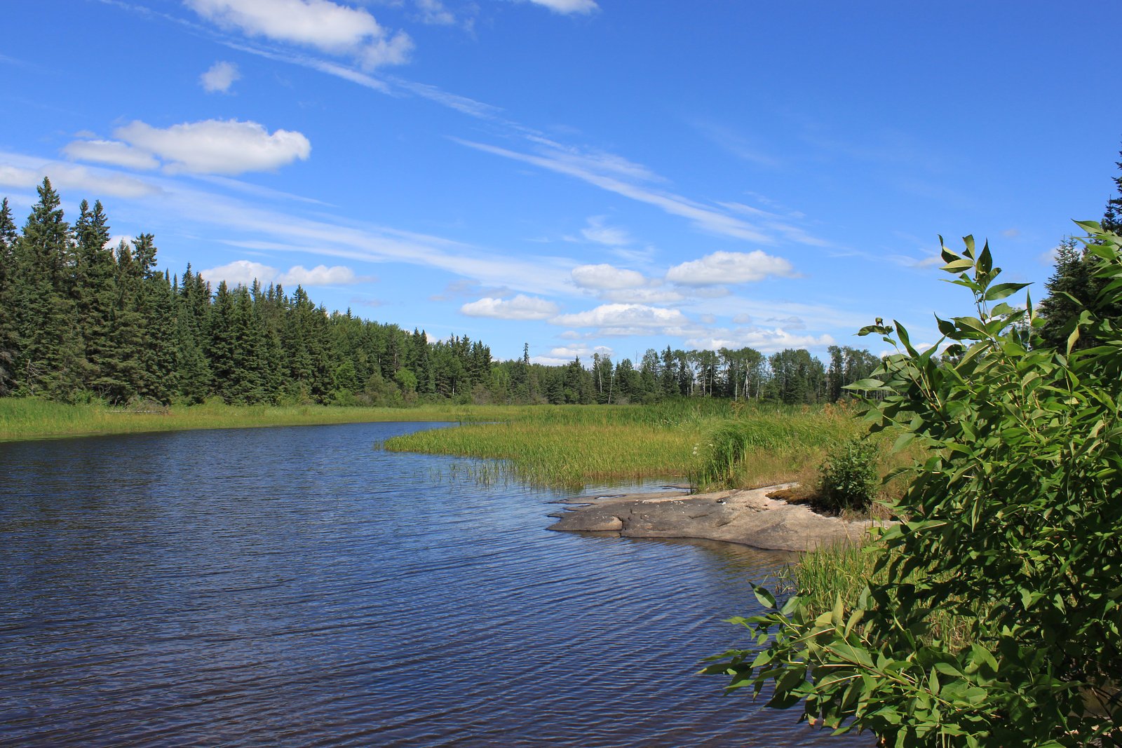
The Setting
Viburnum Falls sits at 294 metres within Whiteshell Provincial Park, in the foothills of Manitoba.
Why This Waterfall Exists
Viburnum Falls flows over hard intrusive rock, primarily granodiorite and gneiss, laid down over 2.5-4.0 billion years ago. These resistant rocks form a durable ledge that water cannot easily wear away, creating the falls where softer material downstream has already eroded.
Trail & Hike Details
The Approach
The moderate 7.9-km loop trail gains 232 metres of elevation on the way to the falls.
Trail Description
There are no widely published, maintained trails to Viburnum Falls in major trail guides. Approaches reported for similar remote falls in the region range from short unmarked walks from a roadside pullout to longer bushwhacks through boreal forest. Trail may be unmarked, uneven, and include wet or rocky ground. Because documented trail length and route are not available, expect route-finding and potentially off-trail travel.
What to Expect
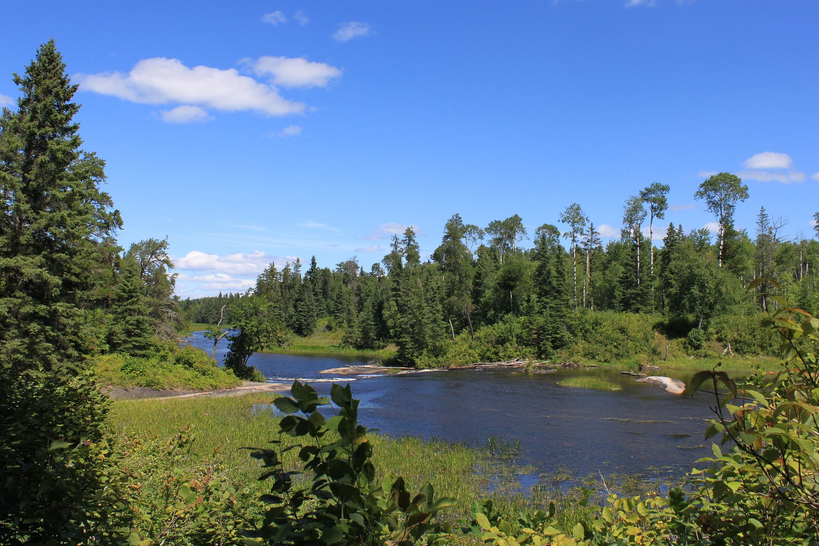
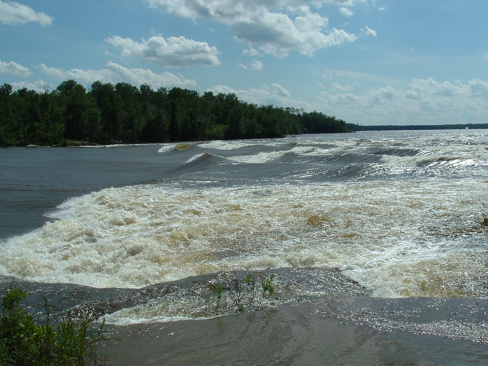
Expect a small to medium cascade on a forest stream set in boreal forest. Flow is seasonal, higher in spring snowmelt and after heavy rains, lower in late summer. Surroundings are likely mossy bedrock, mixed conifer/deciduous trees, and typical remote-forest understory. There are likely no visitor amenities (no restrooms, signage, or maintained viewpoints). In winter the falls may form ice features but can be hazardous due to freeze-thaw, unstable ice, and cold water.
Accessibility
The trail is not wheelchair accessible. Uneven terrain and elevation changes require steady footing.
Frequently Asked Questions
🐶 Are Dogs Allowed at Viburnum Falls?
❌ Dogs are not allowed
Are There Any Fees or Permits Required?
🆖 No fees required
🏊 Is There Swimming at Viburnum Falls?
❌ Swimming is not allowed
When to Visit
Spring (snowmelt/peak flow) and early summer for strongest flows and comfortable hiking conditions. Fall can offer good colors and lower visitor levels. Winter can offer ice formations but presents increased hazard (ice instability, cold).
Seasonal Access
The best time to visit is Spring, Summer, Fall, and Winter. Check with Whiteshell Provincial Park for current conditions.
Safety Information
Hazards may include: slippery wet rock and steep drop-offs; strong currents and undercut banks; unstable or thin ice in winter; poor or no cell coverage; limited or no emergency services close by; ticks and biting insects in warm months; potential black bear encounters. Use caution near edges, do not climb on wet rock, and treat ice formations as hazardous. If uncertain about route or conditions, choose a safer alternative or visit with experienced local guides.
Current Water Conditions
0.8 m³/s
Current discharge — how much water is flowing
Lower than usual for this time of year
Based on 65 years of record
307.31 m
Water depth at gauge
7-Day Discharge Trend
What does this mean for your visit?
Flow is lower than usual for this time of year.
About This Gauge
This gauge is on a nearby waterway and may not reflect exact conditions at the falls.
7-Day Flow Outlook
Based on the WSC gauge WHITESHELL RIVER AT OUTLET OF JESSICA LAKE (10 km away).
Today
Low
0.8 m³/s
5/10Tomorrow
Moderate
0.9 m³/s
5/10Tue
Low
0.8 m³/s
5/10Wed
Low
0.8 m³/s
5/10Thu
Low
0.8 m³/s
5/10Fri
Moderate
0.8 m³/s
5/10Sat
Moderate
0.8 m³/s
5/10Best window: Today — low flow, cloudy (trip score 5/10).
Best time of year: this gauge typically runs highest from mid April to mid July, peaking in May.
How we calculate this
This is a transparent outlook, not a precise forecast. We take the waterfall's current flow strength (how it ranks against its historical normal for today, from the nearest WSC stream gauge), carry that ranking forward along the gauge's seasonal curve, and nudge it for forecast rain. Confidence is highest for the next day or two and falls further out. Always check official conditions and your own judgment before visiting — high flows can be dangerous.
Know when to go.
Get a free email alert when waterfalls near Kenora hit peak flow. We only send when conditions are worth the trip — no weekly newsletters, no spam.
Weather Forecast
Location & Access
Getting There
The falls are approximately 64 miles (about 103 km) from Kenora by straight-line reference given; actual driving distance will depend on route and season. Expect to travel on provincial highways followed by secondary or forestry roads; some last-mile sections may be unpaved and rough. A high-clearance vehicle may be advisable in wet seasons. Use the provided coordinates in a reliable GPS or topographic map. There is limited official signage or maintained approach documented.
Get Directions on Google MapsParking
No formal parking lot is documented. Visitors likely use an informal roadside pullout or park at the end of a forestry/secondary road where stopping is safe and legal. Do not block gates, private driveways, or forestry equipment access. Parking conditions may change seasonally.
Elevation
294 metres above sea level
Coordinates
50.116695° N, -95.572126° W
Land Management
Managed by Manitoba Environment and Climate Change
Visitor Tips & Gear
1) Plan for minimal or no services; bring navigation (GPS with coordinates, topo map) and extra water/food. 2) Wear sturdy, waterproof footwear with good traction, rocks around falls can be very slippery. 3) Insect repellent and long sleeves/pants are recommended in spring/summer. 4) Let someone know your route and expected return time; cell coverage may be limited. 5) Avoid approaching edges or attempting to climb wet rock; currents and undercut banks can be dangerous. 6) Respect private property and forestry operations; close gates if you open them. 7) Leave no trace, pack out all waste.
As an Amazon Associate, we earn from qualifying purchases.
With 7.9 km and 232 m of elevation gain, sturdy boots and trekking poles will help on this moderate trail. Icy conditions are common in winter — traction cleats are a smart addition.

Columbia Watertight II Rain Jacket
Packs into its own pocket, seam-sealed, and keeps you dry from spray and surprise rain.

Polarized Sunglasses (Knockaround)
Cuts glare off the water so you actually see the falls — and your photos turn out better too.

Earth Pak Waterproof Dry Bag
Keeps your phone and gear dry when waterfall mist soaks everything else.

Waterproof Phone Pouch (AiRunTech)
Cheap insurance — take photos right next to the falls without killing your phone.

Timberland Euro Sprint Mid Waterproof
Trusted waterproof boot with premium leather and grippy rubber sole — reliable on rocky, wet trails.

TrailBuddy Trekking Poles
Lightweight aluminum, cork grips, and flip-locks that actually hold — a best-seller for good reason.
Where to Stay
Browse vacation cabins and private rentals nearby
Unique outdoor stays — tents, yurts, and treehouses
Rent a campervan or RV for your waterfall road trip
Some links are affiliate links. We may earn a commission at no extra cost to you.
Nearby Campground
Nutimik Lake Campground
7.2 km away
Additional Information
Nearby Attractions
Kenora and Lake of the Woods recreational opportunities (boating, fishing), provincial parks in the broader region. Exact nearby facilities depend on the approach route; major services will be found in Kenora.
Wildlife
Typical boreal species: white-tailed deer, moose, black bear, coyotes, beaver, and many bird species. Insect activity (mosquitoes, black flies) can be high in spring/summer. Take standard wildlife precautions.
Cities near Viburnum Falls
Nearby Waterfalls
Writing about Viburnum Falls? Embed this waterfall on your site for free.