Caux Falls
Manitoba • Whiteshell Provincial Park
By Armen Suny · Last verified Jun 2026
About Caux Falls
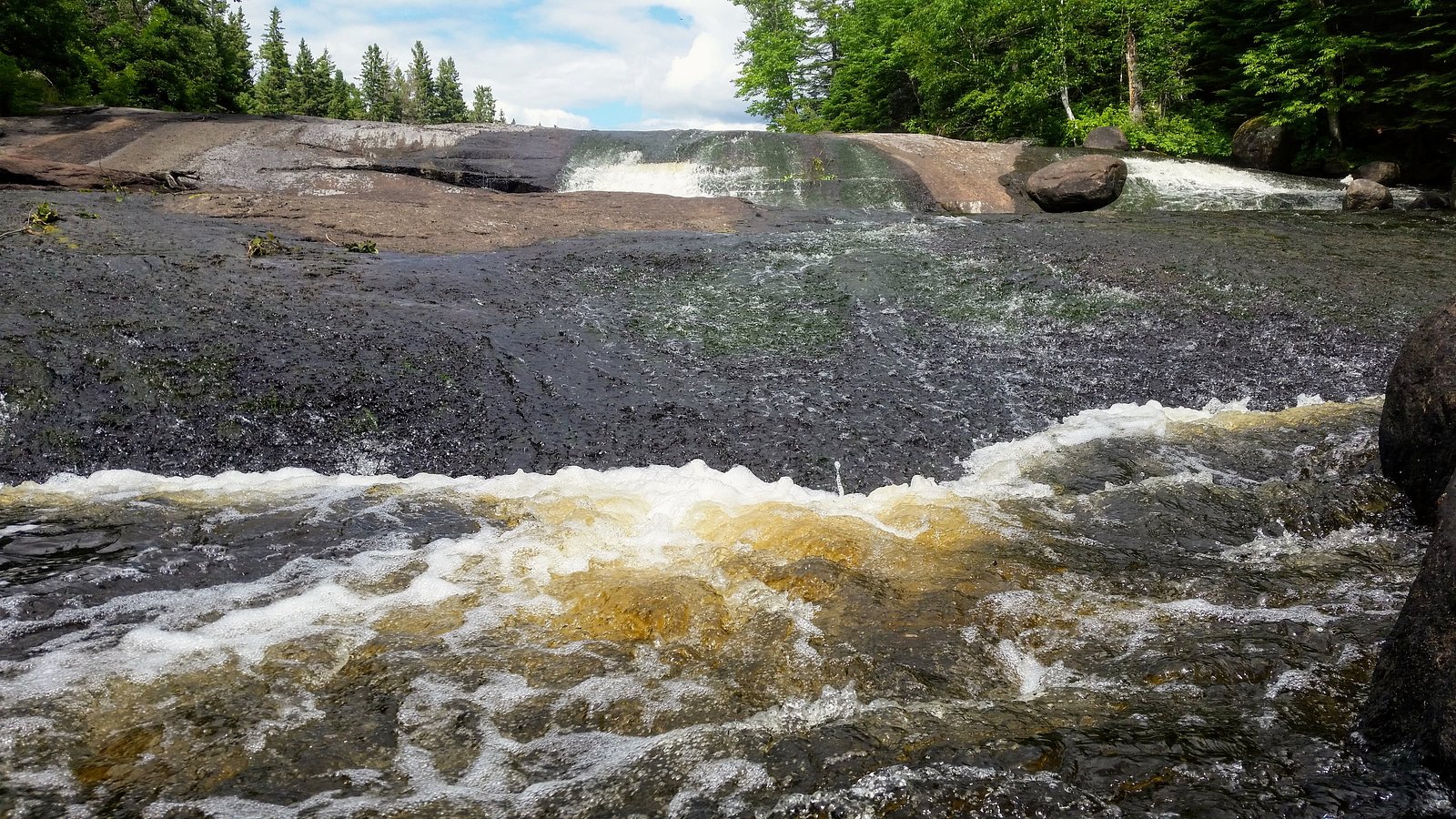
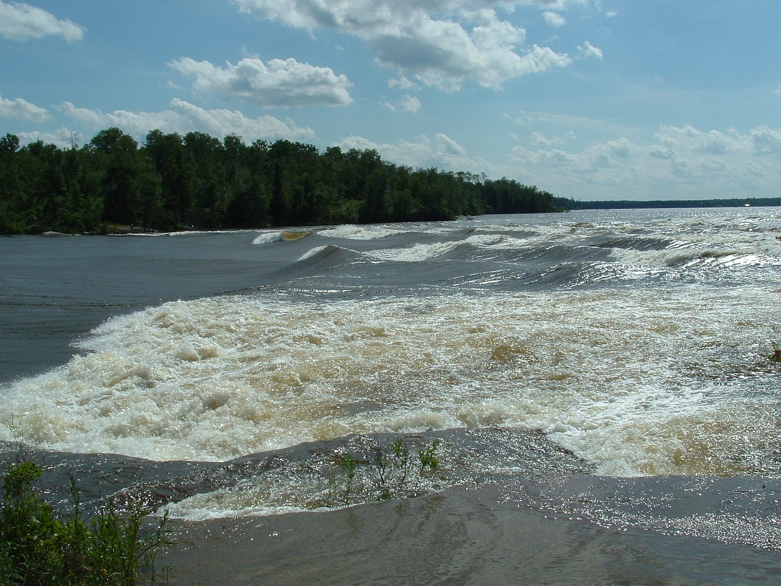
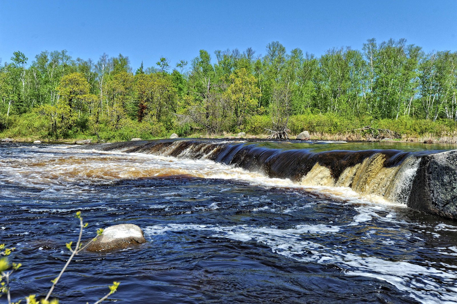
Caux Falls is a small, remote cascade on a creek in rural Manitoba at the provided coordinates (50.1204, -95.6057). The waterfall is set in boreal-forest country and is likely best described as a scenic, low-to-moderate cascade rather than a high vertical drop. Flow and appearance are strongly seasonal, highest in spring runoff and after heavy rain, lower in late summer and autumn. Winter can produce significant ice formations but access may be difficult due to snow and ice.
The Setting
Caux Falls sits at 274 metres within Whiteshell Provincial Park, in the foothills of Manitoba.
Why This Waterfall Exists
Caux Falls flows over hard intrusive rock, primarily granodiorite and gneiss, laid down over 2.5-4.0 billion years ago. These resistant rocks form a durable ledge that water cannot easily wear away, creating the falls where softer material downstream has already eroded.
Trail & Hike Details
Trail Description
There does not appear to be a well-developed or officially maintained trail to Caux Falls. Expect a short, informal path or bushwhack from a parking spot or logging road to reach the creek and viewpoints. Terrain may include uneven ground, roots, rocks, and wet or muddy sections; riverbank approaches can be slippery. Navigation by GPS coordinates and basic map-reading skills are recommended.
What to Expect
A small, scenic cascade in a boreal-forest setting. Views are generally of a multi-step cascade or a short drop over rock; the immediate area likely has moss, exposed rock, and mixed conifers/deciduous trees. Water levels vary seasonally. Facilities (toilets, signage, trash cans) are likely absent. Cell coverage may be limited or unavailable. Expect insects in warm months and icy conditions in winter.
Accessibility
Likely not wheelchair accessible. Expect uneven terrain, unmaintained approaches, and natural obstacles (rocks, roots, wet ground).
Frequently Asked Questions
🐶 Are Dogs Allowed at Caux Falls?
❌ Dogs are not allowed
Are There Any Fees or Permits Required?
🆖 No fees required
🏊 Is There Swimming at Caux Falls?
❌ Swimming is not allowed
When to Visit
Late spring to early summer for the strongest flows and most dramatic appearance. Early fall offers cooler weather and fall colors with generally lower flows. Winter can produce striking ice formations but access may be more difficult and hazardous.
Seasonal Access
The best time to visit is Spring, Summer, Fall, and Winter. Check with Whiteshell Provincial Park for current conditions.
Safety Information
Hazards may include slippery rock and riverbanks, strong currents during high flow, unstable ice in winter, limited or no cell service, and remote road conditions. Use caution near water and cliff edges, travel with a partner when possible, tell someone your plan, and be prepared for changing weather. If driving on unpaved roads, be prepared for mud, washouts, or seasonal closures.
Current Water Conditions
0.8 m³/s
Current discharge — how much water is flowing
Lower than usual for this time of year
Based on 65 years of record
307.31 m
Water depth at gauge
7-Day Discharge Trend
What does this mean for your visit?
Flow is lower than usual for this time of year.
About This Gauge
This gauge is on a nearby waterway and may not reflect exact conditions at the falls.
7-Day Flow Outlook
Based on the WSC gauge WHITESHELL RIVER AT OUTLET OF JESSICA LAKE (12 km away).
Today
Low
0.8 m³/s
5/10Tomorrow
Moderate
0.9 m³/s
5/10Tue
Low
0.8 m³/s
5/10Wed
Low
0.8 m³/s
5/10Thu
Low
0.8 m³/s
5/10Fri
Moderate
0.8 m³/s
5/10Sat
Moderate
0.8 m³/s
5/10Best window: Today — low flow, cloudy (trip score 5/10).
Best time of year: this gauge typically runs highest from mid April to mid July, peaking in May.
How we calculate this
This is a transparent outlook, not a precise forecast. We take the waterfall's current flow strength (how it ranks against its historical normal for today, from the nearest WSC stream gauge), carry that ranking forward along the gauge's seasonal curve, and nudge it for forecast rain. Confidence is highest for the next day or two and falls further out. Always check official conditions and your own judgment before visiting — high flows can be dangerous.
Weather Forecast
Location & Access
Getting There
The falls are in a remote area of Manitoba. Reaching the coordinates will likely require driving on secondary or unpaved roads and using a GPS device or offline map. Expect limited signage and few maintained trails. Visitors should plan a route in advance, carry a reliable map/GPS, and be prepared for unmarked approach trails or short bushwhacks from a roadside parking spot.
Get Directions on Google MapsParking
There is likely no formal parking lot. Parking may be roadside on a turnout or along a small pullout; space may be limited and seasonal (mud/snow). Park safely off the road where allowed and avoid blocking gates or forestry equipment access.
Elevation
274 metres above sea level
Coordinates
50.120385° N, -95.605680° W
Land Management
Managed by Manitoba Environment and Climate Change
Visitor Tips & Gear
• Use GPS coordinates and carry an offline map; do not rely solely on mobile service. • Wear sturdy shoes with good traction; rocks near the falls can be slippery. • Pack out all trash, there are likely no waste facilities. • Check weather and recent trail/road reports before heading out; unpaved roads can become impassable after rain. • Bring insect repellent in spring/summer; ticks and mosquitoes can be active. • Exercise caution near edges and fast water; currents and undercut banks can be hazardous. • If visiting in winter, bring appropriate cold-weather gear and traction devices; ice near the falls may be unstable.
Where to Stay
Browse vacation cabins and private rentals nearby
Unique outdoor stays — tents, yurts, and treehouses
Rent a campervan or RV for your waterfall road trip
Some links are affiliate links. We may earn a commission at no extra cost to you.
Nearby Campground
Nutimik Lake Campground
4.9 km away
Additional Information
Nearby Attractions
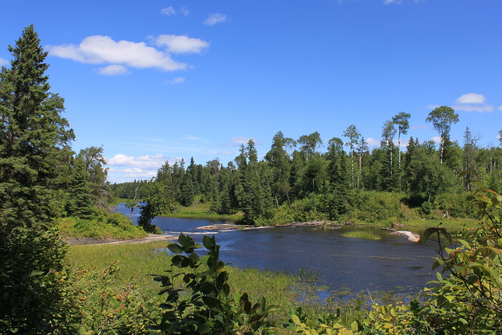
The area around the falls is typical boreal forest with lakes, rivers, and potential fishing or paddling opportunities nearby. Exact nearby named attractions are not confirmed; consult local maps and park/forest service resources for nearby provincial parks, lakes, or recreation areas.
Wildlife
Typical boreal species may be present: moose, white-tailed deer, black bear, beavers, foxes, and numerous bird species. Insects such as mosquitoes and black flies can be common in spring and summer. Practice wildlife safety and store food securely.
Nearby Waterfalls
Writing about Caux Falls? Embed this waterfall on your site for free.