Photo Credits (2)
Difficulty
Drive Up
Trail Length
0.2 km
Trail Type
Out And Back
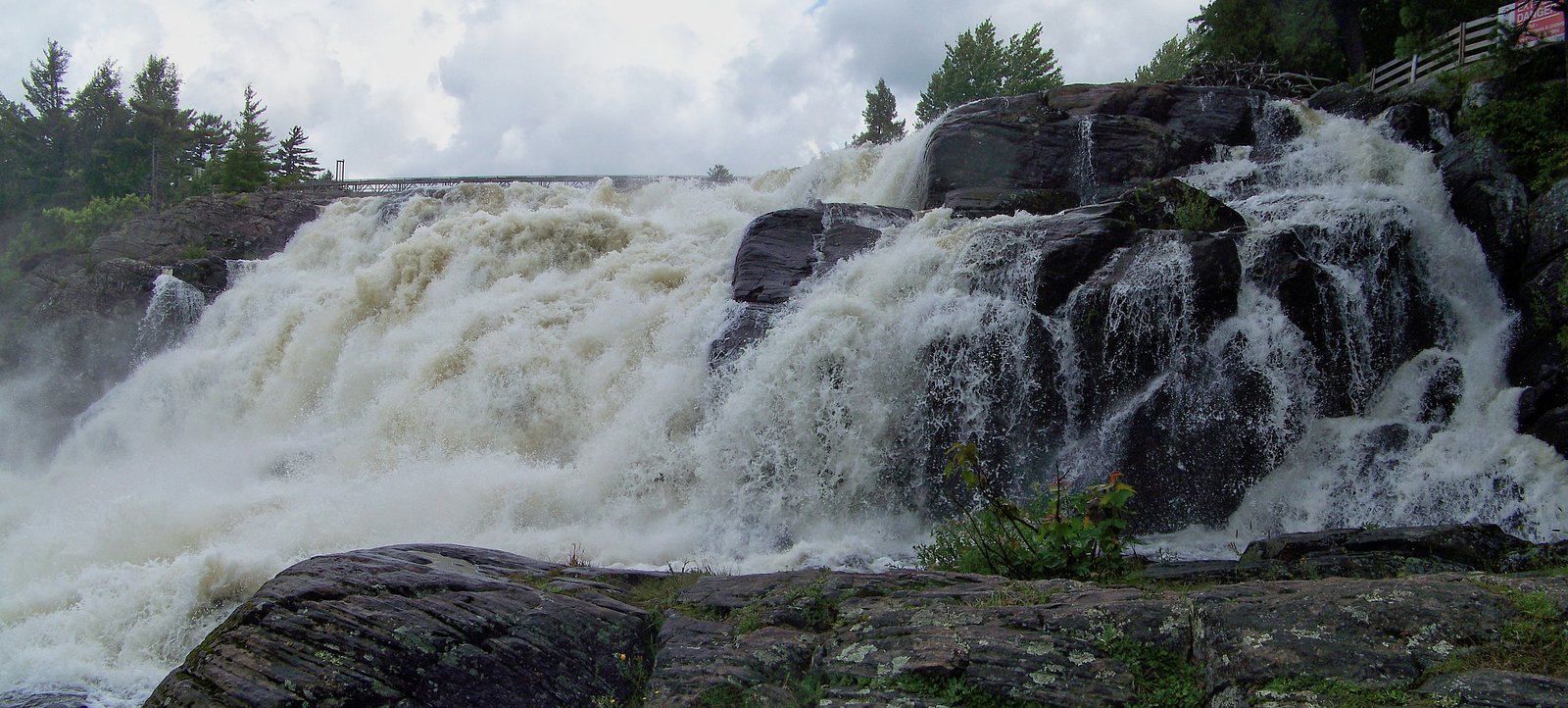
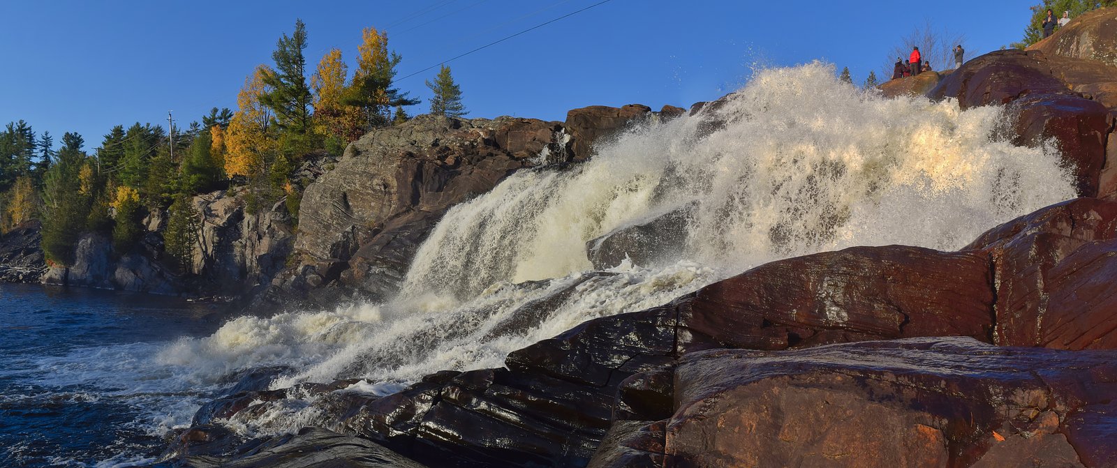
About Potts Falls
Potts Falls is a small, scenic woodland waterfall located in south-central Ontario near Orillia (approx. 28.7 miles), Parry Sound (approx. 43.0 miles) and Barrie (approx. 51.2 miles). The falls sit near latitude 45.087, longitude -79.3013 and appear as a series of cascades/ledges in a forested setting. Flow and appearance vary by season and recent precipitation; spring melt typically produces the highest flows. Specifics about the creek name and official protected-status for this exact coordinate are not certain and may vary by local mapping and conservation authority.
Why This Waterfall Exists
Potts Falls flows over hard crystalline rock laid down over 1.4-1.6 billion years ago. These resistant rocks form a durable ledge that water cannot easily wear away, creating the falls where softer material downstream has already eroded.
Nearby Falls Worth Visiting
Trethewey Falls (11 m) lies 11.3 kilometres to the south. Also nearby: Wilsons Falls (10 m, 3.1 km) and Bracebridge Falls (10 m, 5.1 km).
Trail & Hike Details
The Approach
No hiking required. Potts Falls is accessible by vehicle with a roadside viewing area.
Trail Description
The approach to Potts Falls is typically a short forested walk from a nearby parking pullout. Trails are likely unpaved, may be narrow with roots and rocks, and can be muddy or icy depending on season. The route generally follows a creek or small stream and ends at a natural overlook or at stream level. There may be no boardwalks, railings, or formal viewpoints. Navigation can require basic trail-finding; bring a map or GPS and be prepared for limited or unmarked junctions.
What to Expect
Expectation: a modest, wooded waterfall composed of ledges and cascades in a quiet, natural setting. Expect limited facilities (no restrooms, visitor center, or maintained viewpoints). Water levels change with season, highest in spring. Rocks around the falls are commonly wet and slippery. Mosquitoes and black flies can be numerous in late spring/early summer; ticks may be present in warmer months. Cell service may be intermittent in rural sections.
Accessibility
This waterfall is viewable from a vehicle-accessible area. No hiking is required.
Frequently Asked Questions
🐶 Are Dogs Allowed at Potts Falls?
❌ Dogs are not allowed
Are There Any Fees or Permits Required?
🆖 No fees required
🏊 Is There Swimming at Potts Falls?
❌ Swimming is not allowed
When to Visit
Spring (snowmelt and rainy periods) for highest flows and dramatic appearance. Early morning or weekdays for fewer visitors. Fall for foliage and pleasant temperatures. Winter can offer frozen scenery but access can be icy and more hazardous, use caution.
Seasonal Access
The best time to visit is Spring, Summer, Fall, and Winter. Check with the managing park or local authority for current conditions.
Safety Information
Hazards may include slippery rocks and ledges, unstable banks near the water, cold swift water during high flow, and limited or no guardrails. Weather can change quickly; hypothermia risk exists in cold water. Watch for ticks and poison ivy. Road and trail conditions can be poor after heavy rain, check local reports before visiting. If the area is on private property, access may be restricted, confirm permissions to avoid trespass.
Current Water Conditions
9.8 m³/s
Current discharge — how much water is flowing
About average for this time of year
Based on 109 years of record
0.85 m
Water depth at gauge
7-Day Discharge Trend
What does this mean for your visit?
Flow is about average for this time of year.
About This Gauge
This gauge is on a nearby waterway and may not reflect exact conditions at the falls.
7-Day Flow Outlook
Based on the WSC gauge NORTH BRANCH MUSKOKA RIVER AT PORT SYDNEY (14 km away).
Today
Moderate
9.9 m³/s
9/10Tomorrow
Moderate
8.8 m³/s
8/10Tue
Moderate
10 m³/s
6/10Wed
Moderate
10 m³/s
6/10Thu
Moderate
9.4 m³/s
8/10Fri
Moderate
9.3 m³/s
6/10Sat
Moderate
9.7 m³/s
8/10Best window: Today — moderate flow, mainly sunny (trip score 9/10).
Best time of year: this gauge typically runs highest from mid March to late May, peaking in April.
How we calculate this
This is a transparent outlook, not a precise forecast. We take the waterfall's current flow strength (how it ranks against its historical normal for today, from the nearest WSC stream gauge), carry that ranking forward along the gauge's seasonal curve, and nudge it for forecast rain. Confidence is highest for the next day or two and falls further out. Always check official conditions and your own judgment before visiting — high flows can be dangerous.
Know when to go.
Get a free email alert when waterfalls near Orillia hit peak flow. We only send when conditions are worth the trip — no weekly newsletters, no spam.
Weather Forecast
Location & Access
Getting There
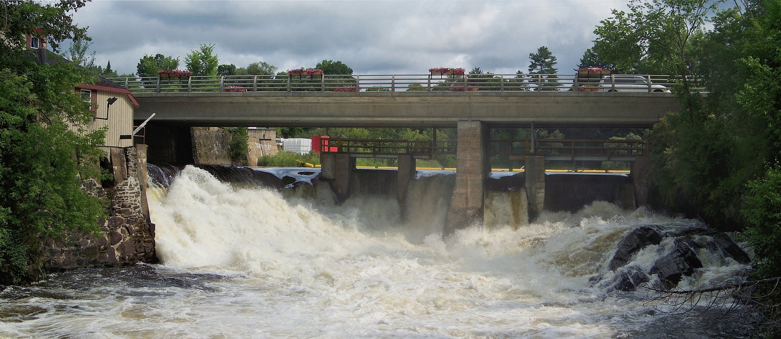
Potts Falls is reached via local county and forest roads off the main highways serving Orillia and surrounding communities. From Orillia or Barrie, expect to drive on smaller paved or gravel roads and use a local pullout or small parking area near a forest access point. Exact turn-by-turn directions and the final access point may vary by mapping source; consult local maps or a recent visitor report before traveling. Coordinates: 45.087, -79.3013.
Get Directions on Google MapsParking
Parking is likely limited to a small roadside pullout or informal lot. There may be no formal lot, signage, or facilities. Park so as not to block gates or private driveways and follow posted signs. Accessibility for low-clearance vehicles or long vehicles may be limited on gravel roads.
Elevation
273 metres above sea level
Coordinates
45.086976° N, -79.301250° W
Visitor Tips & Gear
• Wear sturdy, closed-toe footwear with good grip. • Expect muddy, uneven, or rooty trail surfaces; trekking poles can help. • Avoid wet rocks and the edge of drop-offs; ledges can be unstable. • Check for ticks after your visit and use repellent in tick season. • Bring water and a small first-aid kit; there may be no services nearby. • Leave no trace, pack out garbage and avoid disturbing vegetation or wildlife. • Confirm access before visiting (private property and gate/road closures can occur).
Where to Stay
Browse vacation cabins and private rentals nearby
Unique outdoor stays — tents, yurts, and treehouses
Rent a campervan or RV for your waterfall road trip
Some links are affiliate links. We may earn a commission at no extra cost to you.
Nearby Campground
Ontario Pioneer Camp
13.1 km away
Additional Information
Nearby Attractions
Orillia and its waterfront on Lake Simcoe/Couchiching, provincial parks and conservation areas in the region, lakes and boating opportunities. Specific nearby attractions depend on exact route and local access points, consult regional tourism info for Orillia/Simcoe County.
Wildlife
Typical mixed-woodland wildlife may be present, including white-tailed deer, beaver, otter, waterfowl, songbirds, and small mammals. Black bears are found in parts of central Ontario, store food securely and be aware of bear safety if camping or hiking in the area.
Cities near Potts Falls
Nearby Waterfalls

Writing about Potts Falls? Embed this waterfall on your site for free.