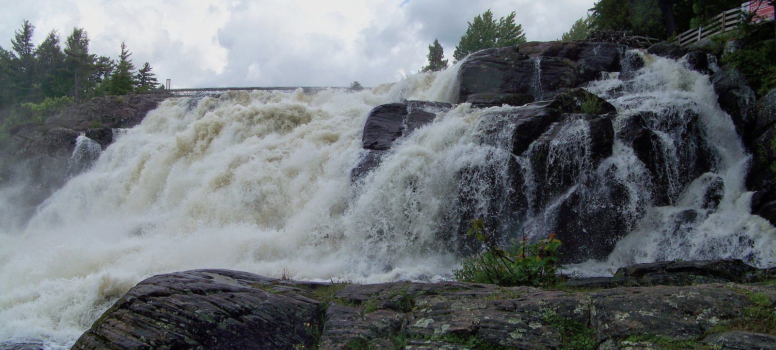
Bracebridge Falls
Ontario • 10 m
By Armen Suny · Last verified Jun 2026
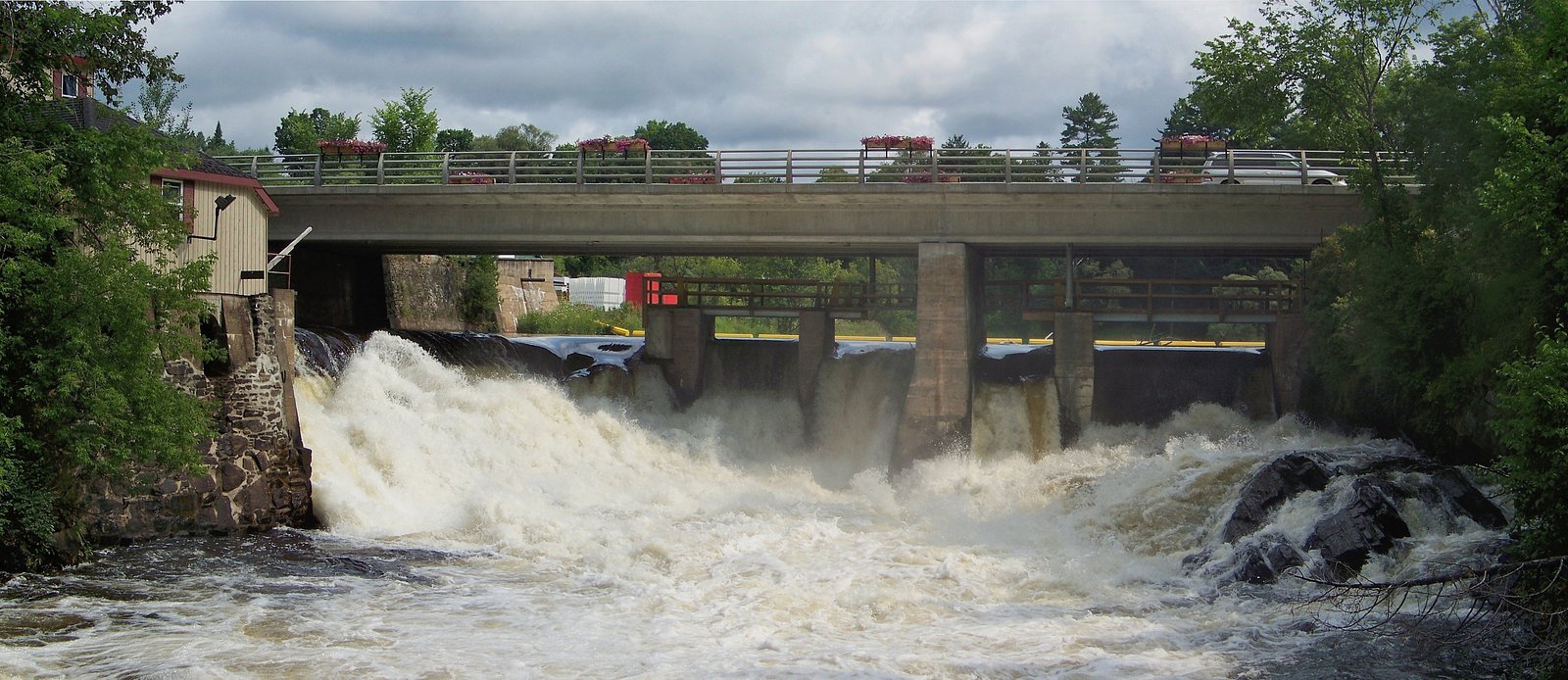
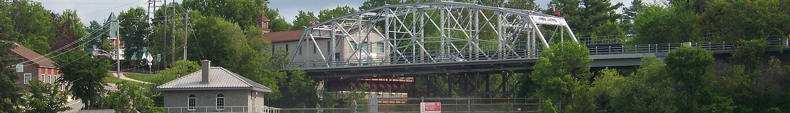
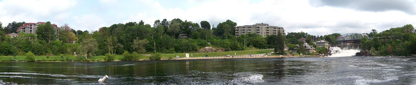
Photo Credits (5)
Difficulty
Drive Up
Trail Length
0.2 km
Trail Type
Out And Back
About Bracebridge Falls
Bracebridge Falls is a small, urban waterfall on the Muskoka River located in the town of Bracebridge, Ontario (coordinates: 45.0402, -79.3069). The falls are adjacent to the downtown area and are typically accessed from nearby parks, sidewalks, and viewing areas. Flow and appearance vary seasonally, highest flows are usually in spring and after heavy rain; the falls develop ice features in winter.
The Setting
Bracebridge Falls sits at 246 metres in the foothills of Ontario. The falls drop 10 metres.
Why This Waterfall Exists
Bracebridge Falls flows over hard crystalline rock laid down over 1.4-1.6 billion years ago. These resistant rocks form a durable ledge that water cannot easily wear away, creating a 33-foot drop where softer material downstream has already eroded.
Nearby Falls Worth Visiting
Trethewey Falls (11 m) lies 6.4 kilometres to the southeast. Also nearby: Wilsons Falls (10 m, 2.3 km).
Trail & Hike Details
The Approach
No hiking required. Bracebridge Falls is accessible by vehicle with a roadside viewing area.
Trail Description
This site is an urban/park viewing location rather than a wilderness trail. Expect short paved sidewalks, pedestrian bridges or viewing platforms near the river, and steps or short ramps in places. Visitors typically view the falls from riverfront walkways, observation points, and nearby parks without the need for hiking.
What to Expect
The falls drop 10 metres over hard crystalline rock.
Accessibility
This waterfall is viewable from a vehicle-accessible area. No hiking is required.
Frequently Asked Questions
🐶 Are Dogs Allowed at Bracebridge Falls?
❌ Dogs are not allowed
Are There Any Fees or Permits Required?
🆖 No fees required
🏊 Is There Swimming at Bracebridge Falls?
❌ Swimming is not allowed
When to Visit
Spring for highest water flow and dramatic appearance; fall for foliage color along the river; summer for easy access and nearby services. Winter visits offer ice and snow scenery but can be icy and cold, only visit with appropriate footwear and caution.
Seasonal Access
The best time to visit is Spring, Summer, Fall, and Winter. Check with the managing park or local authority for current conditions.
Safety Information
Hazards include slippery wet surfaces and ice, fast currents near the falls, cold water, and potentially unstable rocks or riverbanks. Do not climb on barriers or attempt to go over the dam. Supervise children closely and keep dogs leashed. Follow all posted signage and municipal warnings. In spring and after heavy rain, flows can be significantly stronger, maintain a safe distance from the water's edge.
Current Water Conditions
11.9 m³/s
Current discharge — how much water is flowing
About average for this time of year
Based on 75 years of record
7.65 m
Water depth at gauge
7-Day Discharge Trend
What does this mean for your visit?
Flow is about average for this time of year.
About This Gauge
This gauge is on a nearby waterway and may not reflect exact conditions at the falls.
7-Day Flow Outlook
Based on the WSC gauge SOUTH BRANCH MUSKOKA RIVER AT BAYSVILLE (19 km away).
Today
Moderate
12 m³/s
8/10Tomorrow
Moderate
11 m³/s
8/10Tue
Strong
14 m³/s
7/10Wed
Strong
13 m³/s
8/10Thu
Moderate
12 m³/s
8/10Fri
Moderate
13 m³/s
6/10Sat
Moderate
13 m³/s
8/10Best window: Today — moderate flow, partly cloudy (trip score 8/10).
Best time of year: this gauge typically runs highest from mid February to mid May, peaking in April.
How we calculate this
This is a transparent outlook, not a precise forecast. We take the waterfall's current flow strength (how it ranks against its historical normal for today, from the nearest WSC stream gauge), carry that ranking forward along the gauge's seasonal curve, and nudge it for forecast rain. Confidence is highest for the next day or two and falls further out. Always check official conditions and your own judgment before visiting — high flows can be dangerous.
Know when to go.
Get a free email alert when waterfalls near Orillia hit peak flow. We only send when conditions are worth the trip — no weekly newsletters, no spam.
Weather Forecast
Location & Access
Getting There
Located in/near downtown Bracebridge on the Muskoka River (45.0402, -79.3069). From Orillia (approx. 26.2 miles) follow local highways west/southwest into Bracebridge; from Parry Sound (approx. 45.1 miles) or Barrie (approx. 48.7 miles) drive toward Bracebridge on the main regional routes. The falls are in the municipal area and are best reached by following signs to downtown Bracebridge or town parks along the river. Use the coordinates in a GPS for precise location.
Get Directions on Google MapsParking
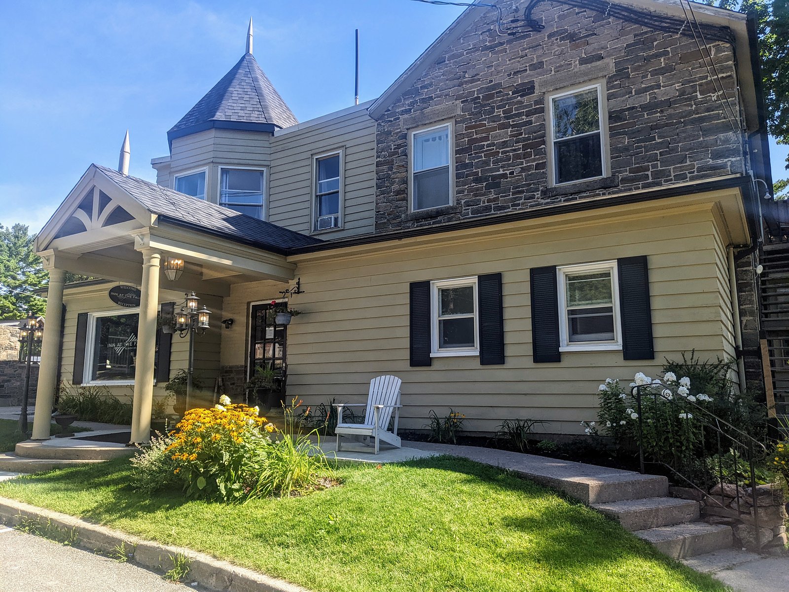
Public street parking and municipal lots are typically available in downtown Bracebridge within a short walk of the falls. Parking may be metered or time-limited during peak season, check local signs and municipal parking information. Parking availability may be limited during events.
Elevation
246 metres above sea level
Coordinates
45.040204° N, -79.306860° W
Visitor Tips & Gear
Wear sturdy shoes, surfaces near the river and viewing areas can be wet and slippery. Respect signage and barriers; do not climb on rocks near the water or attempt to access restricted areas. Check for parking signage and pay meters if required. In winter, expect icy conditions, crampons or traction devices may be useful. Keep pets on leash and watch small children closely.
Where to Stay
Browse vacation cabins and private rentals nearby
Unique outdoor stays — tents, yurts, and treehouses
Rent a campervan or RV for your waterfall road trip
Some links are affiliate links. We may earn a commission at no extra cost to you.
Nearby Campground
KOA Kampground
17.5 km away
Additional Information
Nearby Attractions
Bracebridge downtown shops and restaurants, riverfront parks and walkways, local museums and community attractions in Bracebridge. The broader Muskoka region offers lakes, provincial parks, and outdoor recreation within driving distance.
Wildlife
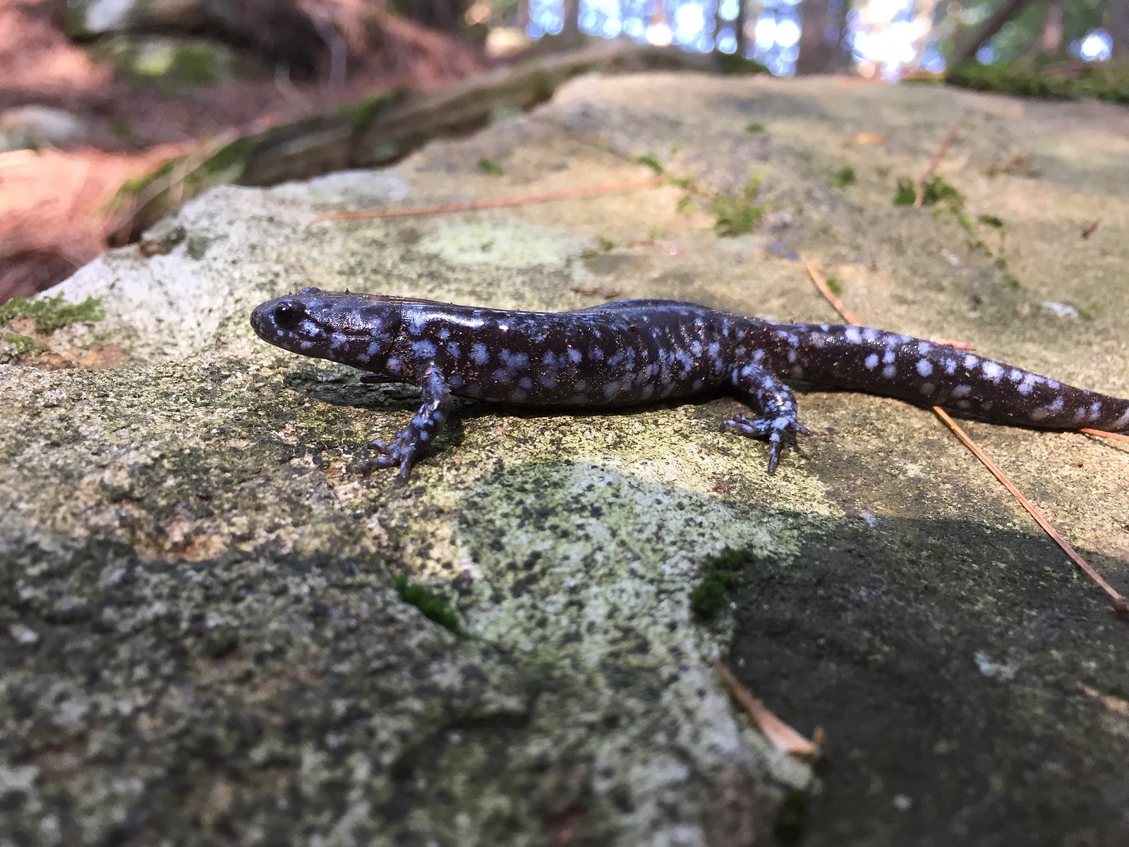
Expect typical southern Ontario wildlife: waterfowl, ducks, geese, beavers, muskrats, songbirds, and occasionally deer. Black bears exist in the broader Muskoka region; sightings near downtown are uncommon but possible in outlying areas, store food and dispose of garbage responsibly.
Cities near Bracebridge Falls
Nearby Waterfalls

Writing about Bracebridge Falls? Embed this waterfall on your site for free.