Phi Alpha Falls
By Armen Suny · Last verified Jun 2026
Difficulty
Hard
Trail Length
13.8 km
Trail Type
Out And Back
Elevation Gain
1032 m
About Phi Alpha Falls
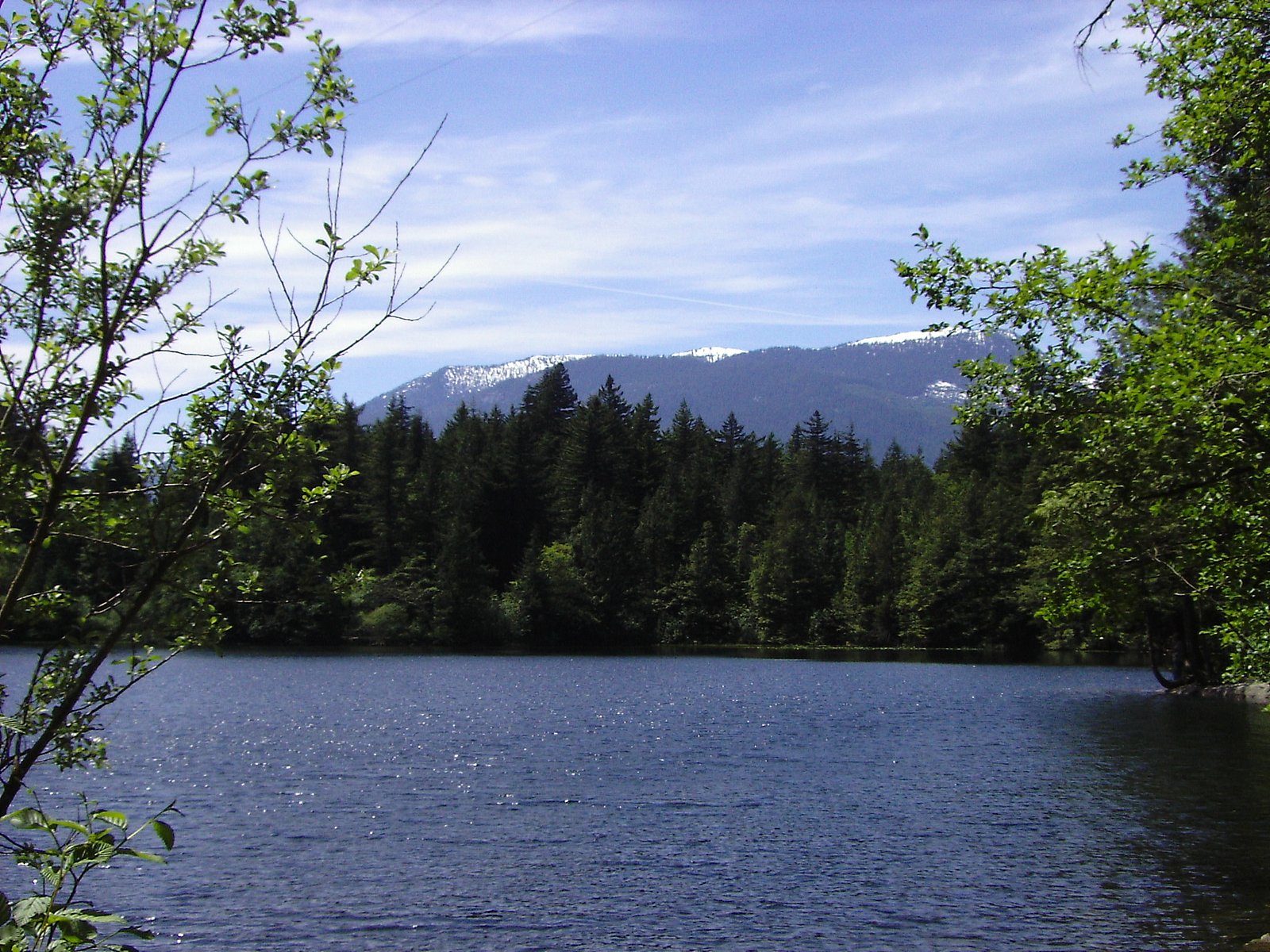
Phi Alpha Falls is a small coastal-forest waterfall located in southwestern British Columbia at approximately 49.5198, -123.2193 (roughly 17 miles north of Vancouver). It is described in some local hiking references and visitor reports as a relatively secluded cascade reached by a short forest trail or roadside approach. Flow is typically highest in spring and after heavy rain. Specifics about the exact drop, number of tiers, and formal trail infrastructure are not consistently documented and may vary by season.
The Setting
Phi Alpha Falls sits at 808 metres within CYPRESS PARK, in the hills of British Columbia.
Why This Waterfall Exists
Phi Alpha Falls flows over hard volcanic rock laid down about 101-145 million years ago. These resistant rocks form a durable ledge that water cannot easily wear away, creating the falls where softer material downstream has already eroded.
Nearby Falls Worth Visiting
Mineral Creek Falls (18 m) lies 11.7 kilometres to the north.
Trail & Hike Details
The Approach
The hard 13.8-km out-and-back trail gains 1,032 metres of elevation on the way to the falls.
Trail Description
Reported approaches are through coastal temperate rainforest with roots, wet rock, and potentially muddy or braided social trails. The final approach to the water may require stepping on rocks or short scrambling over wet, slippery terrain. Because documented trail descriptions vary, expect an informal path rather than a constructed boardwalk or maintained trail.
What to Expect
Expect a forested setting with moss, ferns, and conifer trees common to the Lower Mainland. Water flow is generally higher in spring and after heavy rains, and lower in late summer. There may be one or more small drops or cascades rather than a very tall single plunge. Cell reception may be spotty in some forested areas. Facilities (toilets, maintained viewpoints, signage) are unlikely.
Accessibility
The trail involves steep, uneven terrain with significant elevation change and is not accessible to mobility devices.
Frequently Asked Questions
🐶 Are Dogs Allowed at Phi Alpha Falls?
❌ Dogs are not allowed
Are There Any Fees or Permits Required?
🆖 No fees required
🏊 Is There Swimming at Phi Alpha Falls?
❌ Swimming is not allowed
When to Visit
Late spring (snowmelt and seasonal rains) typically provides the most robust flow. Early summer and fall can offer pleasant hiking conditions; late summer may have reduced flow. Avoid visiting after heavy rain without checking conditions, trails and stream crossings can be hazardous.
Seasonal Access
The best time to visit is Spring, Summer, and Fall. Winter access may be limited. Check with the managing park or local authority for current conditions.
Safety Information
Caution: wet and slippery rocks, steep or unstable banks, and fast-flowing water after heavy rain. Trails may be poorly marked and there is a risk of getting off-route or encountering private property. Wear appropriate footwear, avoid climbing on wet rocks near the falls, and do not enter fast-moving water. Check recent visitor reports for trail conditions and closures before visiting. If you encounter wildlife, follow standard regional safety guidance.
Current Water Conditions
1.0 m³/s
Current discharge — how much water is flowing
Much lower than usual for this time of year
Based on 13 years of record
1.61 m
Water depth at gauge
7-Day Discharge Trend
What does this mean for your visit?
Flow is well below normal for this time of year, so the waterfall may be a trickle.
About This Gauge
This gauge is on a nearby waterway and may not reflect exact conditions at the falls.
7-Day Flow Outlook
Based on the WSC gauge CAPILANO RIVER ABOVE EASTCAP CREEK (11 km away).
Today
Barely Flowing
0.9 m³/s
4/10Tomorrow
Barely Flowing
1.0 m³/s
4/10Tue
Barely Flowing
1.0 m³/s
4/10Wed
Barely Flowing
1.1 m³/s
4/10Thu
Barely Flowing
0.9 m³/s
4/10Fri
Barely Flowing
0.8 m³/s
4/10Sat
Barely Flowing
0.8 m³/s
3/10Best window: Today — barely flowing flow, fog (trip score 4/10).
Best time of year: this gauge typically runs highest from mid May to mid June, peaking in November.
How we calculate this
This is a transparent outlook, not a precise forecast. We take the waterfall's current flow strength (how it ranks against its historical normal for today, from the nearest WSC stream gauge), carry that ranking forward along the gauge's seasonal curve, and nudge it for forecast rain. Confidence is highest for the next day or two and falls further out. Always check official conditions and your own judgment before visiting — high flows can be dangerous.
Know when to go.
Get a free email alert when waterfalls near Vancouver hit peak flow. We only send when conditions are worth the trip — no weekly newsletters, no spam.
Weather Forecast
Location & Access
Getting There
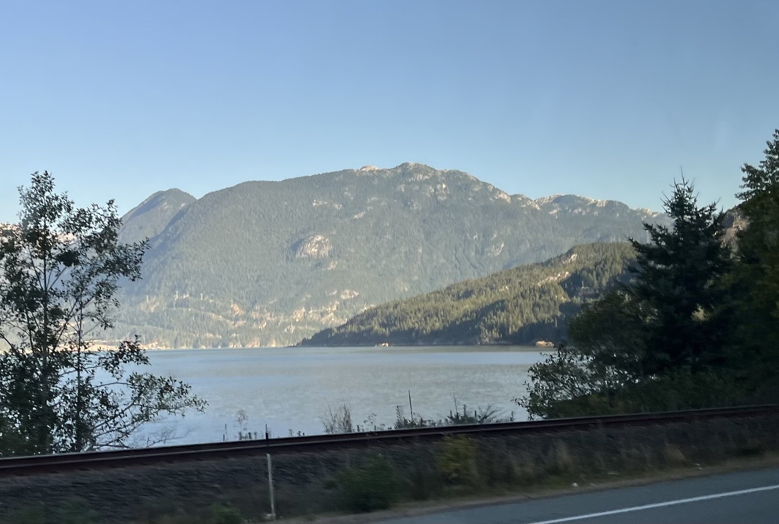
The falls are located on the mainland coast of British Columbia near the provided coordinates (49.5198, -123.2193). From Vancouver the site is roughly a 30–45 minute drive depending on exact start/end points and traffic. Access in local reports is commonly via a short forest spur or unofficial trail from a roadside parking/turnout; exact access points and legal public access should be confirmed locally. Some approaches may cross private property or follow undeveloped logging/forest service roads, so check maps and local signage before parking or crossing fences.
Get Directions on Google MapsParking
Parking is reported to be limited and may be informal (small roadside turnouts or pullouts). There may be no formal lot or facilities. Park legally and avoid blocking driveways or gates. Expect a short walk from any parking area.
Elevation
808 metres above sea level
Coordinates
49.519834° N, -123.219264° W
Land Management
Managed by Government of British Columbia
Visitor Tips & Gear
• Wear sturdy, waterproof footwear with good traction, rocks and roots are often slippery. • Check recent trip reports or local hiking sites (AllTrails, local park/municipal resources) for access updates and route descriptions before you go. • Park legally and avoid blocking driveways or gates; if the approach crosses private land, respect signage and stay on permitted routes. • Bring insect repellent and rain gear, especially in spring and fall. • Leave no trace: pack out all trash and avoid disturbing vegetation or stream banks.
As an Amazon Associate, we earn from qualifying purchases.
This challenging 13.8 km trail gains 1032 m in elevation — come prepared with proper hiking boots and trekking poles. Sun exposure on the trail makes good sun protection a must in summer.

Sawyer Squeeze Water Filter
The backcountry standard — filters 99.9% of bacteria and weighs just 3 oz.

Columbia Watertight II Rain Jacket
Packs into its own pocket, seam-sealed, and keeps you dry from spray and surprise rain.

Earth Pak Waterproof Dry Bag
Keeps your phone and gear dry when waterfall mist soaks everything else.

Waterproof Phone Pouch (AiRunTech)
Cheap insurance — take photos right next to the falls without killing your phone.

Timberland Euro Sprint Mid Waterproof
Trusted waterproof boot with premium leather and grippy rubber sole — reliable on rocky, wet trails.

TrailBuddy Trekking Poles
Lightweight aluminum, cork grips, and flip-locks that actually hold — a best-seller for good reason.
Where to Stay
Browse vacation cabins and private rentals nearby
Unique outdoor stays — tents, yurts, and treehouses
Rent a campervan or RV for your waterfall road trip
Some links are affiliate links. We may earn a commission at no extra cost to you.
Nearby Campground
Deeks Lake Campsite
0.7 km away
Additional Information
Nearby Attractions
The site is within driving distance of the Greater Vancouver area. Nearby larger communities include Vancouver, Point Roberts (WA), and Blaine (WA). Other local outdoor attractions in the region include coastal beaches, regional parks, and other small creeks and waterfalls, check local maps for specific sites.
Wildlife
Typical coastal-forest wildlife may include songbirds, small mammals, and potentially black bears or cougar in the broader region. Be bear-aware in spring–fall: make noise, store food securely, and know what to do if you encounter wildlife.
Cities near Phi Alpha Falls
Nearby Waterfalls
Writing about Phi Alpha Falls? Embed this waterfall on your site for free.