Magnesia Falls
By Armen Suny · Last verified Jun 2026
Difficulty
Easy
Trail Length
3.7 km
Trail Type
Out And Back
Elevation Gain
101 m
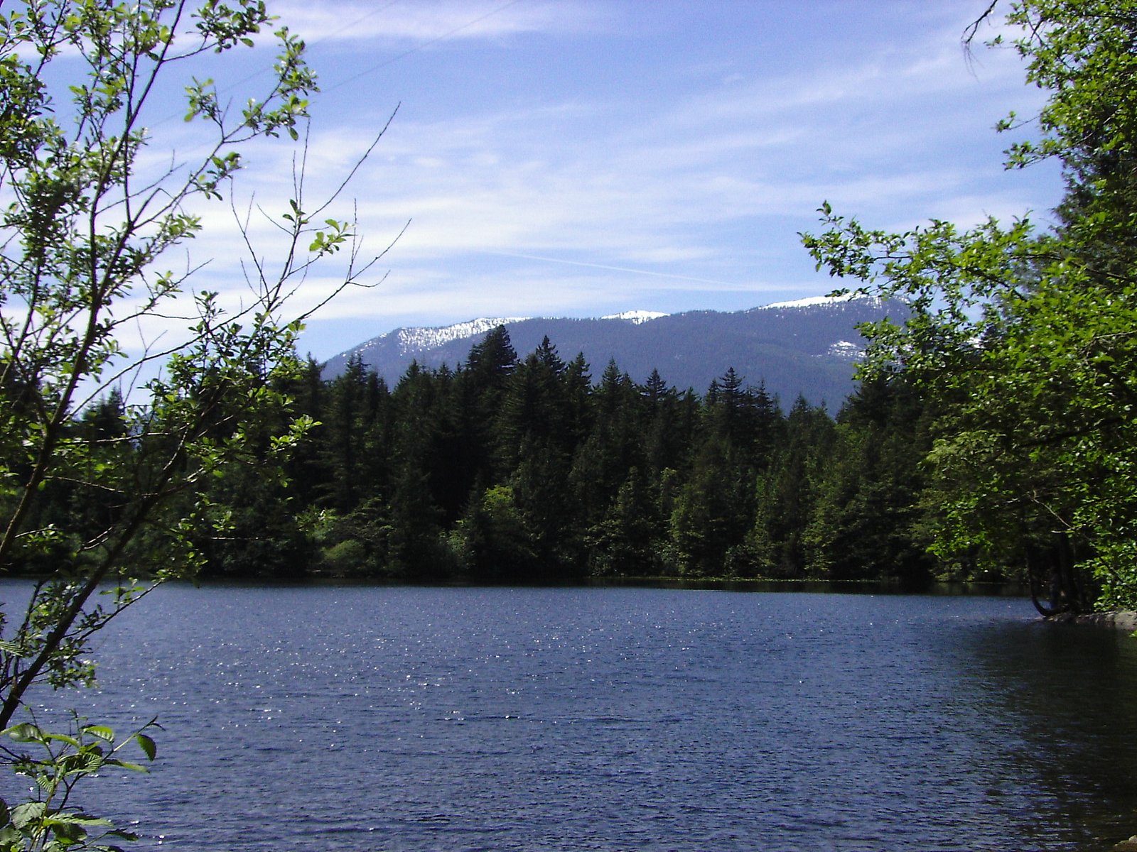
About Magnesia Falls
Magnesia Falls is a scenic waterfall tucked in British Columbia that makes for a refreshing short-hike destination. The falls are reachable via a 2.3-mile out-and-back route that gains about 330 feet of elevation, keeping the overall outing comfortably in the easy category for most hikers. This is a pleasant half-day excursion that pairs well with nearby camping, Magnesia Meadows Camp sits just 3.47 km from the falls, so you can turn the visit into an overnight nature escape. The trail’s gentle climb and the payoff of cascading water make Magnesia Falls a rewarding stop for families and casual hikers alike.
Why This Waterfall Exists
Magnesia Falls flows over hard volcanic rock laid down about 101-145 million years ago. These resistant rocks form a durable ledge that water cannot easily wear away, creating the falls where softer material downstream has already eroded.
Trail & Hike Details
The Approach
The easy 3.7-km out-and-back trail gains 101 metres of elevation on the way to the falls.
Accessibility
The trail is not wheelchair accessible. Uneven terrain and elevation changes require steady footing.
Frequently Asked Questions
🐶 Are Dogs Allowed at Magnesia Falls?
❌ Dogs are not allowed
Are There Any Fees or Permits Required?
🆖 No fees required
🏊 Is There Swimming at Magnesia Falls?
❌ Swimming is not allowed
When to Visit
Current Water Conditions
1.0 m³/s
Current discharge — how much water is flowing
Much lower than usual for this time of year
Based on 13 years of record
1.61 m
Water depth at gauge
7-Day Discharge Trend
What does this mean for your visit?
Flow is well below normal for this time of year, so the waterfall may be a trickle.
About This Gauge
This gauge is on a nearby waterway and may not reflect exact conditions at the falls.
7-Day Flow Outlook
Based on the WSC gauge CAPILANO RIVER ABOVE EASTCAP CREEK (9 km away).
Today
Barely Flowing
0.9 m³/s
5/10Tomorrow
Barely Flowing
1.0 m³/s
4/10Tue
Barely Flowing
1.0 m³/s
4/10Wed
Barely Flowing
1.1 m³/s
4/10Thu
Barely Flowing
0.9 m³/s
4/10Fri
Barely Flowing
0.8 m³/s
4/10Sat
Barely Flowing
0.8 m³/s
3/10Best window: Today — barely flowing flow, sunny (trip score 5/10).
Best time of year: this gauge typically runs highest from mid May to mid June, peaking in November.
How we calculate this
This is a transparent outlook, not a precise forecast. We take the waterfall's current flow strength (how it ranks against its historical normal for today, from the nearest WSC stream gauge), carry that ranking forward along the gauge's seasonal curve, and nudge it for forecast rain. Confidence is highest for the next day or two and falls further out. Always check official conditions and your own judgment before visiting — high flows can be dangerous.
Know when to go.
Get a free email alert when waterfalls near Vancouver hit peak flow. We only send when conditions are worth the trip — no weekly newsletters, no spam.
Weather Forecast
Location & Access
Elevation
201 metres above sea level
Coordinates
49.473831° N, -123.236490° W
Visitor Tips & Gear
As an Amazon Associate, we earn from qualifying purchases.
This easy 3.7 km hike is straightforward — comfortable trail shoes and plenty of water should do.

Columbia Watertight II Rain Jacket
Packs into its own pocket, seam-sealed, and keeps you dry from spray and surprise rain.

Earth Pak Waterproof Dry Bag
Keeps your phone and gear dry when waterfall mist soaks everything else.

Waterproof Phone Pouch (AiRunTech)
Cheap insurance — take photos right next to the falls without killing your phone.

Osprey Daylite Daypack
Light, organized, and just the right size for a day hike — fits water, snacks, and layers.

Columbia Konos TRS Waterproof
Lighter than boots but still waterproof — perfect when the trail is short but you'll get wet.

Nalgene 32oz Water Bottle
Indestructible, leak-proof, and fits in every pack — the default hiker water bottle.
Where to Stay
Browse vacation cabins and private rentals nearby
Unique outdoor stays — tents, yurts, and treehouses
Rent a campervan or RV for your waterfall road trip
Some links are affiliate links. We may earn a commission at no extra cost to you.
Nearby Campground
Magnesia Meadows Camp
3.5 km away
Additional Information
Cities near Magnesia Falls
Nearby Waterfalls
Writing about Magnesia Falls? Embed this waterfall on your site for free.