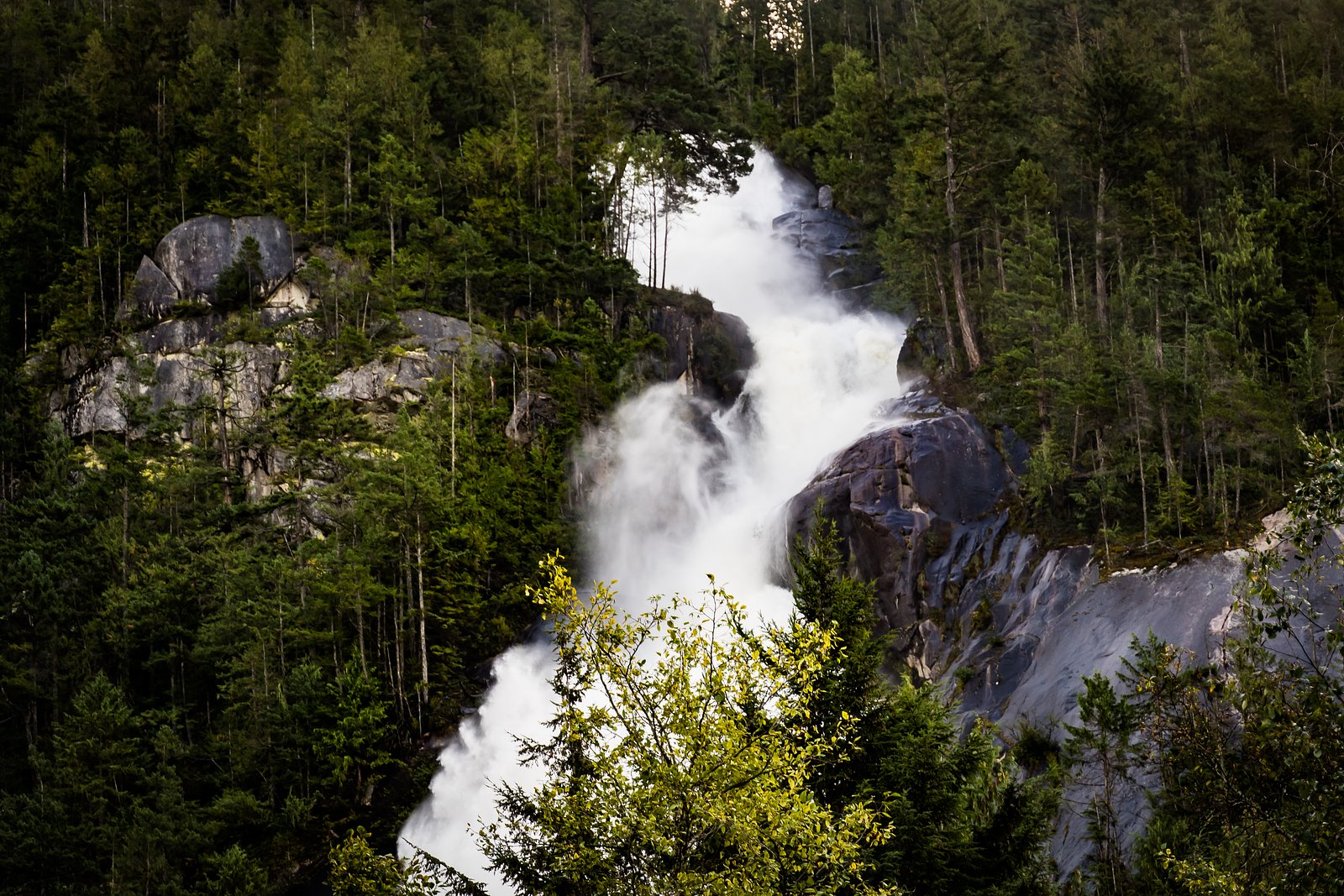
Mineral Creek Falls
British Columbia • 18 m
By Armen Suny · Last verified Jun 2026
Photo Credits (5)
About Mineral Creek Falls
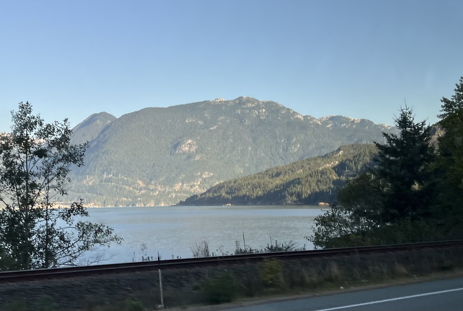
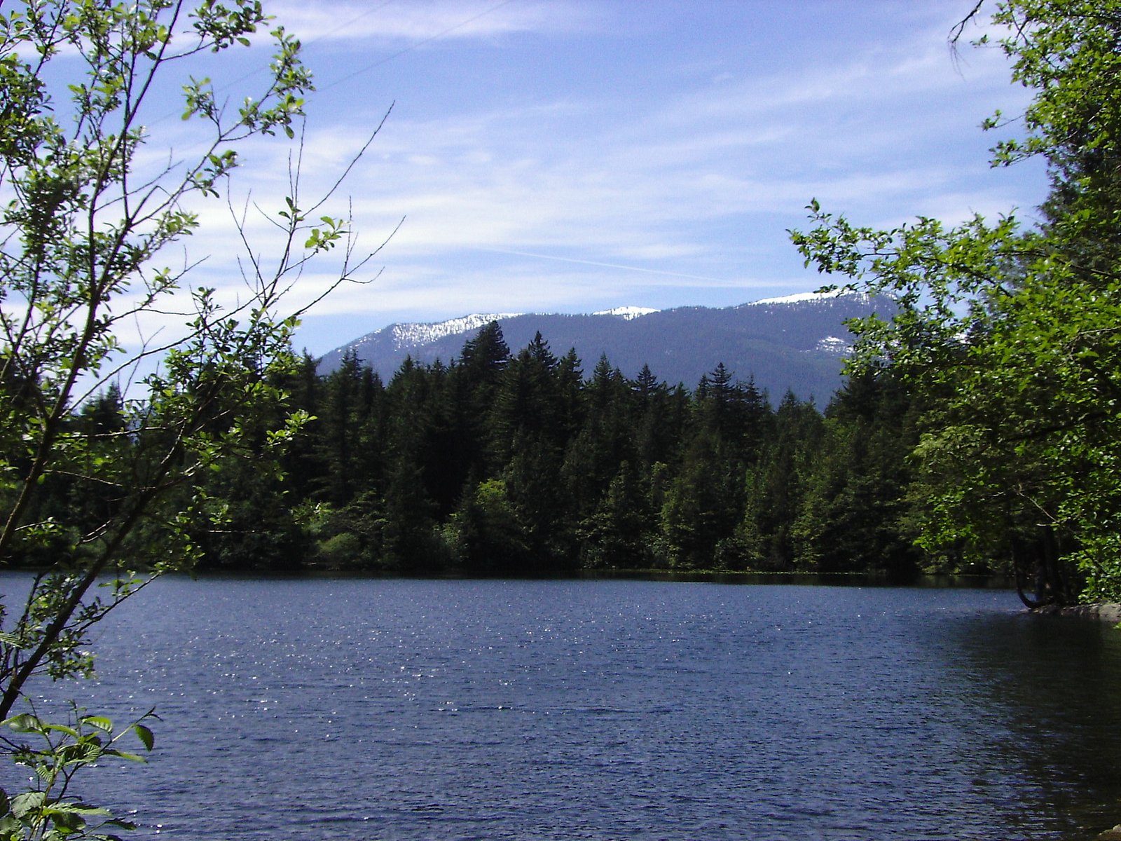
Mineral Creek Falls (coordinates 49.6234, -123.1892) is a coastal temperate-forest waterfall located on the North Shore region near Vancouver, British Columbia. Sources and visitor reports for similarly named falls in the region indicate this is likely a forested cascade or series of drops along a small mountain stream. Flow is typically highest in spring and after heavy rain; access and exact features (single tall drop vs. cascades) appear to vary by season and are not well-documented in major guide databases. Visitors should treat specific details (exact drop count, official viewpoint) as uncertain and verify locally before travel.
The Setting
Mineral Creek Falls sits at 239 metres in the foothills of British Columbia. The falls drop 18 metres.
Why This Waterfall Exists
Mineral Creek Falls flows over hard intrusive rock laid down about 66-101 million years ago. These resistant rocks form a durable ledge that water cannot easily wear away, creating a 59-foot drop where softer material downstream has already eroded.
Nearby Falls Worth Visiting
Shannon Falls (335 m) lies 5.6 kilometres to the northeast. Also nearby: Upper Shannon Falls (7 m, 5.5 km).
Trail & Hike Details
Trail Description
There is no widely published, maintained trail description for Mineral Creek Falls at these coordinates. Based on regional patterns, expect a forested approach that may include muddy or rooty singletrack, short steep sections or scrambles to reach viewpoints, and potentially unmarked junctions. Rock and root exposure and wet, slippery surfaces near the creek are likely. If approaching from a logging road, the final section may be a rough walk over uneven ground.
What to Expect
The falls drop 18 metres over hard intrusive rock.
Accessibility
Likely not wheelchair or stroller accessible. Approach probably involves uneven, muddy, or steep terrain; not suitable for those requiring accessible trails unless confirmed otherwise.
Frequently Asked Questions
🐶 Are Dogs Allowed at Mineral Creek Falls?
❌ Dogs are not allowed
Are There Any Fees or Permits Required?
🆖 No fees required
🏊 Is There Swimming at Mineral Creek Falls?
❌ Swimming is not allowed
When to Visit
Late spring (peak snowmelt and rains) and early fall (after summer rains) for best flow. Summer can be drier and easier for access, but the falls may be reduced. Avoid visiting during or immediately after extreme storms due to risk of high flows, debris, and slippery conditions.
Seasonal Access
The best time to visit is Spring, Summer, and Fall. Winter access may be limited. Check with the managing park or local authority for current conditions.
Safety Information
Potential hazards include slippery rocks and roots, steep or unstable banks, fast or cold water, sudden increases in flow after rain, poor or no cell reception, and seasonal road or trail closures. Use caution near creek edges and below drops; do not climb wet cliffs. If visiting alone, tell someone your route and expected return time. Carry basic emergency supplies and be prepared to turn back if conditions are unsafe.
Current Water Conditions
0.9 m³/s
Current discharge — how much water is flowing
Lower than usual for this time of year
Based on 33 years of record
1.64 m
Water depth at gauge
7-Day Discharge Trend
What does this mean for your visit?
Flow is lower than usual for this time of year.
About This Gauge
7-Day Flow Outlook
Based on the WSC gauge STAWAMUS RIVER AT HIGHWAY NO. 99 (8 km away).
Today
Low
0.9 m³/s
5/10Tomorrow
Low
0.8 m³/s
5/10Tue
Low
0.8 m³/s
5/10Wed
Low
0.8 m³/s
5/10Thu
Low
0.8 m³/s
5/10Fri
Low
0.7 m³/s
5/10Sat
Low
0.9 m³/s
4/10Best window: Today — low flow, cloudy (trip score 5/10).
Best time of year: this gauge typically runs highest from mid April to late June, peaking in May.
How we calculate this
This is a transparent outlook, not a precise forecast. We take the waterfall's current flow strength (how it ranks against its historical normal for today, from the nearest WSC stream gauge), carry that ranking forward along the gauge's seasonal curve, and nudge it for forecast rain. Confidence is highest for the next day or two and falls further out. Always check official conditions and your own judgment before visiting — high flows can be dangerous.
Know when to go.
Get a free email alert when waterfalls near Vancouver hit peak flow. We only send when conditions are worth the trip — no weekly newsletters, no spam.
Weather Forecast
Location & Access
Getting There
The falls are on the North Shore region roughly 20.6 miles by road from downtown Vancouver (user-supplied distances). Public information about an established, signed trail to this specific named waterfall is limited. Access may require travel on secondary or forest/logging roads and a short to moderate off-trail approach. Expect limited or no signage; use the provided coordinates in a reliable mapping app and confirm access with local land managers or recent trip reports before attempting.
Get Directions on Google MapsParking
Parking details are not clearly documented for this specific site. Likely options include roadside parking at a trailhead or an informal pullout on a secondary road. Park legally and avoid blocking gates or private driveways. If unsure, select established parking areas for nearby public trails and hike in from there.
Elevation
239 metres above sea level
Coordinates
49.623357° N, -123.189179° W
Visitor Tips & Gear
1) Use the exact coordinates and recent trip reports or local forums to confirm current access. 2) Wear sturdy footwear with good traction; approach creek edges with caution. 3) Expect poor or no signage, bring a GPS or offline map and a compass. 4) Parking may be informal; do not block gates or private property. 5) Leave no trace: pack out all trash. 6) Check for seasonal road or trail closures and respect any posted notices or private land signs.
Where to Stay
Browse vacation cabins and private rentals nearby
Unique outdoor stays — tents, yurts, and treehouses
Rent a campervan or RV for your waterfall road trip
Some links are affiliate links. We may earn a commission at no extra cost to you.
Nearby Campground
Seal Cove Dispersed Site
2.3 km away
Additional Information
Nearby Attractions
This site is on the North Shore / Sea-to-Sky region; depending on the exact local access route, nearby well-known attractions in the broader area can include North Shore parks and trails, Grouse Mountain, Lynn Canyon and Capilano-area trails, and the Sea-to-Sky corridor toward Squamish. Verify which attractions are relevant to your exact starting point.
Wildlife
Typical coastal British Columbia wildlife may be present: black bears, coyotes, deer, small mammals and a variety of birds. Practice food storage, keep dogs under control, and be aware of wildlife activity.
Cities near Mineral Creek Falls
Nearby Waterfalls
Writing about Mineral Creek Falls? Embed this waterfall on your site for free.