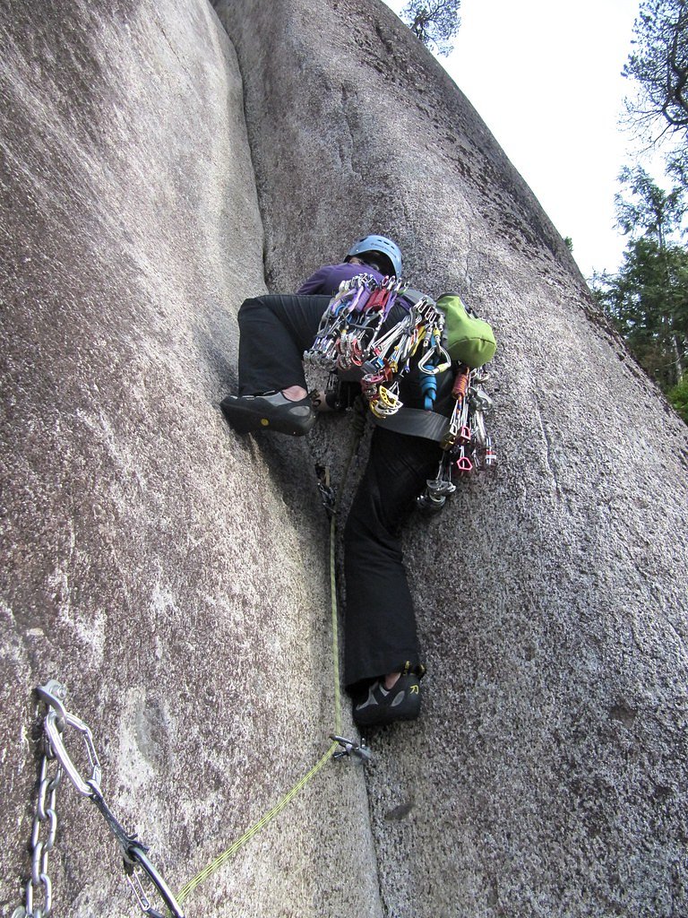
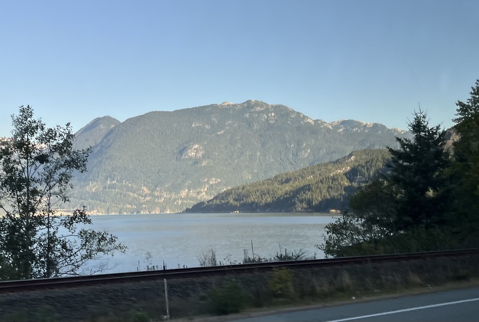
Photo Credits (5)
About Crack Falls
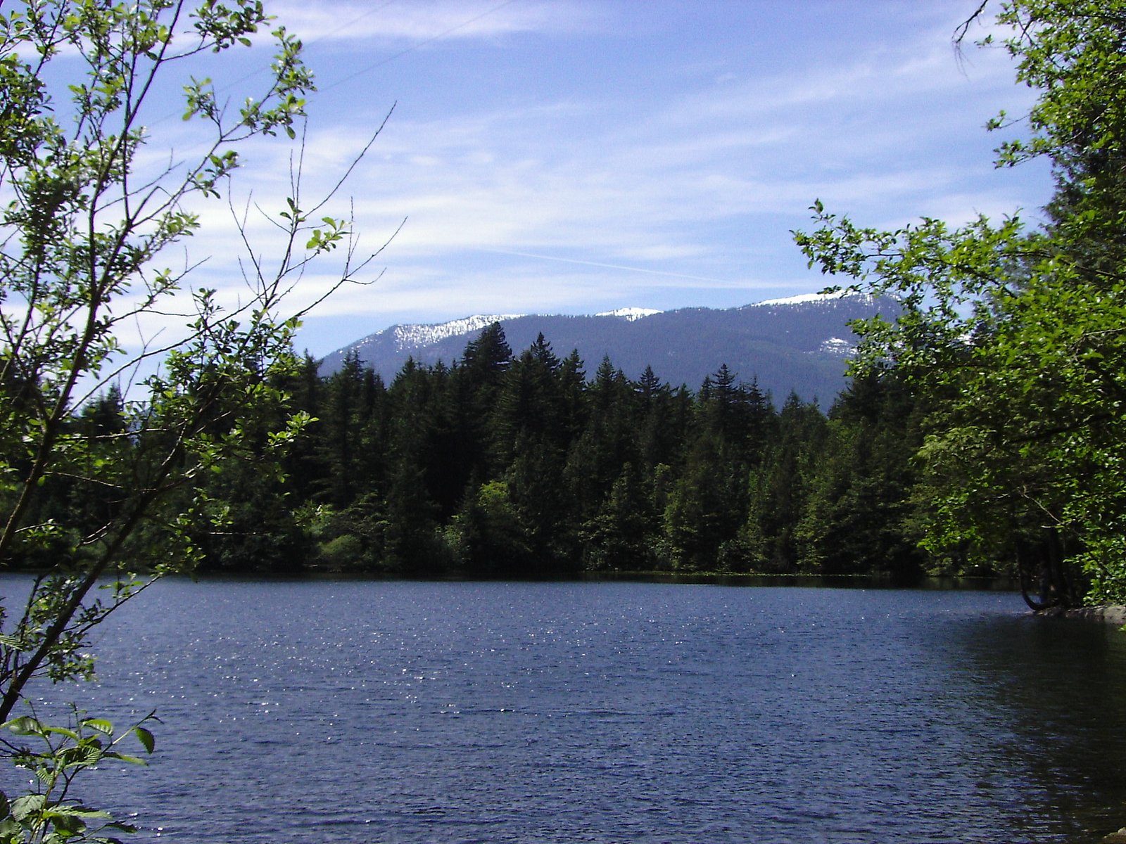
Crack Falls is a lesser-known waterfall near the north shore of the Greater Vancouver area (coordinates 49.5816, -123.2168). It appears to be a small to medium cascade set in forested terrain and may be seasonal or variable in flow depending on rainfall and snowmelt. There is limited published information from major guide sources, so access routes and exact features are not well documented publicly. Visitors should expect a more backcountry, informal experience rather than developed park infrastructure.
Why This Waterfall Exists
Crack Falls flows over hard intrusive rock laid down about 66-145 million years ago. These resistant rocks form a durable ledge that water cannot easily wear away, creating the falls where softer material downstream has already eroded.
Nearby Falls Worth Visiting
Mineral Creek Falls (18 m) lies 5.0 kilometres to the northeast.
Trail & Hike Details
Trail Description
There is limited verified trail information for Crack Falls. Reports and mapping references are scarce, suggesting the route may be an unmaintained footpath or informal scramble rather than a developed trail. Expect variable underfoot conditions (rooted, rocky, muddy) and potentially steep sections near the falls. Route finding may be required; plan as if you are walking off-trail in forested terrain.
What to Expect
A wooded setting with a cascade or tiered falls. Flow may be strongest in late winter and spring (rain and snowmelt), and lower in late summer. Approaches may be over uneven, slippery ground with exposed rock and roots. Limited facilities (no toilets, benches, or railings) are expected. Cell coverage may be spotty in forested gullies.
Accessibility
Likely not wheelchair or stroller accessible. Approaches are probably over uneven, natural terrain and may include steep or slippery sections.
Frequently Asked Questions
🐶 Are Dogs Allowed at Crack Falls?
❌ Dogs are not allowed
Are There Any Fees or Permits Required?
🆖 No fees required
🏊 Is There Swimming at Crack Falls?
❌ Swimming is not allowed
When to Visit
Late winter to spring for highest flows (after rain and snowmelt). Early summer can be pleasant for access and weather, though flows may be reduced. Avoid visiting after heavy rain if concerned about steep, slippery approaches or potential flashy stream conditions.
Seasonal Access
The best time to visit is Spring, Summer, and Fall. Winter access may be limited. Check with the managing park or local authority for current conditions.
Safety Information
Treat this site as a backcountry visit: expect variable and potentially steep terrain, slippery rocks near the falls, and limited or no facilities. Flow can increase rapidly during heavy rain; avoid unstable banks and cliff edges. Cell coverage may be unreliable, carry navigation aids and inform someone of your plan. If uncertain about route or conditions, choose a more established nearby waterfall or trail. Exercise caution during winter and icy conditions.
Current Water Conditions
0.9 m³/s
Current discharge — how much water is flowing
Lower than usual for this time of year
Based on 33 years of record
1.64 m
Water depth at gauge
7-Day Discharge Trend
What does this mean for your visit?
Flow is lower than usual for this time of year.
About This Gauge
This gauge is on a nearby waterway and may not reflect exact conditions at the falls.
7-Day Flow Outlook
Based on the WSC gauge STAWAMUS RIVER AT HIGHWAY NO. 99 (13 km away).
Today
Low
0.9 m³/s
5/10Tomorrow
Low
0.8 m³/s
5/10Tue
Low
0.8 m³/s
5/10Wed
Low
0.8 m³/s
5/10Thu
Low
0.8 m³/s
5/10Fri
Low
0.7 m³/s
5/10Sat
Low
0.9 m³/s
4/10Best window: Today — low flow, cloudy (trip score 5/10).
Best time of year: this gauge typically runs highest from mid April to late June, peaking in May.
How we calculate this
This is a transparent outlook, not a precise forecast. We take the waterfall's current flow strength (how it ranks against its historical normal for today, from the nearest WSC stream gauge), carry that ranking forward along the gauge's seasonal curve, and nudge it for forecast rain. Confidence is highest for the next day or two and falls further out. Always check official conditions and your own judgment before visiting — high flows can be dangerous.
Know when to go.
Get a free email alert when waterfalls near Vancouver hit peak flow. We only send when conditions are worth the trip — no weekly newsletters, no spam.
Weather Forecast
Location & Access
Getting There
Crack Falls is located roughly 19.7 miles (approx. 32 km) north of central Vancouver and within the coastal forested hills north of the city (user-provided coordinates 49.5816, -123.2168). Exact trailhead locations are not well documented in mainstream guides. Access may require driving on local/forestry roads and a short unmarked walk; public transit is unlikely to be practical. If you plan to visit, use the coordinates in a reliable GPS app, check up-to-date local maps, and confirm access with regional park or municipal authorities where relevant.
Get Directions on Google MapsParking
There may be no formal parking lot. Expect limited roadside pullouts or informal parking near nearby trailheads or forestry road turnouts. Park legally and avoid blocking gates or driveways. If visiting a regional or municipal park nearby, use designated parking areas.
Elevation
58 metres above sea level
Coordinates
49.581585° N, -123.216838° W
Visitor Tips & Gear
1) Use the provided coordinates and an up-to-date map or GPS; trails may be unmarked. 2) Wear sturdy, waterproof footwear with good traction, rocks and mud can be slippery. 3) Bring layers and rain protection; Coastal BC weather can change rapidly. 4) Park legally and avoid private property; if in doubt, check with local park authorities. 5) Travel with a partner when possible and tell someone your plans. 6) Leave no trace: pack out waste and avoid disturbing vegetation. 7) Be cautious around the water and cliff edges; wet rock is hazardous.
Where to Stay
Browse vacation cabins and private rentals nearby
Unique outdoor stays — tents, yurts, and treehouses
Rent a campervan or RV for your waterfall road trip
Some links are affiliate links. We may earn a commission at no extra cost to you.
Nearby Campground
Zorro Bay Marine Site
3.8 km away
Additional Information
Nearby Attractions
Greater Vancouver attractions (city and regional parks) are within driving distance. Specific named nearby attractions are not well documented for this exact coordinate; consult local trail resources or regional park maps for confirmed nearby sites.
Wildlife
Typical coastal-forest wildlife may be present: black-tailed deer, small mammals, a variety of birds, and occasionally black bears. Cougar sightings are rare but possible in regional forested areas. Take normal wildlife precautions (store food securely, keep distance, make noise on approach).
Cities near Crack Falls
Nearby Waterfalls
Writing about Crack Falls? Embed this waterfall on your site for free.