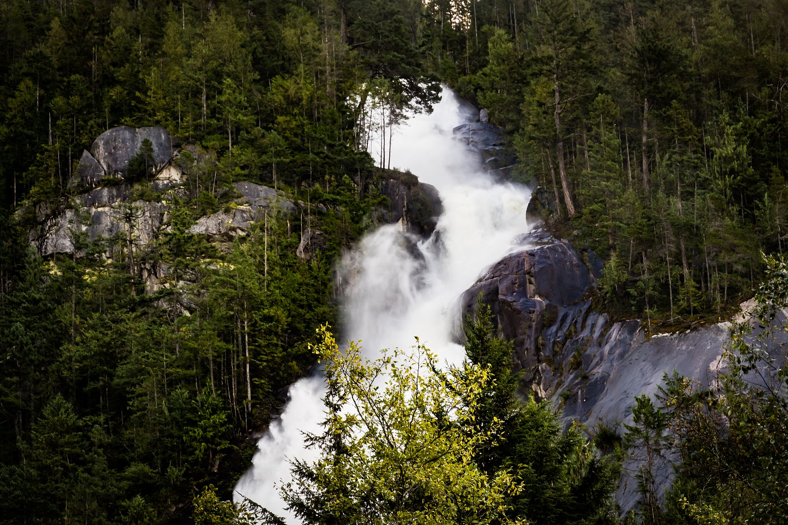
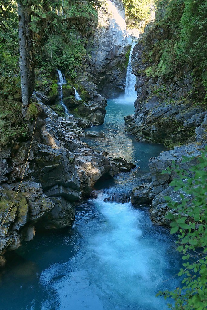
Olesen Creek Falls
By Armen Suny · Last verified Jun 2026
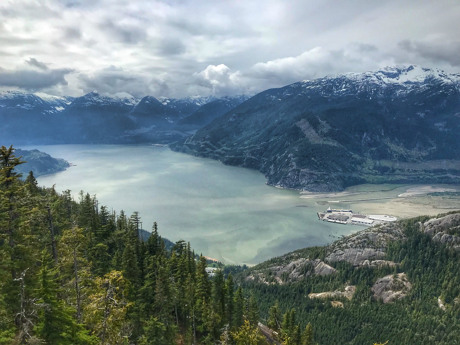
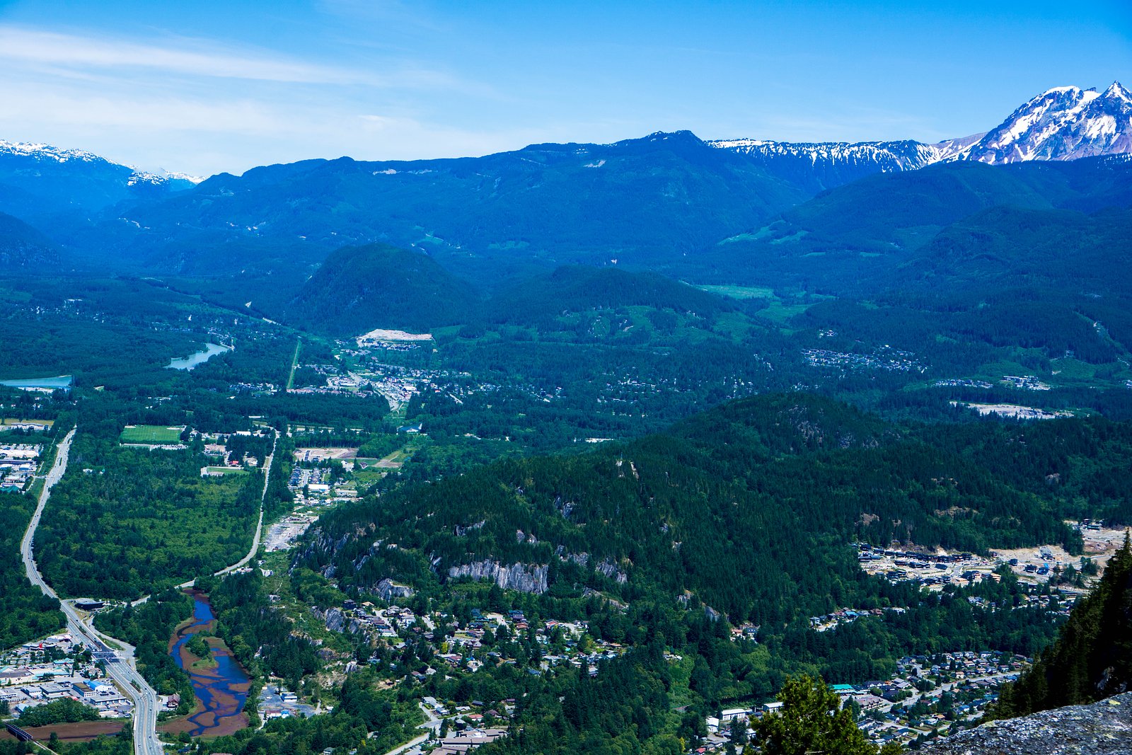
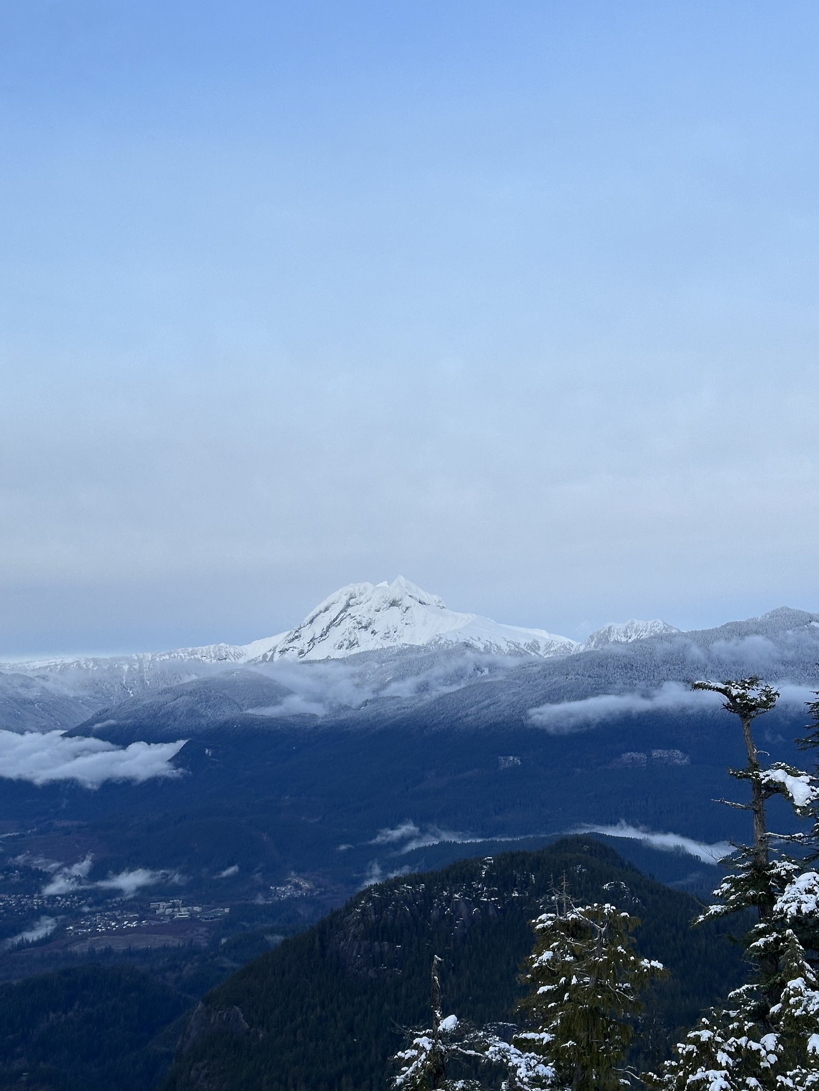
Photo Credits (5)
Difficulty
Easy
Trail Length
1.4 km
Trail Type
Out And Back
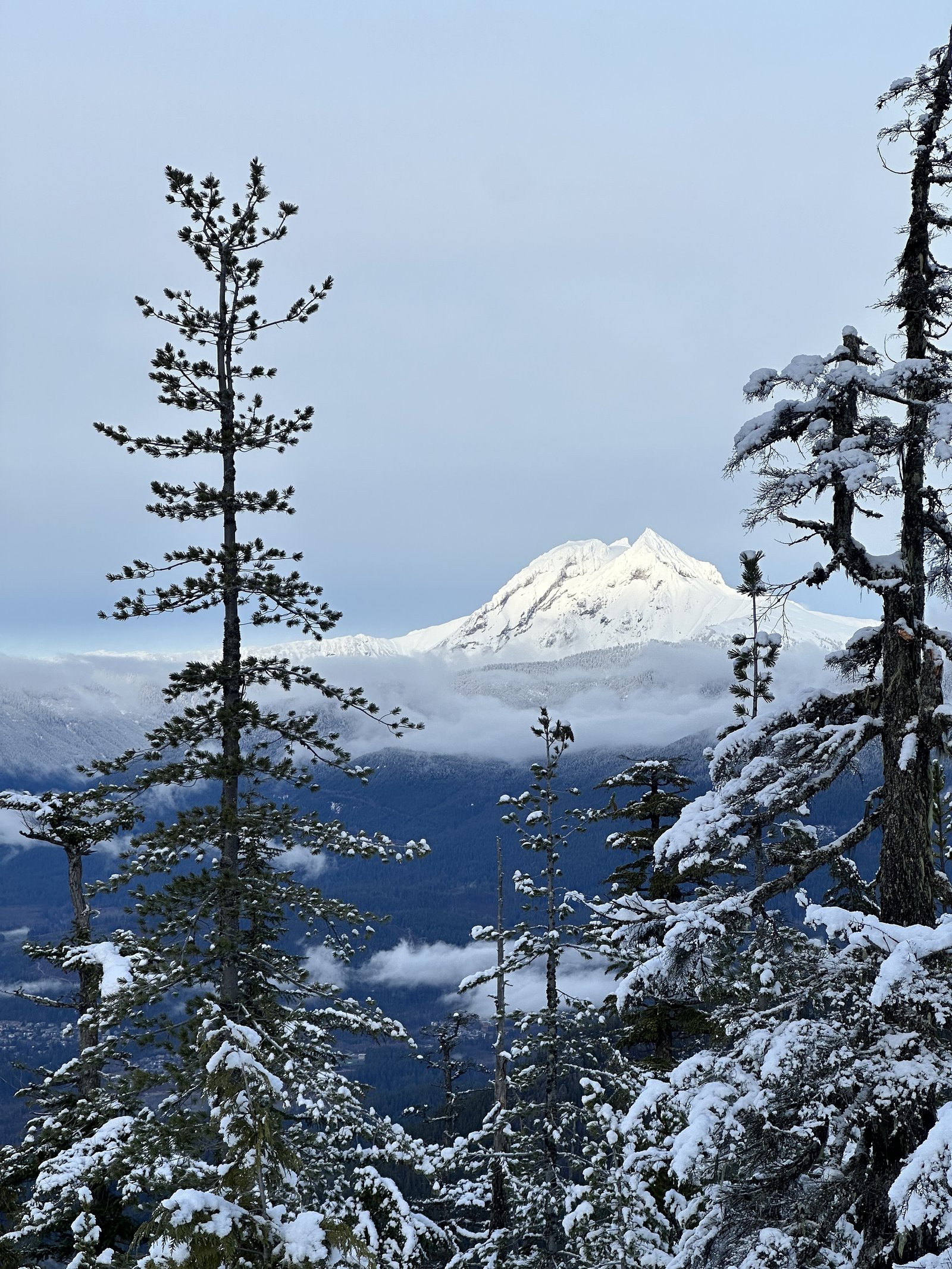
About Olesen Creek Falls
Olesen Creek Falls is a small, likely seasonal cascade on Olesen Creek in the lower mainland of British Columbia. The falls sit at coordinates 49.6787, -123.1258 and are within driving distance of Vancouver, Point Roberts and Blaine. Public information on this specific feature is limited; accounts suggest a forested, creekside setting with one or more short tiers rather than a single high drop. Water flow is likely highest in spring and after heavy rains and lower in late summer and early fall.
Why This Waterfall Exists
Olesen Creek Falls flows over hard intrusive rock laid down about 66-101 million years ago. These resistant rocks form a durable ledge that water cannot easily wear away, creating the falls where softer material downstream has already eroded.
Nearby Falls Worth Visiting
Shannon Falls (335 m) lies 2.4 kilometres to the west. Also nearby: Mamquam Falls (19 m, 5.3 km) and Upper Shannon Falls (7 m, 2.4 km).
Trail & Hike Details
Trail Description
There is no well-documented, maintained trail to Olesen Creek Falls in widely available sources. Approaches reported for similar small creek waterfalls in this region often involve short, unmarked paths, creek crossings, or light bushwhacking through second-growth forest. Trail conditions may include muddy or steep sections, downed trees, and slippery terrain near the water. Because official signage and markings are not confirmed, treat the route as an unmaintained natural access.
What to Expect
A modest creek cascade in a forested setting. Expect variable flow, higher in spring and after storms, lower in late summer. Banks and rocks near the falls will be slippery; there may be no viewpoints or safety rails. Little to no visitor infrastructure (benches, viewpoints, formal trails) is expected. Cell reception may be intermittent depending on your carrier and exact location.
Accessibility
The trail is short and relatively flat, but the surface may be uneven. Contact the managing agency for accessibility details.
Frequently Asked Questions
🐶 Are Dogs Allowed at Olesen Creek Falls?
❌ Dogs are not allowed
Are There Any Fees or Permits Required?
🆖 No fees required
🏊 Is There Swimming at Olesen Creek Falls?
❌ Swimming is not allowed
When to Visit
Spring (snowmelt and seasonal rains) for the most robust flow. Late spring to early summer balances flow with easier, less-muddy access. Late summer may have lower flows but often drier walking conditions.
Seasonal Access
The best time to visit is Spring, Summer, and Fall. Winter access may be limited. Check with the managing park or local authority for current conditions.
Safety Information
Hazards may include slippery rocks, steep or unstable banks, sudden changes in water flow after storms, downed timber, and unmarked terrain. There may be private property near the creek, respect posted signs and obtain permission if necessary. Cell service may be spotty; tell someone your route and expected return time. Use conservative judgment in wet or icy conditions.
Current Water Conditions
0.9 m³/s
Current discharge — how much water is flowing
Lower than usual for this time of year
Based on 33 years of record
1.64 m
Water depth at gauge
7-Day Discharge Trend
What does this mean for your visit?
Flow is lower than usual for this time of year.
About This Gauge
7-Day Flow Outlook
Based on the WSC gauge STAWAMUS RIVER AT HIGHWAY NO. 99 (2 km away).
Today
Low
0.9 m³/s
6/10Tomorrow
Low
0.8 m³/s
5/10Tue
Low
0.8 m³/s
5/10Wed
Low
0.8 m³/s
5/10Thu
Low
0.8 m³/s
5/10Fri
Low
0.7 m³/s
5/10Sat
Low
0.9 m³/s
4/10Best window: Today — low flow, sunny (trip score 6/10).
Best time of year: this gauge typically runs highest from mid April to late June, peaking in May.
How we calculate this
This is a transparent outlook, not a precise forecast. We take the waterfall's current flow strength (how it ranks against its historical normal for today, from the nearest WSC stream gauge), carry that ranking forward along the gauge's seasonal curve, and nudge it for forecast rain. Confidence is highest for the next day or two and falls further out. Always check official conditions and your own judgment before visiting — high flows can be dangerous.
Know when to go.
Get a free email alert when waterfalls near Vancouver hit peak flow. We only send when conditions are worth the trip — no weekly newsletters, no spam.
Weather Forecast
Location & Access
Getting There
Coordinates: 49.6787, -123.1258. The falls are roughly 20–40 miles (driving distances vary) from nearby population centers (user-provided distances: Vancouver 21.3 miles, Point Roberts 36.6 miles, Blaine 50.2 miles). Expect a drive on local roads to a roadside parking area or pullout close to the creek. Exact public trailheads or official approach routes are not well documented; consult local maps, municipal park pages, or recent visitor reports (AllTrails, local hiking groups) before visiting.
Get Directions on Google MapsParking
No confirmed formal parking lot is documented. Visitors should expect limited roadside parking or an informal pullout. Park legally, avoid blocking private driveways, and be prepared to walk from the road. If access is through a park, follow posted parking rules.
Elevation
683 metres above sea level
Coordinates
49.678698° N, -123.125774° W
Visitor Tips & Gear
• Check recent trip reports (AllTrails, local hiking forums, or municipal park pages) for up-to-date access and route information before you go. • Wear sturdy footwear with good traction; expect mud and wet rocks. • Treat the approach as an unmarked or lightly marked route, bring a map, GPS coordinate, and know how to navigate. • If parking roadside, do not block private property or emergency access. • Leave no trace: pack out all trash and avoid disturbing vegetation or stream banks. • Be cautious near the water; slippery rocks and undercut banks are common hazards.
Where to Stay
Browse vacation cabins and private rentals nearby
Unique outdoor stays — tents, yurts, and treehouses
Rent a campervan or RV for your waterfall road trip
Some links are affiliate links. We may earn a commission at no extra cost to you.
Nearby Campground
Stawamus Chief Campground
2.1 km away
Additional Information
Nearby Attractions
General attractions in the Lower Mainland near the coordinate area include regional parks, rivers and other small creeks. Specific nearby named attractions are not confirmed for this exact coordinate, consult local recreation maps for parks, viewpoints, and trails in the municipality nearest the coordinates.
Wildlife
Typical lower mainland fauna may include black-tailed deer, coyotes, small mammals (squirrels, raccoons), a variety of bird species, and possibly black bears in less urbanized zones. Be aware of common coastal BC hazards such as ticks. Pack out food and follow wildlife-safety guidelines.
Cities near Olesen Creek Falls
Nearby Waterfalls
Writing about Olesen Creek Falls? Embed this waterfall on your site for free.