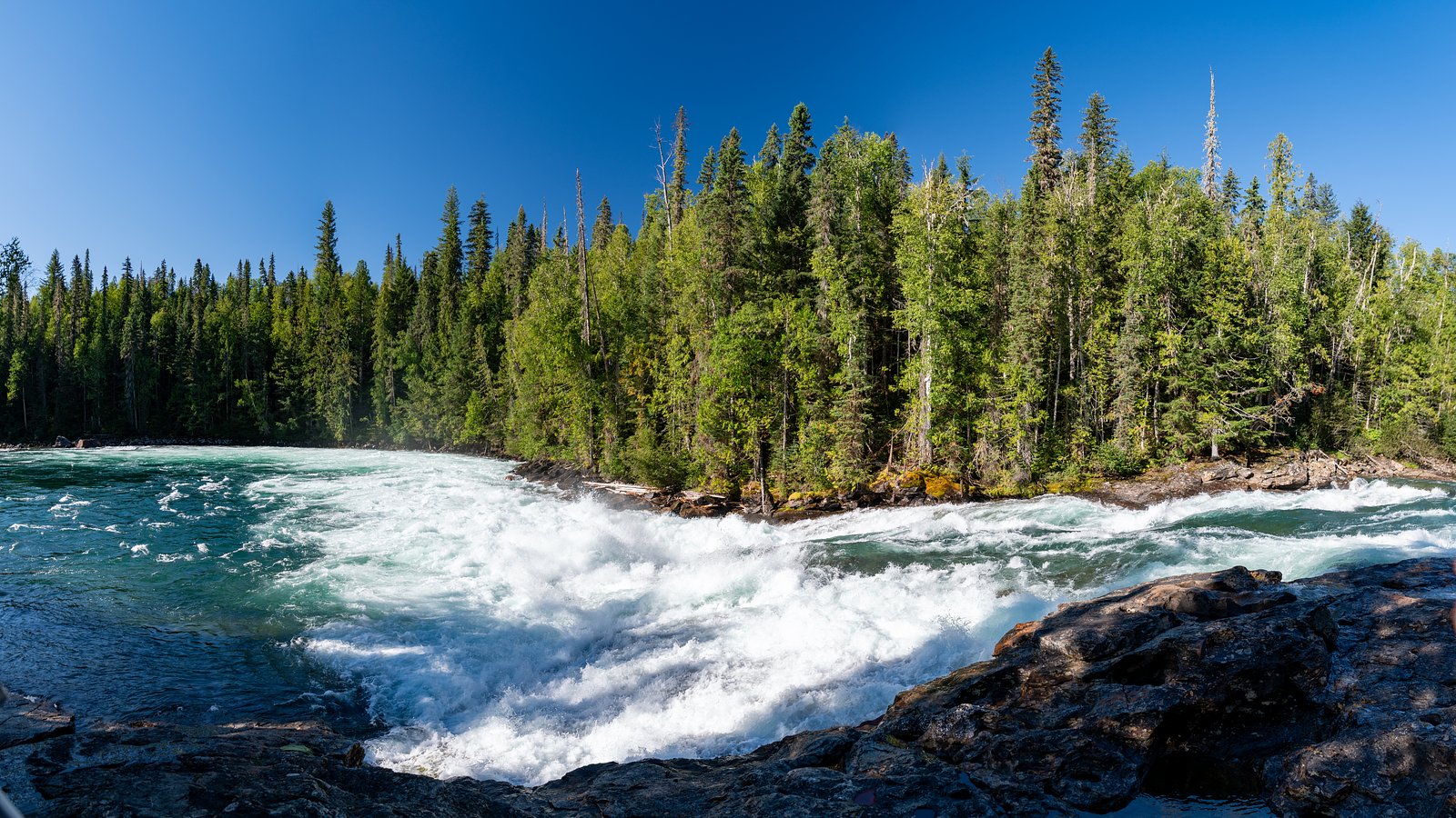
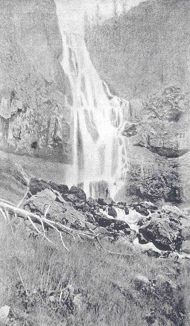
Myanth Falls
British Columbia • Wells Gray Park
By Armen Suny · Last verified Jun 2026
Difficulty
Easy
Trail Length
5.3 km
Trail Type
Loop
Elevation Gain
55 m
About Myanth Falls
Myanth Falls is a lesser-known waterfall in the central interior of British Columbia (coordinates: 52.0855, -120.2023). It appears to be in a remote, forested portion of the Cariboo/Chilcotin region. Official, widely published trail or park information for this specific waterfall is limited; access may require travel on unpaved forest or logging roads and some off-trail travel. Waterflow is likely seasonal, higher in spring/early summer from snowmelt and lower by late summer/fall. Visitors should treat route and conditions as unmaintained unless they find a recent trip report indicating otherwise.
The Setting
Myanth Falls sits at 657 metres within Wells Gray Park, in the hills of British Columbia.
Why This Waterfall Exists
Myanth Falls flows over layered sedimentary rock laid down about 252 million to 1.0 billion years ago. Over time, the stream has worn through these layers at different rates, creating the step that forms the waterfall.
Nearby Falls Worth Visiting
Bailey's Chute (10 m) lies 1.8 kilometres to the southeast. Also nearby: Marcus Falls (5 m, 1.3 km) and Osprey Falls (5 m, 6.1 km).
Trail & Hike Details
The Approach
The easy 5.3-km loop trail gains 55 metres of elevation on the way to the falls.
Trail Description
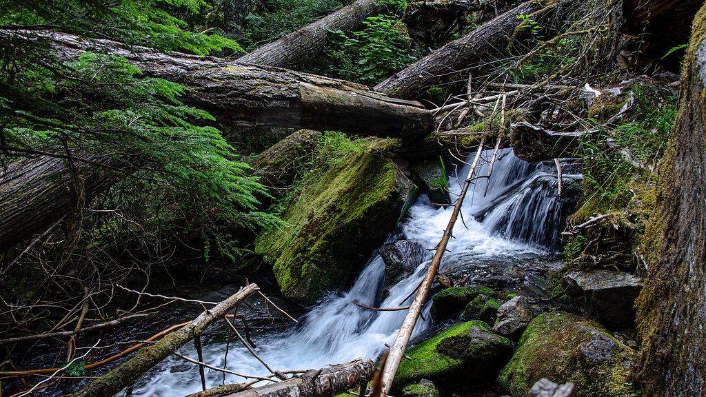
There is limited verified information about an established maintained trail to Myanth Falls. Visitors should expect either no defined trail or an intermittently-used route that may require route-finding and bushwhacking through forested terrain. Terrain could include steep approaches, downed timber, and wet/slippery surfaces near the stream. If you prefer an established maintained trail, consider searching for recent trip reports or local guide resources before attempting the visit.
What to Expect
Expect a remote setting with forested surroundings typical of the Cariboo/Chilcotin interior: spruce, fir, and mixed underbrush. Water flow will vary seasonally, highest in spring and early summer from snowmelt, lower by late summer. Near the falls expect wet, mossy rock, slippery surfaces, and possibly steep drop-offs. Facilities (toilets, maintained viewpoints, signage) are unlikely. Cell coverage may be intermittent or absent. Wildlife in the area can include black bears, moose, deer, wolves, and smaller mammals and birds; insect activity (mosquitoes, black flies) can be heavy in spring/summer.
Accessibility
The trail is not wheelchair accessible. Uneven terrain and elevation changes require steady footing.
Frequently Asked Questions
🐶 Are Dogs Allowed at Myanth Falls?
❌ Dogs are not allowed
Are There Any Fees or Permits Required?
🆖 No fees required
🏊 Is There Swimming at Myanth Falls?
❌ Swimming is not allowed
When to Visit
Late spring to early summer (May–June) for the strongest flows from snowmelt and comfortable temperatures. Late summer to early fall (August–September) may offer lower flows but drier access on forest roads. Winter access may be difficult or hazardous due to snow, ice, and closed roads.
Seasonal Access
The best time to visit is Spring, Summer, and Fall. Winter access may be limited. Check with Wells Gray Park for current conditions.
Safety Information
This is a remote location with limited verified visitor infrastructure. Hazards include: unstable or slippery rocks near the waterfall, steep drop-offs, rapidly changing weather, seasonal high flows or flashiness after heavy rain, limited or no cell coverage, and hazardous forest service/logging roads. Always check road conditions before travel, notify someone of your plans, carry emergency supplies, and be prepared to turn back if conditions are unsafe.
Current Water Conditions
Based on a Water Survey of Canada gauge 48.7 km away
382.0 m³/s
Current discharge — how much water is flowing
About average for this time of year
Based on 87 years of record
3.70 m
Water depth at gauge
7-Day Discharge Trend
What does this mean for your visit?
Flow is about average for this time of year.
About This Gauge
This gauge is on a regional waterway. Conditions at the falls may differ, especially after local rain.
7-Day Flow Outlook
Based on the WSC gauge CLEARWATER RIVER NEAR CLEARWATER STATION (49 km away).
Today
Moderate
430 m³/s
4/10Tomorrow
Moderate
402 m³/s
8/10Tue
Moderate
373 m³/s
8/10Wed
Moderate
360 m³/s
6/10Thu
Moderate
347 m³/s
6/10Fri
Moderate
366 m³/s
5/10Sat
Moderate
385 m³/s
4/10Best window: Tomorrow — moderate flow, mainly sunny (trip score 8/10).
Best time of year: this gauge typically runs highest from early May to early August, peaking in June.
How we calculate this
This is a transparent outlook, not a precise forecast. We take the waterfall's current flow strength (how it ranks against its historical normal for today, from the nearest WSC stream gauge), carry that ranking forward along the gauge's seasonal curve, and nudge it for forecast rain. Confidence is highest for the next day or two and falls further out. Always check official conditions and your own judgment before visiting — high flows can be dangerous.
Weather Forecast
Location & Access
Getting There
The falls are located at the provided coordinates in the central BC interior. Access typically requires driving on secondary/forest service or logging roads; a high-clearance, preferably 4x4 vehicle is often recommended for these roads. Expect minimal signage. Use detailed maps, up-to-date Forest Service road reports, and GPS coordinates to navigate. Plan for limited or no cell service in the area.
Get Directions on Google MapsParking
There is likely no formal parking lot. Expect a roadside pullout or informal parking area on a widened shoulder or small logging-road clearing. Park well off the road and avoid blocking gates or active logging entrances. If uncertain, return to the nearest town for guidance before proceeding.
Elevation
657 metres above sea level
Coordinates
52.085451° N, -120.202311° W
Land Management
Managed by Government of British Columbia
Visitor Tips & Gear
1) Confirm current road and access conditions with local Forest Service or recent trip reports before you go. 2) Use GPS coordinates and a topographic map; bring a compass. 3) Travel with a high-clearance vehicle and spare tire; carry extra fuel and supplies. 4) Tell someone your route and expected return time. 5) Wear sturdy waterproof boots with good traction for wet, slippery rock. 6) Carry bear spray and know how to use it; make noise when traveling through dense forest. 7) Avoid approaching the edge of the falls or wet ledges; rocks can be extremely slippery. 8) Pack out all garbage and avoid disturbing vegetation and wildlife.
As an Amazon Associate, we earn from qualifying purchases.
This easy 5.3 km hike is straightforward — comfortable trail shoes and plenty of water should do. Sun exposure on the trail makes good sun protection a must in summer.

Columbia Watertight II Rain Jacket
Packs into its own pocket, seam-sealed, and keeps you dry from spray and surprise rain.

Earth Pak Waterproof Dry Bag
Keeps your phone and gear dry when waterfall mist soaks everything else.

Waterproof Phone Pouch (AiRunTech)
Cheap insurance — take photos right next to the falls without killing your phone.

Sawyer Squeeze Water Filter
The backcountry standard — filters 99.9% of bacteria and weighs just 3 oz.

Polarized Sunglasses (Knockaround)
Cuts glare off the water so you actually see the falls — and your photos turn out better too.

Osprey Daylite Daypack
Light, organized, and just the right size for a day hike — fits water, snacks, and layers.
Where to Stay
Browse vacation cabins and private rentals nearby
Unique outdoor stays — tents, yurts, and treehouses
Rent a campervan or RV for your waterfall road trip
Some links are affiliate links. We may earn a commission at no extra cost to you.
Nearby Campground
Falls Creek Campground
5.5 km away
Additional Information
Nearby Attractions
The falls are in the central interior region of British Columbia. Nearby points of interest in the broader region can include Cariboo and Chilcotin landscapes, backcountry rivers and lakes, and provincial parks in the wider area; exact nearby attractions and distances should be confirmed with local maps and visitor centres for accuracy.
Wildlife
Black bears and moose are possible in this region, along with deer, wolves, cougars, smaller mammals, and diverse birdlife. Insect activity (mosquitoes, black flies) can be significant in spring and early summer. Use standard wildlife safety precautions: store food securely, travel in groups if possible, carry bear spray, and keep dogs close.
Nearby Waterfalls

Writing about Myanth Falls? Embed this waterfall on your site for free.