Lower Cypress Falls
By Armen Suny · Last verified Jun 2026
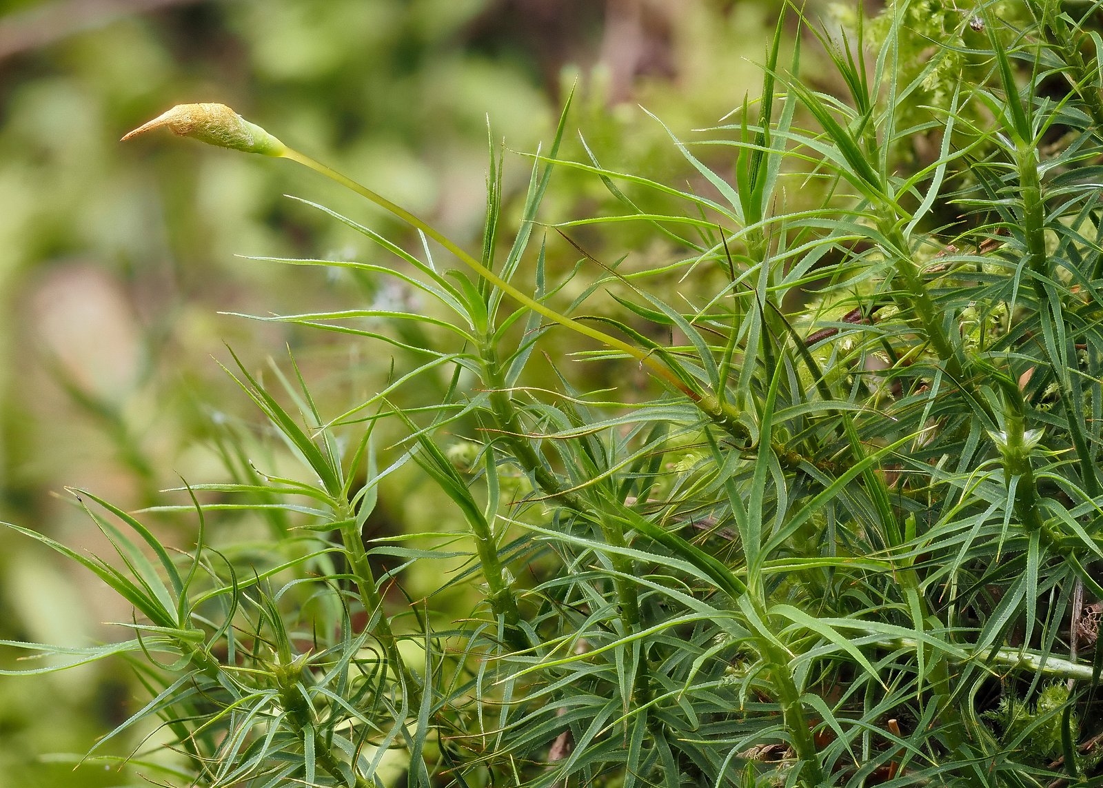
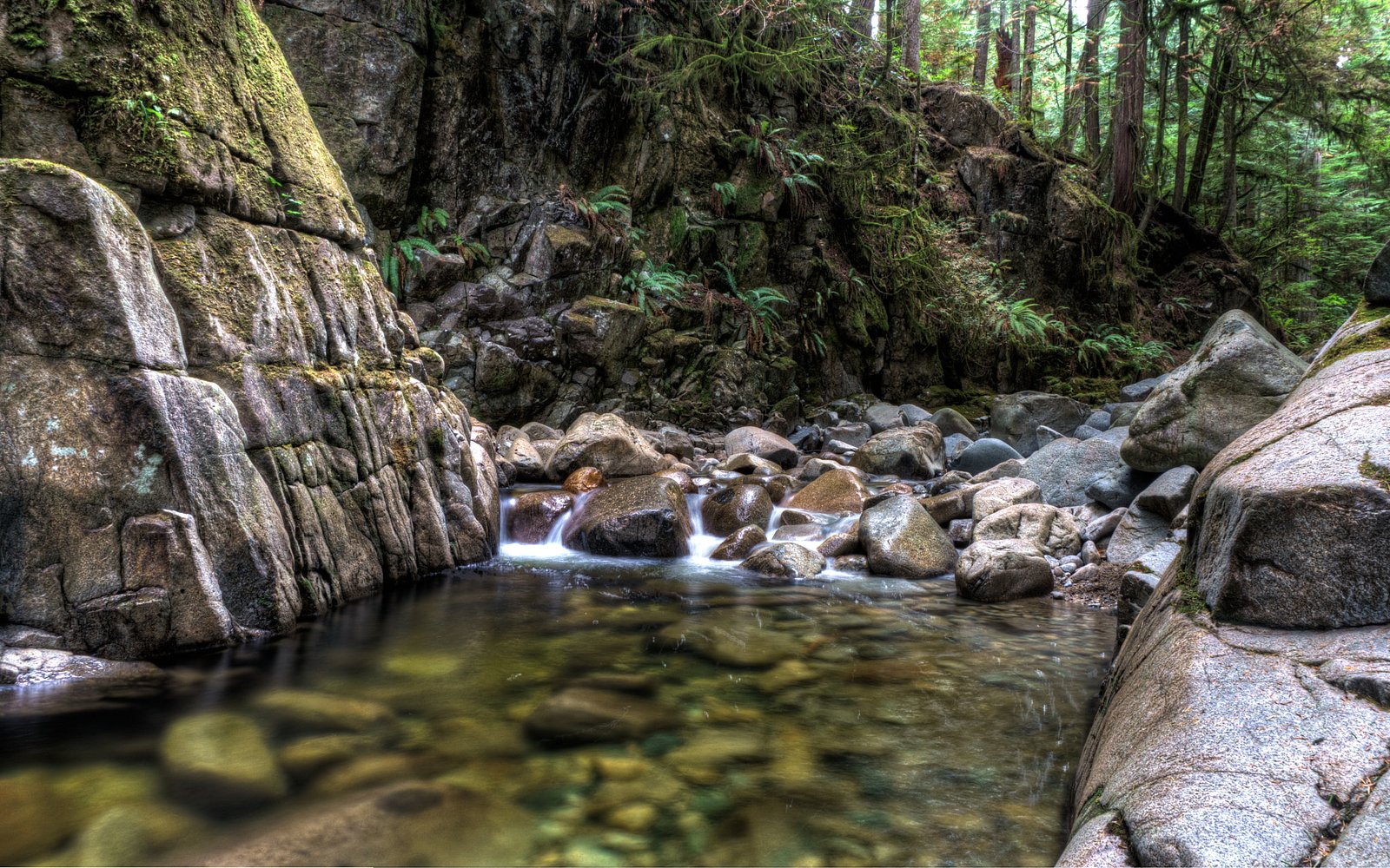
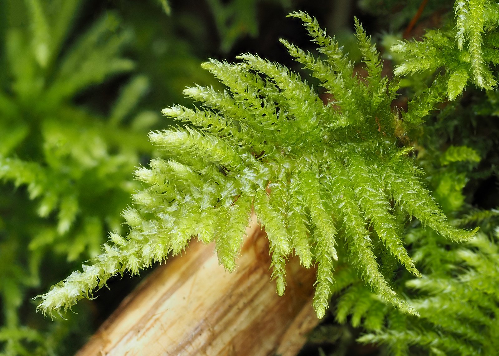
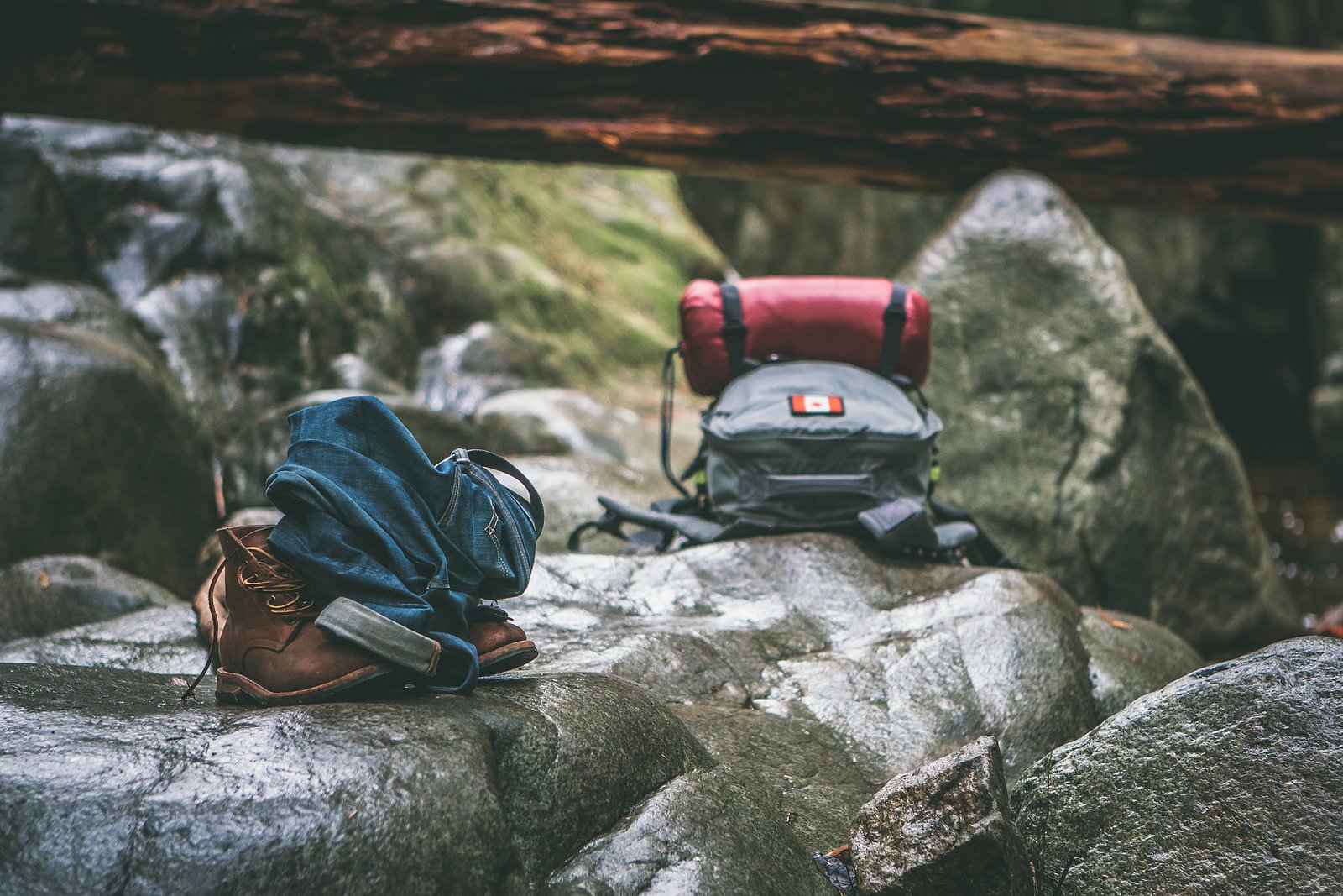
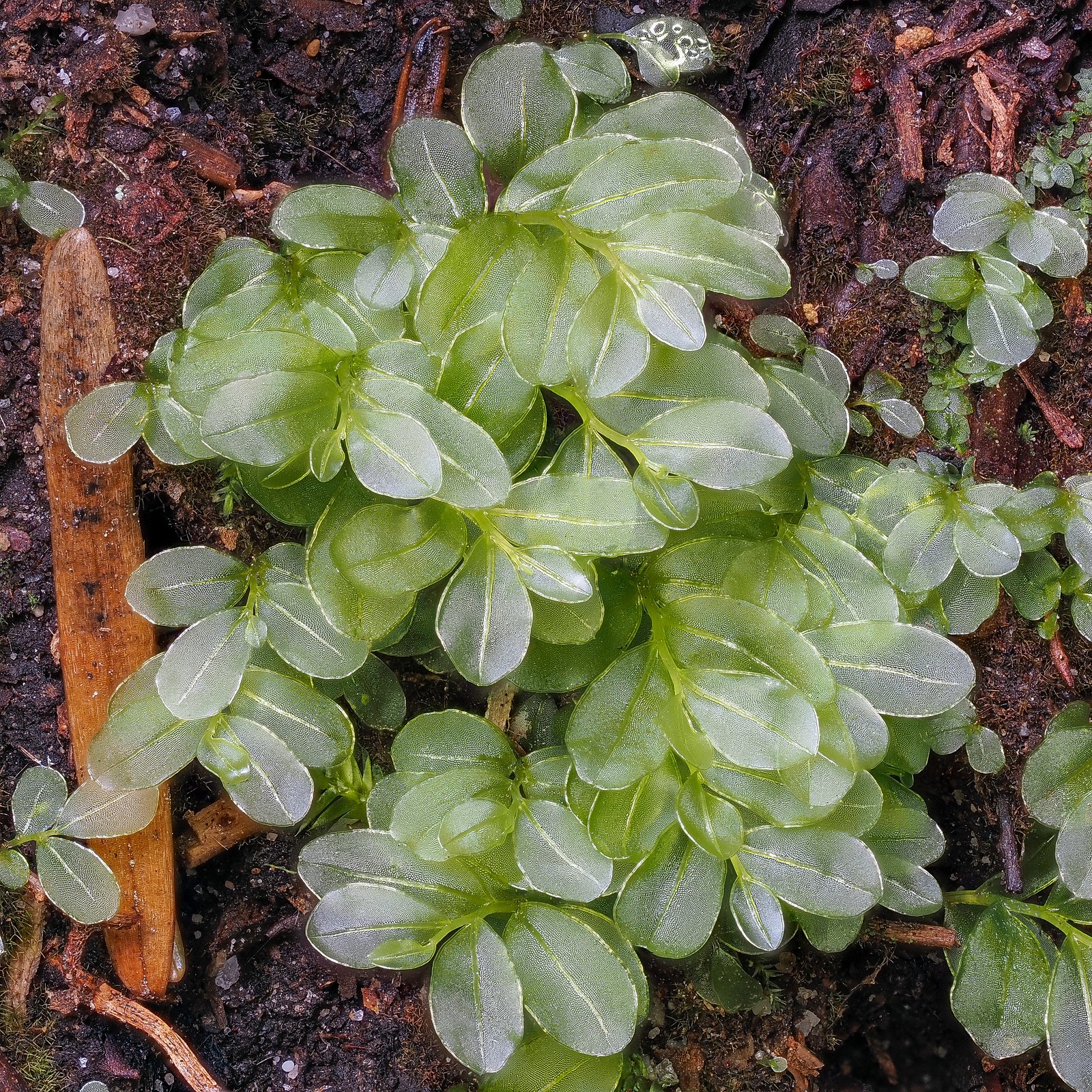
Photo Credits (5)
Difficulty
Easy
Trail Length
3.1 km
Trail Type
Loop
Elevation Gain
131 m
About Lower Cypress Falls
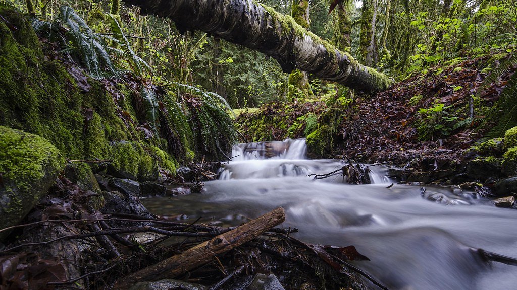
Lower Cypress Falls is a small, forested cascade on a tributary of Cypress Creek in the West Vancouver / North Shore area of British Columbia (coordinates approx. 49.3544, -123.239). The falls are reached via short walking trails through mossy conifer forest with boardwalks and viewing platforms in places. Flow is typically highest in spring (snowmelt) and after heavy rain; summer flows may be reduced. This description is based on commonly reported characteristics of the Cypress Falls area and may be approximate.
Why This Waterfall Exists
Lower Cypress Falls flows over hard intrusive rock laid down about 66-101 million years ago. These resistant rocks form a durable ledge that water cannot easily wear away, creating the falls where softer material downstream has already eroded.
Nearby Falls Worth Visiting
Bridal Veil falls (2 m) lies 7.9 kilometres to the west.
Trail & Hike Details
The Approach
The easy 3.1-km loop trail gains 131 metres of elevation on the way to the falls.
Trail Description
The trail to Lower Cypress Falls is typically a short forest walk with boardwalk sections, stairs, and footbridges over small channels. Trails are close to the creek and descend into a vegetated gorge in places; multiple short viewing platforms or pullouts may exist. Trail surfaces can be muddy and uneven in wet weather. The route is generally family-friendly and suitable for short excursions rather than long hikes.
What to Expect
Expect a short, scenic walk through dense West Coast rainforest with moss-covered trees, ferns and wet rock surfaces. The waterfall itself is a relatively modest cascade rather than a single tall plunge. On wet days the trail and viewing areas can be slippery, and water levels rise quickly after heavy rain. Facilities are minimal, bring what you need. The site can be busy on weekends and during good weather.
Accessibility
The trail is not wheelchair accessible. Uneven terrain and elevation changes require steady footing.
Frequently Asked Questions
🐶 Are Dogs Allowed at Lower Cypress Falls?
❌ Dogs are not allowed
Are There Any Fees or Permits Required?
🆖 No fees required
🏊 Is There Swimming at Lower Cypress Falls?
❌ Swimming is not allowed
When to Visit
Late spring (snowmelt) and early fall (after rain) usually offer the best flows. Summer provides more reliable weather but lower flows. Winter is atmospheric but may be icy, exercise extra caution.
Seasonal Access
The best time to visit is Spring, Summer, Fall, and Winter. Check with the managing park or local authority for current conditions.
Safety Information
• Slippery rocks and wet boardwalks are the primary hazards, use caution near the water. • Water levels and currents rise quickly after heavy rain; avoid getting too close to the edge. • Do not climb on boulders or attempt to descend to the streambed, falls and injuries occur. • Cell service can be intermittent in forested ravines, tell someone your plans and estimated return time. • In winter, ice and freezing spray create additional hazards; consider traction devices and shorter visits. • Follow posted signage and any temporary closures for public safety.
Current Water Conditions
0.7 m³/s
Current discharge — how much water is flowing
Much lower than usual for this time of year
Based on 29 years of record
0.53 m
Water depth at gauge
7-Day Discharge Trend
What does this mean for your visit?
Flow is well below normal for this time of year, so the waterfall may be a trickle.
About This Gauge
This gauge is on a nearby waterway and may not reflect exact conditions at the falls.
7-Day Flow Outlook
Based on the WSC gauge CAPILANO RIVER AT CANYON (9 km away).
Today
Barely Flowing
0.7 m³/s
5/10Tomorrow
Barely Flowing
0.7 m³/s
4/10Tue
Barely Flowing
0.8 m³/s
4/10Wed
Barely Flowing
0.7 m³/s
4/10Thu
Barely Flowing
0.6 m³/s
4/10Fri
Barely Flowing
0.5 m³/s
4/10Sat
Barely Flowing
0.5 m³/s
3/10Best window: Today — barely flowing flow, sunny (trip score 5/10).
Best time of year: this gauge typically runs highest from mid April to mid June, peaking in May.
How we calculate this
This is a transparent outlook, not a precise forecast. We take the waterfall's current flow strength (how it ranks against its historical normal for today, from the nearest WSC stream gauge), carry that ranking forward along the gauge's seasonal curve, and nudge it for forecast rain. Confidence is highest for the next day or two and falls further out. Always check official conditions and your own judgment before visiting — high flows can be dangerous.
Know when to go.
Get a free email alert when waterfalls near Vancouver hit peak flow. We only send when conditions are worth the trip — no weekly newsletters, no spam.
Weather Forecast
Location & Access
Getting There
Lower Cypress Falls is located in the Cypress Falls / Cypress Creek area of West Vancouver (within the broader North Shore recreational zone). From Vancouver the area is accessed by driving north across the Lions Gate Bridge and following local roads toward Cypress Falls Park / Cypress Creek; public transit and local road options vary and driving is the most common approach. There is a short walk from the park/trailhead to the viewing areas. Exact turn-by-turn directions and trailhead parking locations may change over time, confirm with local maps or municipal park information before you go.
Get Directions on Google MapsParking
There is typically a small parking lot or roadside parking near the Cypress Falls trailhead. Parking can fill on weekends and holidays. Expect no formal large paid lot; check signage at the site for restrictions. Street parking may be limited, use caution and obey parking rules.
Elevation
247 metres above sea level
Coordinates
49.354430° N, -123.238972° W
Visitor Tips & Gear
• Wear sturdy, waterproof footwear, trail and boardwalk sections can be muddy and slick. • Stay on marked trails and viewing platforms; do not climb on wet rocks near the falls. • Parking is limited, arrive early on weekends. • Check recent trail reports or local park pages for closures or maintenance before visiting. • Be cautious in winter: icy conditions may require microspikes or traction devices. • Pack out what you pack in; there may be limited or no garbage facilities.
As an Amazon Associate, we earn from qualifying purchases.
This easy 3.1 km hike is straightforward — comfortable trail shoes and plenty of water should do. Icy conditions are common in winter — traction cleats are a smart addition.

Columbia Watertight II Rain Jacket
Packs into its own pocket, seam-sealed, and keeps you dry from spray and surprise rain.

Polarized Sunglasses (Knockaround)
Cuts glare off the water so you actually see the falls — and your photos turn out better too.

Earth Pak Waterproof Dry Bag
Keeps your phone and gear dry when waterfall mist soaks everything else.

Waterproof Phone Pouch (AiRunTech)
Cheap insurance — take photos right next to the falls without killing your phone.

Kahtoola MICROspikes
Cult-favorite traction cleats that grip ice and wet rock — essential for winter waterfall hikes.

JOBY GorillaPod Starter Kit
Wraps around railings and rocks for long-exposure waterfall shots — no flat surface needed.
Where to Stay
Browse vacation cabins and private rentals nearby
Unique outdoor stays — tents, yurts, and treehouses
Rent a campervan or RV for your waterfall road trip
Some links are affiliate links. We may earn a commission at no extra cost to you.
Nearby Campground
Apodaca Marine Campsite
7.3 km away
Additional Information
Nearby Attractions
Cypress Mountain / Cypress Provincial Park (recreation and viewpoints), Capilano River and Capilano Suspension Bridge (further along the North Shore), Whytecliff Park and Lighthouse Park (nearby coastal parks). Vancouver city attractions are approximately 9.6 miles away per the provided context; Point Roberts and Nanaimo are within the general regional distances provided.
Wildlife
Expect typical North Shore fauna: songbirds, small mammals (squirrels, raccoons), and occasionally deer. Black bears and cougars are present in the broader coastal ranges, encounters are uncommon in the immediate creek-side trail but remain possible; follow standard wildlife safety practices.
Cities near Lower Cypress Falls
Nearby Waterfalls
Writing about Lower Cypress Falls? Embed this waterfall on your site for free.