Lupin Falls
British Columbia • Strathcona Park • 37 m
By Armen Suny · Last verified Jun 2026
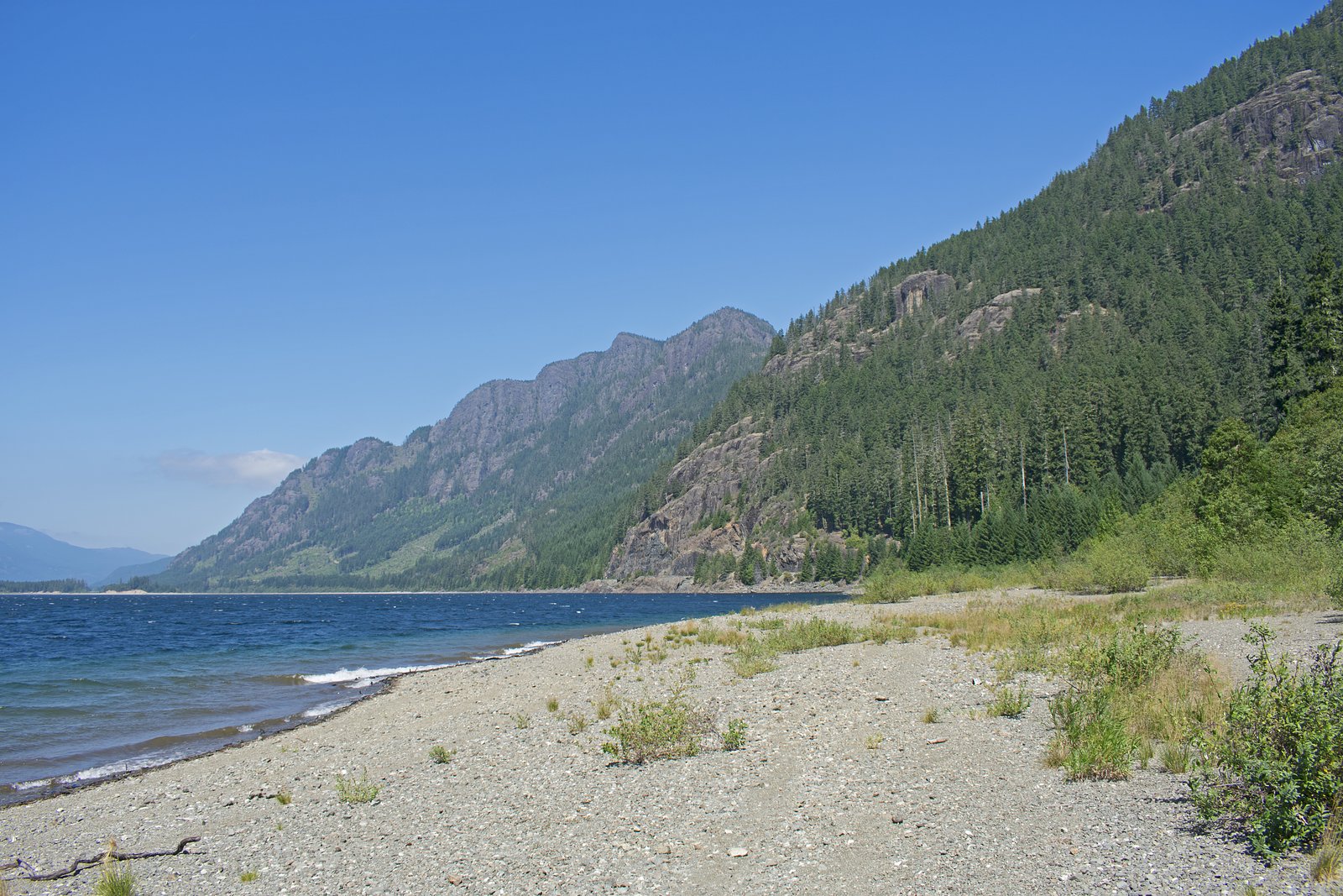
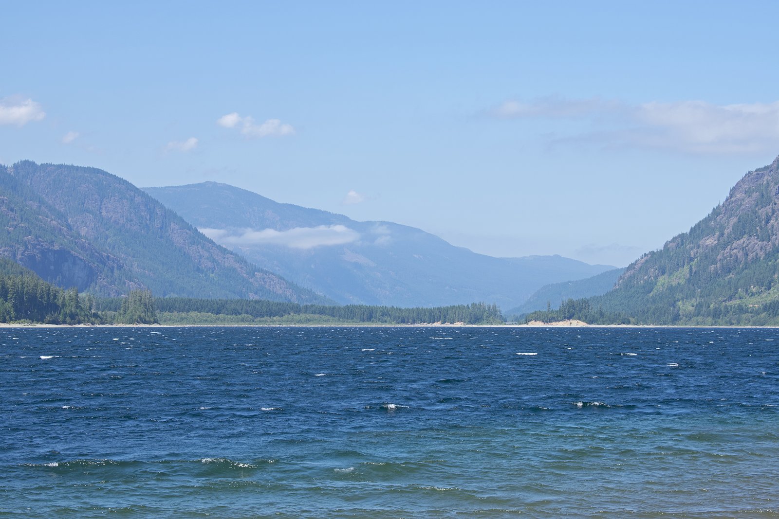
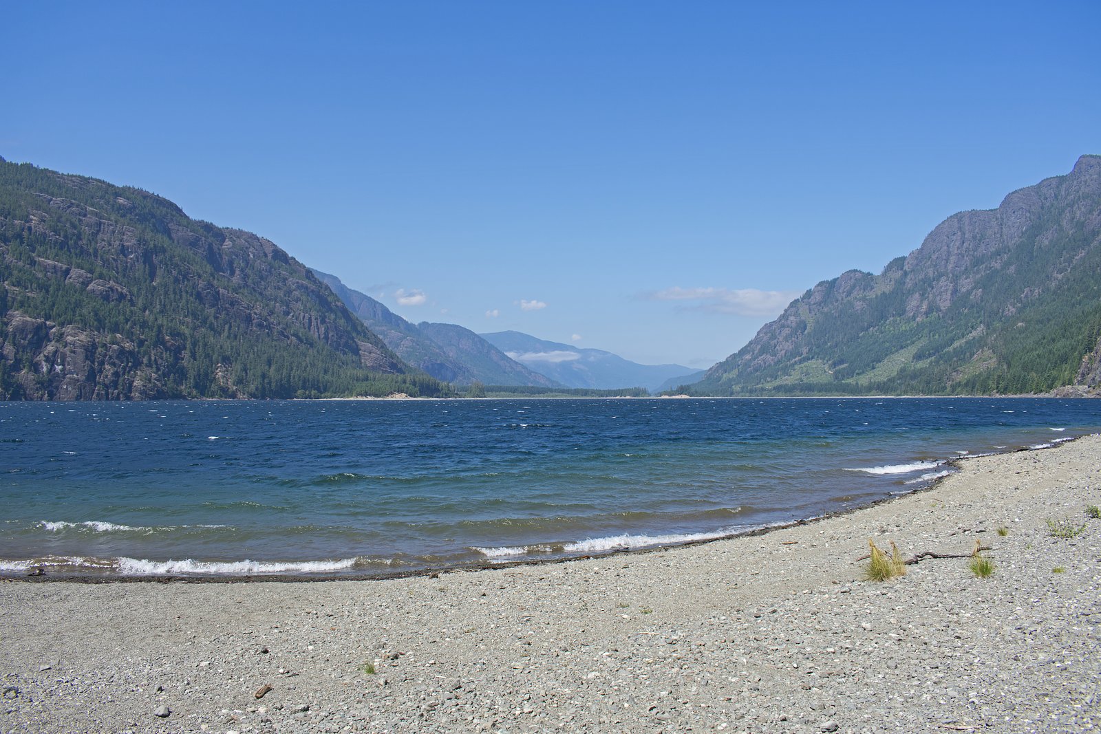
Photo Credits (4)
Difficulty
Easy
Trail Length
1.0 km
Trail Type
Loop
Elevation Gain
33 m
About Lupin Falls
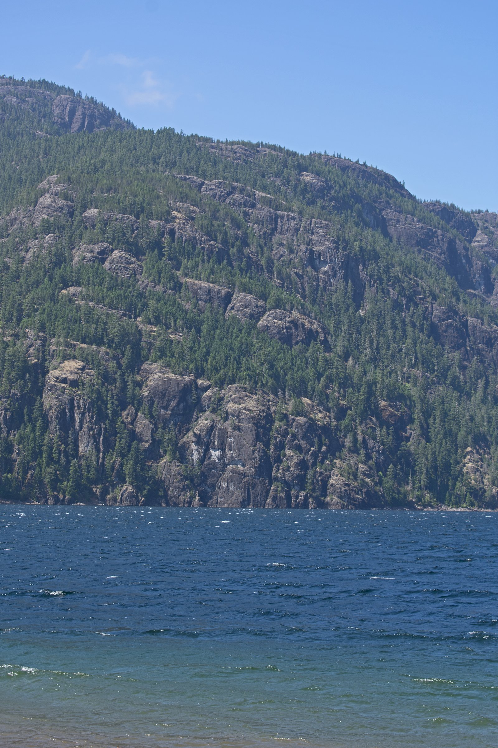
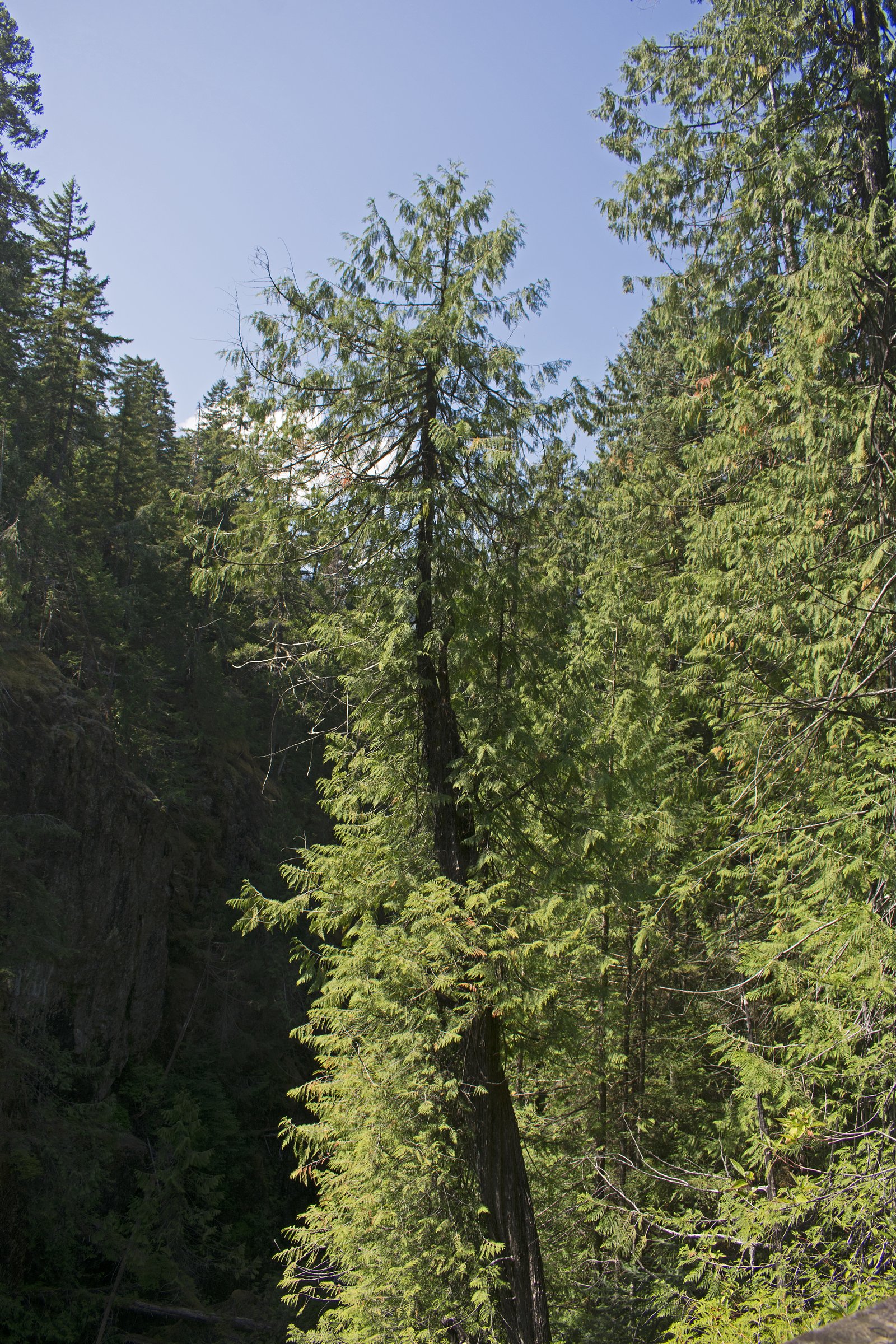
Lupin Falls is a small coastal temperate rainforest waterfall on Vancouver Island near the mid-north east coast. The waterfall is set among mossy bedrock, ferns and dense conifer forest and is likely most impressive in late winter and spring when seasonal rains swell local streams. Exact published information on trail length and total drop is limited; visitors should treat access as potentially informal and rustic.
The Setting
Lupin Falls sits at 293 metres within Strathcona Park, in the foothills of British Columbia. At 37 metres, it is among the taller waterfalls in British Columbia.
Why This Waterfall Exists
Lupin Falls flows over hard volcanic rock laid down about 201-252 million years ago. These resistant rocks form a durable ledge that water cannot easily wear away, creating a 120-foot drop where softer material downstream has already eroded.
Nearby Falls Worth Visiting
Mia Falls (220 m) lies 17.5 kilometres to the northwest. Also nearby: Lady Falls (27 m, 14.6 km).
Trail & Hike Details
The Approach
The easy 1.0-km loop trail gains 33 metres of elevation on the way to the falls.
Trail Description
There are few formal, published trail descriptions for Lupin Falls. Access may involve a short, unmarked footpath through wet forest and over roots or rocks; some visitors report uneven, muddy, or steep sections close to the stream. Because official trail maintenance information is limited, expect minimal infrastructure (no boardwalks, railings, or viewing platforms) and use caution near the water and on slippery banks.
What to Expect
The falls cascade 37 metres over hard volcanic rock.
Accessibility
The trail is short and relatively flat, but the surface may be uneven. Contact the managing agency for accessibility details.
Frequently Asked Questions
🐶 Are Dogs Allowed at Lupin Falls?
❌ Dogs are not allowed
Are There Any Fees or Permits Required?
🆖 No fees required
🏊 Is There Swimming at Lupin Falls?
❌ Swimming is not allowed
When to Visit
Late fall through spring for highest water flow and dramatic cascades. Late spring and early summer are best for lush vegetation and lupin blooms in nearby meadows (if present). For easier road and trail conditions, late summer offers drier access but lower flows.
Seasonal Access
The best time to visit is Spring, Summer, Fall, and Winter. Check with Strathcona Park for current conditions.
Safety Information
Hazards may include slippery wet rocks, steep or unstable stream banks, strong currents near the falls after heavy rain, limited cell reception, and changing forestry road conditions. Logging activity may be present on access roads. Wear appropriate footwear, avoid getting too close to the edge, check recent trip reports for conditions, and let someone know your plans. When in bear country, carry bear spray and know how to use it.
Current Water Conditions
0.7 m³/s
Current discharge — how much water is flowing
About average for this time of year
Based on 32 years of record
0.47 m
Water depth at gauge
7-Day Discharge Trend
What does this mean for your visit?
Flow is about average for this time of year.
About This Gauge
This gauge is on a nearby waterway and may not reflect exact conditions at the falls.
7-Day Flow Outlook
Based on the WSC gauge QUINSAM RIVER AT ARGONAUT BRIDGE (16 km away).
Today
Moderate
0.7 m³/s
6/10Tomorrow
Moderate
0.6 m³/s
8/10Tue
Moderate
0.6 m³/s
6/10Wed
Moderate
0.6 m³/s
5/10Thu
Moderate
0.7 m³/s
5/10Fri
Moderate
0.6 m³/s
5/10Sat
Moderate
0.6 m³/s
6/10Best window: Tomorrow — moderate flow, sunny (trip score 8/10).
Best time of year: this gauge typically runs highest from late December to early February, peaking in January.
How we calculate this
This is a transparent outlook, not a precise forecast. We take the waterfall's current flow strength (how it ranks against its historical normal for today, from the nearest WSC stream gauge), carry that ranking forward along the gauge's seasonal curve, and nudge it for forecast rain. Confidence is highest for the next day or two and falls further out. Always check official conditions and your own judgment before visiting — high flows can be dangerous.
Know when to go.
Get a free email alert when waterfalls near Campbell River hit peak flow. We only send when conditions are worth the trip — no weekly newsletters, no spam.
Weather Forecast
Location & Access
Getting There
The falls are located on Vancouver Island near the coordinates 49.7988, -125.5957. Access is typically via secondary/forestry roads or short unmarked trails off the nearest paved route; road conditions can vary and high-clearance vehicles may be helpful. Expect limited signage. Confirm current access and road conditions with local resources (AllTrails trail reports, local forest service or visitor centres in Campbell River / Courtenay) before you go.
Get Directions on Google MapsParking
Parking is likely limited to roadside pullouts or informal parking near a trailhead. There may be no formal lot or facilities; avoid blocking gates or private driveways. If accessing via a forestry road, park only where it is safe and permitted.
Elevation
293 metres above sea level
Coordinates
49.798755° N, -125.595699° W
Land Management
Managed by Government of British Columbia
Visitor Tips & Gear
• Check recent trip reports and AllTrails for up-to-date access notes and conditions. • Use a high-clearance vehicle for forestry roads and carry a map/GPS, cell reception can be unreliable. • Wear waterproof boots with good traction; expect muddy, slippery terrain. • Stay off unstable banks and wet rocks; do not attempt to climb near the falls in wet conditions. • Respect private property and posted signs; many access routes in this region cross logging or private lands. • Leave no trace: pack out waste and avoid creating new trails or widening social trails. • If uncertain about access, contact local visitor centres in Campbell River or Courtenay for guidance.
As an Amazon Associate, we earn from qualifying purchases.
For this easy 1.0 km trail, lightweight trail shoes and a water bottle are usually sufficient. Icy conditions are common in winter — traction cleats are a smart addition.

Columbia Watertight II Rain Jacket
Packs into its own pocket, seam-sealed, and keeps you dry from spray and surprise rain.

Polarized Sunglasses (Knockaround)
Cuts glare off the water so you actually see the falls — and your photos turn out better too.

Earth Pak Waterproof Dry Bag
Keeps your phone and gear dry when waterfall mist soaks everything else.

Waterproof Phone Pouch (AiRunTech)
Cheap insurance — take photos right next to the falls without killing your phone.

Kahtoola MICROspikes
Cult-favorite traction cleats that grip ice and wet rock — essential for winter waterfall hikes.

JOBY GorillaPod Starter Kit
Wraps around railings and rocks for long-exposure waterfall shots — no flat surface needed.
Where to Stay
Browse vacation cabins and private rentals nearby
Unique outdoor stays — tents, yurts, and treehouses
Rent a campervan or RV for your waterfall road trip
Some links are affiliate links. We may earn a commission at no extra cost to you.
Nearby Campground
Titus Marine Campground
2.1 km away
Additional Information
Nearby Attractions
Campbell River (approx. 25 miles), Elk Falls Provincial Park; Courtenay (approx. 31 miles); Tofino (approx. 45 miles) and other west-coast attractions. Strathcona Provincial Park and various coastal beaches and forest trails are within driving distance depending on route.
Wildlife
Typical Vancouver Island wildlife may include black bears, cougars (rare but present), deer, river otters, salmon in some streams, and many bird species. Practice standard wildlife safety: store food securely, make noise on the trail, and keep dogs under control.
Cities near Lupin Falls
Nearby Waterfalls
Writing about Lupin Falls? Embed this waterfall on your site for free.