Mia Falls
British Columbia • Strathcona Park • 220 m
By Armen Suny · Last verified Jun 2026
Difficulty
Hard
Trail Type
Out And Back
About Mia Falls
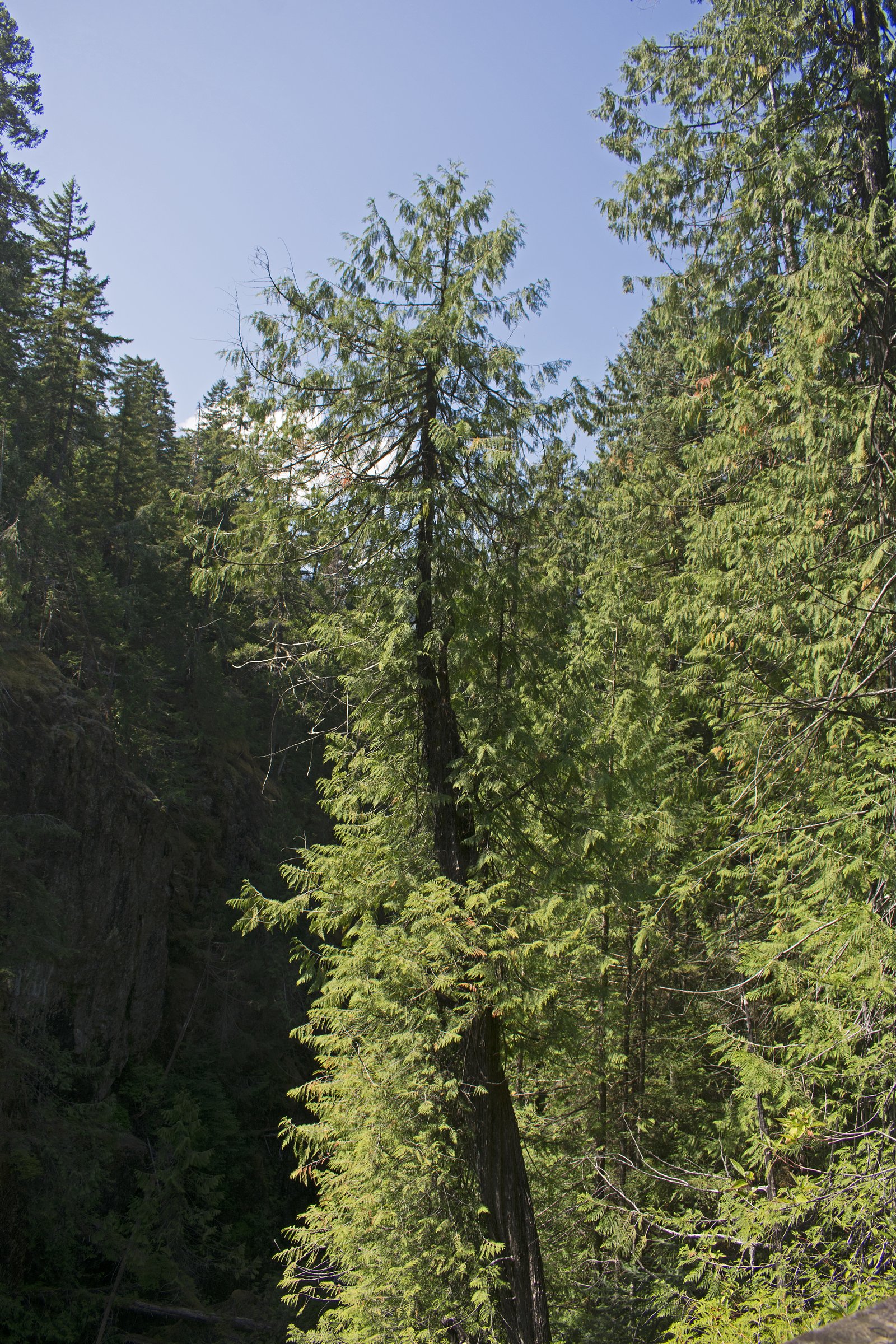
Mia Falls is a forested waterfall on northern Vancouver Island, located inland from the east coast near Campbell River and Courtenay. The falls sit in a rugged, heavily wooded setting typical of the region and are best described as a small-to-medium cascade or tiered drop (exact classification and height are not well-documented). Access appears to be via secondary or forest service roads and an unmaintained footpath or short scramble; signage and facilities are likely minimal or absent. Visitor reports suggest the flow is highly seasonal, strongest in late winter and spring runoff and diminished in late summer and early fall.
The Setting
Mia Falls sits at 931 metres within Strathcona Park, in the mountains of British Columbia. At 220 metres, it is among the taller waterfalls in British Columbia.
Why This Waterfall Exists
Mia Falls flows over hard volcanic rock laid down about 201-252 million years ago. These resistant rocks form a durable ledge that water cannot easily wear away, creating a 722-foot drop where softer material downstream has already eroded.
Nearby Falls Worth Visiting
Lupin Falls (37 m) lies 17.5 kilometres to the southeast. Also nearby: Lady Falls (27 m, 4.7 km).
Trail & Hike Details
Trail Description
There does not appear to be a highly developed or regularly maintained trail to Mia Falls. Expect a mostly natural route that may include a short unmarked footpath, uneven terrain, muddy or rooty sections, and possibly a brief scramble to reach viewpoints or the streambank. Wayfinding may require map/GPS and basic navigation skills. Trails may be more visible in summer but can be wet and slippery in spring or after rain.
What to Expect
The falls plunge a dramatic 220 metres over hard volcanic rock.
Accessibility
The trail involves steep, uneven terrain with significant elevation change and is not accessible to mobility devices.
Frequently Asked Questions
🐶 Are Dogs Allowed at Mia Falls?
❌ Dogs are not allowed
Are There Any Fees or Permits Required?
🆖 No fees required
🏊 Is There Swimming at Mia Falls?
❌ Swimming is not allowed
When to Visit
Late winter through spring for strongest flows and most dramatic visuals; early summer for a balance of flow and easier access. Fall after several rain events can also produce good flow. Avoid visiting during heavy rainstorms or immediately after intense storms due to high water and road washouts.
Seasonal Access
The best time to visit is Spring, Summer, and Fall. Winter access may be limited. Check with Strathcona Park for current conditions.
Safety Information
Hazards include slippery rocks and steep, unstable banks near the water; seasonal high flows and fast currents; unmaintained and potentially rough forest service roads; limited cell service and remote conditions; wildlife encounters (bears). Visitors should wear appropriate footwear, avoid getting too close to the edge, not attempt technical climbs without proper gear, inform someone of their plans, carry navigation tools, and check road/reporting resources before travel. Seasonal logging or road closures may block access without notice.
Current Water Conditions
4.0 m³/s
Current discharge — how much water is flowing
About average for this time of year
Based on 33 years of record
4.52 m
Water depth at gauge
7-Day Discharge Trend
What does this mean for your visit?
Flow is about average for this time of year.
About This Gauge
7-Day Flow Outlook
Based on the WSC gauge ELK RIVER ABOVE CAMPBELL LAKE (4 km away).
Today
Moderate
4.0 m³/s
6/10Tomorrow
Moderate
3.9 m³/s
8/10Tue
Moderate
3.7 m³/s
8/10Wed
Moderate
4.3 m³/s
5/10Thu
Moderate
4.2 m³/s
5/10Fri
Moderate
3.9 m³/s
6/10Sat
Moderate
3.9 m³/s
5/10Best window: Tomorrow — moderate flow, sunny (trip score 8/10).
Best time of year: this gauge typically runs highest from early May to late June, peaking in June.
How we calculate this
This is a transparent outlook, not a precise forecast. We take the waterfall's current flow strength (how it ranks against its historical normal for today, from the nearest WSC stream gauge), carry that ranking forward along the gauge's seasonal curve, and nudge it for forecast rain. Confidence is highest for the next day or two and falls further out. Always check official conditions and your own judgment before visiting — high flows can be dangerous.
Know when to go.
Get a free email alert when waterfalls near Campbell River hit peak flow. We only send when conditions are worth the trip — no weekly newsletters, no spam.
Weather Forecast
Location & Access
Getting There
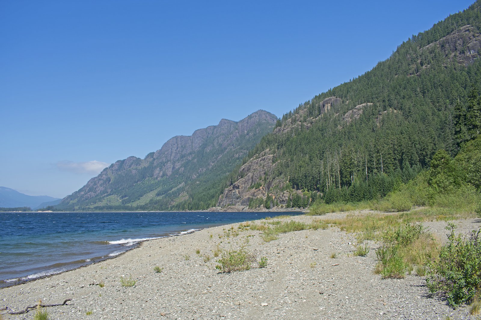
The falls are on northern Vancouver Island (coordinates 49.8945, -125.7899), roughly northeast of Campbell River and northwest of Courtenay. Access will typically be by driving on Highway 19 and then taking secondary/forest service or logging roads toward the local watershed. Roads may be unpaved and gated; a high-clearance vehicle may be recommended. Final access commonly involves a short walk on an unmaintained trail or a bushwhack; exact approach routes and trailheads are not consistently marked.
Get Directions on Google MapsParking
Parking is likely limited to a roadside pullout or informal lot near a trailhead or logging road gate. There may be no formal parking area, signage, or facilities. Visitors should avoid blocking roads or gates and park only in designated or clearly safe pullouts.
Elevation
931 metres above sea level
Coordinates
49.894505° N, -125.789905° W
Land Management
Managed by Government of British Columbia
Visitor Tips & Gear
1) Check local road and forest service conditions before you go; logging roads may be gated or closed. 2) Use a high-clearance vehicle if driving forest roads; proceed cautiously and respect private property. 3) Bring a map or GPS and be prepared for an unmarked route. 4) Wear sturdy, waterproof footwear and bring layers, weather can change quickly on Vancouver Island. 5) Carry insect repellent and bear-aware gear (make noise, store food properly). 6) Do not climb on wet rocks near the falls; banks may be unstable. 7) Pack out all trash and follow Leave No Trace principles.
Where to Stay
Browse vacation cabins and private rentals nearby
Unique outdoor stays — tents, yurts, and treehouses
Rent a campervan or RV for your waterfall road trip
Some links are affiliate links. We may earn a commission at no extra cost to you.
Nearby Campground
Butterwort Flats Campsite
12.8 km away
Additional Information
Nearby Attractions
Elk Falls (Campbell River) and its suspension bridge; Strathcona Provincial Park (wilderness hiking and lakes); local coastal towns such as Campbell River and Courtenay offer services, parks, and visitor information. Note that exact travel times and proximity depend on road access.
Wildlife
Typical Vancouver Island wildlife may be present: black bears, black-tailed deer, small mammals, raptors (bald eagles and hawks), and abundant insects in warmer months. Salmon may be present in connected waterways at certain times of year, observe from a distance and do not disturb spawning fish.
Cities near Mia Falls
Nearby Waterfalls
Writing about Mia Falls? Embed this waterfall on your site for free.