Piggott Creek Falls
By Armen Suny · Last verified Jun 2026
Difficulty
Moderate
Trail Length
8.5 km
Trail Type
Loop
Elevation Gain
130 m
About Piggott Creek Falls
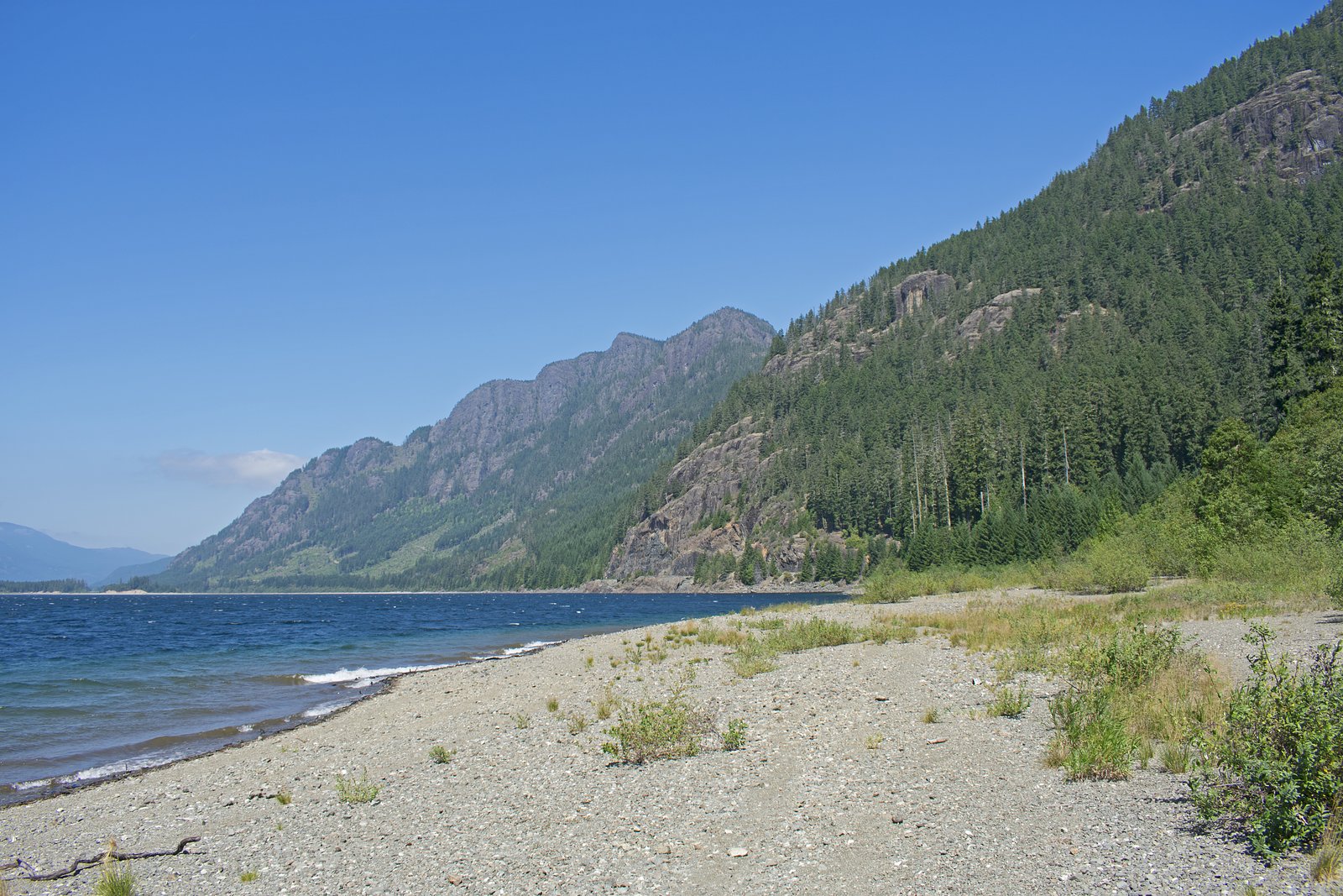
Piggott Creek Falls is a small, forested creek waterfall on northern Vancouver Island near the eastern coast of the island. The falls sit in a heavily-forested, relatively remote area and are best known to local hikers and forestry-road users. Exact published trail information is limited; visitors should expect a natural, undeveloped site accessed via secondary/forestry roads and a short walking approach that may include uneven ground and a creek-side scramble. Flow is typically highest in late winter and spring and lower in late summer and early fall.
Why This Waterfall Exists
Piggott Creek Falls flows over hard volcanic rock laid down about 201-252 million years ago. These resistant rocks form a durable ledge that water cannot easily wear away, creating the falls where softer material downstream has already eroded.
Trail & Hike Details
The Approach
The moderate 8.5-km loop trail gains 130 metres of elevation on the way to the falls.
Trail Description
Published trail descriptions are scarce. Expect a short, informal approach from a roadside pullout across forested terrain to the creek. The final approach may require negotiating roots, rocks, wet ground, and a possible short scramble to the creek bank or base of the falls. Trails, if present, may be faint and unmaintained.
What to Expect
A natural forested setting with a creek-fed falls (likely a single cascade or a set of small drops). The creek and falls will be more impressive during the rainy season and spring melt. Surrounding vegetation is typical coastal temperate rainforest, ferns, moss, and conifers. There may be limited or no signage, facilities, or maintained viewpoints. Cell service may be spotty or absent. Nearby road conditions and trail conditions can change due to logging activity or weather.
Accessibility
The trail is not wheelchair accessible. Uneven terrain and elevation changes require steady footing.
Frequently Asked Questions
🐶 Are Dogs Allowed at Piggott Creek Falls?
❌ Dogs are not allowed
Are There Any Fees or Permits Required?
🆖 No fees required
🏊 Is There Swimming at Piggott Creek Falls?
❌ Swimming is not allowed
When to Visit
Late winter to late spring for the fullest flow. Summer offers drier and easier road and trail conditions but stream flow may be reduced. Avoid travel during heavy rainstorms or when forestry operations are active.
Seasonal Access
The best time to visit is Spring, Summer, and Fall. Winter access may be limited. Check with the managing park or local authority for current conditions.
Safety Information
Hazards may include slick rocks and logs, steep or unstable banks, cold water, falling tree debris, poor road conditions, limited cell service, and active forestry operations. Wear appropriate footwear, avoid cliff or edge areas, do not climb wet rock faces, and do not attempt to cross fast or high water. Check for road closures and respect posted signage. If unfamiliar with forest roads, obtain local advice before traveling.
Current Water Conditions
5.9 m³/s
Current discharge — how much water is flowing
About average for this time of year
Based on 50 years of record
0.86 m
Water depth at gauge
7-Day Discharge Trend
What does this mean for your visit?
Flow is about average for this time of year.
About This Gauge
This gauge is on a nearby waterway and may not reflect exact conditions at the falls.
7-Day Flow Outlook
Based on the WSC gauge OYSTER RIVER BELOW WOODHUS CREEK (15 km away).
Today
Moderate
5.9 m³/s
8/10Tomorrow
Moderate
5.7 m³/s
9/10Tue
Moderate
5.4 m³/s
8/10Wed
Moderate
5.5 m³/s
6/10Thu
Moderate
5.4 m³/s
6/10Fri
Moderate
5.3 m³/s
6/10Sat
Moderate
4.6 m³/s
8/10Best window: Tomorrow — moderate flow, sunny (trip score 9/10).
Best time of year: this gauge typically runs highest from mid April to late June, peaking in May.
How we calculate this
This is a transparent outlook, not a precise forecast. We take the waterfall's current flow strength (how it ranks against its historical normal for today, from the nearest WSC stream gauge), carry that ranking forward along the gauge's seasonal curve, and nudge it for forecast rain. Confidence is highest for the next day or two and falls further out. Always check official conditions and your own judgment before visiting — high flows can be dangerous.
Know when to go.
Get a free email alert when waterfalls near Campbell River hit peak flow. We only send when conditions are worth the trip — no weekly newsletters, no spam.
Weather Forecast
Location & Access
Getting There
The waterfall is located at approximately 49.7843, -125.373 on northern Vancouver Island, British Columbia, roughly 16-21 miles by road from Campbell River and Courtenay (distances vary by route). Access typically requires driving onto secondary or logging roads off the main highways. Roads may be unpaved, narrow, and seasonally gated; a high-clearance vehicle may be advisable. Exact turn-by-turn directions are not consistently published, check local maps, recent trip reports, or contact the nearest forest district office before traveling.
Get Directions on Google MapsParking
Parking is likely limited to a pullout or informal turnout on a logging road. There may be no formal parking lot or signage. Visitors should park safely off the roadway and avoid blocking gates or logging operations.
Elevation
623 metres above sea level
Coordinates
49.784304° N, -125.373006° W
Visitor Tips & Gear
• Check recent trip reports or local forest/park offices for up-to-date road and access information. • Use a high-clearance vehicle if traveling forestry roads and drive cautiously; roads may be muddy or washboarded. • Wear sturdy, waterproof footwear; expect slippery rocks and roots near the creek. • Watch for logging trucks and obey gates and posted closures. • Pack out all trash and follow Leave No Trace principles. • Tell someone your plans and expected return time; cell coverage may be unreliable.
As an Amazon Associate, we earn from qualifying purchases.
With 8.5 km and 130 m of elevation gain, sturdy boots and trekking poles will help on this moderate trail. Sun exposure on the trail makes good sun protection a must in summer.

Columbia Watertight II Rain Jacket
Packs into its own pocket, seam-sealed, and keeps you dry from spray and surprise rain.

Earth Pak Waterproof Dry Bag
Keeps your phone and gear dry when waterfall mist soaks everything else.

Waterproof Phone Pouch (AiRunTech)
Cheap insurance — take photos right next to the falls without killing your phone.

Timberland Euro Sprint Mid Waterproof
Trusted waterproof boot with premium leather and grippy rubber sole — reliable on rocky, wet trails.

TrailBuddy Trekking Poles
Lightweight aluminum, cork grips, and flip-locks that actually hold — a best-seller for good reason.

Sawyer Squeeze Water Filter
The backcountry standard — filters 99.9% of bacteria and weighs just 3 oz.
Where to Stay
Browse vacation cabins and private rentals nearby
Unique outdoor stays — tents, yurts, and treehouses
Rent a campervan or RV for your waterfall road trip
Some links are affiliate links. We may earn a commission at no extra cost to you.
Nearby Campground
Circlet Lake Campground
9.7 km away
Additional Information
Nearby Attractions
Campbell River (Elk Falls Provincial Park, town services), Courtenay and Comox Valley amenities, various coastal and forest recreation areas on northern Vancouver Island. Strathcona Provincial Park is inland from Campbell River and offers alpine hiking and lakes (further travel required).
Wildlife
Typical Vancouver Island wildlife may include black bears, cougars, deer, small mammals, and a variety of birds. Practice bear-aware precautions (store food securely, make noise on approach) and respect wildlife at a distance.
Cities near Piggott Creek Falls
Nearby Waterfalls
Writing about Piggott Creek Falls? Embed this waterfall on your site for free.