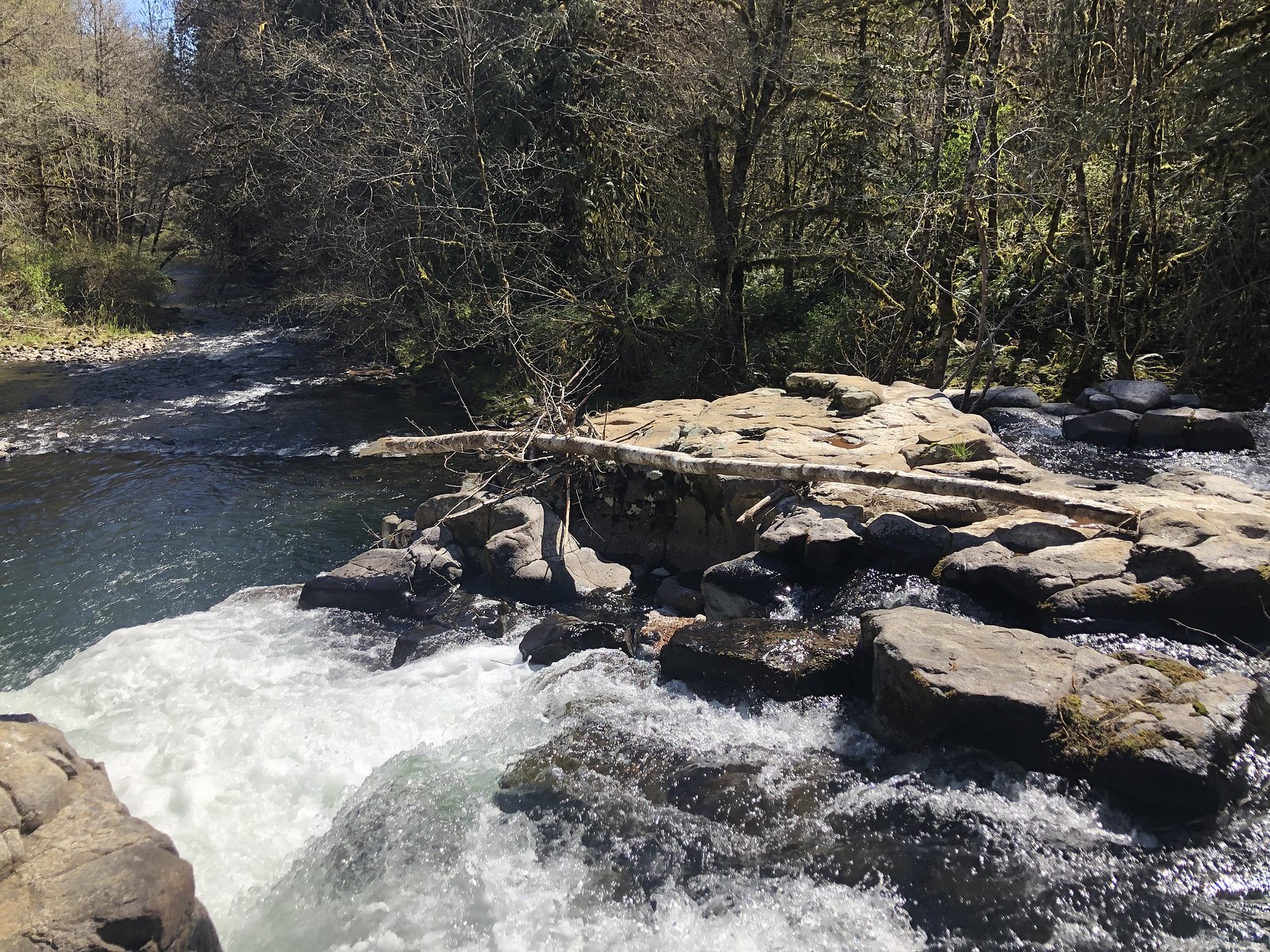
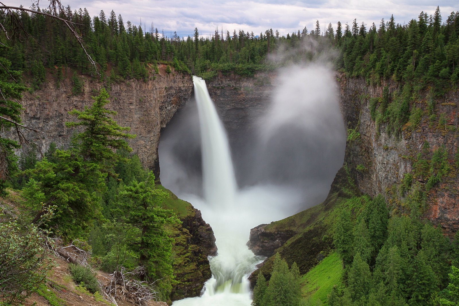
Lee Falls
British Columbia • Wells Gray Park
By Armen Suny · Last verified Jun 2026
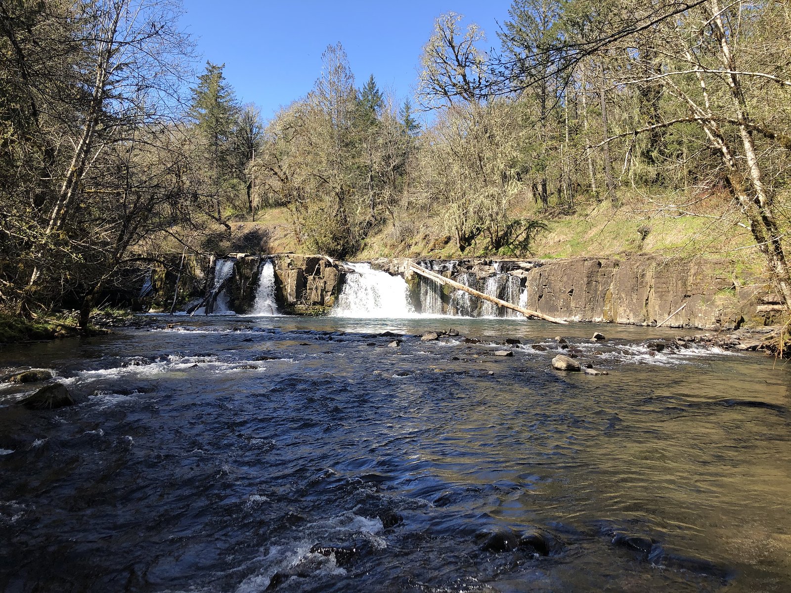
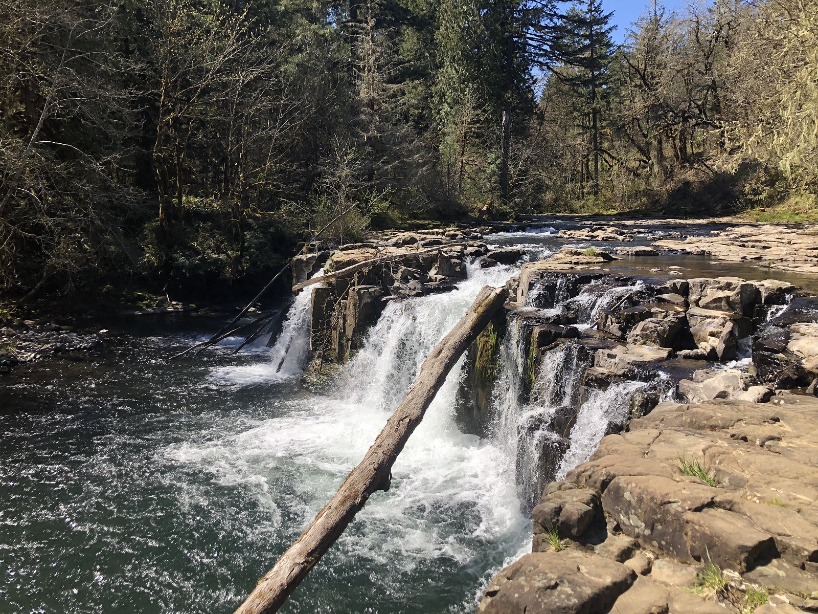
Photo Credits (4)
About Lee Falls
Lee Falls is a small, forested waterfall site in central British Columbia (coordinates provided). It appears to be a relatively remote, low-development waterfall set in mixed forest and typical interior-BC terrain. Specific historical or geological details are not confidently confirmed here; descriptions below use cautious language where details are uncertain.
The Setting
Lee Falls sits at 689 metres within Wells Gray Park, in the hills of British Columbia.
Nearby Falls Worth Visiting
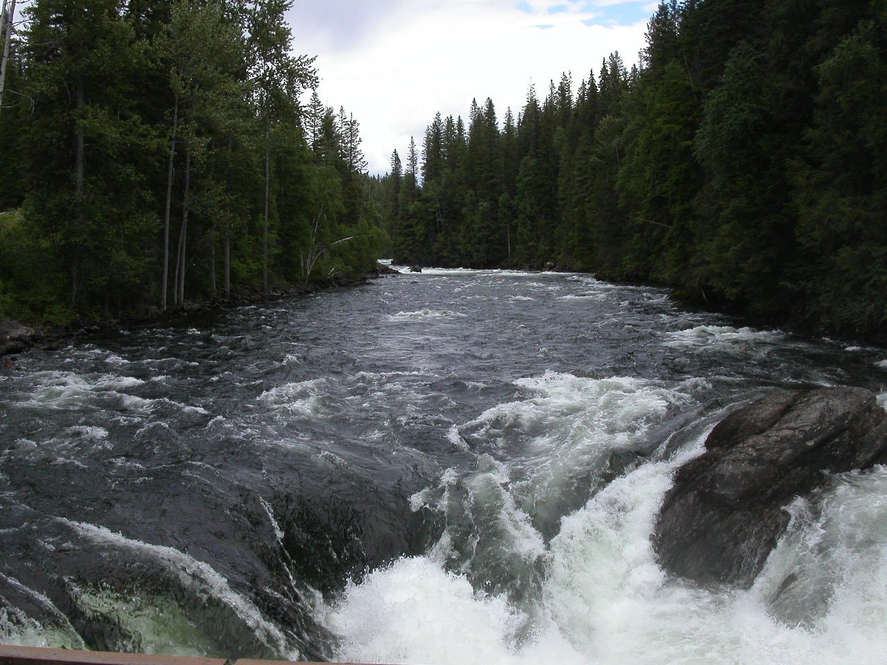
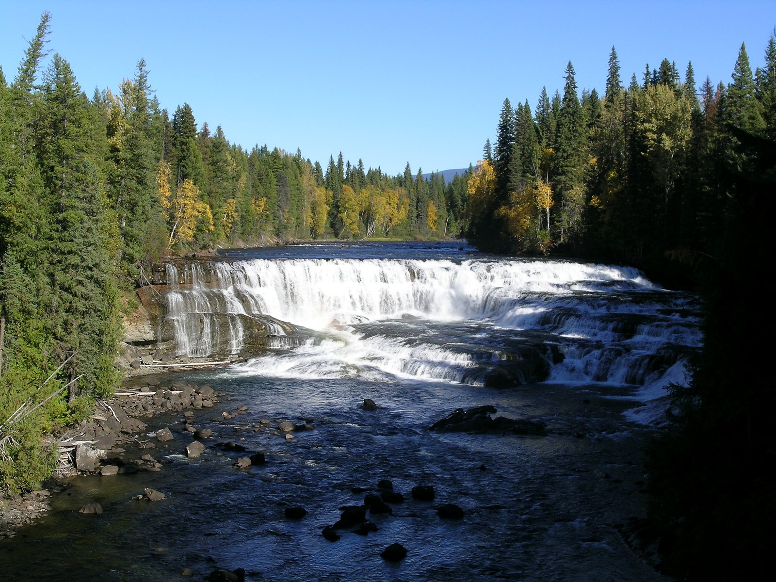
Helmcken Falls (141 m) lies 0.2 kilometres to the east. Also nearby: Cougar Falls (20 m, 0.2 km) and Dawson Falls (20 m, 4.0 km).
Trail & Hike Details
Trail Description
Trail information is not well-documented here. The approach to Lee Falls may be via an unmarked or lightly used path from a road pullout or short spur trail through forested terrain. Trails in the area, if present, may be uneven, rooty, and slippery when wet. Because official trail details are not confirmed, assume a rough, primitive approach and plan accordingly.
What to Expect
Expect a relatively small, natural waterfall set in forest. There may be limited signage, no built viewing platforms, and minimal developed infrastructure. Footing near the water can be slippery with exposed roots and rocks. Cell service may be unreliable in this remote area. Seasonal flow can vary greatly, higher in spring snowmelt and lower in late summer or drought conditions.
Accessibility
Access is likely not wheelchair-accessible. Trails, if present, may be narrow, uneven, and involve steps or steep sections. Expect primitive conditions and limited or no ADA-style facilities.
Frequently Asked Questions
🐶 Are Dogs Allowed at Lee Falls?
❌ Dogs are not allowed
Are There Any Fees or Permits Required?
🆖 No fees required
🏊 Is There Swimming at Lee Falls?
❌ Swimming is not allowed
When to Visit
Spring typically offers the highest flows and most dramatic appearance due to snowmelt. Summer and early fall offer better road access and drier hiking conditions. Winter conditions may restrict access due to snow, ice, and closed forestry roads, visit only with appropriate winter gear and experience.
Seasonal Access
The best time to visit is Spring, Summer, and Fall. Winter access may be limited. Check with Wells Gray Park for current conditions.
Safety Information
Hazards may include slippery rocks and banks, steep or unstable approaches, variable water flow and undercut banks, sudden rises in water level after heavy rain, limited cell service, remote location, and potential wildlife encounters. Use caution near the water’s edge, do not climb on wet rocks, tell someone your plans and expected return time, and carry appropriate safety gear. If driving forestry roads, be prepared for rough surfaces, washouts, and encountering logging trucks.
Current Water Conditions
Based on a Water Survey of Canada gauge 34.2 km away
382.0 m³/s
Current discharge — how much water is flowing
About average for this time of year
Based on 87 years of record
3.70 m
Water depth at gauge
7-Day Discharge Trend
What does this mean for your visit?
Flow is about average for this time of year.
About This Gauge
This gauge is on a regional waterway. Conditions at the falls may differ, especially after local rain.
7-Day Flow Outlook
Based on the WSC gauge CLEARWATER RIVER NEAR CLEARWATER STATION (34 km away).
Today
Moderate
430 m³/s
4/10Tomorrow
Moderate
402 m³/s
8/10Tue
Moderate
373 m³/s
8/10Wed
Moderate
360 m³/s
6/10Thu
Moderate
347 m³/s
6/10Fri
Moderate
366 m³/s
5/10Sat
Moderate
385 m³/s
4/10Best window: Tomorrow — moderate flow, mainly sunny (trip score 8/10).
Best time of year: this gauge typically runs highest from early May to early August, peaking in June.
How we calculate this
This is a transparent outlook, not a precise forecast. We take the waterfall's current flow strength (how it ranks against its historical normal for today, from the nearest WSC stream gauge), carry that ranking forward along the gauge's seasonal curve, and nudge it for forecast rain. Confidence is highest for the next day or two and falls further out. Always check official conditions and your own judgment before visiting — high flows can be dangerous.
Weather Forecast
Location & Access
Getting There
Lee Falls is located at the provided coordinates (51.9549, -120.1791) in central British Columbia. Access is likely via secondary or forestry roads off the main regional highways and may require a high-clearance vehicle. Exact directions and road names are not confirmed here; consult local maps, BC Forest Service road reports, or recent visitor trip reports before travel.
Get Directions on Google MapsParking
Parking is likely informal (pullout or small parking area) rather than a developed lot. Expect limited facilities and no official maintained parking unless otherwise posted by local authorities.
Elevation
689 metres above sea level
Coordinates
51.954911° N, -120.179111° W
Land Management
Managed by Government of British Columbia
Visitor Tips & Gear
1) Check recent trip reports, local ranger/forestry service bulletins, and current road conditions before traveling; forest roads can close or be impassable. 2) Use a high-clearance vehicle if venturing onto gravel/forestry roads. 3) Wear sturdy, non-slip footwear and be prepared for wet, muddy, or uneven terrain. 4) Leave no trace, pack out garbage and avoid disturbing vegetation or streambanks. 5) Be bear-aware: carry bear spray and know how to use it; make noise when hiking in dense forest.
Where to Stay
Browse vacation cabins and private rentals nearby
Unique outdoor stays — tents, yurts, and treehouses
Rent a campervan or RV for your waterfall road trip
Some links are affiliate links. We may earn a commission at no extra cost to you.
Nearby Campground
Pyramid Campground
4.7 km away
Additional Information
Nearby Attractions
Specific nearby attractions are not confirmed here. In general, central British Columbia offers provincial parks, other waterfalls, lakes, and hiking opportunities, consult regional tourism or park resources for confirmed nearby sites.
Wildlife
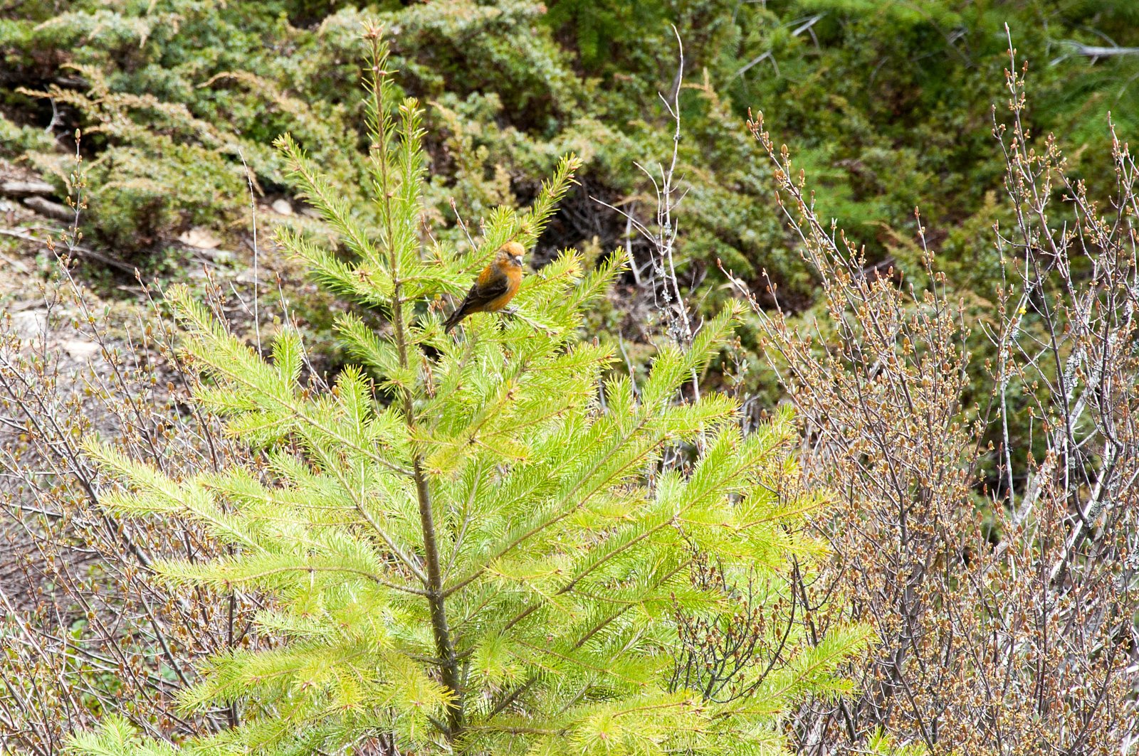
Typical interior-BC wildlife may be present, including black bears, deer, moose, small mammals, and various bird species. Ticks can be present in warmer months. Be aware of potential predator presence (e.g., bears, cougars) and take appropriate precautions.
Nearby Waterfalls
Other waterfalls named Lee Falls
2 other waterfalls share this name across Canada.
Writing about Lee Falls? Embed this waterfall on your site for free.