Difficulty
Easy
Trail Length
5.6 km
Trail Type
Out And Back
Elevation Gain
138 m
About Forum Falls
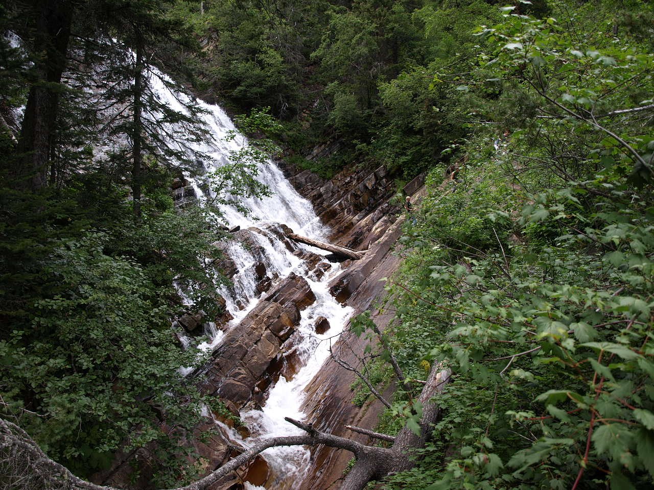
Forum Falls is a little-documented waterfall located near the coordinate 49.0234, -114.0654 (just north of the U.S.–Canada border in southeastern British Columbia). It appears to be remote and is not widely described in major trail databases. The falls likely have a seasonal flow that is highest in spring and early summer from snowmelt and may be reduced late in summer and fall. Specifics about the drop, number of tiers, or official name usage in local maps are uncertain and may vary; caution is advised when planning a visit.
The Setting
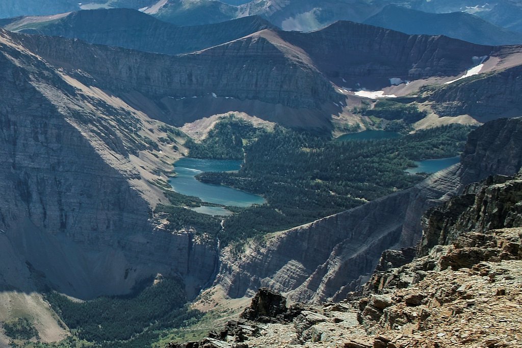
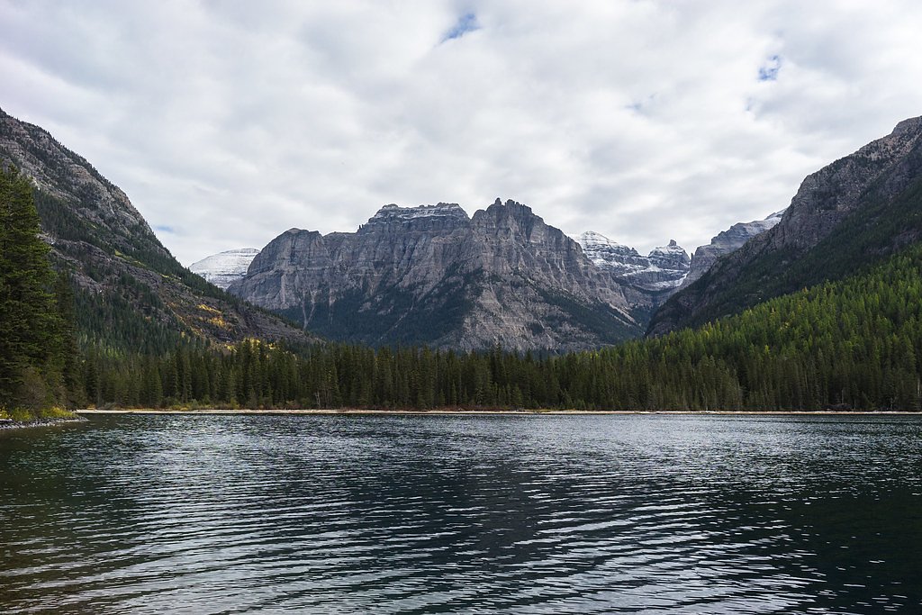
Forum Falls sits at 1,783 metres within AKAMINA-KISHINENA PARK, in the high mountains of British Columbia.
Why This Waterfall Exists
Forum Falls flows over Purcell Supergroup, a layered sedimentary rock layer deposited over 1.0-1.6 billion years ago. Over time, the stream has worn through these layers at different rates, creating the step that forms the waterfall.
Nearby Falls Worth Visiting
Lineham Falls (125 m) lies 6.1 kilometres to the north. Also nearby: Upper Bertha Falls (75 m, 9.5 km).
Trail & Hike Details
The Approach
The easy 5.6-km out-and-back trail gains 138 metres of elevation on the way to the falls.
Trail Description
There is no widely published, maintained trail description available for Forum Falls. Approaches in this border region often involve following unmarked game trails, user-created paths, or forest roads. Trails (if present) may be rough, poorly signed, and seasonally affected by mud, snow, or washouts. Expect route-finding and possibly bushwhacking.
What to Expect
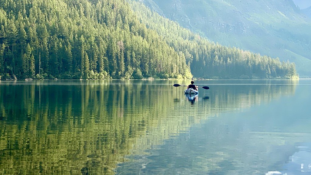
A remote, likely small-to-medium waterfall with seasonal flow patterns. Surroundings are likely forested with mixed conifer/deciduous vegetation typical of the border region between southeastern BC and northwest Montana. Expect uneven terrain, slippery rocks near the water, and potentially limited cell service. Wildlife such as black bears and possibly grizzly bears, moose, and deer may be present in the area.
Accessibility
The trail is not wheelchair accessible. Uneven terrain and elevation changes require steady footing.
Frequently Asked Questions
🐶 Are Dogs Allowed at Forum Falls?
❌ Dogs are not allowed
Are There Any Fees or Permits Required?
🆖 No fees required
🏊 Is There Swimming at Forum Falls?
❌ Swimming is not allowed
When to Visit
Late spring to early summer is typically best for higher flows from snowmelt. Late summer and early fall may have lower flow but clearer trail conditions. Winter access may be difficult or hazardous due to snow, ice, and avalanche risk, only experienced winter travelers with proper gear should attempt it.
Seasonal Access
The best time to visit is Spring, Summer, Fall, and Winter. Check with the managing park or local authority for current conditions.
Safety Information
Hazards may include: steep or slippery rock near the falls, fast-flowing water and undertows (do not enter or swim without assessing conditions), unstable or eroded banks, loose rock, sudden weather changes, poor cell coverage, and potential encounters with large wildlife (bears, moose). Road and trail conditions can change quickly (washouts, fallen trees, seasonal closures). If crossing the international border, ensure you have proper identification and comply with customs regulations. Err on the side of caution and choose safer, better-documented routes if you are inexperienced.
Current Water Conditions
20.3 m³/s
Current discharge — how much water is flowing
About average for this time of year
Based on 101 years of record
0.65 m
Water depth at gauge
7-Day Discharge Trend
What does this mean for your visit?
Flow is about average for this time of year.
About This Gauge
This gauge is on a nearby waterway and may not reflect exact conditions at the falls.
7-Day Flow Outlook
Based on the WSC gauge WATERTON RIVER NEAR WATERTON PARK (19 km away).
Today
Moderate
20 m³/s
8/10Tomorrow
Moderate
20 m³/s
6/10Tue
Moderate
21 m³/s
5/10Wed
Moderate
19 m³/s
6/10Thu
Moderate
18 m³/s
6/10Fri
Moderate
17 m³/s
8/10Sat
Moderate
17 m³/s
8/10Best window: Today — moderate flow, sunny (trip score 8/10).
Best time of year: this gauge typically runs highest from late April to late July, peaking in June.
How we calculate this
This is a transparent outlook, not a precise forecast. We take the waterfall's current flow strength (how it ranks against its historical normal for today, from the nearest WSC stream gauge), carry that ranking forward along the gauge's seasonal curve, and nudge it for forecast rain. Confidence is highest for the next day or two and falls further out. Always check official conditions and your own judgment before visiting — high flows can be dangerous.
Weather Forecast
Location & Access
Getting There
Approximate nearby communities (user-provided): Polebridge ~21.9 miles, West Glacier ~28.9 miles, Coram ~29.8 miles. The waterfall lies near 49.0234, -114.0654. Access details are not well-documented; the site may be reached via forest or logging roads and unmarked footpaths. If approaching from the south (Montana/Glacier NP side) expect remote roads and the potential need to cross the international border legally. Visitors should consult up-to-date topographic maps, local land managers, and recent trip reports before attempting to reach the site.
Get Directions on Google MapsParking
Not documented. Parking may be informal at a trailhead, roadside pullout, or on forest-road shoulders. Parking could be limited or on private land, verify access before leaving vehicles.
Elevation
1,783 metres above sea level
Coordinates
49.023411° N, -114.065354° W
Land Management
Managed by Government of British Columbia
Visitor Tips & Gear
• Confirm land ownership and access before visiting; some nearby lands may be private or have restricted access. • Check current road and weather conditions and any regional advisories (wildfire, avalanche in winter, road closures). • Leave no trace: pack out what you pack in. • Tell someone your plan and estimated return time; cell coverage may be spotty or nonexistent. • Use appropriate footwear and trekking poles for stability on wet or steep ground. • Carry bear spray and know how to use it; make noise when moving through dense cover.
This trail sits at 5,850 ft above sea level
Elevated TrailUV radiation is roughly 23% stronger at this elevation than at sea level, and the dry air accelerates dehydration. Extra sun protection and fluids go a long way.
As an Amazon Associate, we earn from qualifying purchases.

Coppertone Sport SPF 50 Sunscreen
UV intensity jumps ~4% per 1,000 ft — at this elevation you can burn in half the time.

Sun Bum SPF 30 Lip Balm (3-Pack)
Lips have almost no natural UV protection and burn fast in thin, dry mountain air.

Liquid I.V. Electrolyte Packets
You lose moisture ~2x faster at elevation — electrolytes help you absorb water efficiently.

ROCKNIGHT Polarized UV400 Sunglasses
High-altitude glare off rock and water is intense — UV400 lenses block 99%+ of UVA/UVB.
As an Amazon Associate, we earn from qualifying purchases.
This easy 5.6 km hike is straightforward — comfortable trail shoes and plenty of water should do. Icy conditions are common in winter — traction cleats are a smart addition.

Columbia Watertight II Rain Jacket
Packs into its own pocket, seam-sealed, and keeps you dry from spray and surprise rain.

Earth Pak Waterproof Dry Bag
Keeps your phone and gear dry when waterfall mist soaks everything else.

Waterproof Phone Pouch (AiRunTech)
Cheap insurance — take photos right next to the falls without killing your phone.

Kahtoola MICROspikes
Cult-favorite traction cleats that grip ice and wet rock — essential for winter waterfall hikes.

Sawyer Squeeze Water Filter
The backcountry standard — filters 99.9% of bacteria and weighs just 3 oz.

Polarized Sunglasses (Knockaround)
Cuts glare off the water so you actually see the falls — and your photos turn out better too.
Where to Stay
Browse vacation cabins and private rentals nearby
Unique outdoor stays — tents, yurts, and treehouses
Rent a campervan or RV for your waterfall road trip
Some links are affiliate links. We may earn a commission at no extra cost to you.
Nearby Campground
Akamina Creek Campground
0.5 km away
Additional Information
Nearby Attractions
This area is in the general region of Glacier National Park (U.S.) and Waterton Lakes National Park (Canada) and near the North Fork Flathead Valley; those parks offer well-documented trails and visitor services. Exact proximity to named attractions should be confirmed on a current map.
Wildlife
Black bear and potentially grizzly bear, moose, deer, small mammals, and various bird species may inhabit the area. Use standard wildlife precautions.
Nearby Waterfalls

Writing about Forum Falls? Embed this waterfall on your site for free.