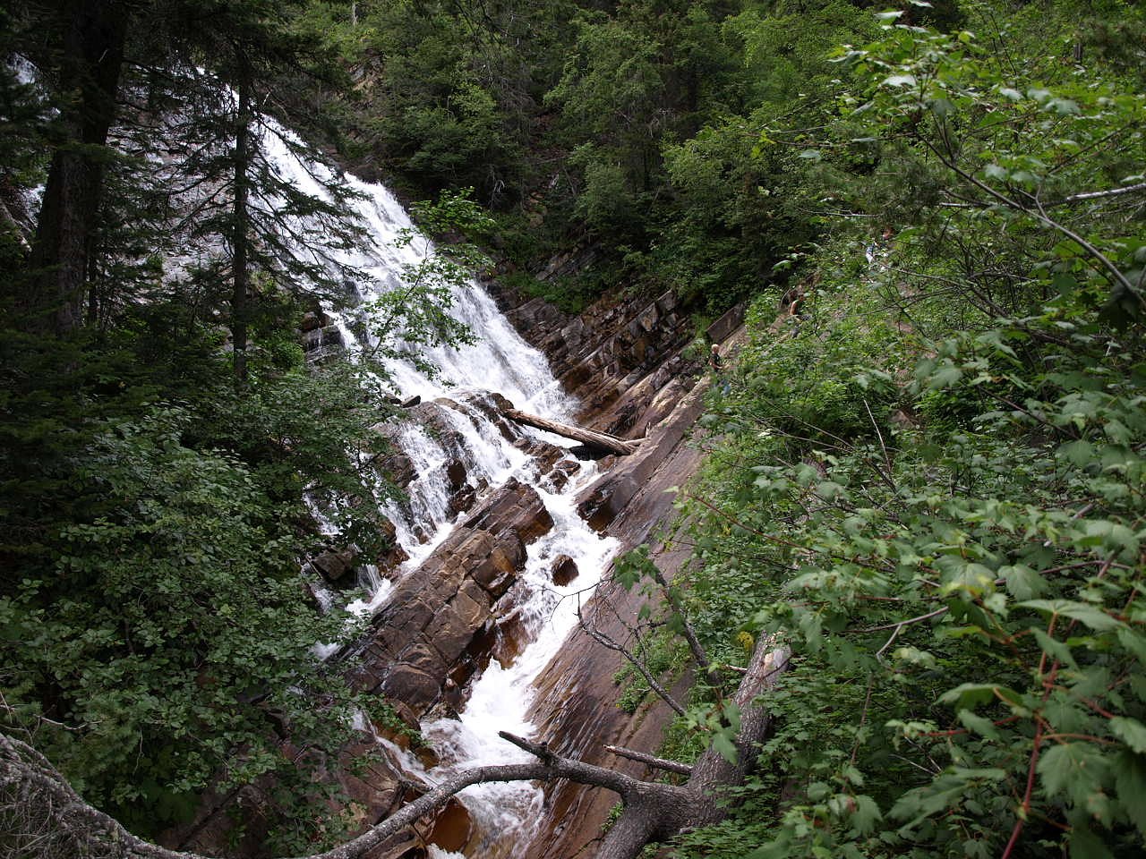
Lineham Falls
Alberta • Waterton Lakes National Park • 125 m
By Armen Suny · Last verified Jun 2026
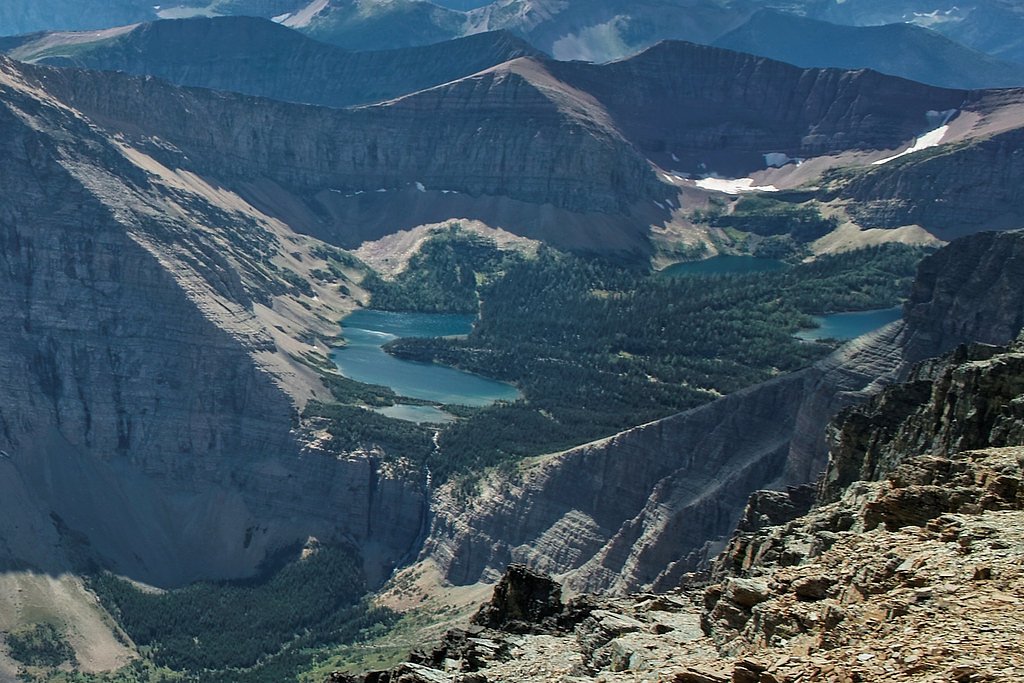
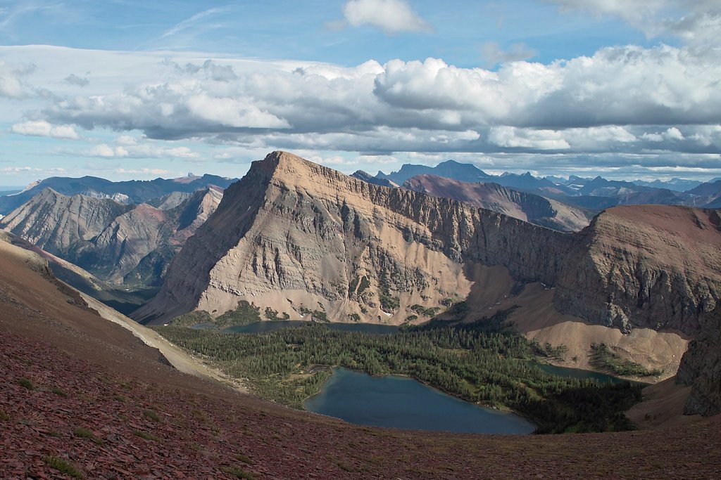
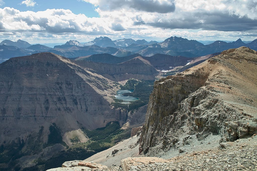
Photo Credits (5)
Difficulty
Moderate
Trail Length
8.4 km
Trail Type
Out And Back
Elevation Gain
350 m
About Lineham Falls
Lineham Falls is a relatively obscure, likely small cascade located very near the Canada–United States border (approximate coordinates 49.0775, -114.0549). The feature is remote and not a well-documented, developed viewpoint; visitor reports suggest it is accessed by rough backcountry or unofficial side trails and may consist of a short drop or series of cascades rather than a single large plunge. Because published, authoritative sources are limited for this specific name and location, some details below are conservative and note uncertainty where appropriate.
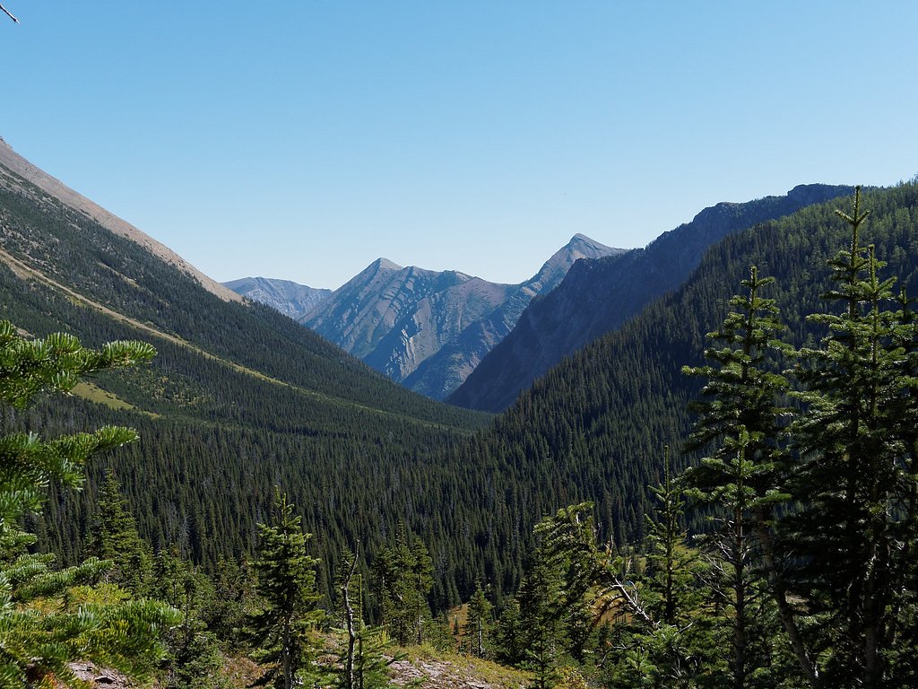
The Setting
Lineham Falls sits at 2,001 metres within Waterton Lakes National Park, in the high mountains of Alberta. At 125 metres, it is among the taller waterfalls in Alberta.
Why This Waterfall Exists
Lineham Falls flows over Purcell Group, a hard volcanic rock layer deposited over 1.0-1.6 billion years ago. The softer shale and siltstone erodes faster than the resistant volcanic rocks and mafic, creating a 410-foot drop where water plunges over the remaining ledge.
Nearby Falls Worth Visiting
Upper Bertha Falls (75 m) lies 10.1 kilometres to the east. Also nearby: Cameron Falls (23 m, 10.5 km).
Trail & Hike Details
The Approach
The moderate 8.4-km out-and-back trail gains 350 metres of elevation on the way to the falls.
Trail Description
There is no widely published, maintained trail described for Lineham Falls. Reaching the falls may require travel on mixed-use forest roads followed by cross-country travel or use of faint social/boot-worn paths. Terrain may include steep banks, rocky stream approaches, and vegetation. Route-finding skills are likely required. Expect an unmarked approach rather than an established, signed trail.
What to Expect
The falls plunge a dramatic 125 metres over hard volcanic rock.
Accessibility
The trail involves steep, uneven terrain with significant elevation change and is not accessible to mobility devices.
Frequently Asked Questions
🐶 Are Dogs Allowed at Lineham Falls?
❌ Dogs are not allowed
Are There Any Fees or Permits Required?
🆖 No fees required
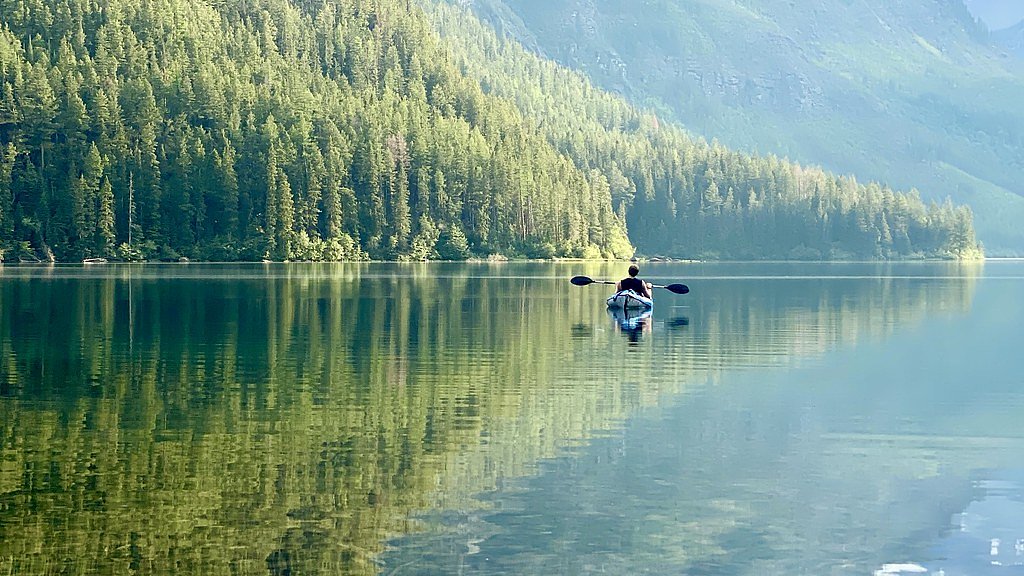
🏊 Is There Swimming at Lineham Falls?
❌ Swimming is not allowed
When to Visit
Late spring through early summer for higher flows and fuller-looking falls; early fall can be good for lower visitor numbers and fall colors. Avoid heavy snow/ice months unless you have winter backcountry experience; winter conditions may make access dangerous or impossible.
Seasonal Access
The best time to visit is Spring, Summer, and Fall. Access roads and trails may close during winter due to snow. Check with Waterton Lakes National Park for current conditions.
Safety Information
This is a remote, lightly documented location. Hazards include slippery rocks, steep and unstable banks, fast-moving water, sudden weather changes, limited or no cell reception, and potential wildlife encounters (including bears). River levels and currents can be deceptively strong, do not enter fast water or attempt river crossings without proper experience and equipment. Bring navigation tools and emergency supplies, tell someone your plan and expected return time, and be prepared to turn back if conditions are unsafe.
Current Water Conditions
20.7 m³/s
Current discharge — how much water is flowing
About average for this time of year
Based on 101 years of record
0.65 m
Water depth at gauge
7-Day Discharge Trend
What does this mean for your visit?
Flow is about average for this time of year.
About This Gauge
This gauge is on a nearby waterway and may not reflect exact conditions at the falls.
7-Day Flow Outlook
Based on the WSC gauge WATERTON RIVER NEAR WATERTON PARK (16 km away).
Today
Moderate
21 m³/s
8/10Tomorrow
Moderate
21 m³/s
6/10Tue
Moderate
20 m³/s
6/10Wed
Moderate
19 m³/s
6/10Thu
Moderate
20 m³/s
6/10Fri
Moderate
18 m³/s
6/10Sat
Moderate
17 m³/s
8/10Best window: Today — moderate flow, sunny (trip score 8/10).
Best time of year: this gauge typically runs highest from late April to late July, peaking in June.
How we calculate this
This is a transparent outlook, not a precise forecast. We take the waterfall's current flow strength (how it ranks against its historical normal for today, from the nearest WSC stream gauge), carry that ranking forward along the gauge's seasonal curve, and nudge it for forecast rain. Confidence is highest for the next day or two and falls further out. Always check official conditions and your own judgment before visiting — high flows can be dangerous.
Weather Forecast
Location & Access
Getting There
Coordinates: 49.0775, -114.0549. The falls sit in a remote area near the Canada–US border, with the nearest named communities listed as Polebridge (~25.0 miles), West Glacier (~31.1 miles), and Coram (~32.1 miles) from the coordinates provided. Access likely requires driving on secondary or forest roads to a trailhead or pullout and then travel by foot on unmarked or lightly used routes. Visitors should plan navigation with a reliable map or GPS and allow extra time for rough, slow travel.
Get Directions on Google MapsParking
There may not be an official parking lot. Expect limited roadside parking or a small pullout on a gravel or forest service road. Park only in designated areas where provided; otherwise use minimal-impact parking off the road and do not block gates or driveways. Availability and legality of parking may vary seasonally.
Elevation
2,001 metres above sea level
Coordinates
49.077514° N, -114.054943° W
Land Management
Managed by Parks Canada Agency
Visitor Tips & Gear
1. Use topographic maps and GPS coordinates to plan your route; do not rely solely on phone maps where service is poor. 2. If you are unfamiliar with backcountry navigation, consider going with someone experienced. 3. Wear sturdy footwear and be prepared for uneven, wet, and slippery surfaces near the water. 4. Carry bear spray and know how to use it; make noise on approach. 5. Check conditions before you go, seasonal road closures, high water, and snow can affect access. 6. Pack out all trash and follow Leave No Trace principles. 7. Do not attempt to cross fast-moving water or climb unstable rock near falls.
This trail sits at 6,565 ft above sea level
Elevated TrailUV radiation is roughly 26% stronger at this elevation than at sea level, and the dry air accelerates dehydration. Extra sun protection and fluids go a long way.
As an Amazon Associate, we earn from qualifying purchases.

Coppertone Sport SPF 50 Sunscreen
UV intensity jumps ~4% per 1,000 ft — at this elevation you can burn in half the time.

Sun Bum SPF 30 Lip Balm (3-Pack)
Lips have almost no natural UV protection and burn fast in thin, dry mountain air.

Liquid I.V. Electrolyte Packets
You lose moisture ~2x faster at elevation — electrolytes help you absorb water efficiently.

ROCKNIGHT Polarized UV400 Sunglasses
High-altitude glare off rock and water is intense — UV400 lenses block 99%+ of UVA/UVB.
As an Amazon Associate, we earn from qualifying purchases.
With 8.4 km and 350 m of elevation gain, sturdy boots and trekking poles will help on this moderate trail. Sun exposure on the trail makes good sun protection a must in summer.

Polarized Sunglasses (Knockaround)
Cuts glare off the water so you actually see the falls — and your photos turn out better too.

Columbia Watertight II Rain Jacket
Packs into its own pocket, seam-sealed, and keeps you dry from spray and surprise rain.

Earth Pak Waterproof Dry Bag
Keeps your phone and gear dry when waterfall mist soaks everything else.

Waterproof Phone Pouch (AiRunTech)
Cheap insurance — take photos right next to the falls without killing your phone.

Timberland Euro Sprint Mid Waterproof
Trusted waterproof boot with premium leather and grippy rubber sole — reliable on rocky, wet trails.

TrailBuddy Trekking Poles
Lightweight aluminum, cork grips, and flip-locks that actually hold — a best-seller for good reason.
Where to Stay
Browse vacation cabins and private rentals nearby
Unique outdoor stays — tents, yurts, and treehouses
Rent a campervan or RV for your waterfall road trip
Some links are affiliate links. We may earn a commission at no extra cost to you.
Nearby Campground
Lone Lake Camp
5.7 km away
Additional Information
Nearby Attractions
Nearest named gateways to the region include areas around Glacier National Park (Montana) and adjoining Canadian backcountry. Depending on your approach, nearby attractions may include forest roads, viewpoints and trailheads serving remote wilderness areas; however, exact nearby official attractions for this specific waterfall are not well documented.
Wildlife
Black bears and possibly grizzly bears (depending on exact jurisdiction and proximity to protected areas), moose, deer, small mammals, and various bird species. Use normal wildlife precautions: store food properly, make noise on the trail, travel in groups where possible.
Nearby Waterfalls

Writing about Lineham Falls? Embed this waterfall on your site for free.