
Photo Credits (1)
About Clark Falls
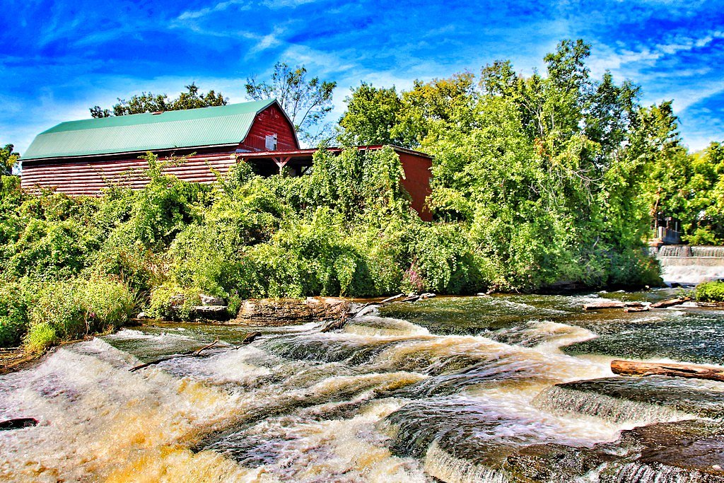
Clark Falls is a small cascade-style waterfall located in central Ontario near the Parry Sound / Orillia area (coordinates: 45.177, -79.5555). It appears to be a modest, scenic drop on a local creek or river and is likely most impressive during spring runoff and after heavy rains. Specific published information about official trail infrastructure, exact height, or management is limited; visitors should be prepared for minimal facilities and informal access.
Why This Waterfall Exists
Clark Falls flows over hard metamorphic rock, primarily migmatite and gneiss, laid down over 1.0-1.6 billion years ago. These resistant rocks form a durable ledge that water cannot easily wear away, creating the falls where softer material downstream has already eroded.
Trail & Hike Details
Trail Description
Detailed, vetted trail descriptions are not readily available for Clark Falls. Access may be via a short, unmaintained footpath or from a roadside pullout. Expect uneven terrain, tree roots, and possibly wet or muddy sections. There may be little or no trail infrastructure (no boardwalks or railings). If approaching from a nearby road, the walk to the falls is likely brief but can be steep or scramble-like near the stream banks.
What to Expect
A modest cascade set among typical mixed forest of central Ontario. Flow is seasonal, highest in spring and after heavy rains, lower in late summer. Facilities (restrooms, trash bins, signage) are likely minimal or nonexistent. Cell service may be intermittent depending on your carrier. The immediate area may have slippery rocks, fallen logs, and uneven ground.
Accessibility
There is no verified information indicating wheelchair or stroller accessibility. Expect uneven, potentially steep or muddy terrain, likely not accessible for those requiring paved or level surfaces.
Frequently Asked Questions
🐶 Are Dogs Allowed at Clark Falls?
❌ Dogs are not allowed
Are There Any Fees or Permits Required?
🆖 No fees required
🏊 Is There Swimming at Clark Falls?
❌ Swimming is not allowed
When to Visit
Late spring for high flows and scenic water volume; early fall for color. Summer is fine for access but flows may be reduced. Winter offers frozen scenery but comes with ice hazards, only visit if experienced in winter conditions and with appropriate gear.
Seasonal Access
The best time to visit is Spring, Summer, Fall, and Winter. Check with the managing park or local authority for current conditions.
Safety Information
• Rocks around waterfalls are commonly slippery, avoid getting too close to the edge. • Water levels and currents can change rapidly after rain, avoid wading in fast water. • Winter ice can be unstable and dangerous; do not assume frozen falls are safe to walk on. • Prepare for limited or no facilities; bring water and emergency supplies. • If the area is remote, tell someone your plans and expected return time. • Follow Leave No Trace principles and respect private property.
Current Water Conditions
1.3 m³/s
Current discharge — how much water is flowing
About average for this time of year
Based on 59 years of record
1.09 m
Water depth at gauge
7-Day Discharge Trend
What does this mean for your visit?
Flow is about average for this time of year.
About This Gauge
This gauge is on a nearby waterway and may not reflect exact conditions at the falls.
7-Day Flow Outlook
Based on the WSC gauge MOON RIVER AT HIGHWAY NO. 400 (22 km away).
Today
Moderate
1.3 m³/s
6/10Tomorrow
Moderate
1.4 m³/s
6/10Tue
Moderate
1.5 m³/s
6/10Wed
Moderate
1.4 m³/s
6/10Thu
Moderate
1.3 m³/s
6/10Fri
Moderate
1.4 m³/s
6/10Sat
Moderate
1.4 m³/s
8/10Best window: Sat — moderate flow, mainly sunny (trip score 8/10).
Best time of year: this gauge typically runs highest from early March to early June, peaking in April.
How we calculate this
This is a transparent outlook, not a precise forecast. We take the waterfall's current flow strength (how it ranks against its historical normal for today, from the nearest WSC stream gauge), carry that ranking forward along the gauge's seasonal curve, and nudge it for forecast rain. Confidence is highest for the next day or two and falls further out. Always check official conditions and your own judgment before visiting — high flows can be dangerous.
Know when to go.
Get a free email alert when waterfalls near Parry Sound hit peak flow. We only send when conditions are worth the trip — no weekly newsletters, no spam.
Weather Forecast
Location & Access
Getting There
Located roughly 28 miles (45 km) from Parry Sound and 34 miles (55 km) from Orillia. Use the coordinates 45.177, -79.5555 in a GPS device or mapping app as the primary reference. Access may be via local secondary roads; expect some signage to be limited or absent. Confirm final access route locally before setting out.
Get Directions on Google MapsParking
Parking information is not well-documented. There may be limited roadside parking or an informal pullout near the site. Do not block driveways or private property; if no designated lot exists, park well off the road and legally. If uncertain, assume parking is minimal and plan to carpool or use a smaller vehicle.
Elevation
253 metres above sea level
Coordinates
45.177035° N, -79.555535° W
Visitor Tips & Gear
• Use the provided coordinates and confirm local access before you go. • Wear sturdy, waterproof footwear with good traction, rocks near the falls will be slippery. • Bring insect repellent in warm months (ticks and mosquitoes can be common). • Respect private property and posted signs; do not trespass. • Pack out all trash and minimize noise. • Avoid getting too close to the edge; wet rock and undercut banks are hazardous. • If visiting in winter, be aware that ice around falls can be unstable and dangerous.
Where to Stay
Browse vacation cabins and private rentals nearby
Unique outdoor stays — tents, yurts, and treehouses
Rent a campervan or RV for your waterfall road trip
Some links are affiliate links. We may earn a commission at no extra cost to you.
Nearby Campground
Campfire Muskoka
6.9 km away
Additional Information
Nearby Attractions
General region includes Georgian Bay shoreline and provincial parks near Parry Sound; Orillia and Parry Sound towns offer services and visitor information. Check local tourism resources for specific attractions and up-to-date suggestions.
Wildlife
Typical central Ontario wildlife may include white-tailed deer, raccoons, foxes, coyotes, black bears (less common but possible), a variety of birds, and small mammals. Ticks and mosquitoes are common in warmer months.
Cities near Clark Falls
Nearby Waterfalls
Writing about Clark Falls? Embed this waterfall on your site for free.