Photo Credits (3)
Difficulty
Moderate
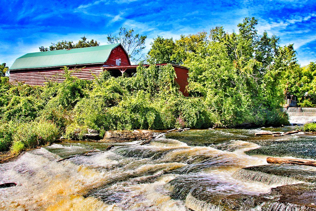
About Still Falls
Still Falls is a small, likely seasonal waterfall located in the Parry Sound / Muskoka region of Ontario (coordinates 45.1213, -79.7099). The falls appear in a forested, mixed-hardwood landscape typical of the area and are best known locally for a peaceful setting and natural pools and bedrock below the drop. Water flow is likely highest in spring and after heavy rain and may be reduced in late summer and early fall. Exact developed facilities (viewing platforms, rails) are not confirmed and may be minimal or absent.
Why This Waterfall Exists
Still Falls flows over hard metamorphic rock, primarily migmatite and gneiss, laid down over 1.0-1.6 billion years ago. These resistant rocks form a durable ledge that water cannot easily wear away, creating the falls where softer material downstream has already eroded.
Trail & Hike Details
Trail Description
Trail access and conditions are not well-documented in major trail databases. Expect a forested approach that may be narrow, uneven, and include roots, rocks, and possibly short steep sections or a scramble to reach the water. The final approach to the falls may be across wet bedrock and can be slippery. Trails may be faint or unmarked in places; navigation by GPS coordinates and map is recommended.
What to Expect
Natural, undeveloped setting with bedrock, pools, and forest. There may be little to no visitor infrastructure (no restrooms, picnic tables, or railings). Flow varies seasonally, peak flow in spring/after rains, lower in late summer. Rocks around the falls are often slippery and potentially covered by algae or ice depending on season. Cell service may be spotty.
Accessibility
The trail is not wheelchair accessible. Uneven terrain and elevation changes require steady footing.
Frequently Asked Questions
🐶 Are Dogs Allowed at Still Falls?
❌ Dogs are not allowed
Are There Any Fees or Permits Required?
🆖 No fees required
🏊 Is There Swimming at Still Falls?
❌ Swimming is not allowed
When to Visit
Late spring (snowmelt and higher flows) for strongest water flow; early fall for colorful foliage and typically stable weather. Summer visits are common but flows may be lower. Winter can offer frozen-waterfall views but presents increased hazards.
Seasonal Access
The best time to visit is Spring, Summer, Fall, and Winter. Check with the managing park or local authority for current conditions.
Safety Information
Hazards can include slippery bedrock, steep drops, cold water, variable flows, and limited cell reception. Rocks near falls may be wet and algal-covered, avoid getting too close to edges. In winter, ice can be unstable; treat frozen waterfalls with extreme caution. If visiting remote areas, tell someone your plans and expected return time.
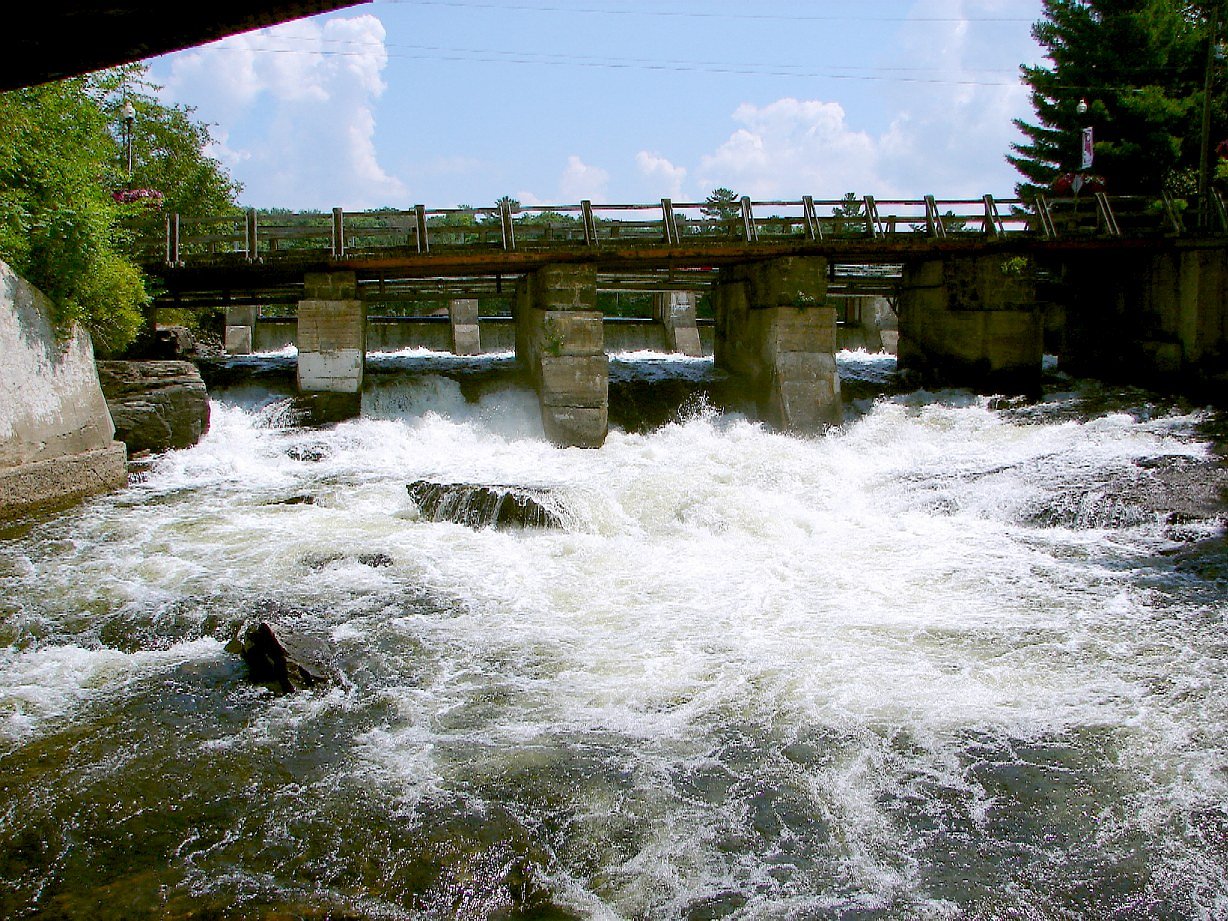
Current Water Conditions
1.3 m³/s
Current discharge — how much water is flowing
About average for this time of year
Based on 59 years of record
1.09 m
Water depth at gauge
7-Day Discharge Trend
What does this mean for your visit?
Flow is about average for this time of year.
About This Gauge
This gauge is on a nearby waterway and may not reflect exact conditions at the falls.
7-Day Flow Outlook
Based on the WSC gauge MOON RIVER AT HIGHWAY NO. 400 (9 km away).
Today
Moderate
1.3 m³/s
6/10Tomorrow
Moderate
1.4 m³/s
6/10Tue
Moderate
1.6 m³/s
6/10Wed
Moderate
1.4 m³/s
8/10Thu
Moderate
1.3 m³/s
6/10Fri
Moderate
1.4 m³/s
6/10Sat
Moderate
1.4 m³/s
8/10Best window: Wed — moderate flow, cloudy (trip score 8/10).
Best time of year: this gauge typically runs highest from early March to early June, peaking in April.
How we calculate this
This is a transparent outlook, not a precise forecast. We take the waterfall's current flow strength (how it ranks against its historical normal for today, from the nearest WSC stream gauge), carry that ranking forward along the gauge's seasonal curve, and nudge it for forecast rain. Confidence is highest for the next day or two and falls further out. Always check official conditions and your own judgment before visiting — high flows can be dangerous.
Know when to go.
Get a free email alert when waterfalls near Parry Sound hit peak flow. We only send when conditions are worth the trip — no weekly newsletters, no spam.
Weather Forecast
Location & Access
Getting There
Located roughly 24 miles (approx.) from Parry Sound and 38 miles from Orillia. Access is typically from local forest roads or minor gravel roads off the regional highway network in the Parry Sound district. Use the provided coordinates (45.1213, -79.7099) for navigation; final approach may require following an unmarked trail or short cross-country walk. Cell reception may be limited in places.
Get Directions on Google MapsParking
Parking is likely limited to a small roadside pullout or informal parking area. There may be no formal parking lot or facilities. If parking on a roadside, park fully off the road and avoid blocking driveways or gates.
Elevation
234 metres above sea level
Coordinates
45.121333° N, -79.709889° W
Visitor Tips & Gear
1) Use the coordinates and a reliable map; trails may be unmarked. 2) Wear sturdy, grippy footwear; expect slippery rock and uneven terrain. 3) Bring insect repellent (ticks and mosquitoes possible) and check for ticks afterwards. 4) Park considerately and avoid blocking roads or gates. 5) Practice Leave No Trace, pack out all trash. 6) If visiting in winter, be cautious of ice and severe conditions; approach frozen falls with extreme care or avoid getting close to ice over water.
Where to Stay
Browse vacation cabins and private rentals nearby
Unique outdoor stays — tents, yurts, and treehouses
Rent a campervan or RV for your waterfall road trip
Some links are affiliate links. We may earn a commission at no extra cost to you.
Nearby Campground
Muskoka Woods
16 km away
Additional Information
Nearby Attractions
Parry Sound and the larger Georgian Bay / Muskoka region offer numerous lakes, provincial parks, and scenic drives. Killbear Provincial Park, Georgian Bay shoreline access, and local hiking opportunities are regionally nearby (distances vary).
Wildlife
Typical central Ontario wildlife may include white-tailed deer, black bears, moose (less common), beavers, raccoons, and a variety of birds. Ticks are present in warmer months, check for ticks after outings.
Cities near Still Falls
Nearby Waterfalls

Writing about Still Falls? Embed this waterfall on your site for free.