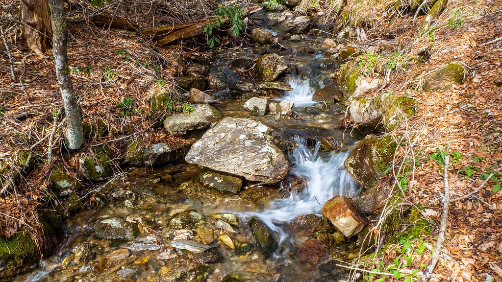
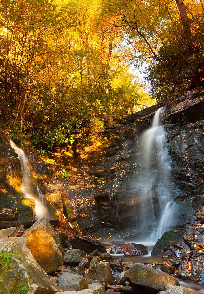
Woodfin Falls
By Armen Suny · Last verified May 2026
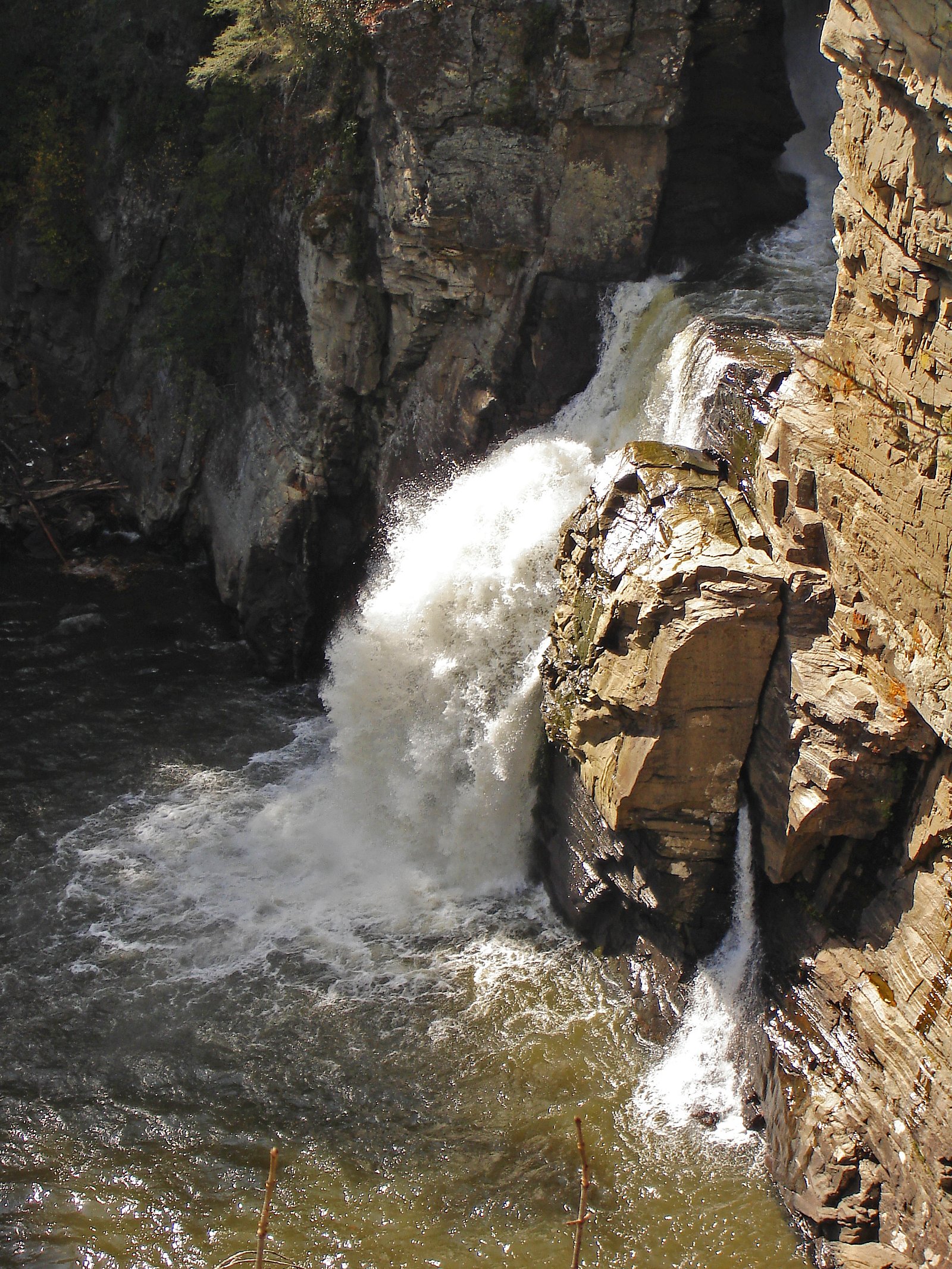
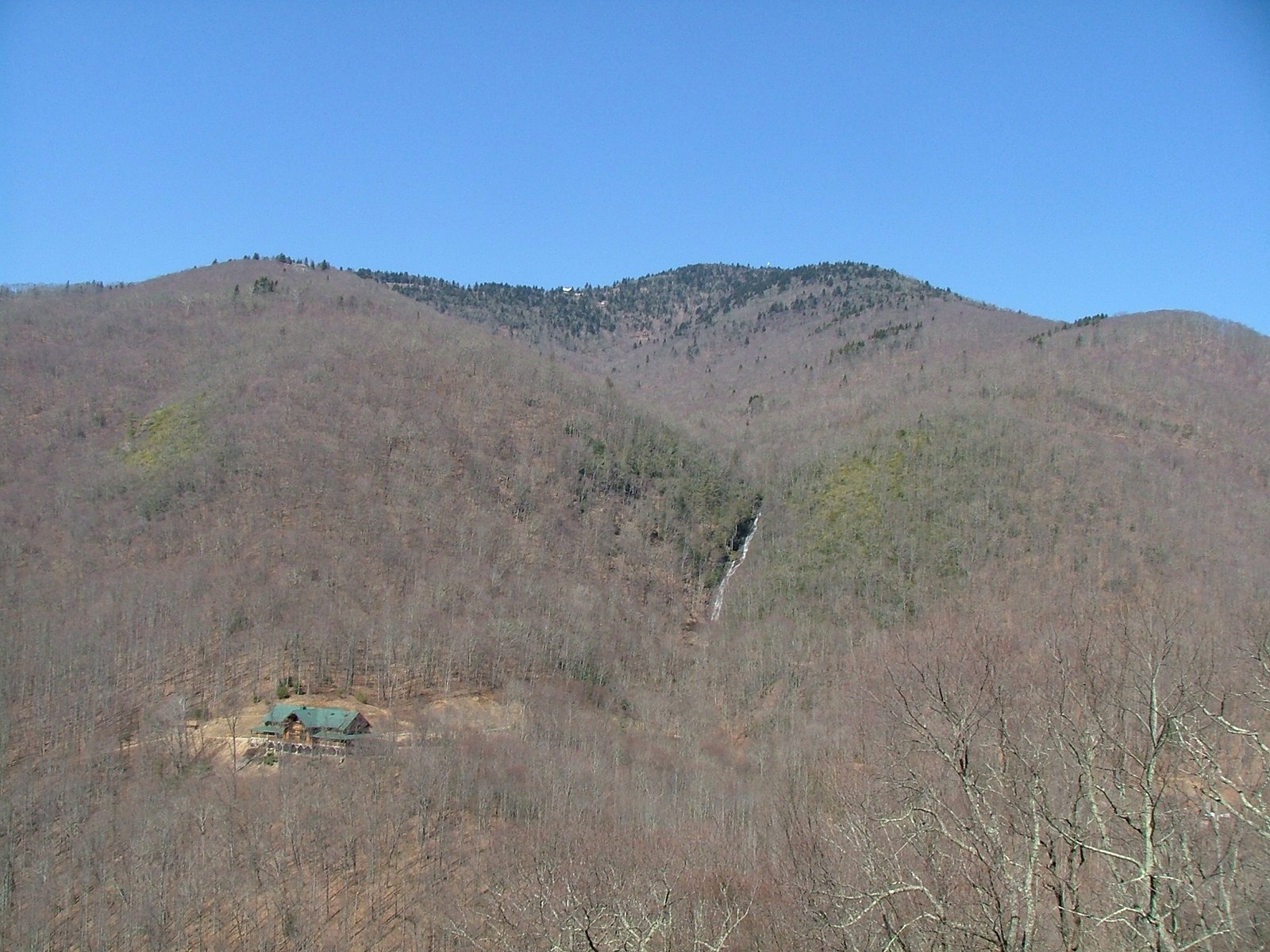
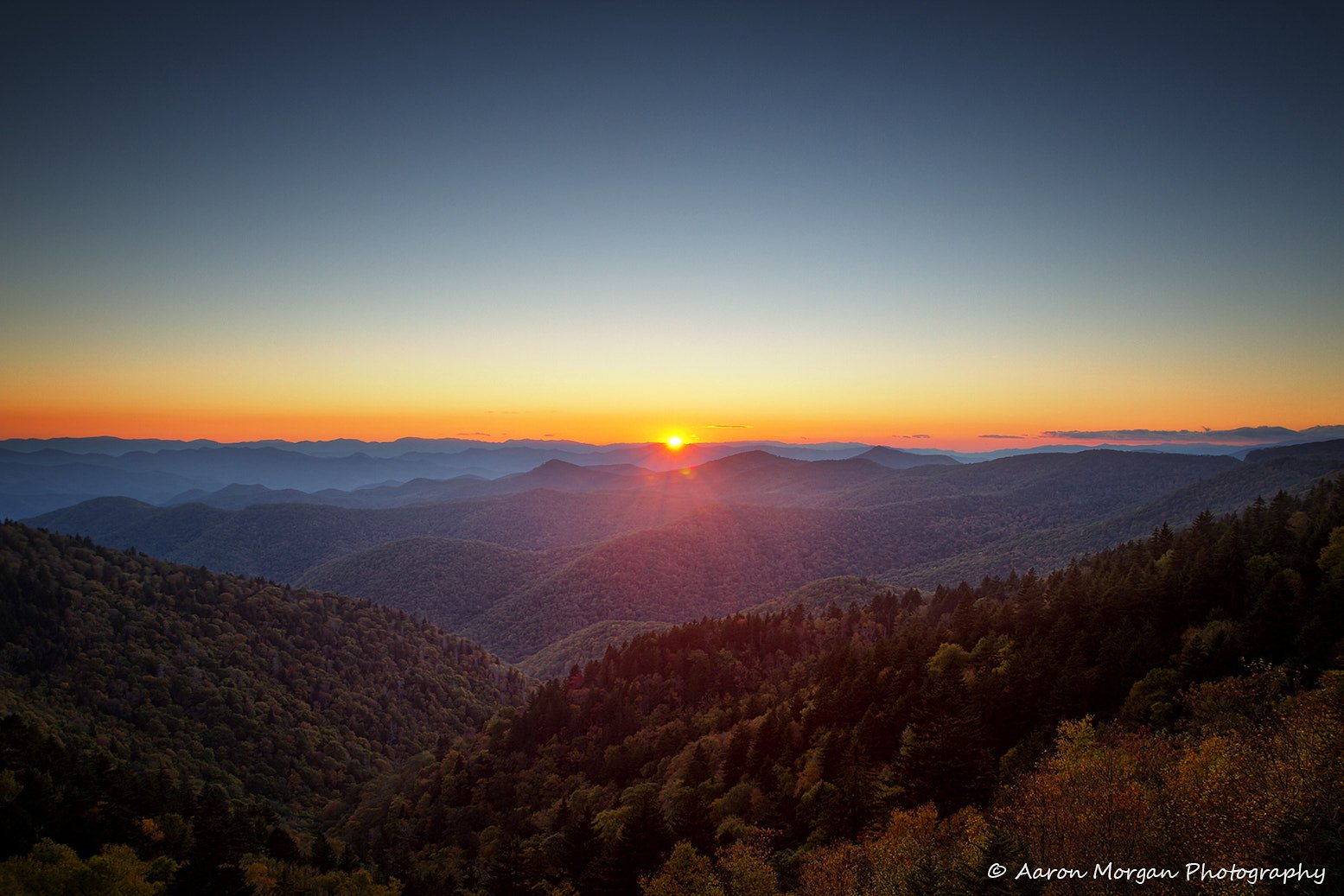
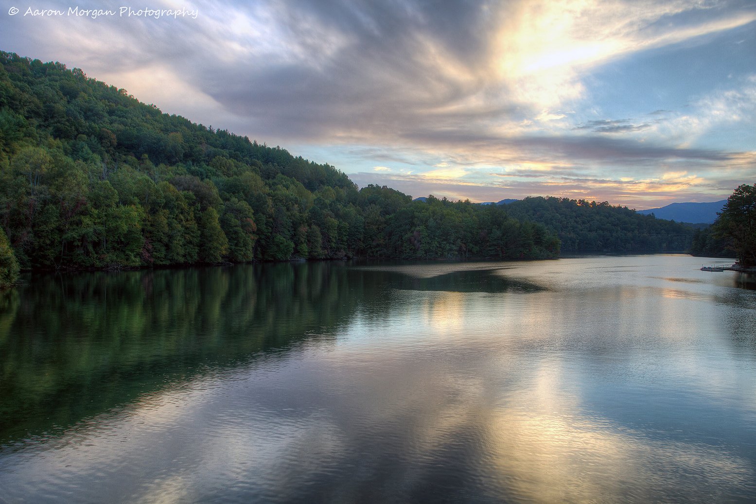

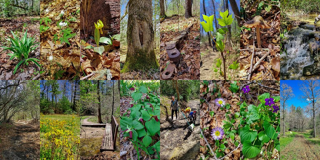
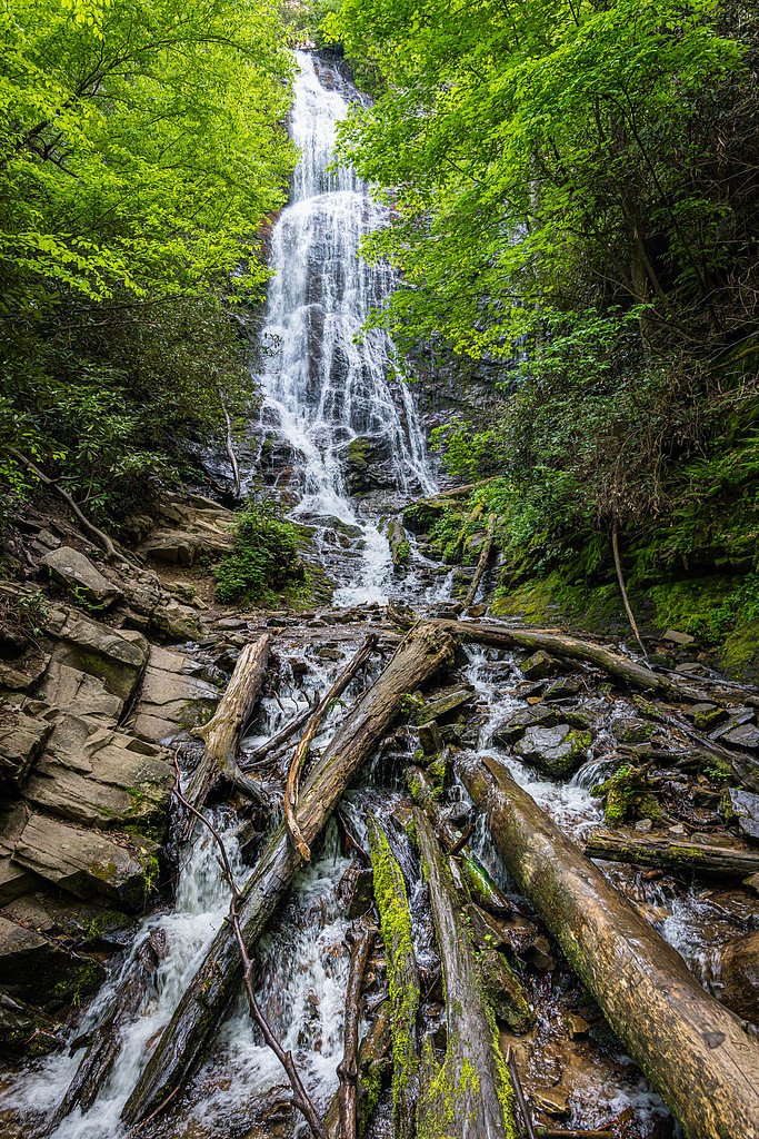
Photo Credits (5)
Difficulty
Moderate
Trail Length
2.4 miles
Trail Type
Out And Back
Elevation Gain
350 ft
About Woodfin Falls
Woodfin Falls is a picturesque waterfall tucked into the forested corridor of the Blue Ridge Parkway in North Carolina. Managed by the National Park Service as part of the Parkway (designation: SDA), the falls is a quieter, less-visited spot that rewards hikers seeking a peaceful, scenic stop away from busier attractions. Access to the falls is achieved via a moderate out-and-back hike of roughly 2.4 miles with about 350 feet of elevation gain. The route’s moderate rating makes it a good half-day excursion for visitors who want a relaxed outing within the Parkway, with NPS stewardship helping preserve the surrounding landscape.
The Setting
Woodfin Falls sits at 4,098 feet within Blue Ridge Parkway, in the mountains of North Carolina.
Nearby Falls Worth Visiting
Flat Creek Falls (200 ft) lies 8.0 miles to the northwest. Also nearby: Mingo Falls (120 ft, 11.3 mi).
Trail & Hike Details
The Approach
The moderate 2.4-mile out-and-back trail gains 350 feet of elevation on the way to the falls.
Trail Description
Trail type: out-and-back; length: 2.4 miles; elevation gain: ~350 ft; difficulty: moderate. The National Park Service data does not specify a formal trail surface, grade, or technical class for the route to Woodfin Falls, so conditions can vary. Hikers should be prepared with appropriate footwear and expect a typical unpaved footpath experience under NPS management within the Blue Ridge Parkway (SDA).
What to Expect
Visitors can expect a tranquil waterfall surrounded by natural forested scenery. The area may be less crowded compared to more popular waterfalls in the region.
Accessibility
The trail is not wheelchair accessible. Uneven terrain and elevation changes require steady footing.
Frequently Asked Questions
🐶 Are Dogs Allowed at Woodfin Falls?
❌ Dogs are not allowed
Are There Any Fees or Permits Required?
🆖 No fees required
🏊 Is There Swimming at Woodfin Falls?
❌ Swimming is not allowed
When to Visit
Spring and early summer are ideal for visiting, as the waterfall flow is typically stronger due to seasonal rainfall.
Seasonal Access
The best time to visit is Spring, Summer, and Fall. Winter access may be limited. Check the National Park Service website for current conditions.
Safety Information
Visitors should be cautious of slippery rocks near the waterfall and uneven terrain on the trail. Cell service may be limited in the area.
Current Water Conditions
29 ft³/s
Current discharge — how much water is flowing
Much lower than usual for this time of year
Based on 72 years of record
0.91 ft
Water depth at gauge
71°F
WarmVery comfortable
7-Day Discharge Trend
What does this mean for your visit?
Flow is well below normal for this time of year, so the waterfall may be a trickle. The water is a comfortable 71 degrees F, pleasant for swimming.
About This Gauge
This gauge is on a nearby waterway and may not reflect exact conditions at the falls.
7-Day Flow Outlook
Based on the USGS gauge W F PIGEON R ABOVE LAKE LOGAN NR HAZELWOOD, NC (16 km away).
Today
Moderate
33 cfs
4/10Tomorrow
Moderate
33 cfs
6/10Thu
Moderate
31 cfs
6/10Fri
Moderate
34 cfs
6/10Sat
Moderate
31 cfs
6/10Sun
Moderate
31 cfs
6/10Mon
Moderate
30 cfs
6/10Best window: Tomorrow — moderate flow, mostly sunny then chance showers and thunderstorms (trip score 6/10).
Best time of year: this gauge typically runs highest from mid February to late April, peaking in March.
How we calculate this
This is a transparent outlook, not a precise forecast. We take the waterfall's current flow strength (how it ranks against its historical normal for today, from the nearest USGS stream gauge), carry that ranking forward along the gauge's seasonal curve, and nudge it for forecast rain. Confidence is highest for the next day or two and falls further out. Always check official conditions and your own judgment before visiting — high flows can be dangerous.
Know when to go.
Get a free email alert when waterfalls near Maggie Valley hit peak flow. We only send when conditions are worth the trip — no weekly newsletters, no spam.
Weather Forecast
Location & Access
Getting There
Woodfin Falls is located near the Blue Ridge Parkway in North Carolina. Access to the falls may require navigating local roads and potentially a short hike, though specific directions are not widely documented.
Get Directions on Google MapsParking
Parking availability is unclear, but visitors may need to park along nearby roads or at designated trailheads if available.
Elevation
4,098 feet above sea level
Coordinates
35.449344° N, -83.100822° W
Land Management
Managed by NPS
Visitor Tips & Gear
Bring a map or GPS device as trail markings may be unclear. Check weather conditions before visiting, as trails could become slippery after rain.
As an Amazon Associate, we earn from qualifying purchases.
With 2.4 miles and 350 ft of elevation gain, sturdy boots and trekking poles will help on this moderate trail. Sun exposure on the trail makes good sun protection a must in summer.
America the Beautiful Annual Pass
Covers entrance fees at 2,000+ federal recreation sites — required at most National Parks.

Polarized Sunglasses (Knockaround)
Cuts glare off the water so you actually see the falls — and your photos turn out better too.

Columbia Watertight II Rain Jacket
Packs into its own pocket, seam-sealed, and keeps you dry from spray and surprise rain.

Earth Pak Waterproof Dry Bag
Keeps your phone and gear dry when waterfall mist soaks everything else.

Waterproof Phone Pouch (AiRunTech)
Cheap insurance — take photos right next to the falls without killing your phone.

Timberland Euro Sprint Mid Waterproof
Trusted waterproof boot with premium leather and grippy rubber sole — reliable on rocky, wet trails.

TrailBuddy Trekking Poles
Lightweight aluminum, cork grips, and flip-locks that actually hold — a best-seller for good reason.
Where to Stay

Comfort Inn near Great Smoky Mountain National Park

Comfort Inn Sylva - Cullowhee

Quality Inn & Suites Maggie Valley - Cherokee Area

The Terrace Hotel at Lake Junaluska
Browse vacation cabins and private rentals nearby
Unique outdoor stays — tents, yurts, and treehouses
Rent a campervan or RV for your waterfall road trip
Some links are affiliate links. We may earn a commission at no extra cost to you.
Nearby Campground
CATALOOCHEE HORSE CAMP
12.4 miles away · 7 sites
Overview Located in the scenic Cataloochee Valley, tucked in a cool and shady canopy, this campground offers the best that the Great Smoky Mountains National park has to offer, including some of the most coveted horseback riding trails in the park. World-renowned for its diversity of plant and animal life, the beauty of its ancient mountains and the preservation of Southern Appalachian culture, the Great Smoky Mountains is America's most visited national park. You MUST have a HORSE to camp at Ca
Book on Recreation.govNearby Hot Springs
Hot springs near Maggie Valley, North Carolina

Looking for a soak after your hike? Explore more hot springs near Maggie Valley, North Carolina on SoakingSprings.
Explore North Carolina springsAdditional Information
Nearby Attractions
The Blue Ridge Parkway and other waterfalls in the region, such as Crabtree Falls, are nearby attractions.
Wildlife
The area may feature local wildlife such as birds, deer, and small mammals. Visitors should be cautious of snakes and other potentially hazardous animals.
Cities near Woodfin Falls
Nearby Waterfalls
Writing about Woodfin Falls? Embed this waterfall on your site for free.