West Dell Falls
By Armen Suny · Last verified May 2026
Difficulty
Moderate
Trail Length
2.4 miles
Trail Type
Out And Back
Elevation Gain
350 ft
About West Dell Falls
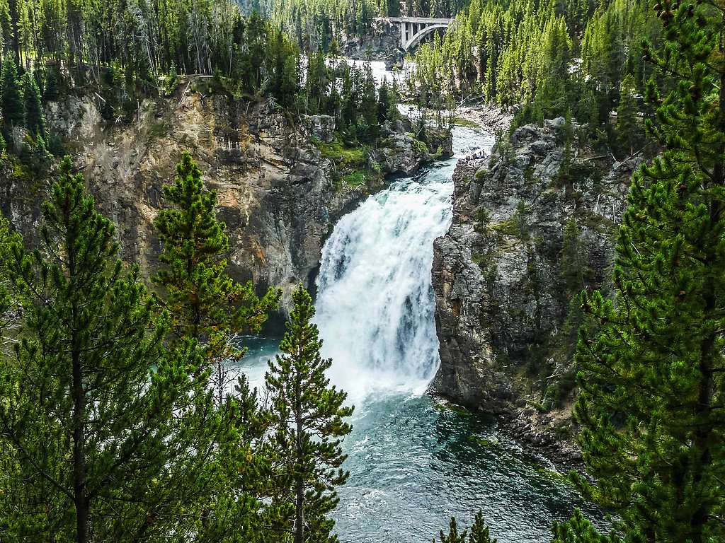
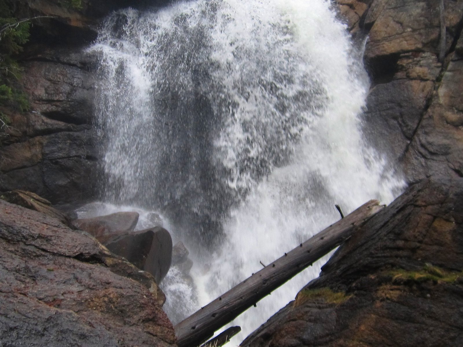
West Dell Falls is a quietly scenic cascade tucked into Teton National Forest and managed by the U.S. Forest Service. The falls are a great pick for hikers seeking a peaceful, lesser-known destination: flows swell in spring and early summer with snowmelt, and the pool and surrounding vegetation make it a pleasant spot to pause and enjoy the forested setting. Because it sits on National Forest land, the setting feels open and wild rather than developed. Access is via the USFS Dell Creek Trail (Trail #2124). The approach is a moderate out-and-back that gains about 350 feet over roughly 2.4 miles round trip, making it suitable for most hikers who are comfortable with moderate terrain and a shorter backcountry outing. The route’s moderate difficulty and forested corridor make West Dell Falls an inviting half-day adventure for locals and visitors alike.
The Setting
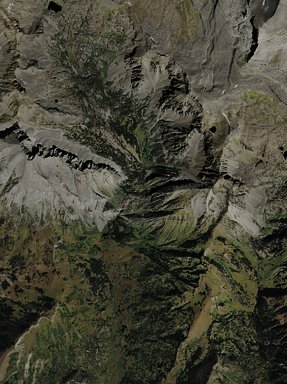
West Dell Falls sits at 8,648 feet within Teton National Forest, fed by the Hoback River, in the high alpine of Wyoming.
Trail & Hike Details
The Approach
The moderate hike follows Dell Creek (#2124), a 2.4-mile out-and-back trail over natural surface. Expect 350 feet of elevation gain. The trail is developed (Class 3).
USFS Trail
DELL CREEK #2124
Trail Class
Developed
Surface
USFS Segment
0.43 miTrail Description
Dell Creek Trail (USFS Trail #2124) is the official approach to West Dell Falls. The overall outing is a 2.4-mile out-and-back with approximately 350 feet of elevation gain and is rated moderate. USFS trail data lists the route as Class 3 with a native material surface; the GIS segment length is recorded as 0.43 miles on Forest Service maps. Hikers should expect a natural tread (native soil) and a moderate-grade ascent—check current Forest Service conditions for any seasonal changes before heading out.
What to Expect
Visitors can expect a tranquil environment with scenic views of the waterfall and surrounding wilderness. The area may have uneven terrain, so sturdy footwear is recommended.
Accessibility
The trail is not wheelchair accessible. Uneven terrain and elevation changes require steady footing.
Frequently Asked Questions
🐶 Are Dogs Allowed at West Dell Falls?
❌ Dogs are not allowed
Are There Any Fees or Permits Required?
🆖 No fees required
🏊 Is There Swimming at West Dell Falls?
❌ Swimming is not allowed
When to Visit
Spring and early summer are the best times to visit, as the waterfall is likely to have the highest flow due to snowmelt.
Seasonal Access
The best time to visit is Spring, Summer, and Fall. Access roads and trails may close during winter due to snow. Check with Teton National Forest for seasonal road closures.
Safety Information
Visitors should be prepared for uneven terrain and potential wildlife encounters. Carry bear spray if hiking in bear country and inform someone of your plans before heading out.
Current Water Conditions
Based on a USGS gauge 18.5 miles away
931 ft³/s
Current discharge — how much water is flowing
Much lower than usual for this time of year
Based on 19 years of record
6.05 ft
Water depth at gauge
55°F
ColdBracing — limit time in water
7-Day Discharge Trend
What does this mean for your visit?
Flow is well below normal for this time of year, so the waterfall may be a trickle. Water temperature is a bracing 55 degrees F, limit your time in the water.
About This Gauge
This gauge is on a regional waterway. Conditions at the falls may differ, especially after local rain.
7-Day Flow Outlook
Based on the USGS gauge HOBACK RIVER NEAR JACKSON, WY (30 km away).
Today
Barely Flowing
931 cfs
5/10Tomorrow
Low
1038 cfs
3/10Fri
Moderate
1059 cfs
4/10Sat
Moderate
1071 cfs
4/10Sun
Low
919 cfs
4/10Mon
Low
907 cfs
4/10Tue
Barely Flowing
789 cfs
5/10Best window: Today — barely flowing flow, mostly sunny (trip score 5/10).
Best time of year: this gauge typically runs highest from late April to late July, peaking in June.
How we calculate this
This is a transparent outlook, not a precise forecast. We take the waterfall's current flow strength (how it ranks against its historical normal for today, from the nearest USGS stream gauge), carry that ranking forward along the gauge's seasonal curve, and nudge it for forecast rain. Confidence is highest for the next day or two and falls further out. Always check official conditions and your own judgment before visiting — high flows can be dangerous.
Know when to go.
Get a free email alert when waterfalls near Bondurant hit peak flow. We only send when conditions are worth the trip — no weekly newsletters, no spam.
Weather Forecast
Location & Access
Getting There
The exact location of West Dell Falls is not widely documented. Visitors are advised to consult local hiking resources or contact nearby ranger stations for directions and trailhead information.
Get Directions on Google MapsParking
Parking availability is unclear. Visitors should prepare for limited parking options and consider carpooling if traveling with a group.
Elevation
8,648 feet above sea level
Coordinates
43.331050° N, -110.313515° W
Land Management
Managed by USFS
Visitor Tips & Gear
Bring a map or GPS device as the trail may not be well-marked. Check weather conditions before visiting, as the area may become muddy or slippery after rain.
This trail sits at 8,648 ft — the air is noticeably thinner
High AltitudeSome visitors experience headaches, fatigue, or shortness of breath at this elevation. Take it slow, stay hydrated, and consider supplemental oxygen if you're coming from a lower altitude.
As an Amazon Associate, we earn from qualifying purchases.

Coppertone Sport SPF 50 Sunscreen
UV intensity jumps ~4% per 1,000 ft — at this elevation you can burn in half the time.

Sun Bum SPF 30 Lip Balm (3-Pack)
Lips have almost no natural UV protection and burn fast in thin, dry mountain air.

Liquid I.V. Electrolyte Packets
You lose moisture ~2x faster at elevation — electrolytes help you absorb water efficiently.

ROCKNIGHT Polarized UV400 Sunglasses
High-altitude glare off rock and water is intense — UV400 lenses block 99%+ of UVA/UVB.

Boost Oxygen 10L Canister (2-Pack)
Portable supplemental oxygen for quick relief from headaches and shortness of breath.

Altitude Rx OxyBoost Complex
Antioxidant formula designed to support your body's natural altitude acclimation.
As an Amazon Associate, we earn from qualifying purchases.
With 2.4 miles and 350 ft of elevation gain, sturdy boots and trekking poles will help on this moderate trail. Sun exposure on the trail makes good sun protection a must in summer.

Columbia Watertight II Rain Jacket
Packs into its own pocket, seam-sealed, and keeps you dry from spray and surprise rain.

Earth Pak Waterproof Dry Bag
Keeps your phone and gear dry when waterfall mist soaks everything else.

Waterproof Phone Pouch (AiRunTech)
Cheap insurance — take photos right next to the falls without killing your phone.

Timberland Euro Sprint Mid Waterproof
Trusted waterproof boot with premium leather and grippy rubber sole — reliable on rocky, wet trails.

TrailBuddy Trekking Poles
Lightweight aluminum, cork grips, and flip-locks that actually hold — a best-seller for good reason.

Polarized Sunglasses (Knockaround)
Cuts glare off the water so you actually see the falls — and your photos turn out better too.
Where to Stay

Crooked Creek Guest Ranch

Studio Cabin with Mtn Views by the Green River!

Cozy Cora Studio Cabin w/ Wind River Mtn Views

Rustic Bondurant Cabin Fish, Hike, and Bike!
Browse vacation cabins and private rentals nearby
Unique outdoor stays — tents, yurts, and treehouses
Rent a campervan or RV for your waterfall road trip
Some links are affiliate links. We may earn a commission at no extra cost to you.
Nearby Campground
HOBACK GUARD STATION
9.7 miles away · 2 sites
Overview Water & Power are NOT GUARANTEED, Hoback Guard Station was built in 1935 by the CCC to be used as a working Ranger Station, and is considered eligible to the National Register of Historic Places. About 34 miles from Jackson, Wyoming, This guard station beckons guests who want a scenic backcountry experience with the convenience of electricity and running water and great mountain scenery. Water is NOT available until Mid June or July and will be turned off Mid Sept due to freezing temps a
Book on Recreation.govNearby Hot Springs
Hot springs near Bondurant, Wyoming
Granite Falls Hot Springs
This Forest Service-maintained spring produces 112-degree Fahrenheit water at 6,882 feet elevation, accessible via 625-foot wal...

Granite Hot Spring
This spring produces 106-degree Fahrenheit water at 7,035 feet elevation on Forest Service land, emerging 750 feet from the roa...
Kendall Warm Spring
Kendall Warm Spring emerges at 86 degrees with pH 7.8 and high sulfate content (650 mg/L) at 7,820 feet in Bridger National For...

Astoria Mineral Hot Springs
Astoria Mineral Hot Springs flows at 99°F from a roadside location 75.9 meters from West Johnny Counts Road in Teton County, Wy...

Kelly Warm Spring
Kelly Warm Spring flows at 81 degrees Fahrenheit just 108 meters from Gros Ventre Road at 6,684 feet elevation in Grand Teton N...

Abercrombie Warm Springs
Abercrombie Warm Springs flows at 81°F within Grand Teton National Park, requiring a 104-meter walk from Warm Springs Road. The...
Looking for a soak after your hike? Explore more hot springs near Bondurant, Wyoming on SoakingSprings.
Explore Wyoming springsAdditional Information
Nearby Attractions
Nearby attractions are not well-documented, but the surrounding area may offer additional hiking trails and scenic viewpoints.
Wildlife
The area may be home to various wildlife, including deer, birds, and small mammals. Visitors should be cautious of potential encounters with larger animals such as bears.
Cities near West Dell Falls
Nearby Waterfalls
Writing about West Dell Falls? Embed this waterfall on your site for free.