
Photo Credits (5)
Difficulty
Moderate
Trail Length
2.4 miles
Trail Type
Out And Back
Elevation Gain
350 ft
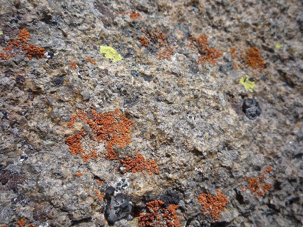
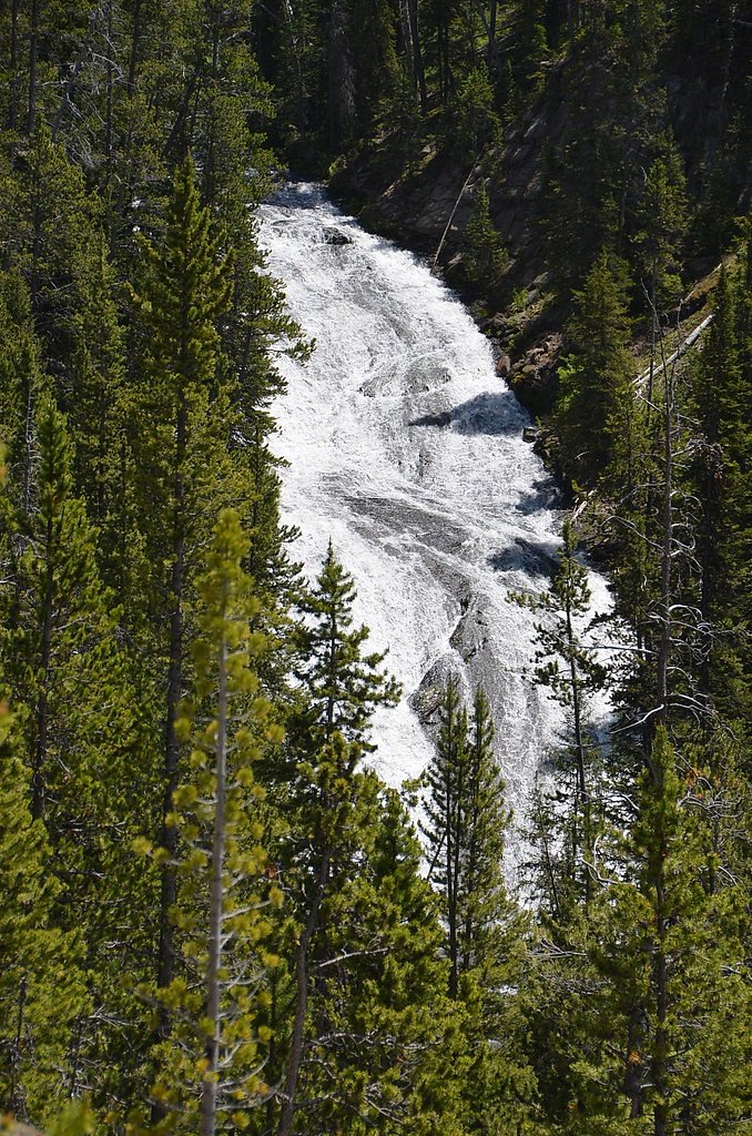
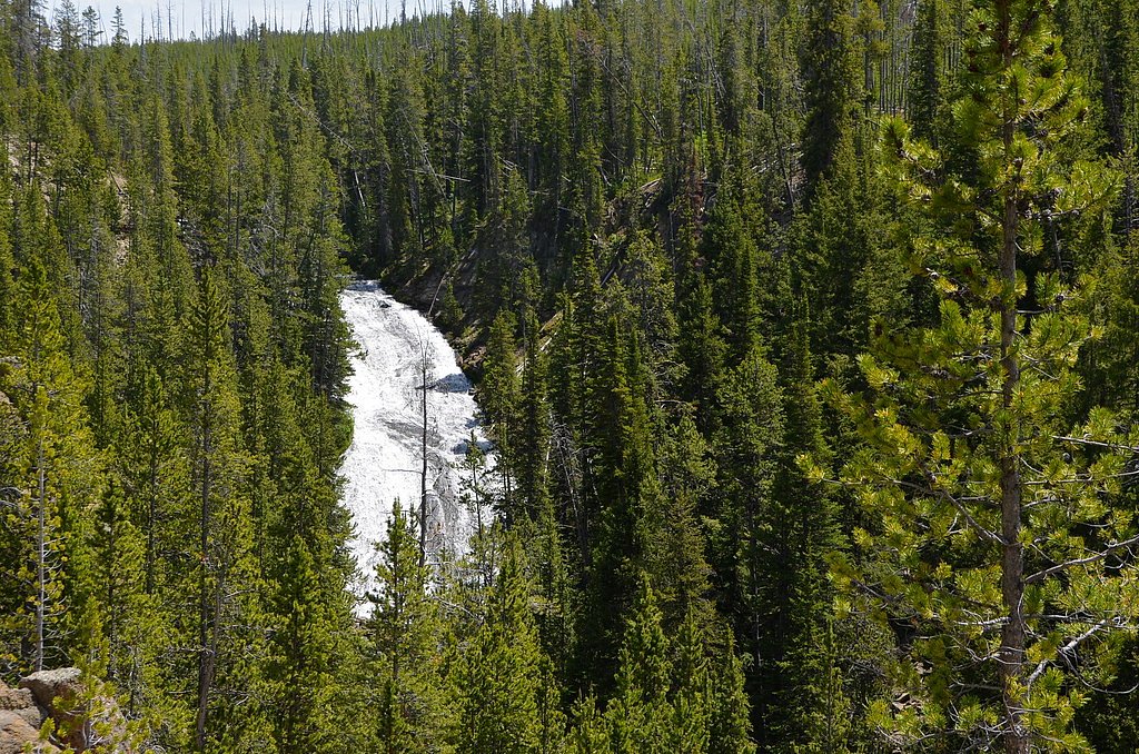
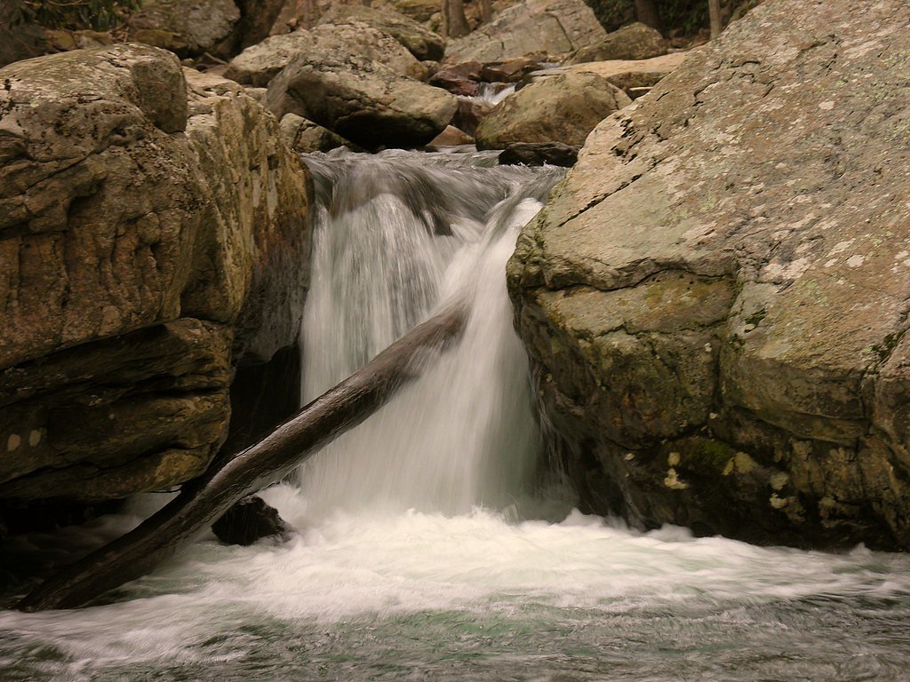
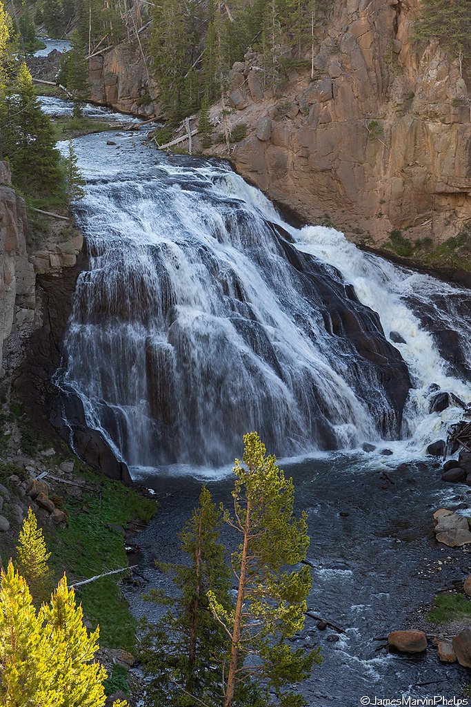
About Virginia Cascade
Virginia Cascade is a picturesque waterfall located in Yellowstone National Park, Wyoming. It is a cascading waterfall along the Gibbon River, known for its serene beauty and relatively easy access. The waterfall is surrounded by lush forested areas, making it a peaceful spot for visitors.
The Setting
Virginia Cascade sits at 7,815 feet within Yellowstone National Park, fed by the Tantalus Creek, in the high mountains of Wyoming.
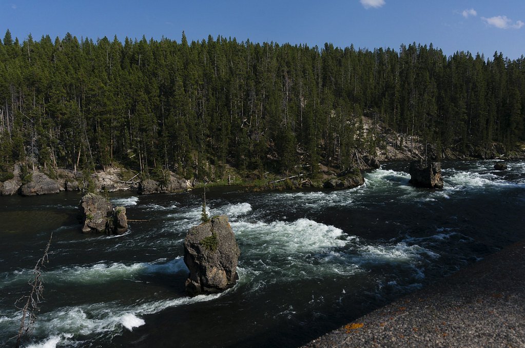
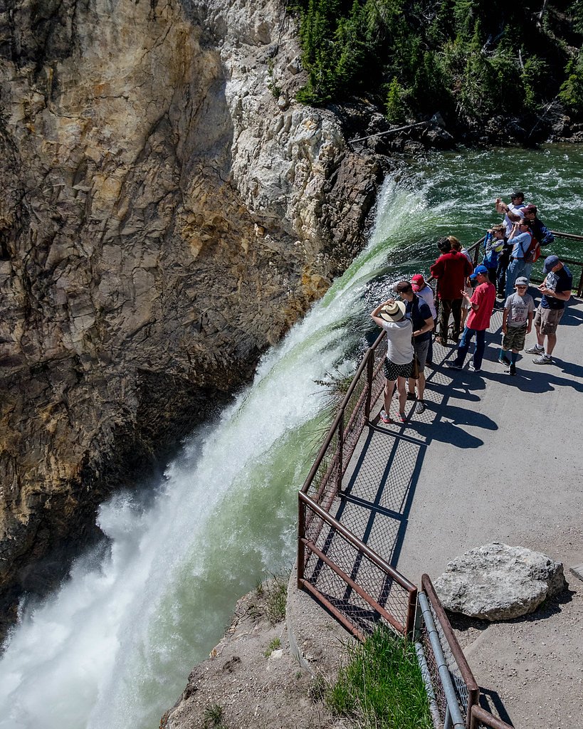
Nearby Falls Worth Visiting
Lower Falls of the Yellowstone River (308 ft) lies 7.4 miles to the east. Also nearby: Upper Falls of the Yellowstone River (109 ft, 7.2 mi) and Gibbon Falls (84 ft, 7.3 mi).
Trail & Hike Details
The Approach
The moderate 2.4-mile out-and-back trail gains 350 feet of elevation on the way to the falls.
Trail Description
The trail to Virginia Cascade is extremely short and more of a viewing area than a traditional hiking trail. Visitors can enjoy the waterfall from a designated viewpoint along the Virginia Cascade Drive.
What to Expect
Visitors can expect a peaceful and scenic experience with views of the cascading waterfall surrounded by forest. The area is typically quiet and less crowded compared to other attractions in Yellowstone.
Accessibility
The trail is not wheelchair accessible. Uneven terrain and elevation changes require steady footing.
Frequently Asked Questions
🐶 Are Dogs Allowed at Virginia Cascade?
❌ Dogs are not allowed
Are There Any Fees or Permits Required?
🤑 Fee: $35.00
🏊 Is There Swimming at Virginia Cascade?
❌ Swimming is not allowed
When to Visit
The best time to visit is during late spring through early fall when the Virginia Cascade Drive is open and the surrounding vegetation is lush and green.
Seasonal Access
The best time to visit is Spring, Summer, and Fall. Access roads and trails may close during winter due to snow. Check the National Park Service website for current conditions.
Safety Information
Stay on designated paths and viewing areas. Be cautious of slippery surfaces near the waterfall, especially after rain. Always check road and weather conditions before visiting.
Current Water Conditions
3 ft³/s
Current discharge — how much water is flowing
About average for this time of year
Based on 21 years of record
1.45 ft
Water depth at gauge
76°F
ComfortablePleasant for swimming
7-Day Discharge Trend
What does this mean for your visit?
Flow is about average for this time of year. The water is a comfortable 76 degrees F, pleasant for swimming.
About This Gauge
7-Day Flow Outlook
Based on the USGS gauge Tantalus Creek at Norris Junction, YNP (6 km away).
Today
Moderate
3 cfs
5/10Tomorrow
Moderate
3 cfs
6/10Fri
Moderate
3 cfs
6/10Sat
Moderate
4 cfs
6/10Sun
Moderate
4 cfs
6/10Mon
Moderate
3 cfs
6/10Tue
Moderate
3 cfs
8/10Best window: Tue — moderate flow, sunny (trip score 8/10).
Best time of year: this gauge typically runs highest from late December to late January, peaking in May.
How we calculate this
This is a transparent outlook, not a precise forecast. We take the waterfall's current flow strength (how it ranks against its historical normal for today, from the nearest USGS stream gauge), carry that ranking forward along the gauge's seasonal curve, and nudge it for forecast rain. Confidence is highest for the next day or two and falls further out. Always check official conditions and your own judgment before visiting — high flows can be dangerous.
Know when to go.
Get a free email alert when waterfalls near Mammoth hit peak flow. We only send when conditions are worth the trip — no weekly newsletters, no spam.
Weather Forecast
Location & Access
Getting There
Virginia Cascade is located along the Virginia Cascade Drive, a one-way road off the Grand Loop Road in Yellowstone National Park. The drive is typically open during the warmer months and provides a scenic route to view the waterfall.
Get Directions on Google MapsParking
There is limited parking available along the Virginia Cascade Drive. Visitors should be prepared for a short walk from their vehicle to the viewing area.
Elevation
7,815 feet above sea level
Coordinates
44.712992° N, -110.646041° W
Land Management
Managed by NPS
Visitor Tips & Gear
Visit early in the morning or late in the afternoon to avoid potential crowds. Check road conditions before visiting, as Virginia Cascade Drive may be closed during winter or after heavy rain.
This trail sits at 7,815 ft above sea level
Elevated TrailUV radiation is roughly 31% stronger at this elevation than at sea level, and the dry air accelerates dehydration. Extra sun protection and fluids go a long way.
As an Amazon Associate, we earn from qualifying purchases.

Coppertone Sport SPF 50 Sunscreen
UV intensity jumps ~4% per 1,000 ft — at this elevation you can burn in half the time.

Sun Bum SPF 30 Lip Balm (3-Pack)
Lips have almost no natural UV protection and burn fast in thin, dry mountain air.

Liquid I.V. Electrolyte Packets
You lose moisture ~2x faster at elevation — electrolytes help you absorb water efficiently.

ROCKNIGHT Polarized UV400 Sunglasses
High-altitude glare off rock and water is intense — UV400 lenses block 99%+ of UVA/UVB.
As an Amazon Associate, we earn from qualifying purchases.
With 2.4 miles and 350 ft of elevation gain, sturdy boots and trekking poles will help on this moderate trail. Sun exposure on the trail makes good sun protection a must in summer.
America the Beautiful Annual Pass
Covers entrance fees at 2,000+ federal recreation sites — required at most National Parks.

Polarized Sunglasses (Knockaround)
Cuts glare off the water so you actually see the falls — and your photos turn out better too.

Columbia Watertight II Rain Jacket
Packs into its own pocket, seam-sealed, and keeps you dry from spray and surprise rain.

Earth Pak Waterproof Dry Bag
Keeps your phone and gear dry when waterfall mist soaks everything else.

Waterproof Phone Pouch (AiRunTech)
Cheap insurance — take photos right next to the falls without killing your phone.

Timberland Euro Sprint Mid Waterproof
Trusted waterproof boot with premium leather and grippy rubber sole — reliable on rocky, wet trails.

TrailBuddy Trekking Poles
Lightweight aluminum, cork grips, and flip-locks that actually hold — a best-seller for good reason.
Where to Stay
Browse vacation cabins and private rentals nearby
Unique outdoor stays — tents, yurts, and treehouses
Rent a campervan or RV for your waterfall road trip
Some links are affiliate links. We may earn a commission at no extra cost to you.
Nearby Campground
Indian Creek Campground (WY)
12.8 miles away · 73 sites
Overview Located about eight miles (13 km) south of Mammoth Hot Springs on the road to Norris, Indian Creek Campground—elevation 7,300 feet (2225 m)—sits near the base of the Gallatin Mountains and offers breathtaking views of Electric Peak. The area offers easy access to fishing and hiking. The campground is away from the main road and provides a quieter, more primitive, experience than many other locations. For reservations at the campgrounds managed by Yellowstone National Park Lodges (Fishin
Book on Recreation.govNearby Hot Springs
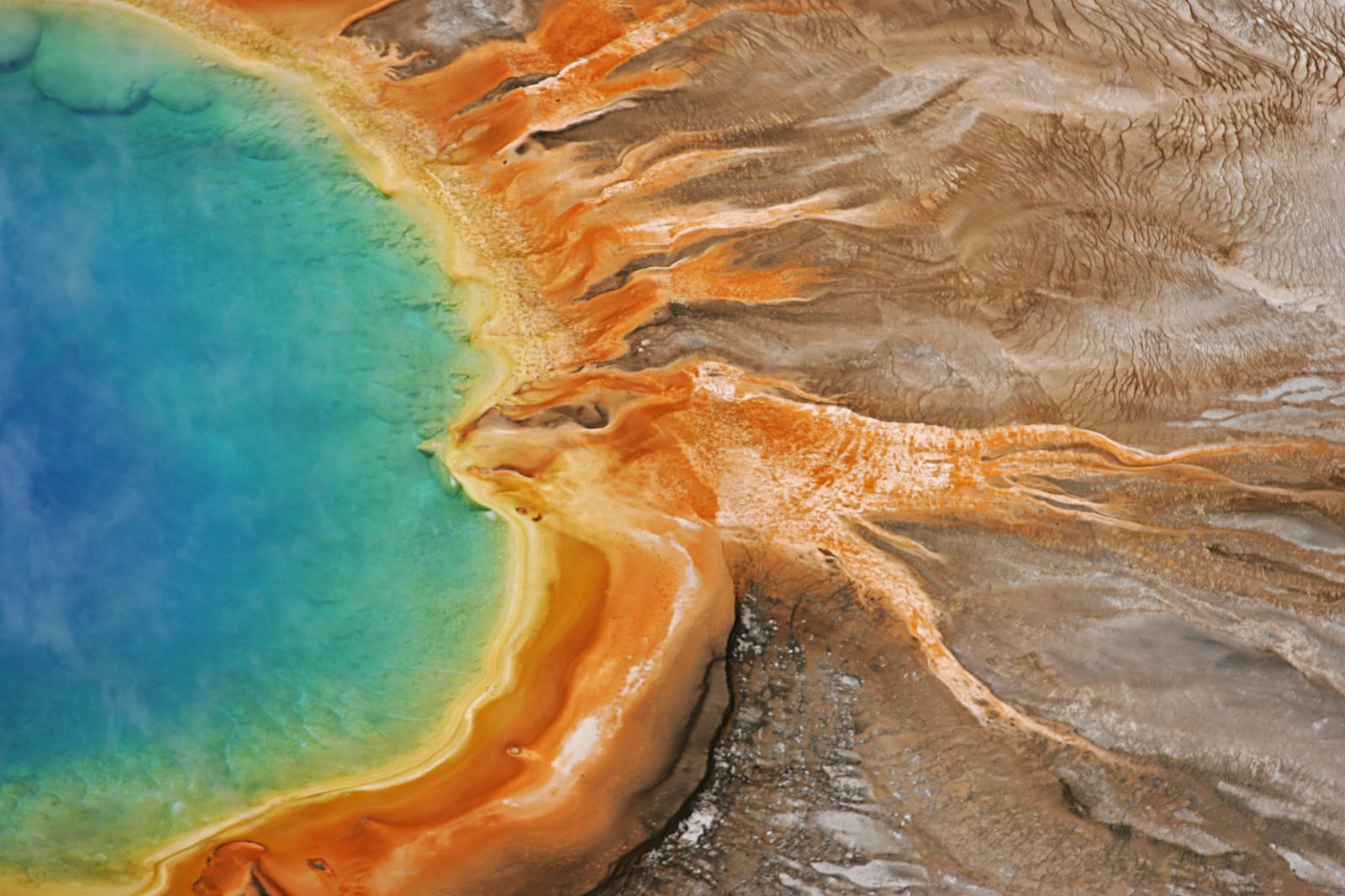
Hot springs near Mammoth, Wyoming

Echinus Geyser
Echinus Geyser discharges water at 185 degrees Fahrenheit in Norris Geyser Basin, where USGS measurements recorded highly acidi...

Unnamed Spring Gallatin County 3
This unnamed thermal feature maintains 192°F in Yellowstone's Norris Geyser Basin at 7,520 feet elevation, with recent USGS ana...

Unnamed Spring Gallatin County 4
Big Alcove Spring reaches 201°F in Yellowstone's Norris Geyser Basin at 7,510 feet elevation, making it one of the park's hotte...

Unnamed Spring Gallatin County 5
This unnamed thermal feature flows at 144°F in Yellowstone's Norris Geyser Basin at 7,470 feet elevation, creating moderate geo...

Cistern Spring
Cistern Spring discharges water at 199 degrees Fahrenheit in the Norris Geyser Basin, where USGS measurements recorded highly a...

Gas Vent
Gas Vent emerges within Yellowstone's Norris Geyser Basin with extremely acidic water at pH 3.0, among the most corrosive condi...
Looking for a soak after your hike? Explore more hot springs near Mammoth, Wyoming on SoakingSprings.
Explore Wyoming springsAdditional Information
Nearby Attractions
Nearby attractions include Norris Geyser Basin, Gibbon Falls, and the Grand Canyon of the Yellowstone.
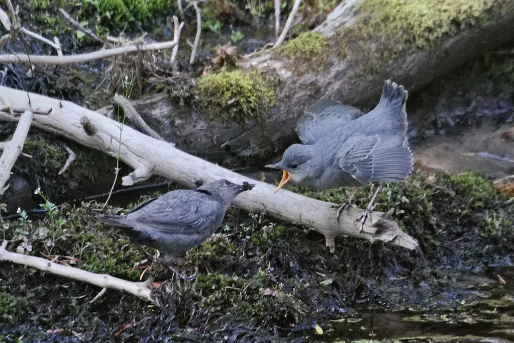
Wildlife
Visitors may spot wildlife such as elk, bison, and various bird species in the area. Always maintain a safe distance from wildlife.
Cities near Virginia Cascade
Nearby Waterfalls
Writing about Virginia Cascade? Embed this waterfall on your site for free.