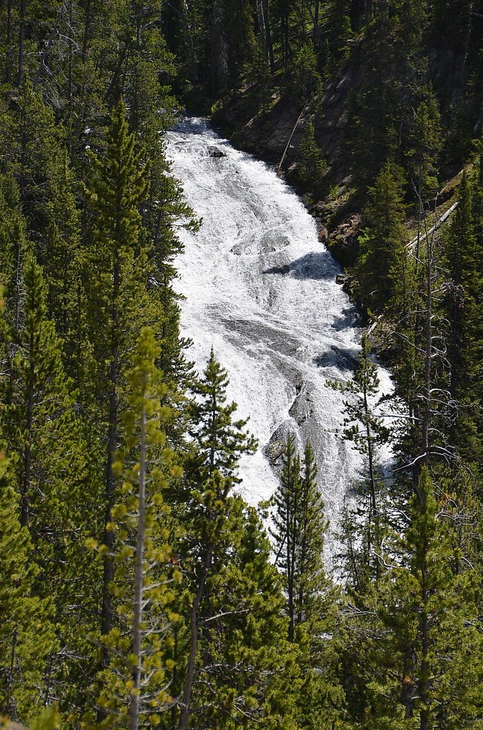
Silver Cord Cascade
By Armen Suny · Last verified May 2026
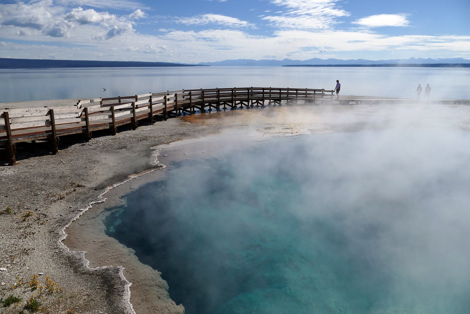
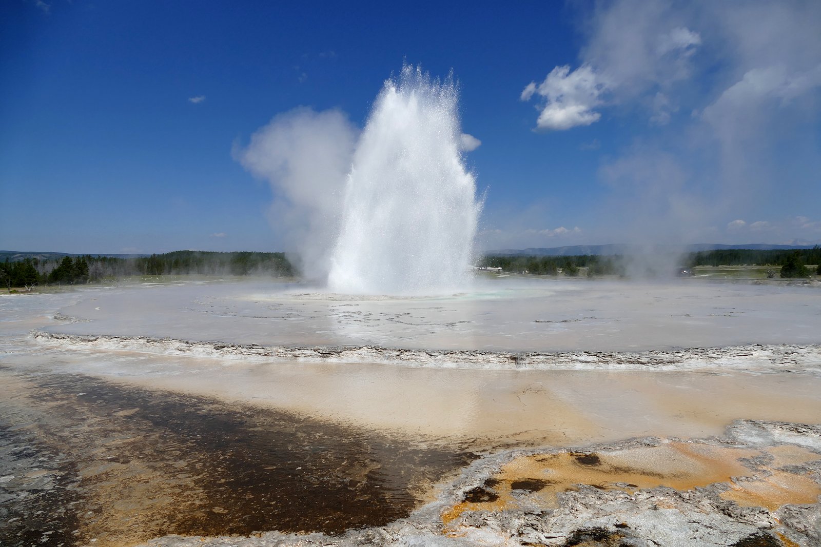

Photo Credits (5)
Difficulty
Moderate
Trail Length
2.4 miles
Trail Type
Out And Back
Elevation Gain
350 ft
About Silver Cord Cascade
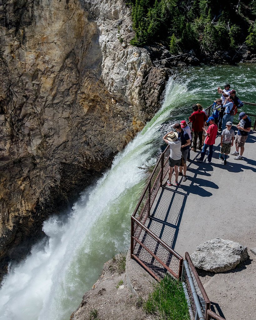
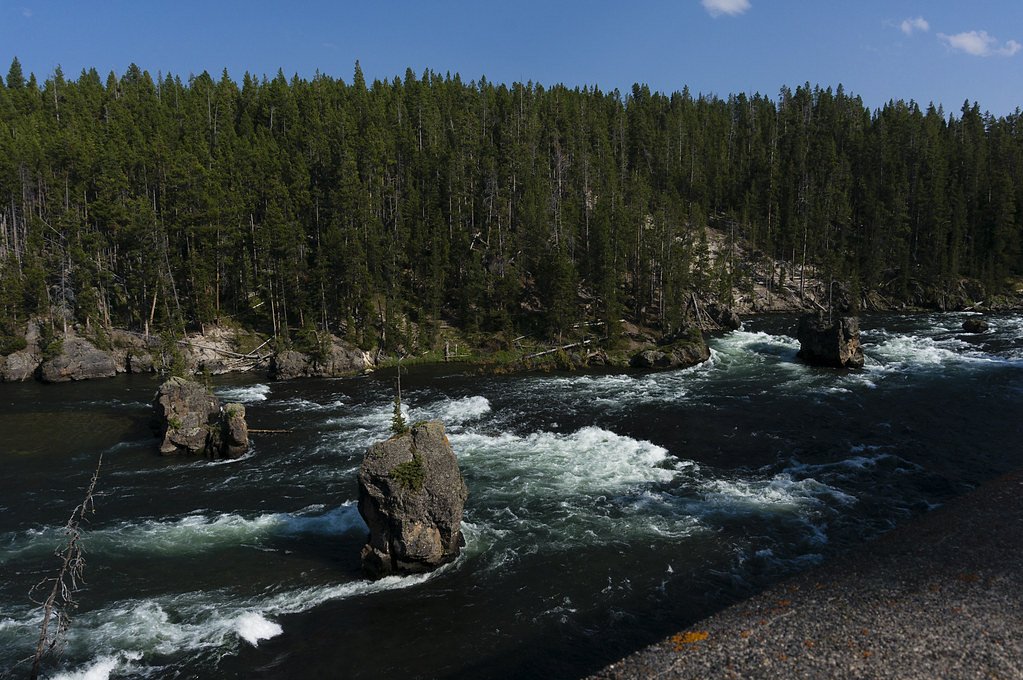
Silver Cord Cascade is a striking horsetail waterfall on Surface Creek, tucked along the South rim of the Grand Canyon of the Yellowstone in Yellowstone National Park. Surface Creek flows out of Ribbon Lake and plunges roughly 1,200 feet (370 m) to the Yellowstone River, making Silver Cord Cascade the tallest waterfall in the park. The narrow, ribbon-like drop and its dramatic canyon setting create one of Yellowstone’s most memorable rim views. Managed by the National Park Service, the falls were first recorded by members of the Washburn–Langford–Doane Expedition, who described it as “Silverthread Falls.” Its combination of geological drama and historical note makes Silver Cord Cascade a rewarding stop on canyon overlooks; seasonal flow and weather can greatly affect views, so check park conditions before visiting.
The Setting
Silver Cord Cascade sits at 7,861 feet within Yellowstone National Park, fed by the Yellowstone River, in the high mountains of Wyoming.
Nearby Falls Worth Visiting
Lower Falls of the Yellowstone River (308 ft) lies 2.3 miles to the west. Also nearby: Upper Falls of the Yellowstone River (109 ft, 2.5 mi).
Trail & Hike Details
The Approach
The moderate 2.4-mile out-and-back trail gains 350 feet of elevation on the way to the falls.
Trail Description
Trail: 2.4 miles (out-and-back) with approximately 350 feet of elevation gain. Difficulty: Moderate. Trail type: Out-and-back. This route is inside Yellowstone National Park and managed by the National Park Service. No USFS trail number or detailed USFS surface/grade/class data is provided in the available records.
Accessibility
The trail is not wheelchair accessible. Uneven terrain and elevation changes require steady footing.
Frequently Asked Questions
🐶 Are Dogs Allowed at Silver Cord Cascade?
❌ Dogs are not allowed
Are There Any Fees or Permits Required?
🆖 No fees required
🏊 Is There Swimming at Silver Cord Cascade?
❌ Swimming is not allowed
When to Visit
Seasonal Access
The best time to visit is Spring and Summer. Access roads and trails may close during winter due to snow. Check the National Park Service website for current conditions.
Current Water Conditions
3,320 ft³/s
Current discharge — how much water is flowing
Lower than usual for this time of year
Based on 96 years of record
5.36 ft
Water depth at gauge
7-Day Discharge Trend
What does this mean for your visit?
Flow is lower than usual for this time of year.
About This Gauge
This gauge is on a nearby waterway and may not reflect exact conditions at the falls.
7-Day Flow Outlook
Based on the USGS gauge Yellowstone River at Yellowstone Lk Outlet YNP (19 km away).
Today
Barely Flowing
3320 cfs
5/10Tomorrow
Barely Flowing
3305 cfs
5/10Fri
Low
3776 cfs
3/10Sat
Low
3544 cfs
6/10Sun
Barely Flowing
3312 cfs
5/10Mon
Barely Flowing
3290 cfs
5/10Tue
Low
3733 cfs
3/10Best window: Sat — low flow, sunny (trip score 6/10).
Best time of year: this gauge typically runs highest from late May to late August, peaking in June.
How we calculate this
This is a transparent outlook, not a precise forecast. We take the waterfall's current flow strength (how it ranks against its historical normal for today, from the nearest USGS stream gauge), carry that ranking forward along the gauge's seasonal curve, and nudge it for forecast rain. Confidence is highest for the next day or two and falls further out. Always check official conditions and your own judgment before visiting — high flows can be dangerous.
Know when to go.
Get a free email alert when waterfalls near Mammoth hit peak flow. We only send when conditions are worth the trip — no weekly newsletters, no spam.
Weather Forecast
Location & Access
Elevation
7,861 feet above sea level
Coordinates
44.726050° N, -110.451591° W
Land Management
Managed by NPS
Visitor Tips & Gear
This trail sits at 7,861 ft above sea level
Elevated TrailUV radiation is roughly 31% stronger at this elevation than at sea level, and the dry air accelerates dehydration. Extra sun protection and fluids go a long way.
As an Amazon Associate, we earn from qualifying purchases.

Coppertone Sport SPF 50 Sunscreen
UV intensity jumps ~4% per 1,000 ft — at this elevation you can burn in half the time.

Sun Bum SPF 30 Lip Balm (3-Pack)
Lips have almost no natural UV protection and burn fast in thin, dry mountain air.

Liquid I.V. Electrolyte Packets
You lose moisture ~2x faster at elevation — electrolytes help you absorb water efficiently.

ROCKNIGHT Polarized UV400 Sunglasses
High-altitude glare off rock and water is intense — UV400 lenses block 99%+ of UVA/UVB.
As an Amazon Associate, we earn from qualifying purchases.
With 2.4 miles and 350 ft of elevation gain, sturdy boots and trekking poles will help on this moderate trail. Sun exposure on the trail makes good sun protection a must in summer.
America the Beautiful Annual Pass
Covers entrance fees at 2,000+ federal recreation sites — required at most National Parks.

Polarized Sunglasses (Knockaround)
Cuts glare off the water so you actually see the falls — and your photos turn out better too.

Columbia Watertight II Rain Jacket
Packs into its own pocket, seam-sealed, and keeps you dry from spray and surprise rain.

Earth Pak Waterproof Dry Bag
Keeps your phone and gear dry when waterfall mist soaks everything else.

Waterproof Phone Pouch (AiRunTech)
Cheap insurance — take photos right next to the falls without killing your phone.

Timberland Euro Sprint Mid Waterproof
Trusted waterproof boot with premium leather and grippy rubber sole — reliable on rocky, wet trails.

TrailBuddy Trekking Poles
Lightweight aluminum, cork grips, and flip-locks that actually hold — a best-seller for good reason.
Where to Stay
Browse vacation cabins and private rentals nearby
Unique outdoor stays — tents, yurts, and treehouses
Rent a campervan or RV for your waterfall road trip
Some links are affiliate links. We may earn a commission at no extra cost to you.
Nearby Campground
Tower Fall Campground
11.7 miles away · 33 sites
Overview Tower Fall Campground—elevation 6,600 feet (2012 m)—is on the north side of the steep, winding, road to Dunraven Pass. The campground is near the Tower General Store and Tower Fall. The Lamar Valley, with spectacular wildlife viewing opportunities, is nearby as are several Day Hikes in the Tower and Northeast Area. Roosevelt Lodge, a short drive from the campground, offers dining and horseback riding. For reservations at the campgrounds managed by Yellowstone National Park Lodges (Fishin
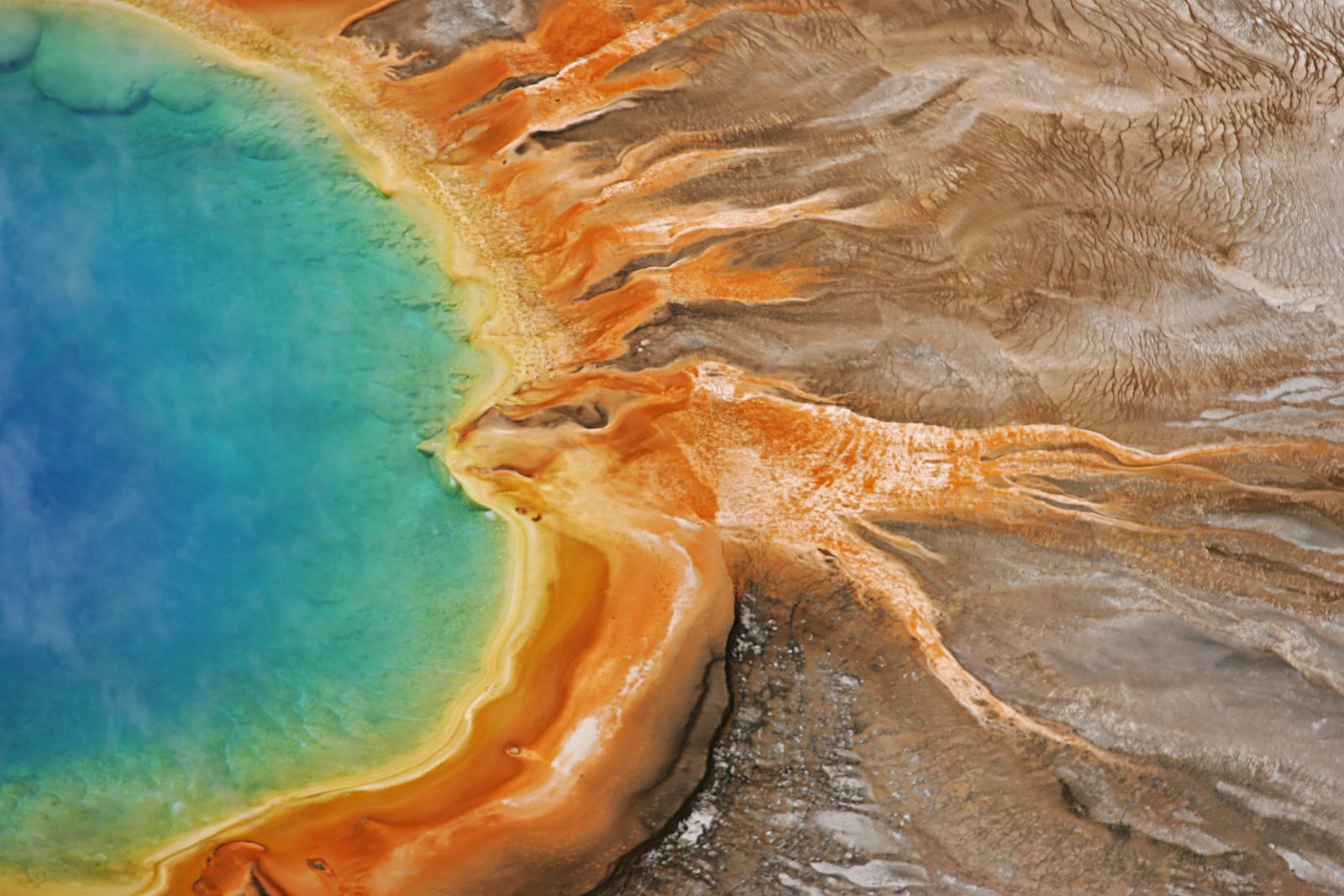
Book on Recreation.govNearby Hot Springs
Hot springs near Mammoth, Wyoming
Forest Springs
Forest Springs occupies high-elevation terrain at 7,740 feet within Yellowstone's backcountry, designated 'H' for hot but unmea...

Hot Springs
This hot spring emerges at 7,742 feet elevation along Yellowstone's South Rim Drive, requiring a 0.8-mile walk from the road. T...
Unnamed Spring Gallatin County 6
This unnamed thermal feature emerges at 167°F in Yellowstone National Park at 7,805 feet elevation, creating very hot discharge...
Warm Spring
Warm Spring flows at a genuinely warm rather than hot temperature within Yellowstone National Park, located 1,355 meters from S...

Hot Springs At Sevenmile Hole
Hot Springs at Sevenmile Hole emerges at 189°F along the Yellowstone River's dramatic canyon at 7,314 feet elevation. Located 2...
Washburn Hot Springs
Washburn Hot Springs emerges at 196°F on Mount Washburn's flanks in Yellowstone National Park, creating one of the park's most ...
Looking for a soak after your hike? Explore more hot springs near Mammoth, Wyoming on SoakingSprings.
Explore Wyoming springsAdditional Information
Cities near Silver Cord Cascade
Nearby Waterfalls
Writing about Silver Cord Cascade? Embed this waterfall on your site for free.