Undine Falls
Wyoming • 60 ft
By Armen Suny · Last verified Sep 2026
LiDAR & 3D terrain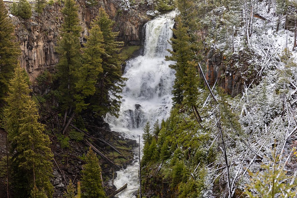
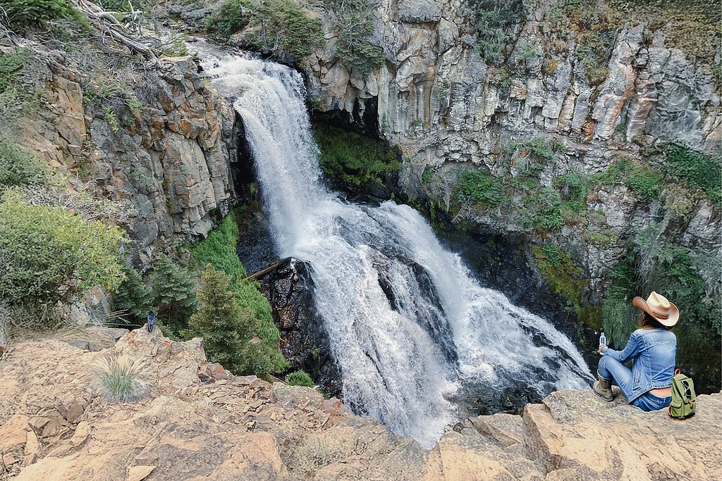
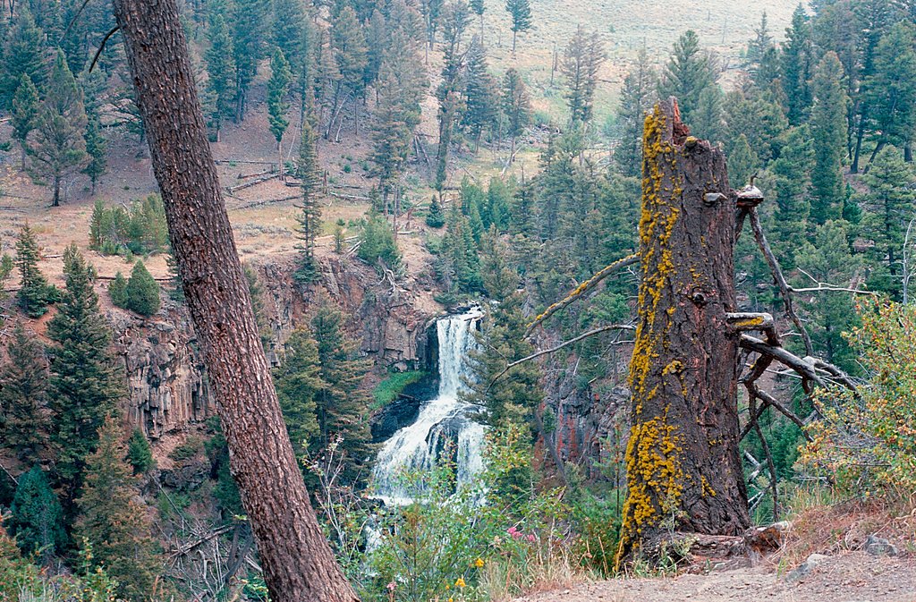
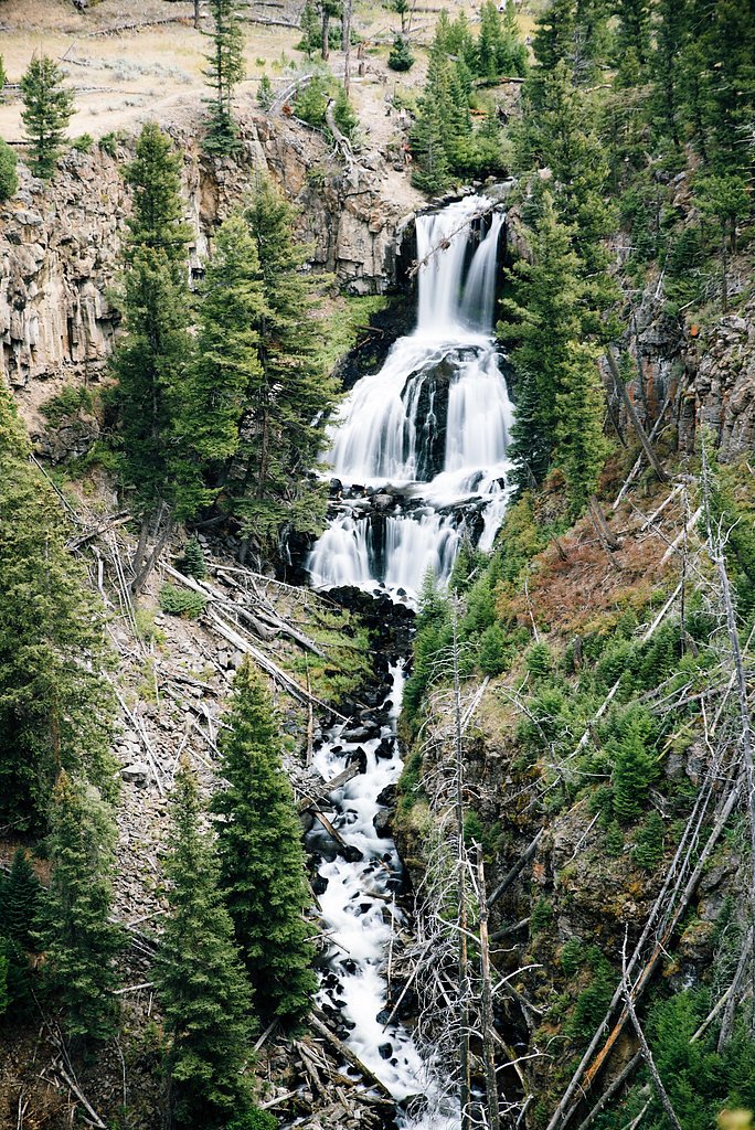

Photo Credits (5)
Difficulty
Drive Up
About Undine Falls
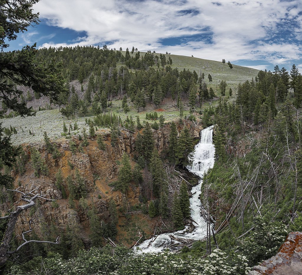
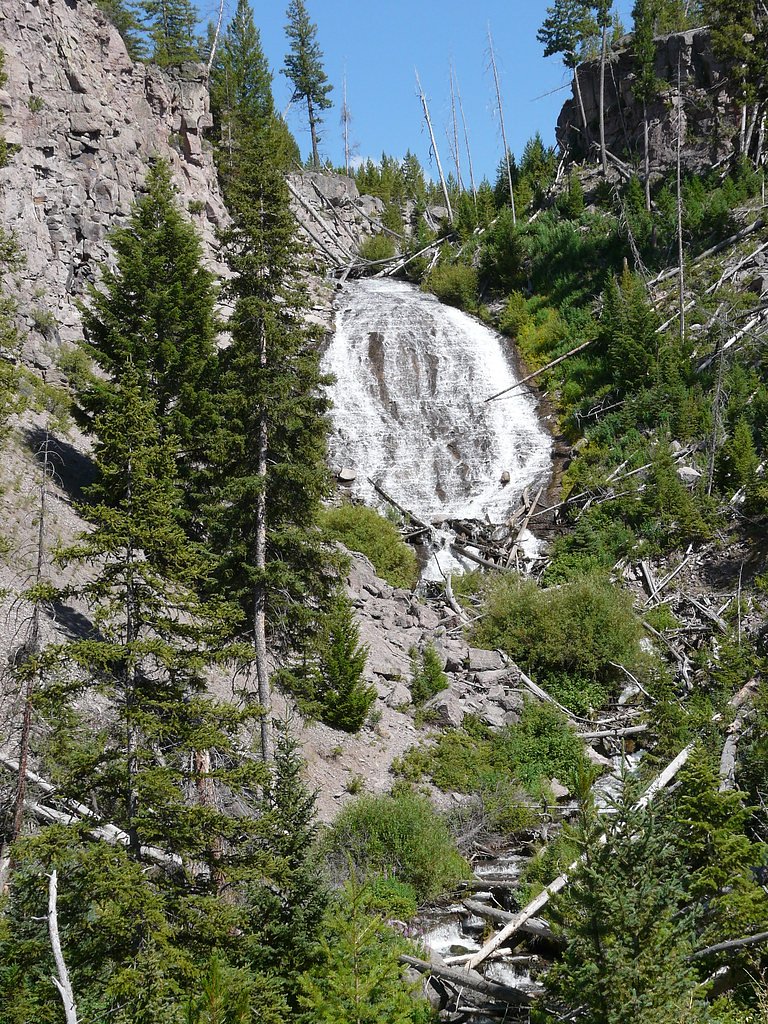
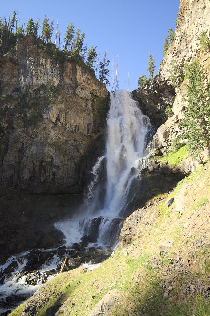
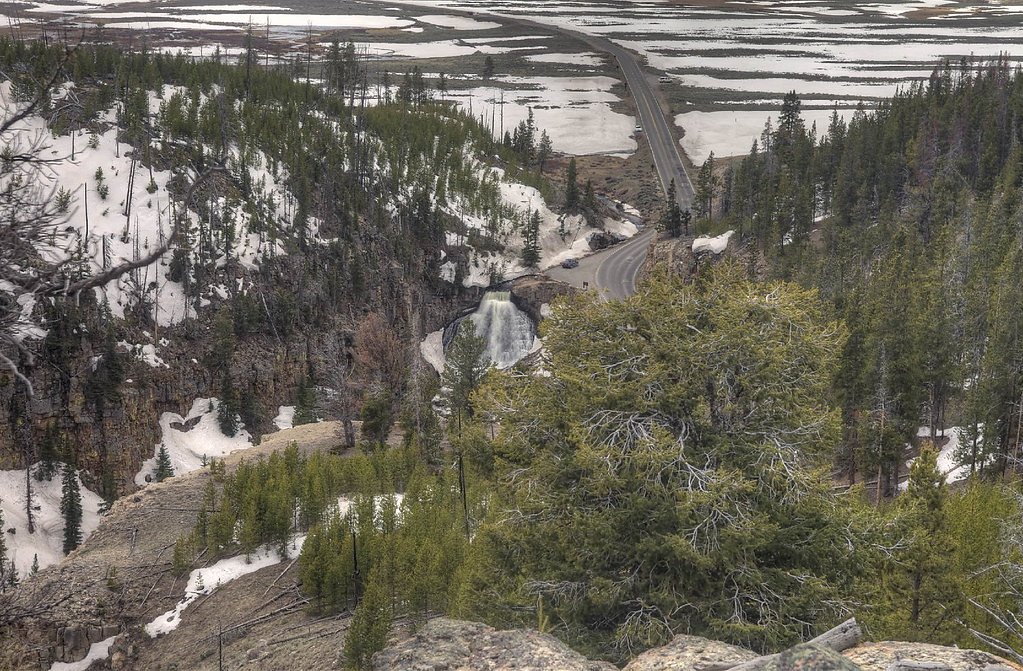
Undine Falls is a picturesque, three-tiered waterfall located in Yellowstone National Park, Wyoming. It is situated on Lava Creek and offers a stunning view of cascading water surrounded by rugged cliffs and forested scenery. The falls are easily accessible and a popular stop for visitors exploring the park.
The Setting
Undine Falls sits at 6,496 feet within Yellowstone National Park, fed by the Boiling River, in the high mountains of Wyoming. The falls drop 60 feet.
Height: 60 feet
Nearby Falls Worth Visiting
Osprey Falls (150 ft) lies 2.3 miles to the west. Also nearby: Wraith Falls (79 ft, 0.9 mi) and Rustic Falls (47 ft, 4.3 mi).
Trail & Hike Details
The Approach
No hiking required. Undine Falls is accessible by vehicle with a roadside viewing area.
Trail Description
No hiking is required to view Undine Falls. The waterfall is visible from a roadside pullout along the Grand Loop Road, making it an excellent option for visitors of all abilities.
What to Expect
The falls drop 60 feet.
Accessibility
This waterfall is viewable from a vehicle-accessible area. No hiking is required.
Frequently Asked Questions
🐶 Are Dogs Allowed at Undine Falls?
❌ Dogs are not allowed
Are There Any Fees or Permits Required?
🤑 Fee: $35.00
🏊 Is There Swimming at Undine Falls?
❌ Swimming is not allowed
When to Visit
Undine Falls can be visited year-round, but spring and early summer are particularly beautiful when the water flow is at its peak due to snowmelt.
Seasonal Access
The best time to visit is Spring, Summer, Fall, and Winter. Check the National Park Service website for current conditions.
Safety Information
Stay on designated viewing areas and do not attempt to climb near the falls. Wildlife is abundant in the area, so remain vigilant and follow park guidelines for safe wildlife viewing. Weather conditions can change rapidly, so be prepared for sudden changes.
Current Water Conditions
23 ft³/s
Current discharge — how much water is flowing
About average for this time of year
Based on 29 years of record
1.11 ft
Water depth at gauge
125°F
WarmVery comfortable
7-Day Discharge Trend
What does this mean for your visit?
Flow is about average for this time of year. The water is warm at 125 degrees F, very comfortable for swimming.
About This Gauge
7-Day Flow Outlook
Based on the USGS gauge Boiling River at Mammoth,YNP (6 km away).
Today
Moderate
23 cfs
8/10Tomorrow
Moderate
23 cfs
8/10Sun
Moderate
25 cfs
5/10Mon
Moderate
27 cfs
6/10Tue
Moderate
24 cfs
8/10Wed
Moderate
23 cfs
8/10Thu
Moderate
23 cfs
8/10Best window: Today — moderate flow, sunny (trip score 8/10).
Best time of year: this gauge typically runs highest from early May to late July, peaking in May.
How we calculate this
This is a transparent outlook, not a precise forecast. We take the waterfall's current flow strength (how it ranks against its historical normal for today, from the nearest USGS stream gauge), carry that ranking forward along the gauge's seasonal curve, and nudge it for forecast rain. Confidence is highest for the next day or two and falls further out. Always check official conditions and your own judgment before visiting — high flows can be dangerous.
Know when to go.
Get a free email alert when waterfalls near Mammoth hit peak flow. We only send when conditions are worth the trip — no weekly newsletters, no spam.
Weather Forecast
The Terrain, Seen by LiDAR
Aircraft-mounted lasers measured this ground to within inches. Trees and buildings are digitally stripped away, leaving the bare shape of the land the water has carved.
1-meter lidar measures about 167 feet of descent through Undine Falls, a steep tiered drop rather than a single free fall. That is more than the listed 60 feet because the gorge keeps dropping below the falls themselves. The brink sits at about 6,537 feet above sea level.
The ground changes about 43 feet in the 500 feet above the falls and 191 feet in the 500 feet below. The falls face west and glow in afternoon and evening light.
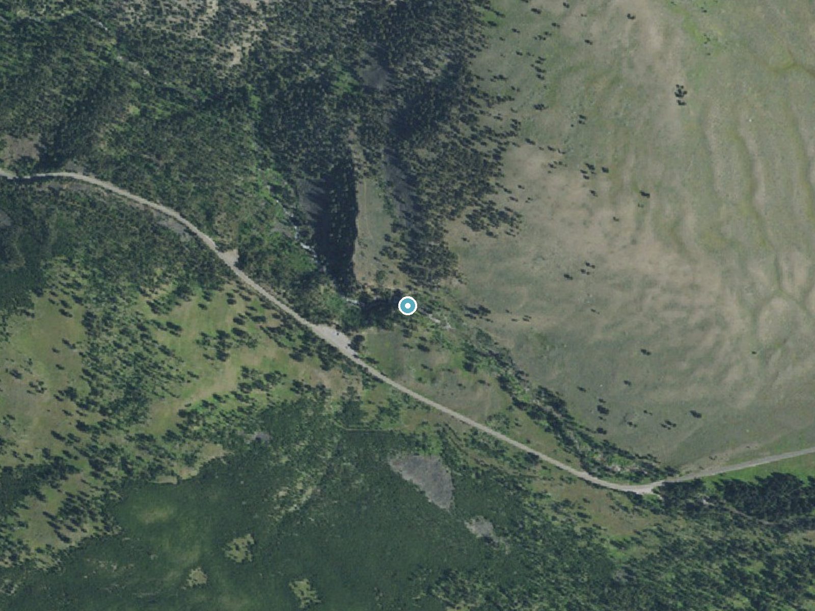
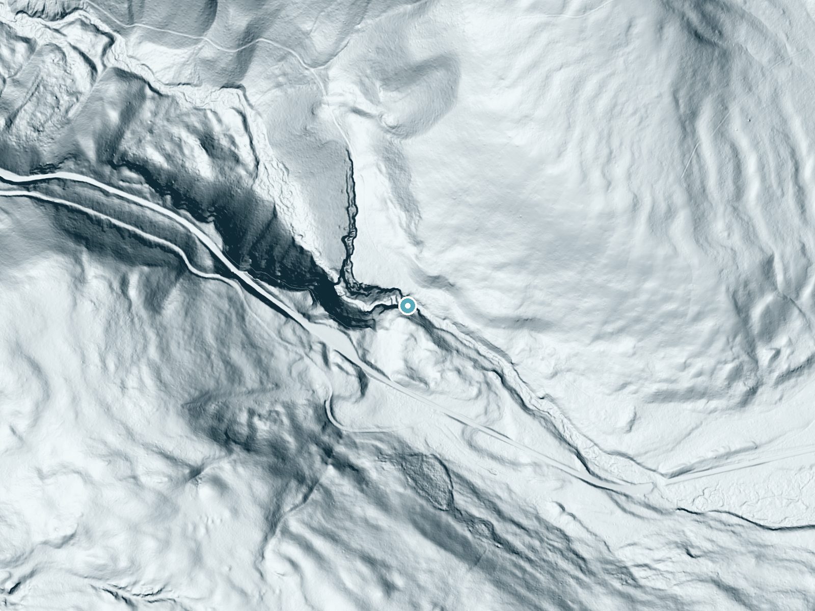
Drag to compare. The dot marks the waterfall. The frame is about a mile across.
- Ground elevation
- 6,537 feet
- Measured by 1-meter lidar
- Drop at the falls
- About 167 feet
- Change in ground height within ~250 feet of the falls
- Faces
- West
- Glows in afternoon and evening light.
A slice through the lidar ground surface, from above the falls to downstream (heading west).
Elevation data: USGS 3D Elevation Program. Aerial imagery: USGS The National Map. Public domain.
Location & Access
Getting There
Undine Falls is located along the Grand Loop Road in Yellowstone National Park, approximately 4 miles east of Mammoth Hot Springs. The falls can be viewed from a roadside pullout, making it easily accessible by car.
Get Directions on Google MapsParking
There is a small parking area near the roadside pullout where visitors can stop to view the falls.
Elevation
6,496 feet above sea level
Coordinates
44.943984° N, -110.638588° W
Land Management
Managed by NPS
Visitor Tips & Gear
Visit early in the morning or late in the afternoon to avoid crowds and capture the best lighting for photography. Bring binoculars to spot wildlife in the area, as Yellowstone is home to a variety of animals.
This trail sits at 6,496 ft above sea level
Elevated TrailUV radiation is roughly 26% stronger at this elevation than at sea level, and the dry air accelerates dehydration. Extra sun protection and fluids go a long way.
As an Amazon Associate, we earn from qualifying purchases.

Coppertone Sport SPF 50 Sunscreen
UV intensity jumps ~4% per 1,000 ft — at this elevation you can burn in half the time.

Sun Bum SPF 30 Lip Balm (3-Pack)
Lips have almost no natural UV protection and burn fast in thin, dry mountain air.

Liquid I.V. Electrolyte Packets
You lose moisture ~2x faster at elevation — electrolytes help you absorb water efficiently.

ROCKNIGHT Polarized UV400 Sunglasses
High-altitude glare off rock and water is intense — UV400 lenses block 99%+ of UVA/UVB.
Where to Stay
Yellowstone Gateway Inn
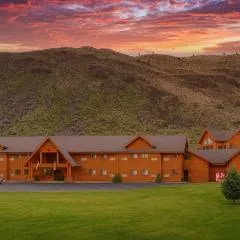
Yellowstone Village Inn and Suites
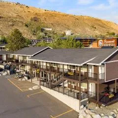
Roosevelt Hotel & Cabins - Yellowstone

Ridgeline Hotel at Yellowstone, an Ascend Collection Hotel
Browse vacation cabins and private rentals nearby
Unique outdoor stays — tents, yurts, and treehouses
Rent a campervan or RV for your waterfall road trip
Some links are affiliate links. We may earn a commission at no extra cost to you.
Nearby Campground
Mammoth Campground (Yellowstone)
3.4 miles away · 87 sites
Overview Starting Tuesday April 15th, the Mammoth Campground is open and reservations are required. For reservations at the campgrounds managed by Yellowstone National Park Lodges (Fishing Bridge RV Park, Bridge Bay, Canyon, Madison, and Grant Village campgrounds), please visit the Yellowstone National Park Lodges Camping website. Recreation There are many recreational opportunities in the Mammoth Hot Springs and the North area. Visit these pages to learn more:Boating Fishing Hiking Photograp
Book on Recreation.govNearby Hot Springs
Hot springs near Undine Falls, Wyoming

Mammoth Hot Springs
Mammoth Hot Springs discharges at 163 degrees Fahrenheit just 6 meters from Upper Terrace Drive at 6,589 feet elevation, deposi...

Hot River
Hot River forms where thermal springs mix with cold stream water at 5,685 feet elevation near Mammoth Hot Springs in Yellowston...

Bear Creek Springs
Bear Creek Springs discharges at 72°F -- only 31 degrees above ambient -- within Gallatin National Forest at 5,423 feet elevati...
Gas Vents At Horseshoe Hill
This thermal feature produces 97-degree Fahrenheit water at 7,640 feet elevation, accessible via 2.6-mile hike from Grand Loop ...

Apollinaris Spring
Apollinaris Spring emerges in Yellowstone National Park just 95.2 meters from Grand Loop Road at 7,580 feet elevation near Norr...
Whiterock Springs
Whiterock Springs flows at 144°F in Yellowstone National Park at 7,610 feet elevation, creating a moderately hot feature locate...
Looking for a soak after your hike? Explore more hot springs near Undine Falls, Wyoming on SoakingSprings.
Explore Wyoming springsAdditional Information
Nearby Attractions
Mammoth Hot Springs, Lamar Valley, Tower Fall, and the Roosevelt Arch are all located within a short drive from Undine Falls.
Wildlife
The area around Undine Falls is home to a variety of wildlife, including elk, bison, bears, and birds of prey. Visitors should maintain a safe distance from all animals.
Nearby Waterfalls
Writing about Undine Falls? Embed this waterfall on your site for free.