Photo Credits (5)
Difficulty
Moderate
Trail Length
2.4 miles
Trail Type
Out And Back
Elevation Gain
350 ft
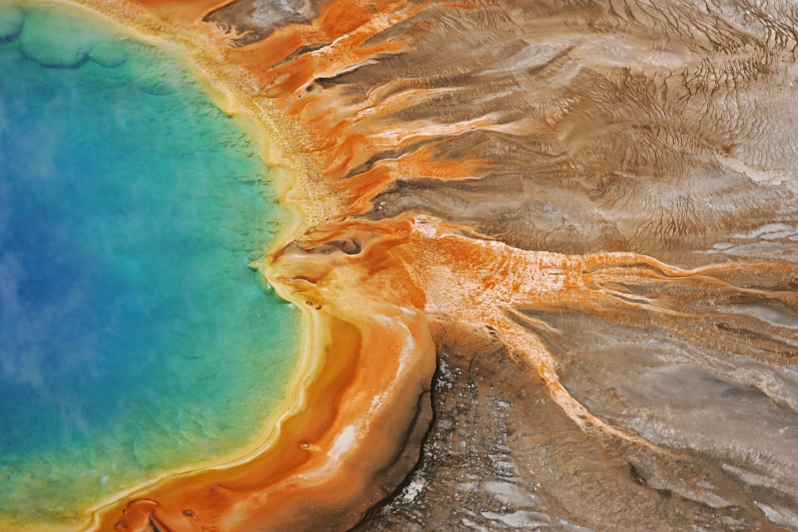
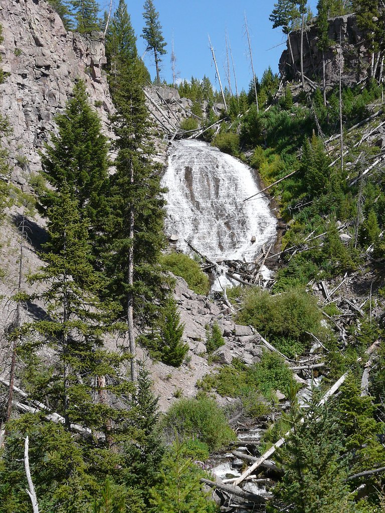
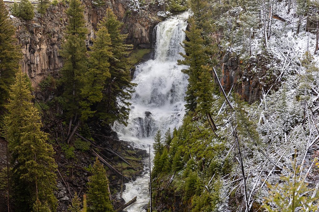
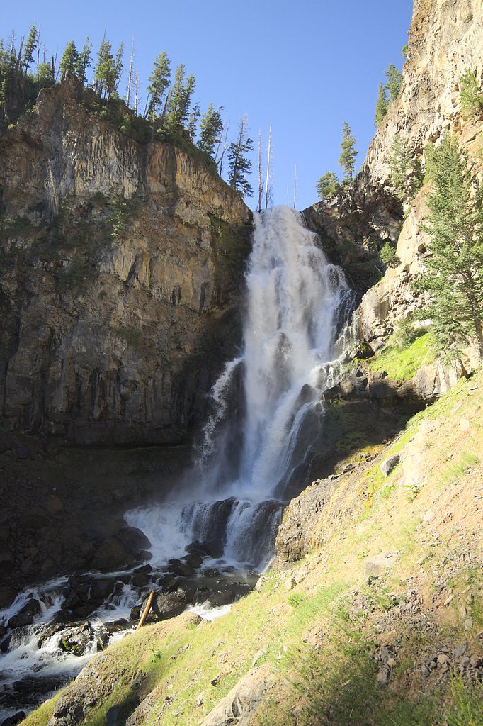
About Knowles Falls
Knowles Falls sits within the boundaries of Yellowstone National Park and is managed by the National Park Service, making it a quietly scenic stop in the park’s Montana portion. While not one of Yellowstone’s marquee attractions, the falls reward visitors who seek a more secluded stretch of river and forest — perfect for photographers and hikers looking to escape the busiest overlooks. Yellowstone, established in 1872 as the first U.S. national park, protects wide-ranging landscapes, and Knowles Falls is a subtle example of the park’s less-visited natural character. Access to the falls is along a 2.4-mile out-and-back trail that climbs roughly 350 feet and is rated moderate, so it’s a doable half-day outing for most hikers who are comfortable with uneven footing and some route-finding. If you’re camping nearby, Eagle Creek Campground in the Custer Gallatin National Forest lies about 7.6 km from the trailhead and makes a convenient basecamp for a multi-day visit.
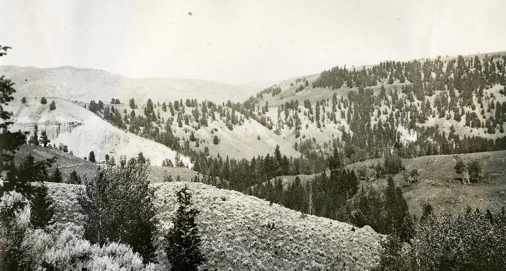
The Setting
Knowles Falls sits at 5,502 feet within Yellowstone National Park, fed by the Gardner River, in the high mountains of Montana.
Nearby Falls Worth Visiting
Osprey Falls (150 ft) lies 7.1 miles to the southwest. Also nearby: Wraith Falls (79 ft, 5.4 mi) and Undine Falls (60 ft, 5.2 mi).
Trail & Hike Details
The Approach
The moderate 2.4-mile out-and-back trail gains 350 feet of elevation on the way to the falls.
Trail Description
Trail stats: 2.4 miles total (out-and-back), approximately 350 feet of elevation gain, difficulty: moderate. The route is an out-and-back hike through park-managed terrain in Yellowstone National Park (NPS). There is no USFS trail number for this route because the feature and access sit on National Park Service land rather than a U.S. Forest Service unit. Trail conditions can be variable: expect uneven footing and sections that require basic navigation, so bring a map, wear sturdy footwear, and allow extra time for slower footing. The nearest formal campground is Eagle Creek Campground (Custer Gallatin National Forest), about 7.6 km away, for those planning an overnight stay; beyond that, services are limited, so carry water and be prepared for backcountry conditions.
What to Expect
Visitors can expect a tranquil and remote waterfall surrounded by natural beauty. The area is relatively undeveloped, so amenities are minimal or nonexistent.
Accessibility
The trail is not wheelchair accessible. Uneven terrain and elevation changes require steady footing.
Frequently Asked Questions
🐶 Are Dogs Allowed at Knowles Falls?
❌ Dogs are not allowed
Are There Any Fees or Permits Required?
🆖 No fees required
🏊 Is There Swimming at Knowles Falls?
❌ Swimming is not allowed
When to Visit
Spring and early summer are ideal times to visit, as the waterfall may have higher flow due to snowmelt. Fall offers beautiful foliage, while summer provides warmer weather for exploration.
Seasonal Access
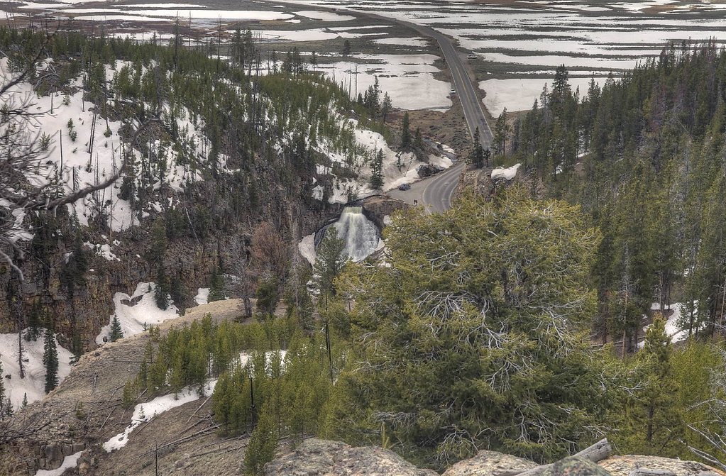
The best time to visit is Spring, Summer, and Fall. Access roads and trails may close during winter due to snow. Check the National Park Service website for current conditions.
Safety Information
Visitors should be cautious of slippery rocks near the waterfall and strong river currents. Cell phone service may be limited, so plan accordingly.
Current Water Conditions
251 ft³/s
Current discharge — how much water is flowing
Lower than usual for this time of year
Based on 76 years of record
2.21 ft
Water depth at gauge
7-Day Discharge Trend
What does this mean for your visit?
Flow is lower than usual for this time of year.
About This Gauge
7-Day Flow Outlook
Based on the USGS gauge Gardner River near Mammoth, YNP (8 km away).
Today
Low
286 cfs
3/10Tomorrow
Moderate
304 cfs
4/10Sun
Low
278 cfs
4/10Mon
Low
253 cfs
4/10Tue
Low
254 cfs
3/10Wed
Moderate
240 cfs
4/10Thu
Low
209 cfs
6/10Best window: Thu — low flow, sunny (trip score 6/10).
Best time of year: this gauge typically runs highest from late April to late July, peaking in June.
How we calculate this
This is a transparent outlook, not a precise forecast. We take the waterfall's current flow strength (how it ranks against its historical normal for today, from the nearest USGS stream gauge), carry that ranking forward along the gauge's seasonal curve, and nudge it for forecast rain. Confidence is highest for the next day or two and falls further out. Always check official conditions and your own judgment before visiting — high flows can be dangerous.
Know when to go.
Get a free email alert when waterfalls near Jardine hit peak flow. We only send when conditions are worth the trip — no weekly newsletters, no spam.
Weather Forecast
Location & Access
Getting There
Knowles Falls is located near the Clark Fork River in western Montana. Access typically requires navigating unpaved roads and may involve a short hike depending on the route taken. Visitors should consult local maps or guides for precise directions.
Get Directions on Google MapsParking
Parking availability is limited and may require finding a suitable spot along nearby roads or trails. There is no designated parking lot.
Elevation
5,502 feet above sea level
Coordinates
45.012013° N, -110.594602° W
Land Management
Managed by NPS
Visitor Tips & Gear
Bring a detailed map or GPS device, as the area is remote and trails may not be well-marked. Check weather conditions before visiting, as unpaved roads can become difficult to navigate in wet conditions.
This trail sits at 5,502 ft above sea level
Elevated TrailUV radiation is roughly 22% stronger at this elevation than at sea level, and the dry air accelerates dehydration. Extra sun protection and fluids go a long way.
As an Amazon Associate, we earn from qualifying purchases.

Coppertone Sport SPF 50 Sunscreen
UV intensity jumps ~4% per 1,000 ft — at this elevation you can burn in half the time.

Sun Bum SPF 30 Lip Balm (3-Pack)
Lips have almost no natural UV protection and burn fast in thin, dry mountain air.

Liquid I.V. Electrolyte Packets
You lose moisture ~2x faster at elevation — electrolytes help you absorb water efficiently.

ROCKNIGHT Polarized UV400 Sunglasses
High-altitude glare off rock and water is intense — UV400 lenses block 99%+ of UVA/UVB.
As an Amazon Associate, we earn from qualifying purchases.
With 2.4 miles and 350 ft of elevation gain, sturdy boots and trekking poles will help on this moderate trail. Sun exposure on the trail makes good sun protection a must in summer.
America the Beautiful Annual Pass
Covers entrance fees at 2,000+ federal recreation sites — required at most National Parks.

Polarized Sunglasses (Knockaround)
Cuts glare off the water so you actually see the falls — and your photos turn out better too.

Columbia Watertight II Rain Jacket
Packs into its own pocket, seam-sealed, and keeps you dry from spray and surprise rain.

Earth Pak Waterproof Dry Bag
Keeps your phone and gear dry when waterfall mist soaks everything else.

Waterproof Phone Pouch (AiRunTech)
Cheap insurance — take photos right next to the falls without killing your phone.

Timberland Euro Sprint Mid Waterproof
Trusted waterproof boot with premium leather and grippy rubber sole — reliable on rocky, wet trails.

TrailBuddy Trekking Poles
Lightweight aluminum, cork grips, and flip-locks that actually hold — a best-seller for good reason.
Where to Stay

Ridgeline Hotel at Yellowstone, an Ascend Collection Hotel

Yellowstone Gateway Inn

Yellowstone Village Inn and Suites

Corral Villas Yellowstone
Browse vacation cabins and private rentals nearby
Unique outdoor stays — tents, yurts, and treehouses
Rent a campervan or RV for your waterfall road trip
Some links are affiliate links. We may earn a commission at no extra cost to you.
Nearby Campground
Eagle Creek Campground - Custer Gallatin National Forest
4.7 miles away · 20 sites
Overview Eagle Creek Campground is located 2 miles northeast of the town of Gardiner on Jardine Road and approximately 55 miles south of the city of Livingston along scenic HWY 89 S. At an elevation of 6100 feet, the campground overlooks Yellowstone National Park's majestic peaks. This 20-site campground has gravel roads with unpaved sites that accommodate a maximum of 48’ RVs. The Yellowstone River Trailhead is also located within this campground. Vault toilets, fire rings, picnic tables, and ho
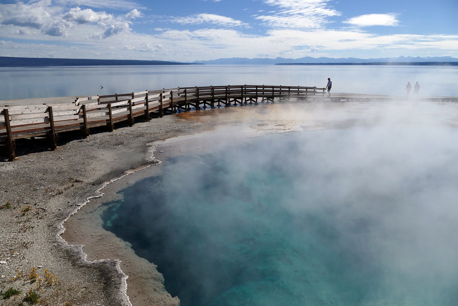
Book on Recreation.govNearby Hot Springs
Hot springs near Jardine, Montana

Bear Creek Springs
Bear Creek Springs discharges at 72°F -- only 31 degrees above ambient -- within Gallatin National Forest at 5,423 feet elevati...

Hot River
Hot River forms where thermal springs mix with cold stream water at 5,685 feet elevation near Mammoth Hot Springs in Yellowston...

Mammoth Hot Springs
Mammoth Hot Springs discharges at 163 degrees Fahrenheit just 6 meters from Upper Terrace Drive at 6,589 feet elevation, deposi...
Laduke (Corwin) Hot Spring
LaDuke Hot Spring, also called Corwin Hot Spring, discharges at 154°F on the Gallatin National Forest in Gallatin County, Monta...
Gas Vents At Horseshoe Hill
This thermal feature produces 97-degree Fahrenheit water at 7,640 feet elevation, accessible via 2.6-mile hike from Grand Loop ...

Calcite Springs
Calcite Springs emerges at 201 degrees Fahrenheit along the walls of the Grand Canyon of the Yellowstone, where superheated wat...
Looking for a soak after your hike? Explore more hot springs near Jardine, Montana on SoakingSprings.
Explore Montana springsAdditional Information
Nearby Attractions
The Clark Fork River and surrounding wilderness areas offer opportunities for fishing, hiking, and wildlife viewing.
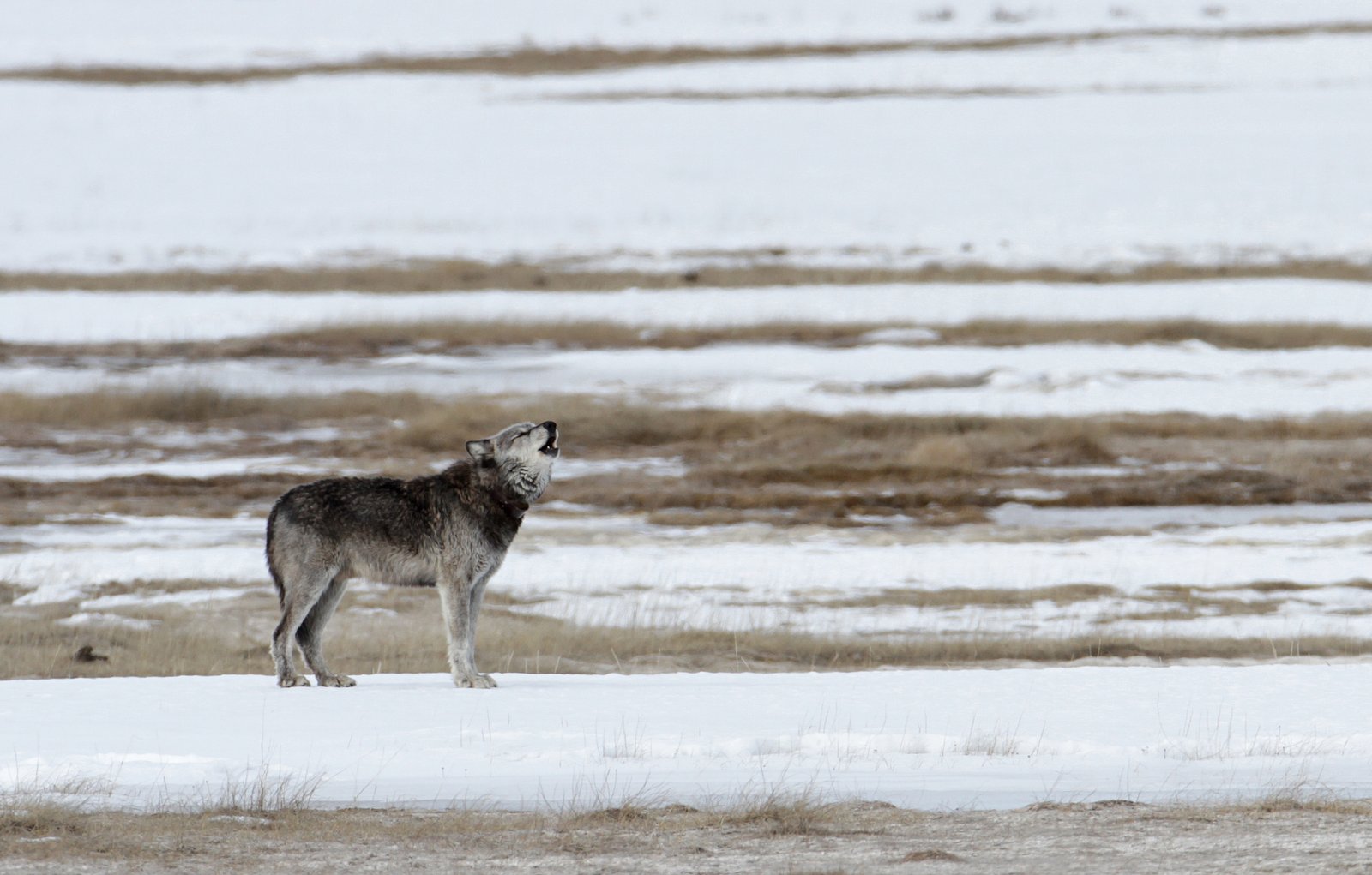
Wildlife
The area is home to a variety of wildlife, including deer, birds, and possibly bears. Visitors should be prepared for wildlife encounters.
Cities near Knowles Falls
Nearby Waterfalls
Writing about Knowles Falls? Embed this waterfall on your site for free.