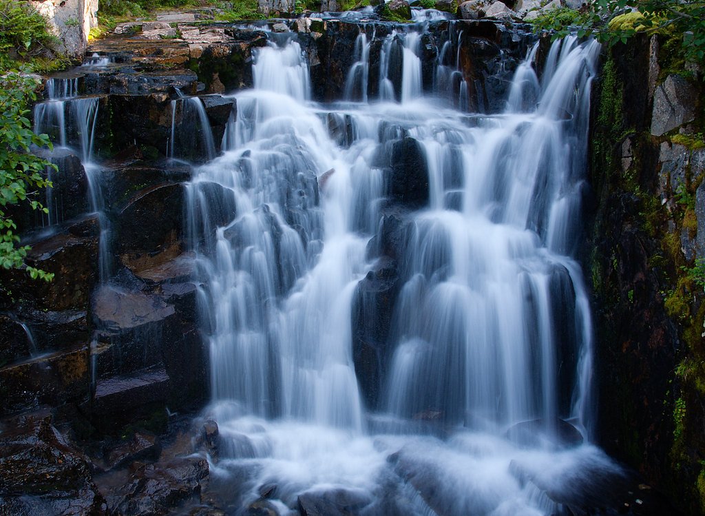
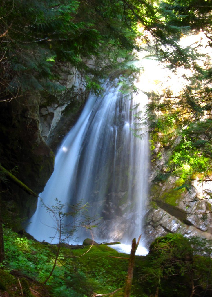
Sunbeam Falls
Washington • Mount Rainier National Park
By Armen Suny · Last verified May 2026
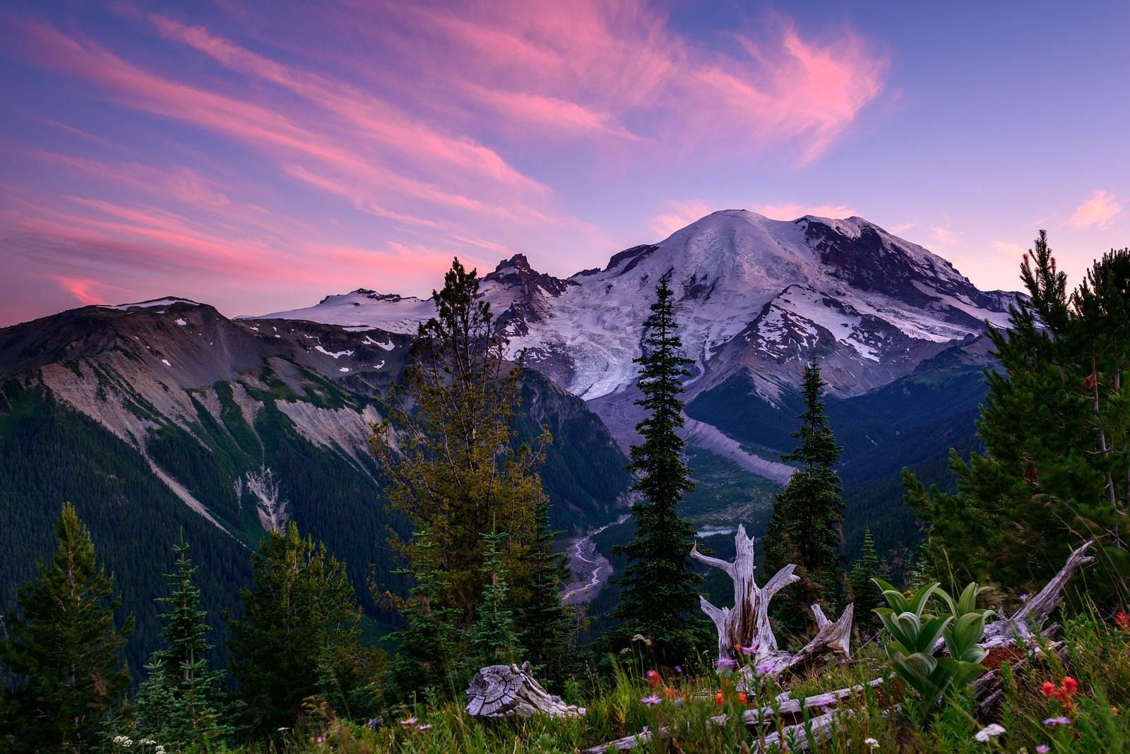
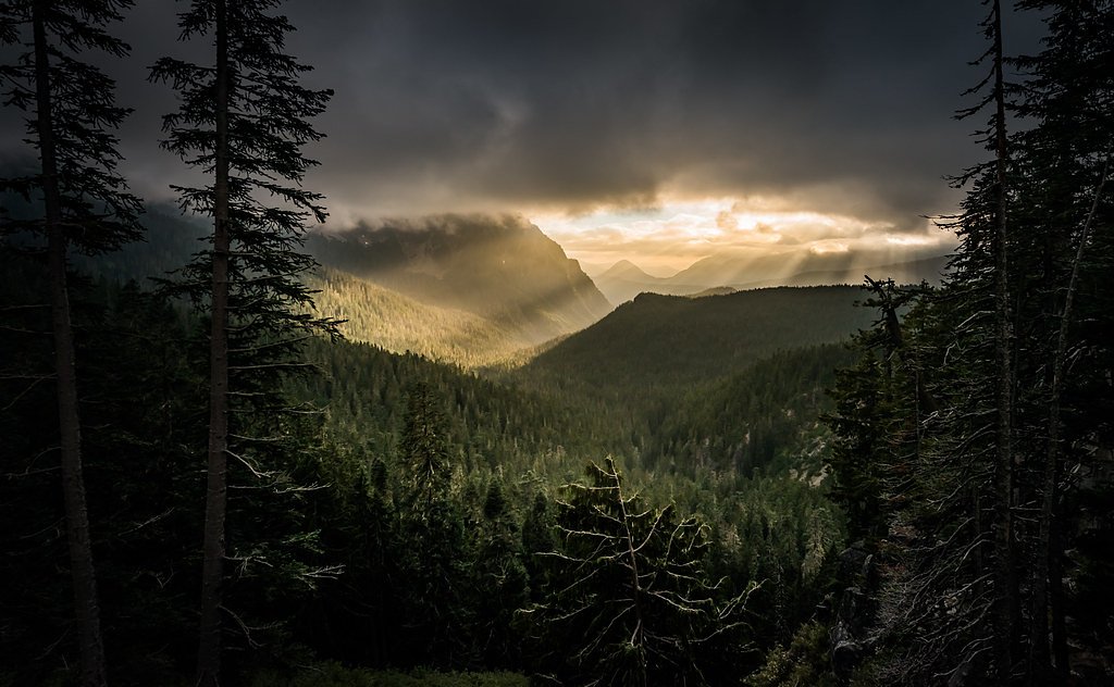
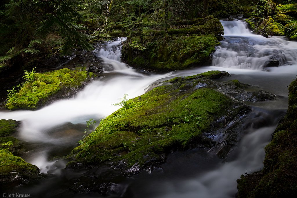
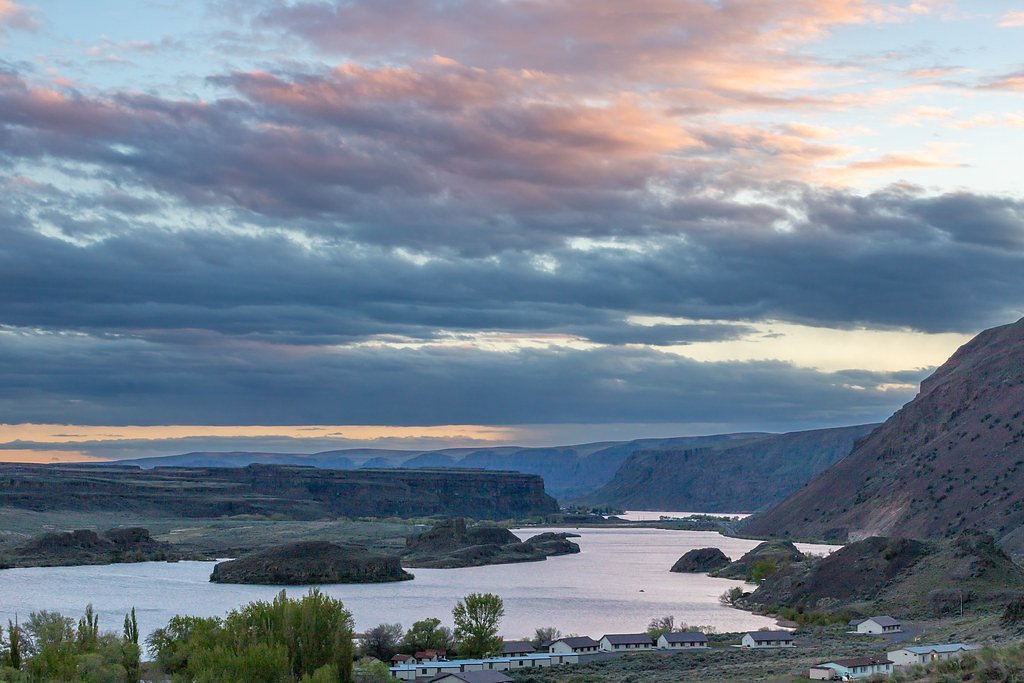

Photo Credits (5)
Difficulty
Moderate
Trail Length
2.4 miles
Trail Type
Out And Back
Elevation Gain
350 ft
About Sunbeam Falls
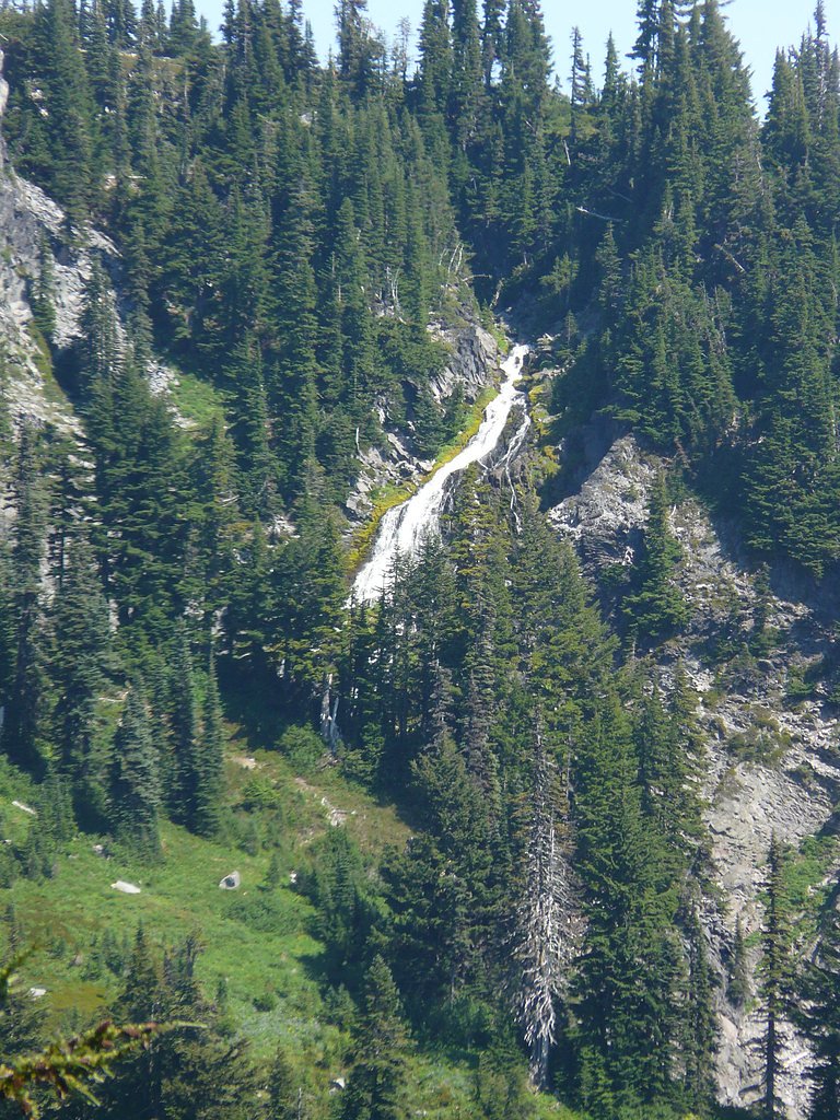
Sunbeam Falls is a picturesque waterfall located in Mount Rainier National Park, Washington. It is a cascading waterfall formed by the Sunbeam Creek as it flows down the slopes of Mount Rainier. The falls are known for their scenic beauty and are often photographed with the backdrop of lush greenery and the towering Mount Rainier.
The Setting
Sunbeam Falls sits at 4,452 feet within Mount Rainier National Park, fed by the Cowlitz River, in the mountains of Washington.
Nearby Falls Worth Visiting
Narada Falls (188 ft) lies 1.7 miles to the west. Also nearby: Martha Falls (150 ft, 0.9 mi).
Trail & Hike Details
The Approach
The moderate 2.4-mile out-and-back trail gains 350 feet of elevation on the way to the falls.
Trail Description
Sunbeam Falls does not require a hike to access, as it is visible from Stevens Canyon Road. Visitors can enjoy the view of the cascading falls from the roadside.
What to Expect
Visitors can expect a stunning view of a cascading waterfall surrounded by lush vegetation. The falls are particularly beautiful in the spring and early summer when water flow is at its peak due to snowmelt.
Accessibility
The trail is not wheelchair accessible. Uneven terrain and elevation changes require steady footing.
Frequently Asked Questions
🐶 Are Dogs Allowed at Sunbeam Falls?
❌ Dogs are not allowed
Are There Any Fees or Permits Required?
🤑 Fee: $30.00
🏊 Is There Swimming at Sunbeam Falls?
❌ Swimming is not allowed
When to Visit
The best time to visit Sunbeam Falls is in the spring and early summer when the water flow is strongest due to snowmelt. Fall also offers beautiful foliage in the surrounding area.
Seasonal Access
The best time to visit is Spring, Summer, and Fall. Winter access may be limited. Check with Mount Rainier National Park for current conditions.
Safety Information
Exercise caution when parking and walking along Stevens Canyon Road, as traffic can be heavy. Do not climb on rocks near the falls, as they may be slippery and dangerous.
Current Water Conditions
1,070 ft³/s
Current discharge — how much water is flowing
Much lower than usual for this time of year
Based on 96 years of record
1.55 ft
Water depth at gauge
7-Day Discharge Trend
What does this mean for your visit?
Flow is well below normal for this time of year, so the waterfall may be a trickle.
About This Gauge
This gauge is on a nearby waterway and may not reflect exact conditions at the falls.
7-Day Flow Outlook
Based on the USGS gauge COWLITZ RIVER AT PACKWOOD, WA (18 km away).
Today
Low
1177 cfs
4/10Tomorrow
Moderate
1245 cfs
4/10Sat
Moderate
1203 cfs
5/10Sun
Moderate
1103 cfs
5/10Mon
Moderate
1069 cfs
5/10Tue
Moderate
1059 cfs
5/10Wed
Moderate
1064 cfs
5/10Best window: Sat — moderate flow, light rain likely (trip score 5/10).
Best time of year: this gauge typically runs highest from mid April to mid July, peaking in June.
How we calculate this
This is a transparent outlook, not a precise forecast. We take the waterfall's current flow strength (how it ranks against its historical normal for today, from the nearest USGS stream gauge), carry that ranking forward along the gauge's seasonal curve, and nudge it for forecast rain. Confidence is highest for the next day or two and falls further out. Always check official conditions and your own judgment before visiting — high flows can be dangerous.
Know when to go.
Get a free email alert when waterfalls near Packwood hit peak flow. We only send when conditions are worth the trip — no weekly newsletters, no spam.
Weather Forecast
Location & Access
Getting There
Sunbeam Falls is located along Stevens Canyon Road in Mount Rainier National Park. The falls are visible from the road, making them easily accessible for visitors traveling through the park.
Get Directions on Google MapsParking
There is limited roadside parking available near the falls along Stevens Canyon Road. Visitors should exercise caution when parking and exiting their vehicles due to traffic.
Elevation
4,452 feet above sea level
Coordinates
46.774554° N, -121.711204° W
Land Management
Managed by NPS
Visitor Tips & Gear
Visit early in the day to avoid crowds and ensure parking availability. Bring a camera to capture the scenic beauty of the falls. Be cautious when stopping along the road, as traffic can be busy during peak seasons.
As an Amazon Associate, we earn from qualifying purchases.
With 2.4 miles and 350 ft of elevation gain, sturdy boots and trekking poles will help on this moderate trail. Sun exposure on the trail makes good sun protection a must in summer.
America the Beautiful Annual Pass
Covers entrance fees at 2,000+ federal recreation sites — required at most National Parks.

Polarized Sunglasses (Knockaround)
Cuts glare off the water so you actually see the falls — and your photos turn out better too.

Columbia Watertight II Rain Jacket
Packs into its own pocket, seam-sealed, and keeps you dry from spray and surprise rain.

Earth Pak Waterproof Dry Bag
Keeps your phone and gear dry when waterfall mist soaks everything else.

Waterproof Phone Pouch (AiRunTech)
Cheap insurance — take photos right next to the falls without killing your phone.

Timberland Euro Sprint Mid Waterproof
Trusted waterproof boot with premium leather and grippy rubber sole — reliable on rocky, wet trails.

TrailBuddy Trekking Poles
Lightweight aluminum, cork grips, and flip-locks that actually hold — a best-seller for good reason.
Where to Stay

Mountain Meadows Inn & Chalet Suites

Tiny Timber

Gateway Inn & Cabins

Rainier Spa Cabin 7 Minutes to Park
Browse vacation cabins and private rentals nearby
Unique outdoor stays — tents, yurts, and treehouses
Rent a campervan or RV for your waterfall road trip
Some links are affiliate links. We may earn a commission at no extra cost to you.
Nearby Campground
COUGAR ROCK CAMPGROUND
4 miles away · 184 sites
Overview Cougar Rock Campground, on the southwest side of Mt. Rainier National Park, is conveniently located near Paradise. Individual campsites are reservable on this page. Group campsite reservations can be made via Cougar Rock Group Campground. Paradise is the most popular destination in the park, with a lodge and visitor center, many miles of hiking trails and a commanding view of the mountain-the highest in the state and Cascade range. The main attraction at Mount Rainier National Park is t
Book on Recreation.govNearby Hot Springs
Hot springs near Packwood, Washington

Longmire Mineral Springs
Longmire Mineral Springs flows at 77 degrees within Mount Rainier National Park at 2,758 feet elevation, emerging 31.9 degrees ...

Mt Rainier Fumaroles
Mount Rainier fumaroles reach 162 degrees at 14,217 feet elevation, emerging 154.8 degrees above ambient at Washington's highes...

Ohanapecosh Hot Springs
Ohanapecosh Hot Springs flows at 122 degrees within Mount Rainier National Park at 1,920 feet elevation, emerging 74.5 degrees ...
Packwood Hot Spring
Packwood Hot Spring flows at 100 degrees at 1,002 feet elevation in the lower Cascade foothills near Morton, emerging 49.8 degr...
Orr Creek Warm Springs
Orr Creek Warm Springs emerges at 72 degrees in the Gifford Pinchot National Forest at 2,910 feet elevation, flowing 26.5 degre...
Lester Hot Springs
This 120-degree spring sits within the City of Tacoma Watershed at 1,582 feet elevation, emerging 72.3 degrees above ambient in...
Looking for a soak after your hike? Explore more hot springs near Packwood, Washington on SoakingSprings.
Explore Washington springsAdditional Information
Nearby Attractions
Nearby attractions include Reflection Lakes, Paradise Visitor Center, and Narada Falls, all located within Mount Rainier National Park.
Wildlife
Visitors may encounter wildlife such as deer, marmots, and various bird species in the area. Always observe wildlife from a safe distance.
Cities near Sunbeam Falls
Nearby Waterfalls


Writing about Sunbeam Falls? Embed this waterfall on your site for free.