
Photo Credits (1)
Difficulty
Moderate
Trail Length
2.4 miles
Trail Type
Out And Back
Elevation Gain
350 ft
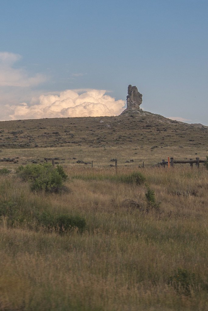
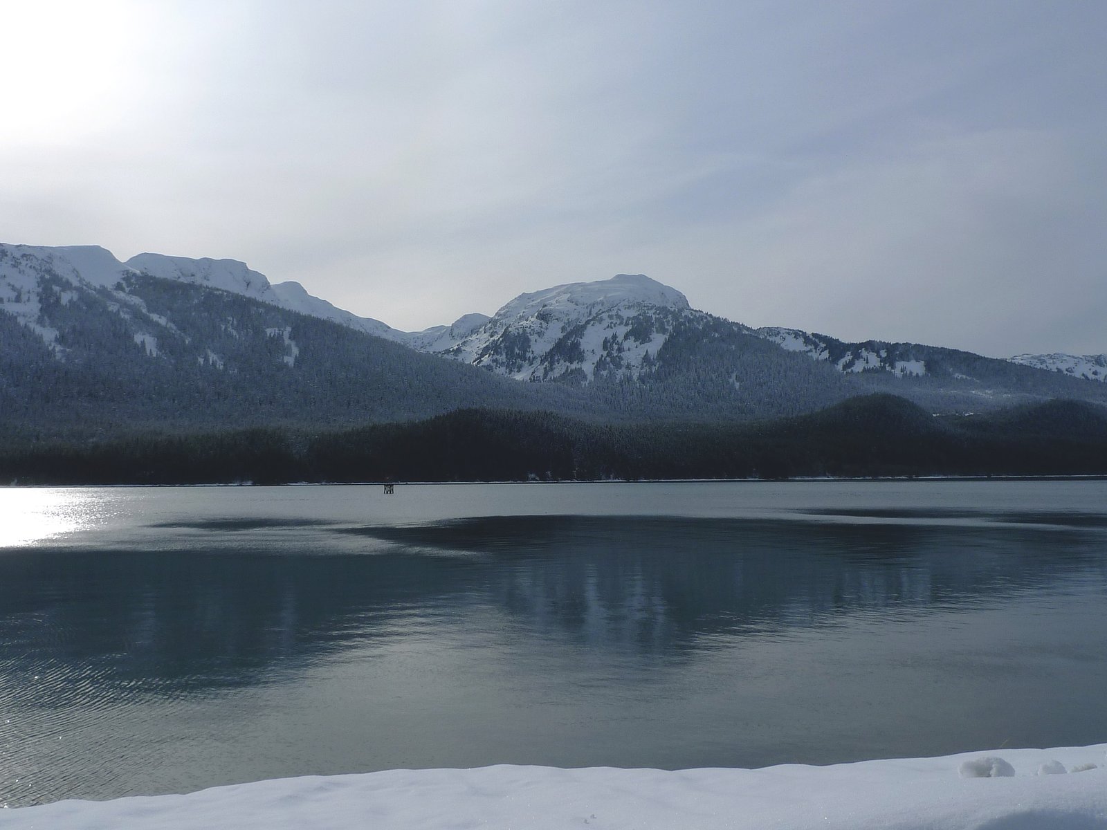
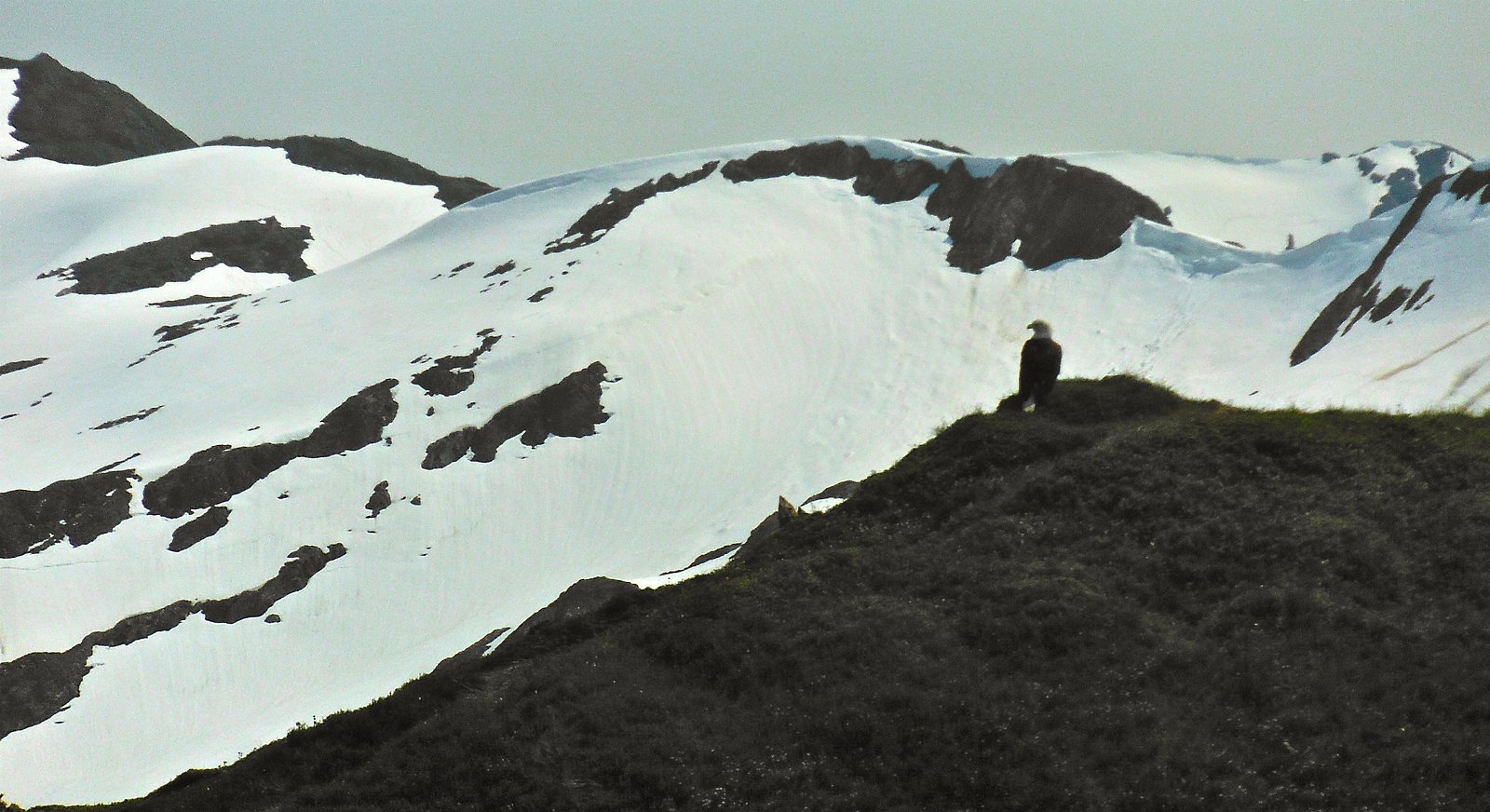
About Suicide Falls
Suicide Falls sits tucked into Alaska’s rugged backcountry, offering a quiet, off-the-beaten-path cascade for hikers who enjoy solitude and wild scenery. The waterfall’s exact height and seasonal flow aren’t widely documented, which only adds to its remote, exploratory appeal. Visitors should expect classic Alaskan wilderness — rocky ridgelines, dense vegetation in places, and expansive natural views rather than developed viewpoints or interpretive facilities. Access to the falls is most commonly made via a short but engaging outing: the approach is about 2.4 miles round-trip with roughly 350 feet of elevation gain, rated moderate in difficulty and typically done as an out-and-back. Because the route isn’t a heavily maintained or heavily signed attraction, it rewards hikers who come prepared with basic navigation skills and a spirit for self-guided discovery.
Trail & Hike Details
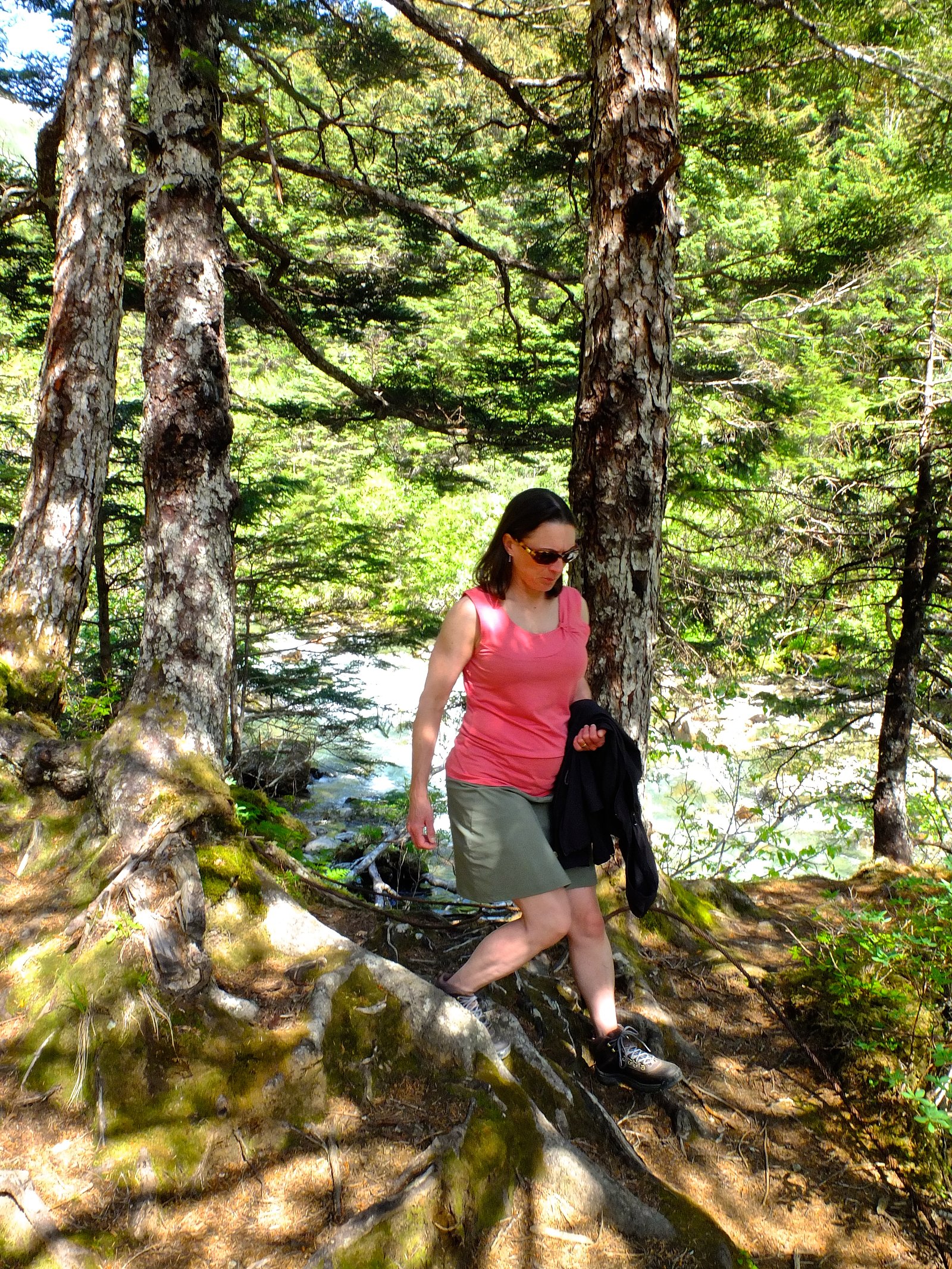
The Approach
The moderate 2.4-mile out-and-back trail gains 350 feet of elevation on the way to the falls.
Trail Description
Round-trip distance: 2.4 miles; elevation gain: ~350 ft; difficulty: moderate; trail type: out-and-back. The route to Suicide Falls is not a widely documented, heavily maintained trail and may require some off-trail navigation or route-finding. Expect variable footing and natural surfaces rather than paved or built tread; average grade is moderate given the modest elevation gain. There is no commonly cited USFS trail name or number for this approach, so bring a map, GPS or compass and be prepared for primitive trail conditions.
What to Expect
Expect a remote and tranquil experience surrounded by Alaska's pristine wilderness. Wildlife sightings are possible, and the area may be slippery or muddy depending on recent weather conditions.
Accessibility
The trail is not wheelchair accessible. Uneven terrain and elevation changes require steady footing.
Frequently Asked Questions
🐶 Are Dogs Allowed at Suicide Falls?
❌ Dogs are not allowed
Are There Any Fees or Permits Required?
🆖 No fees required
🏊 Is There Swimming at Suicide Falls?
❌ Swimming is not allowed
When to Visit
Summer is typically the best time to visit due to longer daylight hours and more favorable weather conditions. However, the waterfall may be accessible year-round for experienced adventurers.
Seasonal Access
The best time to visit is Spring, Summer, Fall, and Winter.
Safety Information
Water temperature is currently 39°F — cold enough to cause numbness quickly. Avoid prolonged water contact and use caution near the falls.
Visitors should be prepared for remote wilderness conditions. Carry bear spray, be aware of wildlife, and watch for slippery or uneven terrain. Cell phone service may be limited or unavailable.
Current Water Conditions
320 ft³/s
Current discharge — how much water is flowing
About average for this time of year
Based on 45 years of record
7.66 ft
Water depth at gauge
39°F
Dangerously coldRisk of cold shock
7-Day Discharge Trend
What does this mean for your visit?
Flow is about average for this time of year. Water temperature is dangerously cold at 39 degrees F, avoid prolonged contact.
About This Gauge
This gauge is on a nearby waterway and may not reflect exact conditions at the falls.
7-Day Flow Outlook
Based on the USGS gauge LEMON C NR JUNEAU AK (14 km away).
Today
Moderate
320 cfs
6/10Tomorrow
Moderate
299 cfs
6/10Sun
Moderate
323 cfs
6/10Mon
Moderate
332 cfs
6/10Tue
Moderate
327 cfs
6/10Wed
Moderate
336 cfs
6/10Thu
Moderate
333 cfs
6/10Best window: Today — moderate flow, mostly cloudy (trip score 6/10).
Best time of year: this gauge typically runs highest from late June to early September, peaking in August.
How we calculate this
This is a transparent outlook, not a precise forecast. We take the waterfall's current flow strength (how it ranks against its historical normal for today, from the nearest USGS stream gauge), carry that ranking forward along the gauge's seasonal curve, and nudge it for forecast rain. Confidence is highest for the next day or two and falls further out. Always check official conditions and your own judgment before visiting — high flows can be dangerous.
Know when to go.
Get a free email alert when waterfalls near Juneau hit peak flow. We only send when conditions are worth the trip — no weekly newsletters, no spam.
Weather Forecast
Location & Access
Getting There
Access to Suicide Falls may require navigating unmarked trails or off-trail hiking through dense forest. It is recommended to consult local guides or experienced hikers familiar with the area for directions.
Get Directions on Google MapsParking
Parking availability is uncertain. Visitors may need to park along nearby roads or at informal pullouts.
Elevation
351 feet above sea level
Coordinates
58.275556° N, -134.353611° W
Visitor Tips & Gear
Bring a detailed map or GPS device, as trails may not be marked. Wear sturdy hiking boots and dress in layers to prepare for changing weather conditions. Inform someone of your plans before heading out.
As an Amazon Associate, we earn from qualifying purchases.
With 2.4 miles and 350 ft of elevation gain, sturdy boots and trekking poles will help on this moderate trail. Icy conditions are common in winter — traction cleats are a smart addition.

Columbia Watertight II Rain Jacket
Packs into its own pocket, seam-sealed, and keeps you dry from spray and surprise rain.

Polarized Sunglasses (Knockaround)
Cuts glare off the water so you actually see the falls — and your photos turn out better too.

Earth Pak Waterproof Dry Bag
Keeps your phone and gear dry when waterfall mist soaks everything else.

Waterproof Phone Pouch (AiRunTech)
Cheap insurance — take photos right next to the falls without killing your phone.

Timberland Euro Sprint Mid Waterproof
Trusted waterproof boot with premium leather and grippy rubber sole — reliable on rocky, wet trails.

TrailBuddy Trekking Poles
Lightweight aluminum, cork grips, and flip-locks that actually hold — a best-seller for good reason.
Where to Stay

Baranof Downtown, BW Signature Collection

Downtown Juneau Gold Street Inn

Alaskan Hotel and Bar

Silverbow Inn
Browse vacation cabins and private rentals nearby
Unique outdoor stays — tents, yurts, and treehouses
Rent a campervan or RV for your waterfall road trip
Some links are affiliate links. We may earn a commission at no extra cost to you.
Nearby Campground
YOUNG LAKE (NORTH) CABIN
11 miles away · 1 sites
Overview North Young Lake Cabin offers guests recreation, relaxation and a unique wilderness lodging experience on the northern tip of Admiralty Island in the Tongass National Forest. The remote site offers a scenic setting for hiking, fishing, boating, berry picking and wildlife viewing, all within the vicinity of the cabin. Young Lake North Cabin is one of two cabins on the lake. The other is the South Young Lake Cabin. Access to the cabin is float plane only. Visitors are responsible for their
Book on Recreation.govNearby Hot Springs
Hot springs near Juneau, Alaska

Tenakee Hot Springs
Tenakee Hot Springs flows at 43.5°C (110°F) in the small community of Tenakee Springs, a charming Southeast Alaska village wher...
Nylen Hot Springs
Nylen Hot Springs occupy protected National Forest land in Southeast Alaska at 1,664 feet elevation, where open public access c...
Looking for a soak after your hike? Explore more hot springs near Juneau, Alaska on SoakingSprings.
Explore Alaska springsAdditional Information
Nearby Attractions
Nearby attractions are not well-documented, but the surrounding wilderness offers opportunities for hiking, wildlife viewing, and exploring Alaska's natural beauty.
Wildlife
The area is home to a variety of wildlife, including bears, moose, and birds. Visitors should exercise caution and follow wildlife safety guidelines.
Cities near Suicide Falls
Nearby Waterfalls

Other waterfalls named Suicide Falls
1 other waterfall shares this name across the U.S.
Writing about Suicide Falls? Embed this waterfall on your site for free.