
Grindstone Falls
By Armen Suny · Last verified May 2026
Difficulty
Moderate
Trail Length
2.4 miles
Trail Type
Out And Back
Elevation Gain
350 ft
About Grindstone Falls
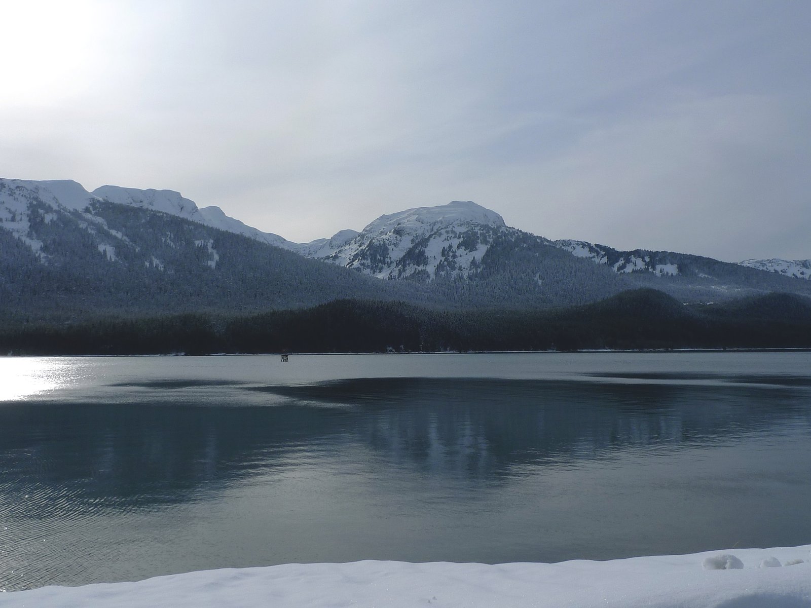
Grindstone Falls sits tucked away in Alaska’s backcountry, a quiet, lesser-known cascade framed by unspoiled wilderness. Visitors come for the sense of solitude more than marked viewpoints — detailed measurements of the falls’ height and flow aren’t widely published, which only adds to the feeling of discovery when you first round the bend and hear water over rock. The setting is classic Alaskan: dense forest, sashays of alder and spruce, and the clean, crisp air that makes a short hike feel like a proper escape. Access to Grindstone Falls is a modest but rewarding outing: the approach is a 2.4-mile out-and-back with about 350 feet of elevation gain and is generally rated moderate. Because the area is remote, the nearest maintained lodging is the YOUNG LAKE (SOUTH) CABIN, roughly 16.75 km (about 10.4 miles) away, so plan your day and weather windows accordingly. Expect quiet trails and bring navigation tools — this is a place for hikers who like a little solitude and a bit of exploration.
Trail & Hike Details
The Approach
The moderate 2.4-mile out-and-back trail gains 350 feet of elevation on the way to the falls.
Trail Description
Trail to Grindstone Falls: 2.4 miles round-trip (out-and-back) with approximately 350 feet of elevation gain; rated moderate. Official USFS surface, grade, and trail class details are not listed for this route, and sections may be minimally maintained or unmarked. Hikers should be prepared for typical Alaskan backcountry footing and possible route-finding: carry a map/GPS and navigation tools, wear sturdy footwear, and allow extra time for slow, careful travel in dense terrain.
What to Expect
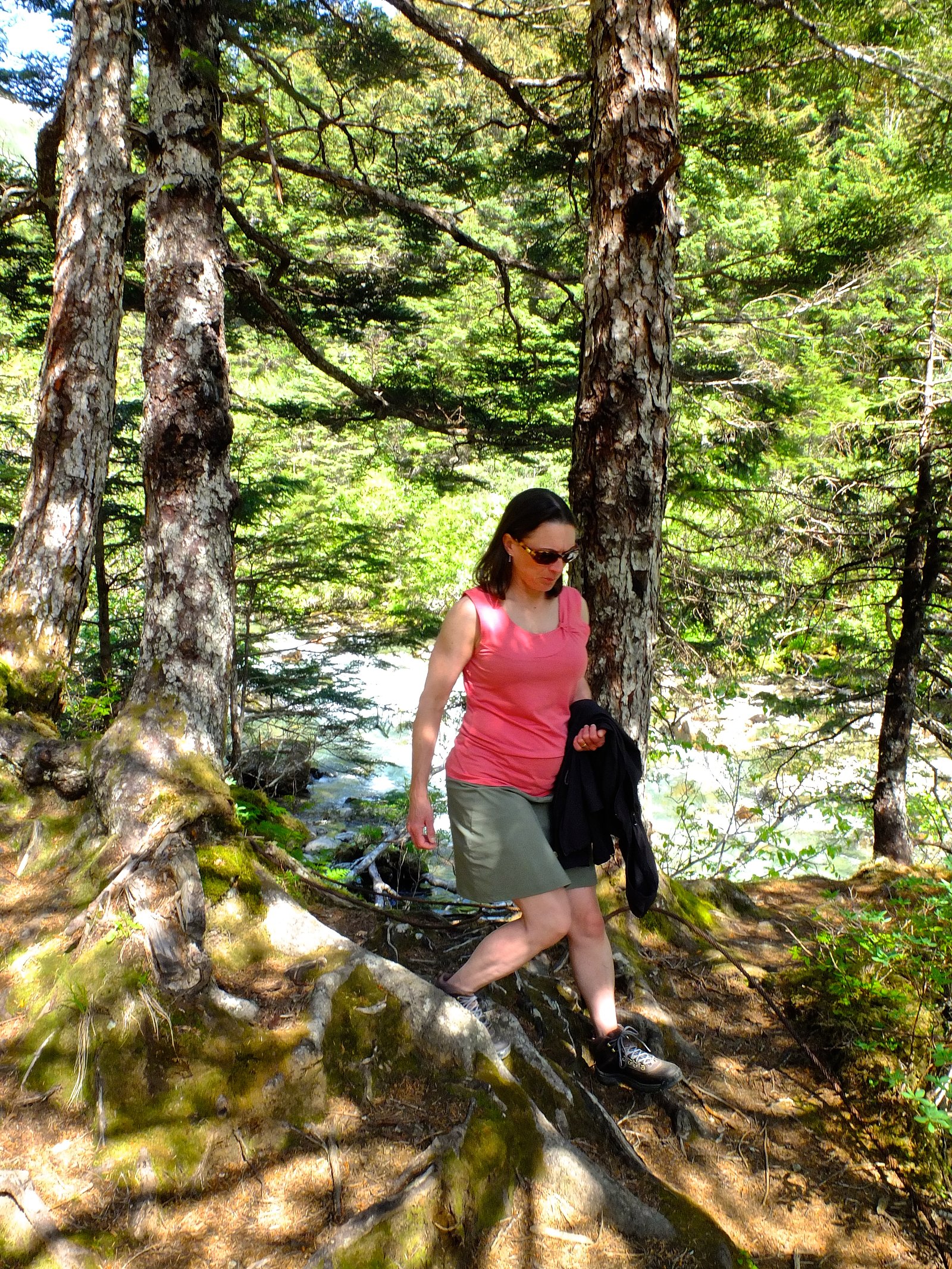
Visitors can expect a remote and tranquil setting, surrounded by Alaska's natural beauty. The falls are likely to be less crowded due to their secluded location, making them ideal for those seeking solitude.
Accessibility
The trail is not wheelchair accessible. Uneven terrain and elevation changes require steady footing.
Frequently Asked Questions
🐶 Are Dogs Allowed at Grindstone Falls?
❌ Dogs are not allowed
Are There Any Fees or Permits Required?
🆖 No fees required
🏊 Is There Swimming at Grindstone Falls?
❌ Swimming is not allowed
When to Visit
Summer is typically the best time to visit due to more favorable weather and accessibility. However, the falls may also be accessible in other seasons depending on local conditions.
Seasonal Access
The best time to visit is Spring, Summer, Fall, and Winter.
Safety Information
Water temperature is currently 39°F — cold enough to cause numbness quickly. Avoid prolonged water contact and use caution near the falls.
Visitors should be aware of potential hazards, including wildlife encounters, rapidly changing weather, and challenging terrain. Carry bear spray and know how to use it. Inform someone of your plans before visiting.
Current Water Conditions
256 ft³/s
Current discharge — how much water is flowing
Lower than usual for this time of year
Based on 45 years of record
7.43 ft
Water depth at gauge
39°F
Dangerously coldRisk of cold shock
7-Day Discharge Trend
What does this mean for your visit?
Flow is lower than usual for this time of year. Water temperature is dangerously cold at 39 degrees F, avoid prolonged contact.
About This Gauge
This gauge is on a nearby waterway and may not reflect exact conditions at the falls.
7-Day Flow Outlook
Based on the USGS gauge LEMON C NR JUNEAU AK (22 km away).
Today
Barely Flowing
277 cfs
3/10Tomorrow
Low
287 cfs
4/10Mon
Low
284 cfs
4/10Tue
Low
280 cfs
4/10Wed
Low
288 cfs
4/10Thu
Low
285 cfs
4/10Fri
Low
304 cfs
4/10Best window: Tomorrow — low flow, chance rain showers (trip score 4/10).
Best time of year: this gauge typically runs highest from late June to early September, peaking in August.
How we calculate this
This is a transparent outlook, not a precise forecast. We take the waterfall's current flow strength (how it ranks against its historical normal for today, from the nearest USGS stream gauge), carry that ranking forward along the gauge's seasonal curve, and nudge it for forecast rain. Confidence is highest for the next day or two and falls further out. Always check official conditions and your own judgment before visiting — high flows can be dangerous.
Know when to go.
Get a free email alert when waterfalls near Juneau hit peak flow. We only send when conditions are worth the trip — no weekly newsletters, no spam.
Weather Forecast
Location & Access
Getting There
Access to Grindstone Falls may require traveling through rugged terrain, potentially involving off-road vehicles or hiking. Specific directions are not well-documented, so visitors should research local guides or consult with nearby park services for assistance.
Get Directions on Google MapsParking
Parking availability is unclear, but visitors should prepare for limited or no designated parking areas near the falls.
Elevation
0 feet above sea level
Coordinates
58.216667° N, -134.250000° W
Visitor Tips & Gear
Plan ahead and ensure you have detailed maps or GPS devices. Check weather conditions before visiting, as Alaska's weather can change rapidly. Bring appropriate gear for hiking and wilderness exploration.
As an Amazon Associate, we earn from qualifying purchases.
With 2.4 miles and 350 ft of elevation gain, sturdy boots and trekking poles will help on this moderate trail. Icy conditions are common in winter — traction cleats are a smart addition.

Columbia Watertight II Rain Jacket
Packs into its own pocket, seam-sealed, and keeps you dry from spray and surprise rain.

Polarized Sunglasses (Knockaround)
Cuts glare off the water so you actually see the falls — and your photos turn out better too.

Earth Pak Waterproof Dry Bag
Keeps your phone and gear dry when waterfall mist soaks everything else.

Waterproof Phone Pouch (AiRunTech)
Cheap insurance — take photos right next to the falls without killing your phone.

Timberland Euro Sprint Mid Waterproof
Trusted waterproof boot with premium leather and grippy rubber sole — reliable on rocky, wet trails.

TrailBuddy Trekking Poles
Lightweight aluminum, cork grips, and flip-locks that actually hold — a best-seller for good reason.
Where to Stay

Downtown Juneau Gold Street Inn

Glacier Guest Room - PRIVATE ROOM IN SHARED HOUSE REDUCED PRICE ON TOURS

Silverbow Inn

Kelli Creek Cottage - REDUCED PRICE ON TOURS
Browse vacation cabins and private rentals nearby
Unique outdoor stays — tents, yurts, and treehouses
Rent a campervan or RV for your waterfall road trip
Some links are affiliate links. We may earn a commission at no extra cost to you.
Nearby Campground
YOUNG LAKE (SOUTH) CABIN
10.4 miles away · 1 sites
Overview South Young Lake Cabin offers guests recreation, relaxation and a unique wilderness lodging experience on the northern tip of Admiralty Island in the Tongass National Forest. The remote site offers a scenic setting for hiking, fishing, boating, berry picking and wildlife viewing, all within the vicinity of the cabin. South Young Lake Cabin is one of two cabins on the lake. The other is the North Young Lake cabin. Access to the cabin is float plane only. Visitors are responsible for their
Book on Recreation.govNearby Hot Springs
Hot springs near Juneau, Alaska

Tenakee Hot Springs
Tenakee Hot Springs flows at 43.5°C (110°F) in the small community of Tenakee Springs, a charming Southeast Alaska village wher...
Nylen Hot Springs
Nylen Hot Springs occupy protected National Forest land in Southeast Alaska at 1,664 feet elevation, where open public access c...
Looking for a soak after your hike? Explore more hot springs near Juneau, Alaska on SoakingSprings.
Explore Alaska springsAdditional Information
Nearby Attractions
Nearby attractions are not well-documented, but the surrounding wilderness may offer opportunities for hiking, wildlife viewing, and photography.
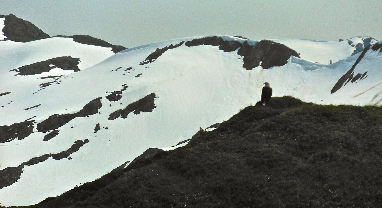
Wildlife
The area is likely home to a variety of Alaskan wildlife, including bears, moose, and birds. Visitors should be prepared for wildlife encounters and follow safety guidelines.
Cities near Grindstone Falls
Nearby Waterfalls
Other waterfalls named Grindstone Falls
1 other waterfall shares this name across the U.S.
Writing about Grindstone Falls? Embed this waterfall on your site for free.