
Alaska Chief Falls
By Armen Suny · Last verified May 2026
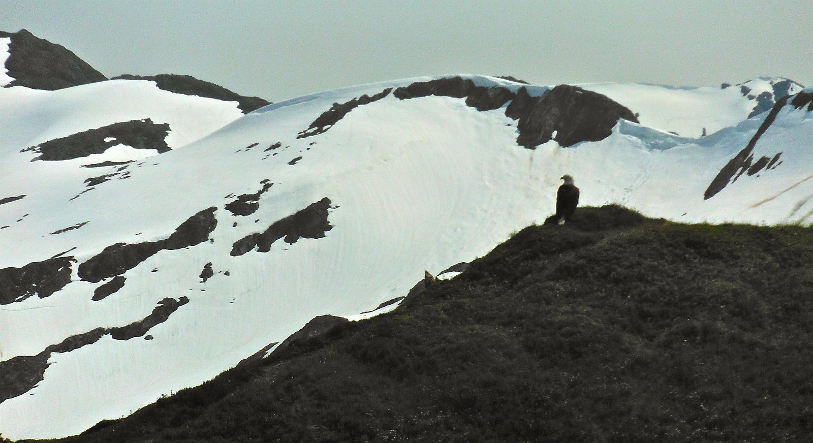
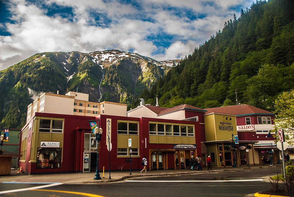

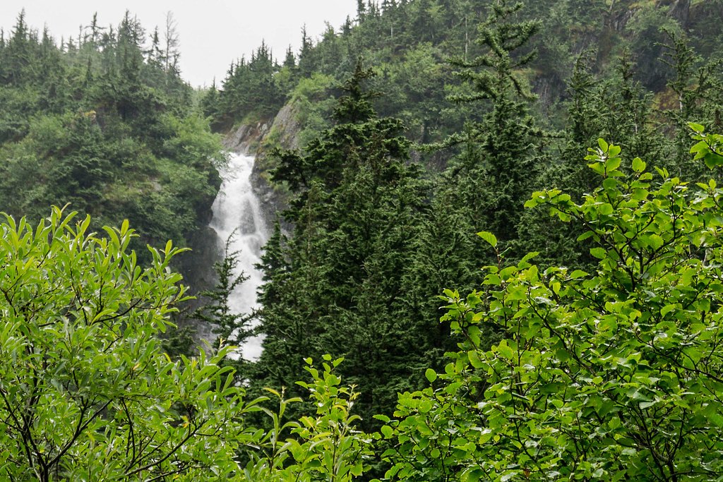

Photo Credits (5)
Difficulty
Moderate
Trail Length
2.4 miles
Trail Type
Out And Back
Elevation Gain
350 ft
About Alaska Chief Falls
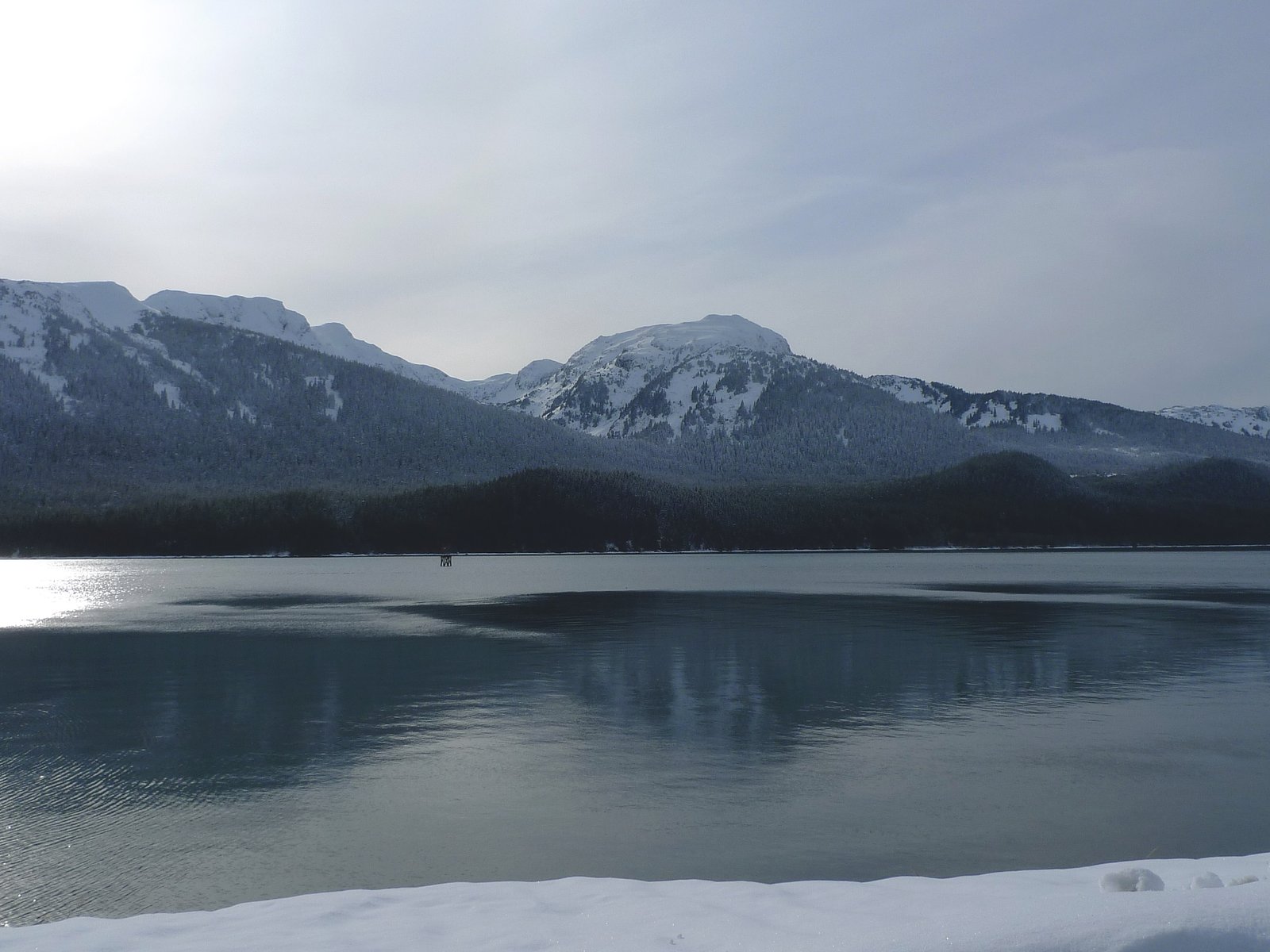
Alaska Chief Falls tumbles through a remote stretch of Alaskan forest, offering a powerful, photogenic cascade framed by dense spruce and mossy rocks. The setting feels wild and secluded — ideal for hikers who want a brisk outing with a dramatic payoff rather than a long backcountry expedition. Photographers and day-trippers will appreciate the close-up views of rushing water and the quiet, forested approach. The falls are reached via a 2.4-mile out-and-back route that gains roughly 350 feet and is typically rated moderate. Expect uneven footing with some rocky or rooty sections and a few steeper pitches, so sturdy footwear and a steady pace make the climb more enjoyable. No USFS trail name or number was provided in the available data, and the nearest campground (Mendenhall Campground) is about 17.7 km away, so many visitors treat this as a day hike and plan accordingly.
Trail & Hike Details
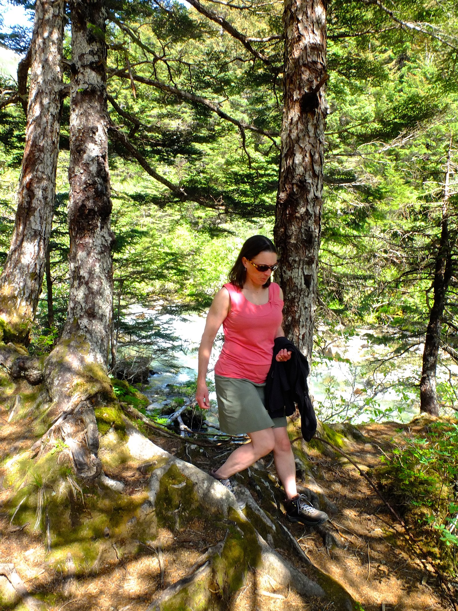
The Approach
The moderate 2.4-mile out-and-back trail gains 350 feet of elevation on the way to the falls.
Trail Description
Route type: 2.4-mile out-and-back (round trip). Elevation gain: ~350 feet. Difficulty: Moderate. Surface/grade/class: Not specified in the provided data. The trail is relatively short but includes uneven, sometimes rocky or rooty tread and several steeper sections—plan on good hiking shoes and careful footing. Because no USFS trail name or number was provided, check local trail reports or contact regional ranger offices before you go and be prepared for remote conditions and limited nearby services.
What to Expect
Expect a remote and scenic waterfall surrounded by Alaska's wilderness. The area may feature dense forests, rocky terrain, and stunning views of the natural landscape.
Accessibility
The trail is not wheelchair accessible. Uneven terrain and elevation changes require steady footing.
Frequently Asked Questions
🐶 Are Dogs Allowed at Alaska Chief Falls?
❌ Dogs are not allowed
Are There Any Fees or Permits Required?
🆖 No fees required
🏊 Is There Swimming at Alaska Chief Falls?
❌ Swimming is not allowed
When to Visit
The best time to visit may be during late spring through early fall when weather conditions are more favorable and trails are likely to be accessible.
Seasonal Access
The best time to visit is Spring, Summer, Fall, and Winter.
Safety Information
Water temperature is currently 38°F — cold enough to cause numbness quickly. Avoid prolonged water contact and use caution near the falls.
Visitors should be prepared for remote wilderness conditions. Carry bear spray, be aware of wildlife, and ensure you have adequate supplies and navigation tools. Weather can change rapidly in Alaska, so plan accordingly.
Current Water Conditions
275 ft³/s
Current discharge — how much water is flowing
Lower than usual for this time of year
Based on 46 years of record
7.50 ft
Water depth at gauge
38°F
Dangerously coldRisk of cold shock
7-Day Discharge Trend
What does this mean for your visit?
Flow is lower than usual for this time of year. Water temperature is dangerously cold at 38 degrees F, avoid prolonged contact.
About This Gauge
This gauge is on a nearby waterway and may not reflect exact conditions at the falls.
7-Day Flow Outlook
Based on the USGS gauge LEMON C NR JUNEAU AK (11 km away).
Today
Low
285 cfs
4/10Tomorrow
Low
293 cfs
4/10Fri
Low
313 cfs
4/10Sat
Low
345 cfs
4/10Sun
Low
347 cfs
4/10Mon
Low
319 cfs
4/10Tue
Low
313 cfs
4/10Best window: Today — low flow, chance rain showers (trip score 4/10).
Best time of year: this gauge typically runs highest from late June to early September, peaking in August.
How we calculate this
This is a transparent outlook, not a precise forecast. We take the waterfall's current flow strength (how it ranks against its historical normal for today, from the nearest USGS stream gauge), carry that ranking forward along the gauge's seasonal curve, and nudge it for forecast rain. Confidence is highest for the next day or two and falls further out. Always check official conditions and your own judgment before visiting — high flows can be dangerous.
Know when to go.
Get a free email alert when waterfalls near Juneau hit peak flow. We only send when conditions are worth the trip — no weekly newsletters, no spam.
Weather Forecast
Location & Access
Getting There
Access to Alaska Chief Falls may require a combination of driving and hiking, as it is located in a remote area. Specific directions are not widely documented, so visitors should research local maps and consult with park services or guides.
Get Directions on Google MapsParking
Parking availability is unclear, but visitors may need to park at a trailhead or designated area nearby.
Elevation
1,260 feet above sea level
Coordinates
58.305000° N, -134.340000° W
Visitor Tips & Gear
Bring appropriate gear for hiking in remote areas, including sturdy footwear, weather-appropriate clothing, and navigation tools. Check weather conditions and trail reports before visiting.
As an Amazon Associate, we earn from qualifying purchases.
With 2.4 miles and 350 ft of elevation gain, sturdy boots and trekking poles will help on this moderate trail. Icy conditions are common in winter — traction cleats are a smart addition.

Columbia Watertight II Rain Jacket
Packs into its own pocket, seam-sealed, and keeps you dry from spray and surprise rain.

Polarized Sunglasses (Knockaround)
Cuts glare off the water so you actually see the falls — and your photos turn out better too.

Earth Pak Waterproof Dry Bag
Keeps your phone and gear dry when waterfall mist soaks everything else.

Waterproof Phone Pouch (AiRunTech)
Cheap insurance — take photos right next to the falls without killing your phone.

Timberland Euro Sprint Mid Waterproof
Trusted waterproof boot with premium leather and grippy rubber sole — reliable on rocky, wet trails.

TrailBuddy Trekking Poles
Lightweight aluminum, cork grips, and flip-locks that actually hold — a best-seller for good reason.
Where to Stay

Downtown Juneau Gold Street Inn

Alaskan Hotel and Bar

Glacier Guest Room - PRIVATE ROOM IN SHARED HOUSE REDUCED PRICE ON TOURS

Baranof Downtown, BW Signature Collection
Browse vacation cabins and private rentals nearby
Unique outdoor stays — tents, yurts, and treehouses
Rent a campervan or RV for your waterfall road trip
Some links are affiliate links. We may earn a commission at no extra cost to you.
Nearby Campground
MENDENHALL CAMPGROUND
11 miles away · 70 sites
Overview Mendenhall Campground is situated on the shore of Mendenhall Lake, in view of massive Mendenhall Glacier, about 13 miles from downtown Juneau. The site is a popular destination for viewing beautiful scenery and abundant wildlife. Hiking opportunities abound.Recreation The West Glacier Trail, with an elevation gain of 1,300 feet, can be hiked in 5-6 hours roundtrip. The trailhead is a half mile from the campground entrance by road or on the Aak'w Sit' Trail. The .4 mile Tolch Rock Trail i
Book on Recreation.govNearby Hot Springs
Hot springs near Juneau, Alaska

Tenakee Hot Springs
Tenakee Hot Springs flows at 43.5°C (110°F) in the small community of Tenakee Springs, a charming Southeast Alaska village wher...
Nylen Hot Springs
Nylen Hot Springs occupy protected National Forest land in Southeast Alaska at 1,664 feet elevation, where open public access c...
Looking for a soak after your hike? Explore more hot springs near Juneau, Alaska on SoakingSprings.
Explore Alaska springsAdditional Information
Nearby Attractions
Nearby attractions are not well-documented but may include other natural features such as rivers, forests, and wildlife viewing areas.
Wildlife
The area may be home to a variety of wildlife, including bears, moose, and birds. Visitors should exercise caution and follow wildlife safety guidelines.
Cities near Alaska Chief Falls
Nearby Waterfalls

Writing about Alaska Chief Falls? Embed this waterfall on your site for free.