South River Falls
Virginia • Shenandoah National Park • 83 ft
By Armen Suny · Last verified Mar 2026
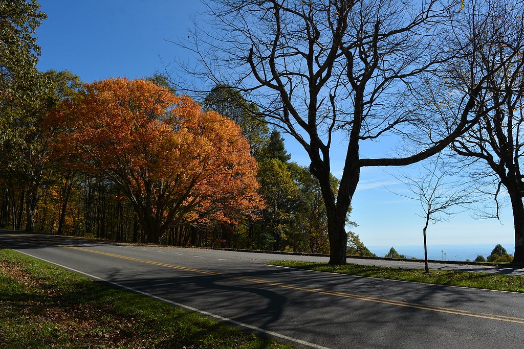
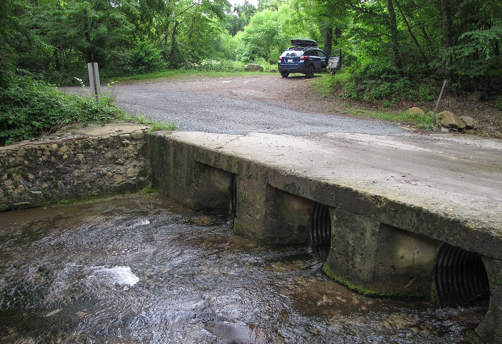
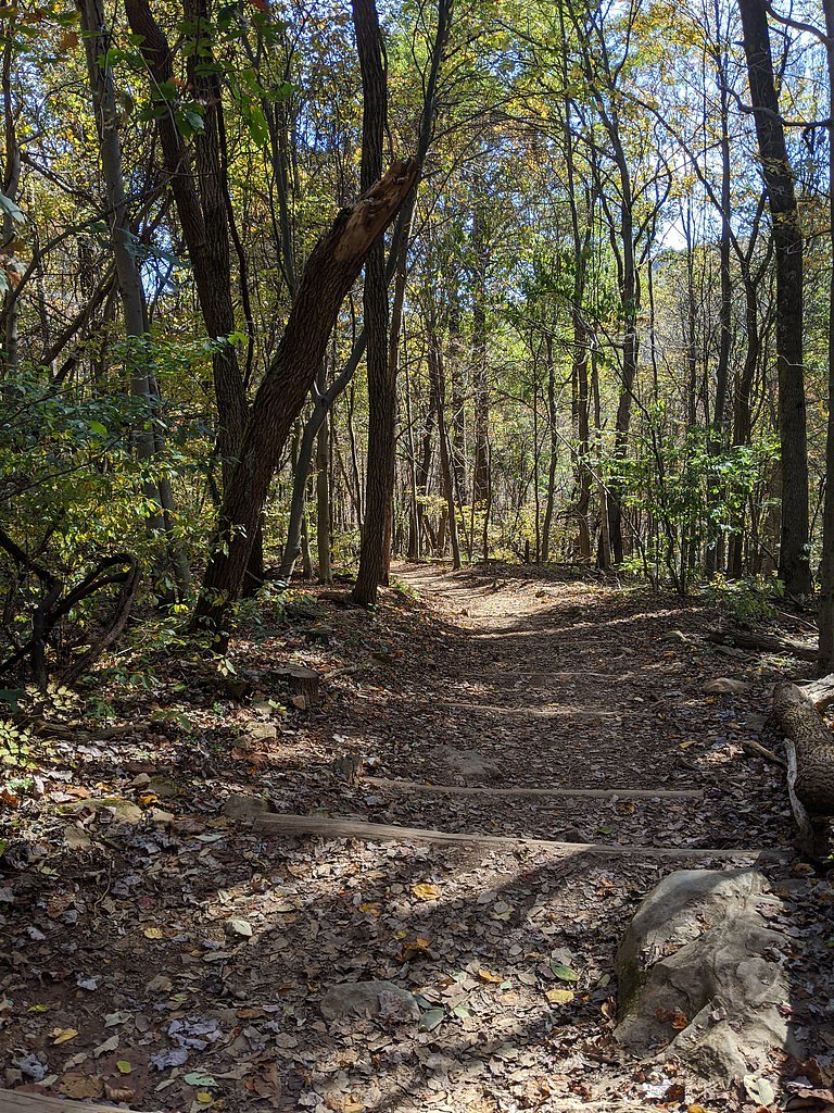
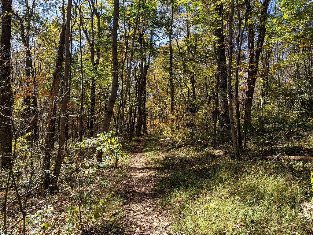

Photo Credits (5)
Difficulty
Moderate
Trail Length
4.8 miles
Trail Type
Loop
Elevation Gain
1,200 ft
About South River Falls
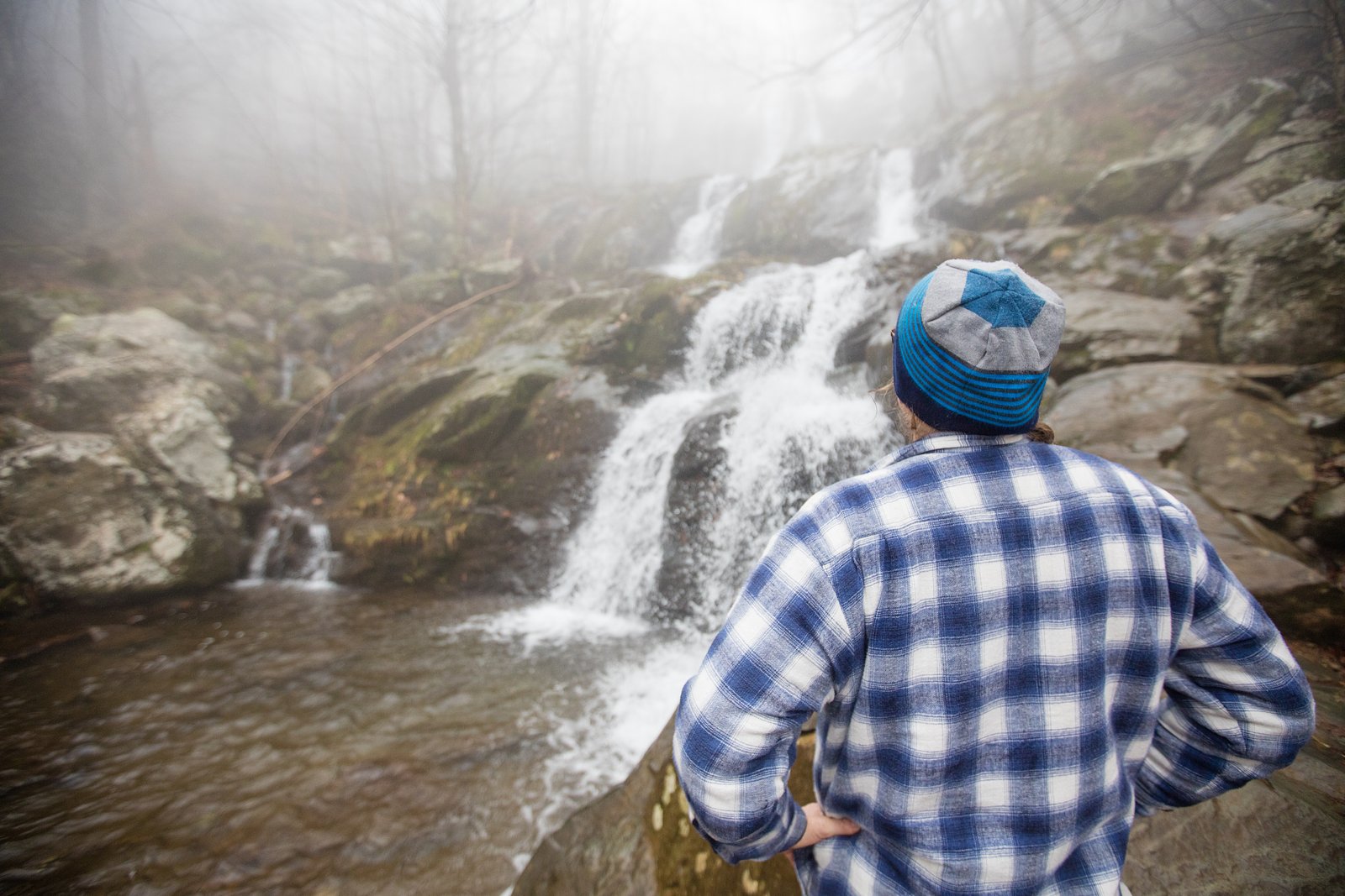
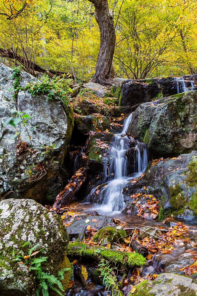
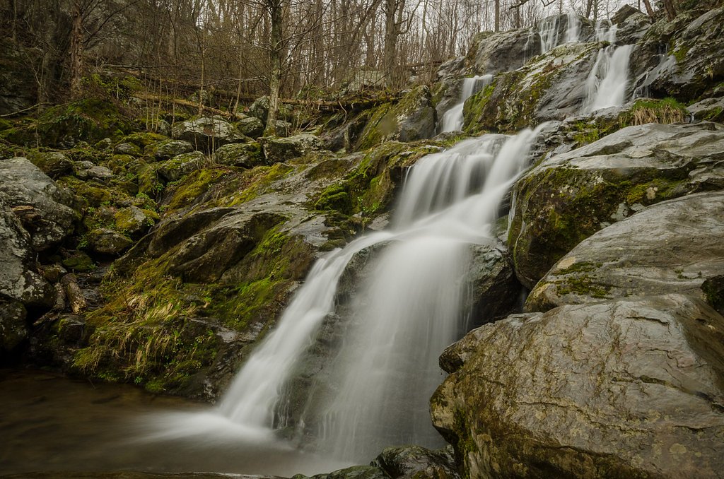
South River Falls is a picturesque waterfall located in Shenandoah National Park, Virginia. It is one of the tallest waterfalls in the park, cascading approximately 83 feet into a rocky gorge. The waterfall is surrounded by lush forest, making it a popular destination for hikers and nature enthusiasts.
The Setting
South River Falls sits at 2,129 feet within Shenandoah National Park, fed by the Rapidan River, in the hills of Virginia. The falls drop 83 feet.
Height: 83 feet
Nearby Falls Worth Visiting
Lewis Spring Falls (81 ft) lies 10.1 miles to the north. Also nearby: Dark Hollow Falls (70 ft, 10.5 mi).
Trail & Hike Details
The Approach
The moderate 4.8-mile loop trail gains 1,200 feet of elevation on the way to the falls.
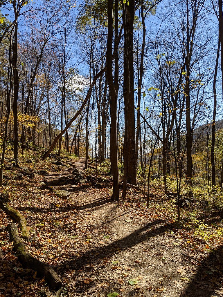
Trail Description
The trail to South River Falls begins at the South River Picnic Area and descends through a forested area with moderate elevation changes. Hikers can choose to view the falls from an overlook or continue down a steeper section of the trail to reach the base of the waterfall. The loop trail offers scenic views and opportunities to spot wildlife.
What to Expect
The falls cascade 83 feet. Dogs are welcome.
Accessibility
The trail involves steep, uneven terrain with significant elevation change and is not accessible to mobility devices.
Frequently Asked Questions
🐶 Are Dogs Allowed at South River Falls?
✅ Dogs are allowed
Are There Any Fees or Permits Required?
🤑 Fee: $30.00
🏊 Is There Swimming at South River Falls?
❌ Swimming is not allowed
When to Visit
Spring and early summer are ideal times to visit, as the waterfall flow is typically strongest after seasonal rains. Fall offers beautiful foliage, while winter provides a quieter experience with potential ice formations on the falls.
Seasonal Access
The best time to visit is Spring, Summer, and Fall. Winter access may be limited. Check with Shenandoah National Park for current conditions.
Safety Information
The trail includes steep sections, particularly near the base of the falls. Exercise caution, especially after rain, as the trail may be slippery. Always stay on marked trails and avoid climbing on rocks near the waterfall.
Current Water Conditions
31 ft³/s
Current discharge — how much water is flowing
Lower than usual for this time of year
Based on 80 years of record
1.65 ft
Water depth at gauge
7-Day Discharge Trend
What does this mean for your visit?
Flow is lower than usual for this time of year.
About This Gauge
This gauge is on a nearby waterway and may not reflect exact conditions at the falls.
7-Day Flow Outlook
Based on the USGS gauge RAPIDAN RIVER NEAR RUCKERSVILLE, VA (18 km away).
Today
Barely Flowing
29 cfs
4/10Tomorrow
Low
33 cfs
3/10Sun
Low
32 cfs
5/10Mon
Barely Flowing
31 cfs
5/10Tue
Barely Flowing
31 cfs
5/10Wed
Barely Flowing
28 cfs
5/10Thu
Low
32 cfs
3/10Best window: Sun — low flow, patchy fog (trip score 5/10).
Best time of year: this gauge typically runs highest from early March to early April, peaking in March.
How we calculate this
This is a transparent outlook, not a precise forecast. We take the waterfall's current flow strength (how it ranks against its historical normal for today, from the nearest USGS stream gauge), carry that ranking forward along the gauge's seasonal curve, and nudge it for forecast rain. Confidence is highest for the next day or two and falls further out. Always check official conditions and your own judgment before visiting — high flows can be dangerous.
Know when to go.
Get a free email alert when waterfalls near Elkton hit peak flow. We only send when conditions are worth the trip — no weekly newsletters, no spam.
Weather Forecast
Location & Access
Getting There
South River Falls is located in Shenandoah National Park, near the South River Picnic Area. The trailhead can be accessed from Skyline Drive at milepost 62.8.
Get Directions on Google MapsParking
Parking is available at the South River Picnic Area, which serves as the trailhead for the hike to the falls.
Elevation
2,129 feet above sea level
Coordinates
38.379572° N, -78.501122° W
Land Management
Managed by NPS
Visitor Tips & Gear
Start your hike early to avoid crowds, especially during peak seasons. Wear sturdy hiking shoes and bring plenty of water, as the trail includes significant elevation changes. Bug spray is recommended during warmer months.
As an Amazon Associate, we earn from qualifying purchases.
With 4.8 miles and 1,200 ft of elevation gain, sturdy boots and trekking poles will help on this moderate trail. Sun exposure on the trail makes good sun protection a must in summer.
America the Beautiful Annual Pass
Covers entrance fees at 2,000+ federal recreation sites — required at most National Parks.

Polarized Sunglasses (Knockaround)
Cuts glare off the water so you actually see the falls — and your photos turn out better too.

Columbia Watertight II Rain Jacket
Packs into its own pocket, seam-sealed, and keeps you dry from spray and surprise rain.

Earth Pak Waterproof Dry Bag
Keeps your phone and gear dry when waterfall mist soaks everything else.

Waterproof Phone Pouch (AiRunTech)
Cheap insurance — take photos right next to the falls without killing your phone.

Timberland Euro Sprint Mid Waterproof
Trusted waterproof boot with premium leather and grippy rubber sole — reliable on rocky, wet trails.

TrailBuddy Trekking Poles
Lightweight aluminum, cork grips, and flip-locks that actually hold — a best-seller for good reason.
Where to Stay

Chateau Merlot - Private Appalachian Cottage

Waterfront Cabin 20 Mins to National Park & Massanutten!

Shenandoah dog friendly cabin in the trees - River access, BBQ, propane fire pit, outdoor dining & lounging, wood fireplace, screened in front porch and gated back deck!

NEW! Shenandoah family & dog friendly cabin - 5 min walk river with private river access, BBQ, playground, fire pit
Browse vacation cabins and private rentals nearby
Unique outdoor stays — tents, yurts, and treehouses
Rent a campervan or RV for your waterfall road trip
Some links are affiliate links. We may earn a commission at no extra cost to you.
Nearby Campground
Lewis Mountain Campground
4.1 miles away · 32 sites
Overview This location is available on a first-come, first-served basis only. Visitors are required to physically arrive at the campground to purchase and claim a site. Once on-site, you can pay for your campsite(s) by scanning a QR code using the Recreation.gov mobile app . Download the free Recreation.gov mobile app on Android or iOS prior to your arrival as some remote areas have limited or no cellular service. Recreation Shenandoah National Park has over 500 miles of trails, including 101
Book on Recreation.govNearby Hot Springs
Hot springs near Elkton, Virginia
Looking for a soak after your hike? Explore more hot springs near Elkton, Virginia on SoakingSprings.
Explore Virginia springsAdditional Information
Nearby Attractions
Other attractions in Shenandoah National Park include Dark Hollow Falls, Hawksbill Mountain, and the scenic Skyline Drive.
Wildlife
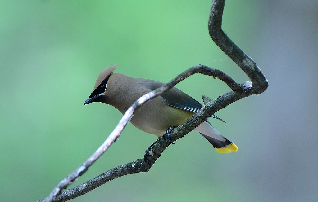
The area is home to a variety of wildlife, including deer, black bears, and numerous bird species. Always maintain a safe distance from wildlife.
Cities near South River Falls
Nearby Waterfalls
Writing about South River Falls? Embed this waterfall on your site for free.