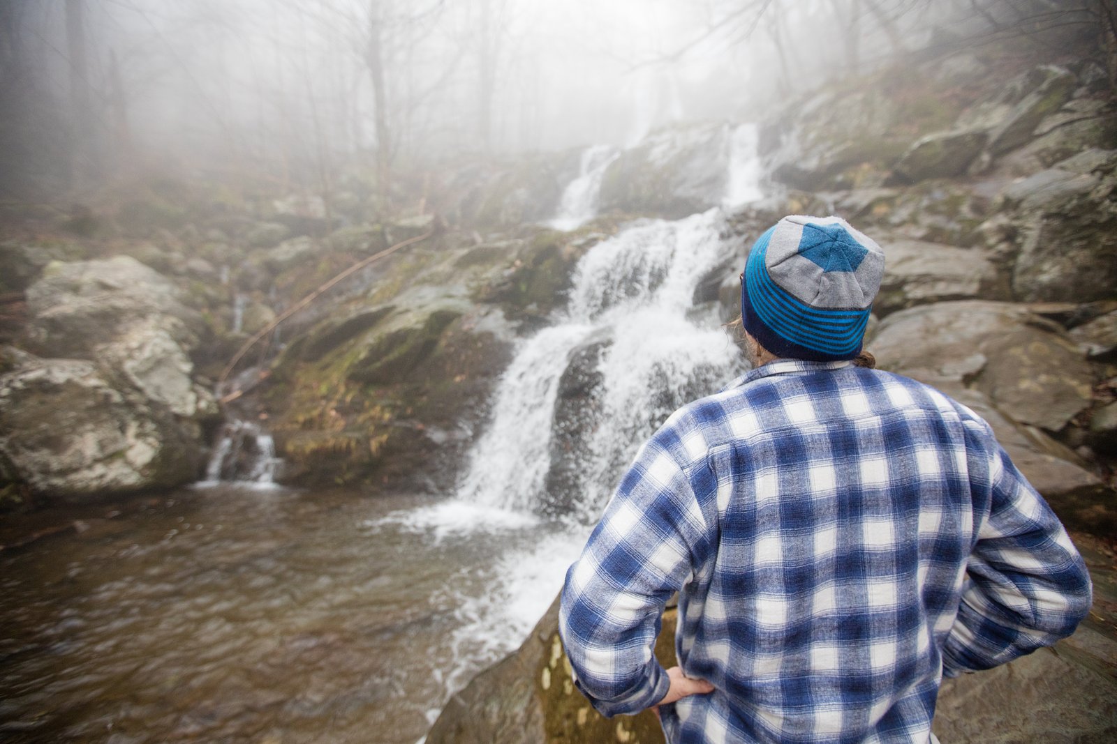
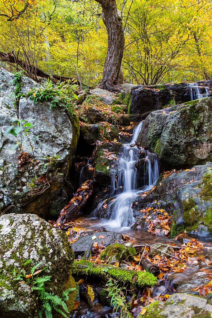
Dry Run Falls
Virginia • Shenandoah National Park
By Armen Suny · Last verified Jun 2026
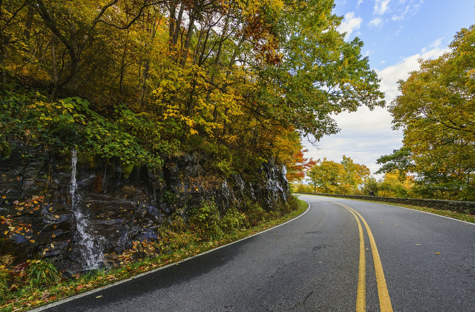
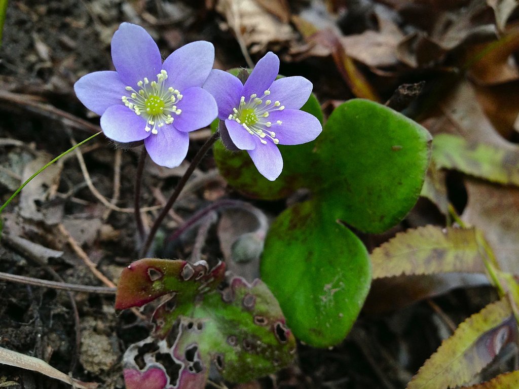
Photo Credits (5)
Difficulty
Moderate
Trail Length
2.4 miles
Trail Type
Out And Back
Elevation Gain
350 ft
About Dry Run Falls
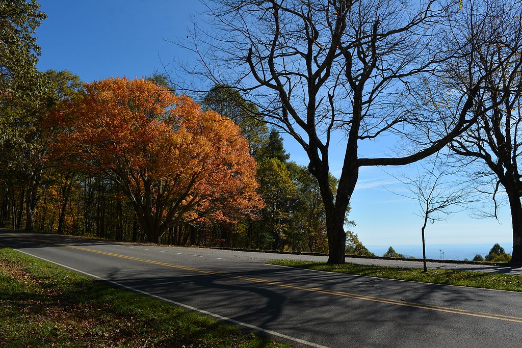
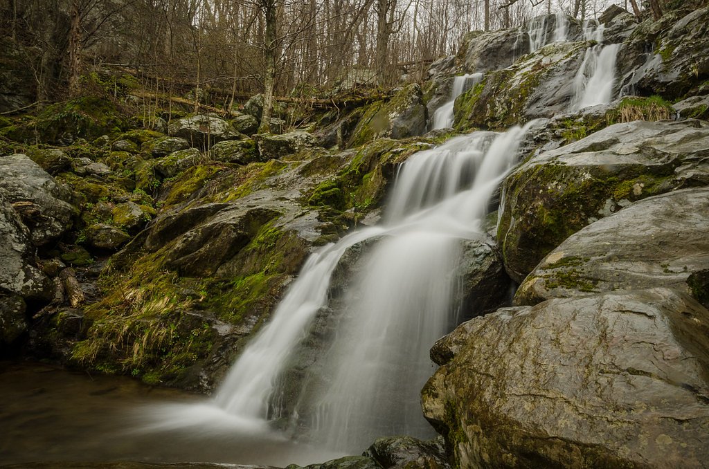
Dry Run Falls is a peaceful, small cascade tucked into Shenandoah National Park on lands managed by the National Park Service. Its modest drop is framed by shaded hardwood forest, making the falls a quiet spot to enjoy the sounds of flowing water without the crowds that larger landmarks can draw. The setting feels quintessentially Shenandoah — wooded, tranquil, and easy to appreciate on a half-day outing. Access to the falls is straightforward but rewarding: the trail is an out-and-back route of about 2.4 miles with roughly 350 feet of elevation gain and is rated moderate. Lewis Mountain Campground is the closest overnight option, about 5.96 km away, so Dry Run Falls works well as part of a multi-day park visit or a scenic day hike within Shenandoah National Park.
The Setting
Dry Run Falls sits at 2,365 feet within Shenandoah National Park, fed by the Rapidan River, in the hills of Virginia.
Nearby Falls Worth Visiting
South River Falls (83 ft) lies 2.0 miles to the southeast. Also nearby: Lewis Spring Falls (81 ft, 9.4 mi) and Dark Hollow Falls (70 ft, 10.0 mi).
Trail & Hike Details
The Approach
The moderate 2.4-mile out and back trail gains 350 feet of elevation on the way to the falls.
Trail Description
The hike to Dry Run Falls is an out-and-back of approximately 2.4 miles total with about 350 feet of cumulative elevation gain, classified as moderate. The route follows a defined forested footpath through hardwood woods and leads directly to the waterfall; expect roots and natural tread underfoot. After rain the trail can be muddy and slippery in places, so sturdy shoes with good traction are recommended. There are no USFS trail numbers for this NPS-managed route; the nearest campground is Lewis Mountain Campground, roughly 5.96 km away for those camping in Shenandoah National Park.
What to Expect
Dogs are welcome.
Accessibility
The trail is not wheelchair accessible. Uneven terrain and elevation changes require steady footing.
Frequently Asked Questions
🐶 Are Dogs Allowed at Dry Run Falls?
✅ Dogs are allowed
Are There Any Fees or Permits Required?
🆖 No fees required
🏊 Is There Swimming at Dry Run Falls?
❌ Swimming is not allowed
When to Visit
Spring and early summer are ideal for visiting, as the water flow is typically strongest during these seasons.
Seasonal Access
The best time to visit is Spring, Summer, Fall, and Winter. Check with Shenandoah National Park for current conditions.
Safety Information
Be cautious of slippery rocks near the waterfall. Check weather conditions before visiting, as heavy rain can make the trail and roads hazardous.
Current Water Conditions
88 ft³/s
Current discharge — how much water is flowing
About average for this time of year
Based on 80 years of record
2.00 ft
Water depth at gauge
7-Day Discharge Trend
What does this mean for your visit?
Flow is about average for this time of year.
About This Gauge
This gauge is on a nearby waterway and may not reflect exact conditions at the falls.
7-Day Flow Outlook
Based on the USGS gauge RAPIDAN RIVER NEAR RUCKERSVILLE, VA (21 km away).
Today
Roaring
88 cfs
9/10Tomorrow
Roaring
83 cfs
9/10Fri
Roaring
90 cfs
6/10Sat
Roaring
95 cfs
6/10Sun
Roaring
98 cfs
6/10Mon
Roaring
100 cfs
6/10Tue
Roaring
103 cfs
6/10Best window: Today — roaring flow, sunny (trip score 9/10).
Best time of year: this gauge typically runs highest from early March to early April, peaking in March.
How we calculate this
This is a transparent outlook, not a precise forecast. We take the waterfall's current flow strength (how it ranks against its historical normal for today, from the nearest USGS stream gauge), carry that ranking forward along the gauge's seasonal curve, and nudge it for forecast rain. Confidence is highest for the next day or two and falls further out. Always check official conditions and your own judgment before visiting — high flows can be dangerous.
Know when to go.
Get a free email alert when waterfalls near Elkton hit peak flow. We only send when conditions are worth the trip — no weekly newsletters, no spam.
Weather Forecast
Location & Access
Getting There
Dry Run Falls is located in the George Washington and Jefferson National Forests in Virginia. Access is typically via forest roads, which may require a high-clearance vehicle depending on conditions. Visitors should check local forest service updates for road conditions.
Get Directions on Google MapsParking
There is a small parking area near the trailhead, but availability may be limited. Visitors should plan to arrive early, especially during peak seasons.
Hours
Elevation
2,365 feet above sea level
Coordinates
38.398738° N, -78.527789° W
Land Management
Managed by NPS
Visitor Tips & Gear
Visit after a period of rain for the best water flow. Bring sturdy shoes, as the trail can be muddy. Arrive early to secure parking, and check road conditions before heading out.
As an Amazon Associate, we earn from qualifying purchases.
With 2.4 miles and 350 ft of elevation gain, sturdy boots and trekking poles will help on this moderate trail. Icy conditions are common in winter — traction cleats are a smart addition.
America the Beautiful Annual Pass
Covers entrance fees at 2,000+ federal recreation sites — required at most National Parks.

Columbia Watertight II Rain Jacket
Packs into its own pocket, seam-sealed, and keeps you dry from spray and surprise rain.

Polarized Sunglasses (Knockaround)
Cuts glare off the water so you actually see the falls — and your photos turn out better too.

Earth Pak Waterproof Dry Bag
Keeps your phone and gear dry when waterfall mist soaks everything else.

Waterproof Phone Pouch (AiRunTech)
Cheap insurance — take photos right next to the falls without killing your phone.

Timberland Euro Sprint Mid Waterproof
Trusted waterproof boot with premium leather and grippy rubber sole — reliable on rocky, wet trails.

TrailBuddy Trekking Poles
Lightweight aluminum, cork grips, and flip-locks that actually hold — a best-seller for good reason.
Where to Stay

Chateau Merlot - Private Appalachian Cottage

Waterfront Cabin 20 Mins to National Park & Massanutten!

Shenandoah dog friendly cabin in the trees - River access, BBQ, propane fire pit, outdoor dining & lounging, wood fireplace, screened in front porch and gated back deck!

NEW! Shenandoah family & dog friendly cabin - 5 min walk river with private river access, BBQ, playground, fire pit
Browse vacation cabins and private rentals nearby
Unique outdoor stays — tents, yurts, and treehouses
Rent a campervan or RV for your waterfall road trip
Some links are affiliate links. We may earn a commission at no extra cost to you.
Nearby Campground
Lewis Mountain Campground
3.7 miles away · 32 sites
Overview This location is available on a first-come, first-served basis only. Visitors are required to physically arrive at the campground to purchase and claim a site. Once on-site, you can pay for your campsite(s) by scanning a QR code using the Recreation.gov mobile app . Download the free Recreation.gov mobile app on Android or iOS prior to your arrival as some remote areas have limited or no cellular service. Recreation Shenandoah National Park has over 500 miles of trails, including 101
Book on Recreation.govNearby Hot Springs
Hot springs near Elkton, Virginia
Looking for a soak after your hike? Explore more hot springs near Elkton, Virginia on SoakingSprings.
Explore Virginia springsAdditional Information
Nearby Attractions
Other attractions in the George Washington and Jefferson National Forests include hiking trails, scenic overlooks, and additional waterfalls.
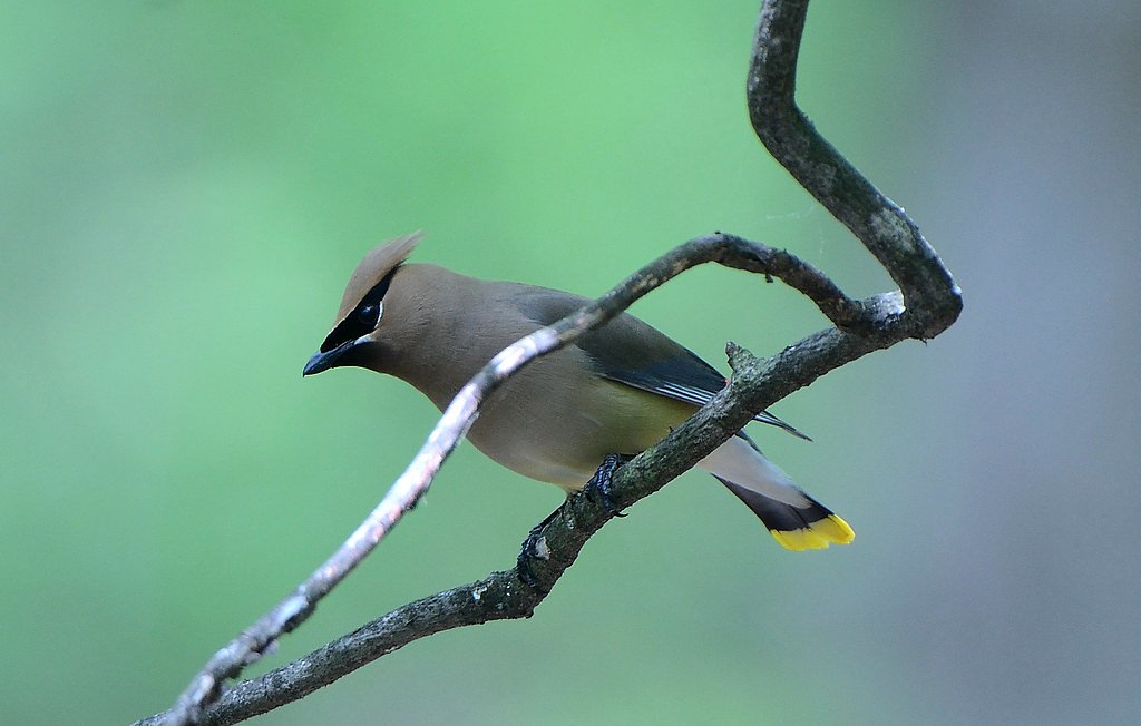
Wildlife
The area is home to a variety of wildlife, including deer, birds, and small mammals. Visitors should be cautious of ticks and other insects.
Cities near Dry Run Falls
Nearby Waterfalls
Other waterfalls named Dry Run Falls
1 other waterfall shares this name across the U.S.
Writing about Dry Run Falls? Embed this waterfall on your site for free.