
Photo Credits (5)
Difficulty
Moderate
Trail Length
2.4 miles
Trail Type
Out And Back
Elevation Gain
350 ft
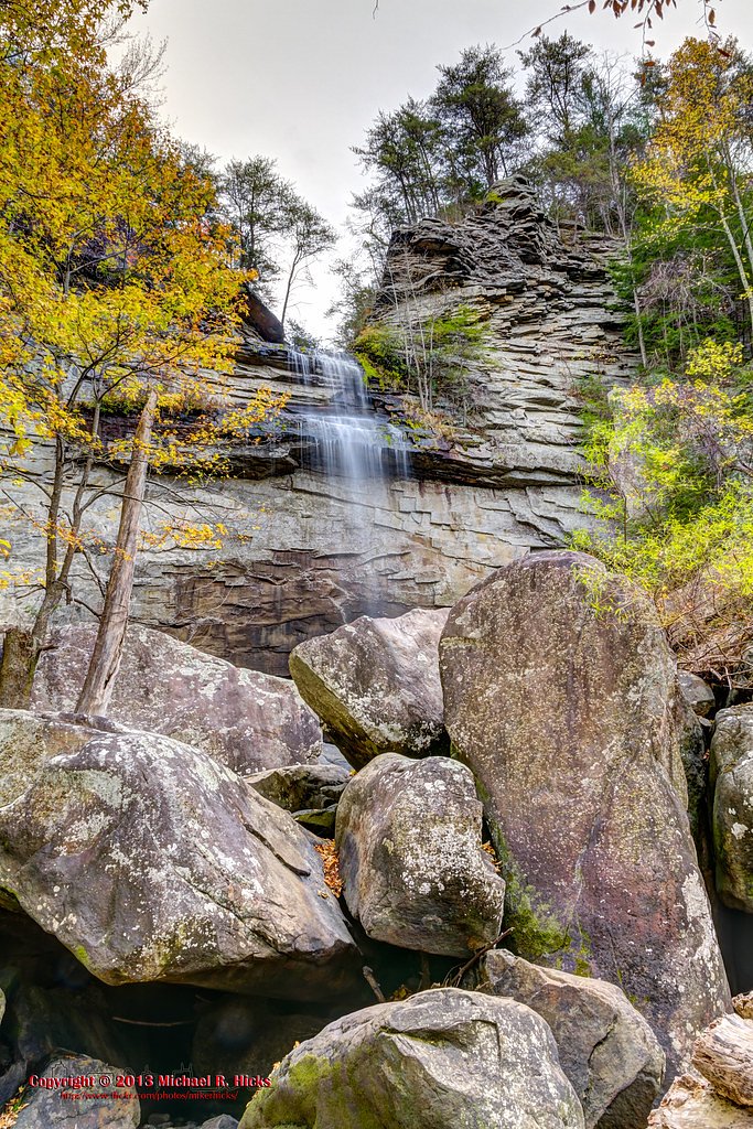
About Snow Falls
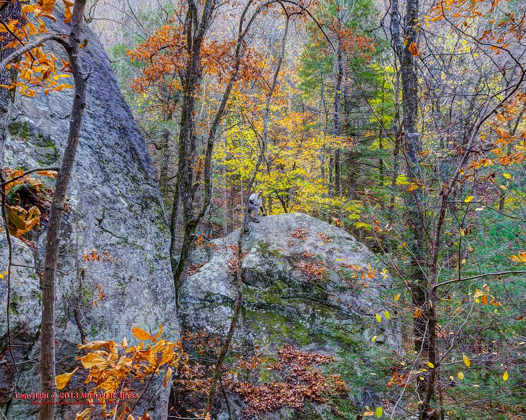
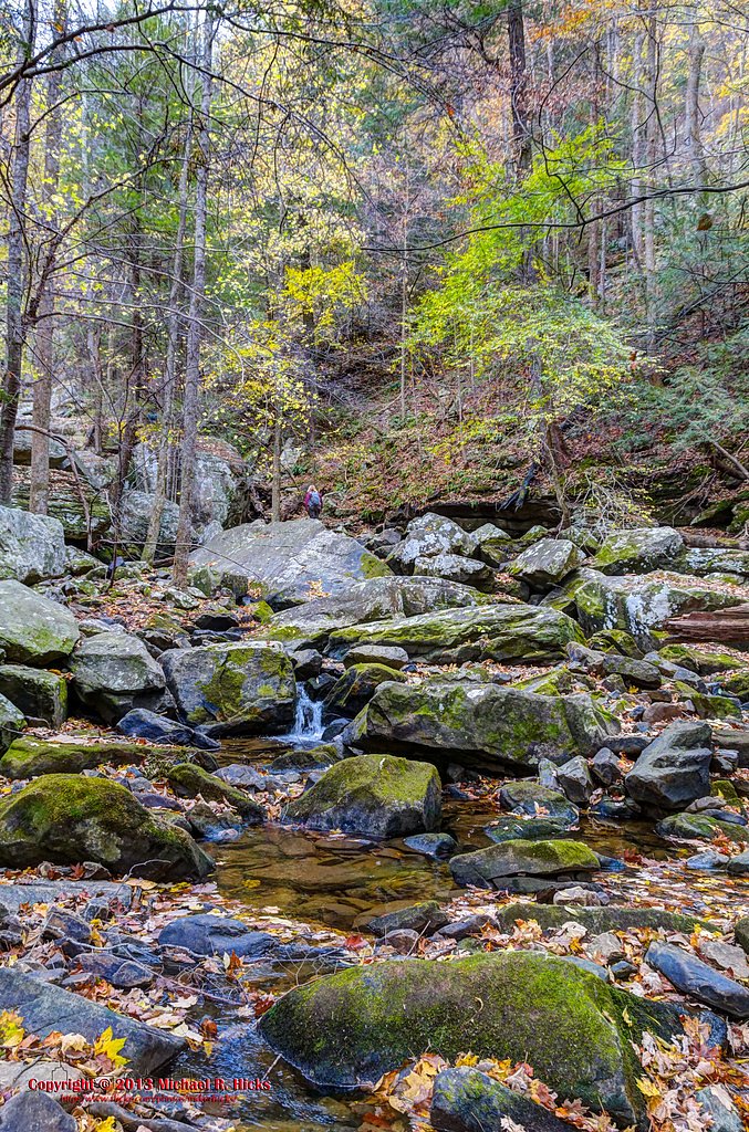
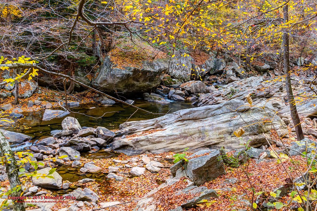
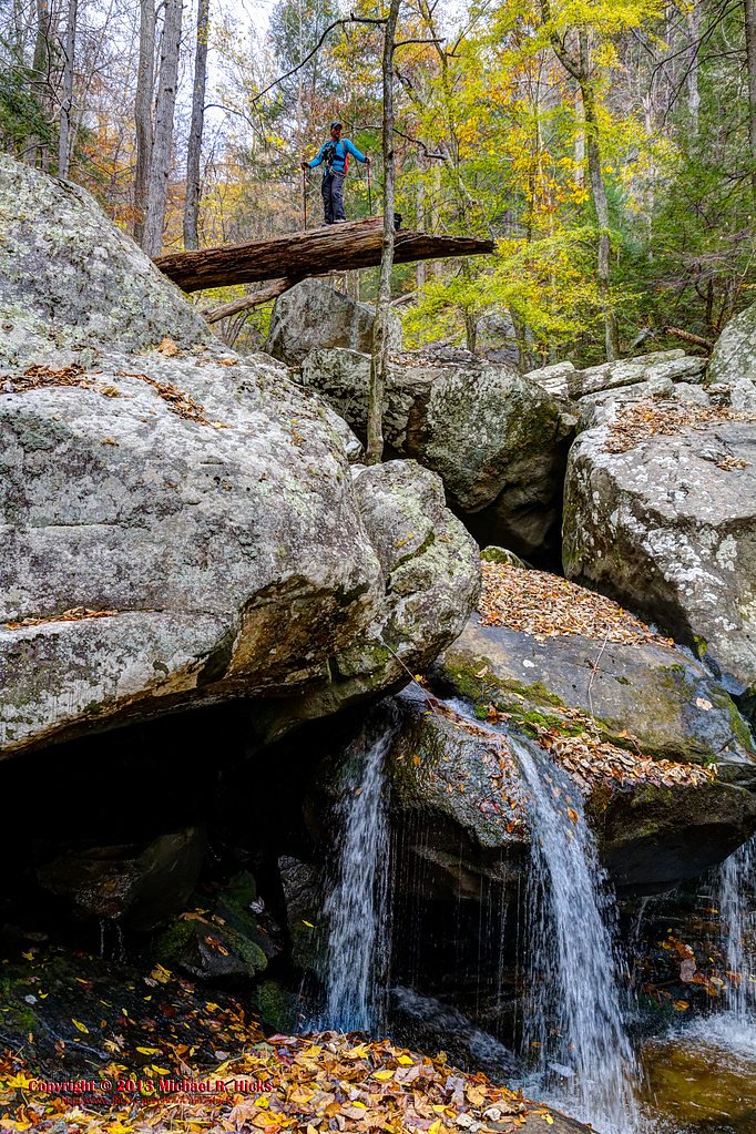
Snow Falls tumbles through the sandstone cliffs of Tennessee’s Cumberland Plateau, set within the Laurel Snow Pocket Designated State Natural Area (commonly called Laurel-Snow). The area’s mix of rugged rock outcrops and lush forest makes the falls a favorite for photographers and day-hikers seeking a classic plateau cascade. The natural area is designated SCA and is managed by SPR, which helps protect the site’s quiet, wooded character and trail access. Plan for a moderately paced outing—Snow Falls and the surrounding Laurel-Snow pockets offer a compact but rewarding taste of the Plateau’s scenery. The setting feels remote despite being a popular destination for nature enthusiasts, with shaded river corridors and rocky viewpoints that invite lingering and exploration.
The Setting
Snow Falls sits at 1,686 feet within Laurel Snow Pocket Designated State Natural Area, in the hills of Tennessee.
Trail & Hike Details
The Approach
The moderate 2.4-mile out-and-back trail gains 350 feet of elevation on the way to the falls.
Trail Description
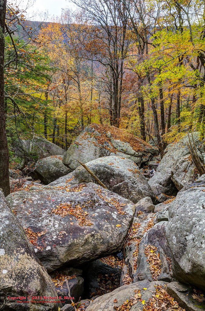
Trail: 2.4 miles round trip (out-and-back) with approximately 350 feet of elevation gain. Difficulty: Moderate. The route follows well-used footpaths through dense forest and over rocky terrain; expect uneven footing and some steep approaches as you near the falls. The trail is an out-and-back type and is suitable for most hikers in reasonably good condition. (No USFS trail number/class/surface data was provided.)
What to Expect
Dogs are welcome.
Accessibility
The trail is not wheelchair accessible. Uneven terrain and elevation changes require steady footing.
Frequently Asked Questions
🐶 Are Dogs Allowed at Snow Falls?
✅ Dogs are allowed
Are There Any Fees or Permits Required?
🆖 No fees required
🏊 Is There Swimming at Snow Falls?
❌ Swimming is not allowed
When to Visit
Spring and fall are the best times to visit Snow Falls, as the weather is mild and the waterfall flow is typically stronger. Summer is also popular but can be hot and humid.
Seasonal Access
The best time to visit is Spring, Summer, and Fall. Winter access may be limited.
Safety Information
The trail can be slippery, especially after rain. Watch for loose rocks and steep drop-offs. Always stay on marked trails and carry a map or GPS device. Cell phone service may be limited in the area.
Know when to go.
Get a free email alert when waterfalls near Dayton hit peak flow. We only send when conditions are worth the trip — no weekly newsletters, no spam.
Weather Forecast
Location & Access
Getting There
Snow Falls is accessed via the Laurel-Snow Trail, which begins at the Laurel-Snow State Natural Area parking lot near Dayton, Tennessee. The trailhead is located off Back Valley Road.
Get Directions on Google MapsParking
There is a designated parking area at the trailhead for the Laurel-Snow State Natural Area. Parking is free but may be limited during peak seasons.
Elevation
1,686 feet above sea level
Coordinates
35.546594° N, -85.038657° W
Land Management
Managed by SPR
Visitor Tips & Gear
Wear sturdy hiking boots and bring plenty of water, as the trail is long and challenging. Start early to allow enough time to complete the hike before dusk. Be cautious on rocky sections and near the waterfall, as the terrain can be slippery.
As an Amazon Associate, we earn from qualifying purchases.
With 2.4 miles and 350 ft of elevation gain, sturdy boots and trekking poles will help on this moderate trail. Sun exposure on the trail makes good sun protection a must in summer.

Polarized Sunglasses (Knockaround)
Cuts glare off the water so you actually see the falls — and your photos turn out better too.

Columbia Watertight II Rain Jacket
Packs into its own pocket, seam-sealed, and keeps you dry from spray and surprise rain.

Earth Pak Waterproof Dry Bag
Keeps your phone and gear dry when waterfall mist soaks everything else.

Waterproof Phone Pouch (AiRunTech)
Cheap insurance — take photos right next to the falls without killing your phone.

Timberland Euro Sprint Mid Waterproof
Trusted waterproof boot with premium leather and grippy rubber sole — reliable on rocky, wet trails.

TrailBuddy Trekking Poles
Lightweight aluminum, cork grips, and flip-locks that actually hold — a best-seller for good reason.
Where to Stay

Sleep Inn & Suites Dayton South

Econo Lodge Dayton North

Best Western Dayton

Comfort Inn Dayton South
Browse vacation cabins and private rentals nearby
Unique outdoor stays — tents, yurts, and treehouses
Rent a campervan or RV for your waterfall road trip
Some links are affiliate links. We may earn a commission at no extra cost to you.
Additional Information
Nearby Attractions
Laurel Falls, Buzzard Point, and the Cumberland Trail are nearby attractions within the Laurel-Snow State Natural Area.
Wildlife
The area is home to a variety of wildlife, including deer, birds, and small mammals. Be cautious of snakes, especially during warmer months.
Cities near Snow Falls
Nearby Waterfalls
Writing about Snow Falls? Embed this waterfall on your site for free.