Akaiyan Falls
Montana • Glacier National Park
By Armen Suny · Last verified Sep 2026
LiDAR & 3D terrain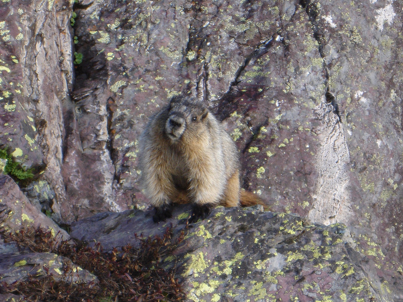
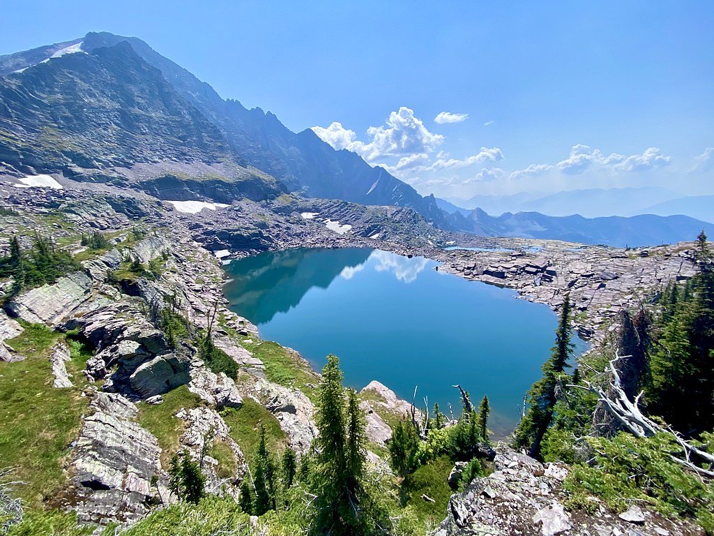
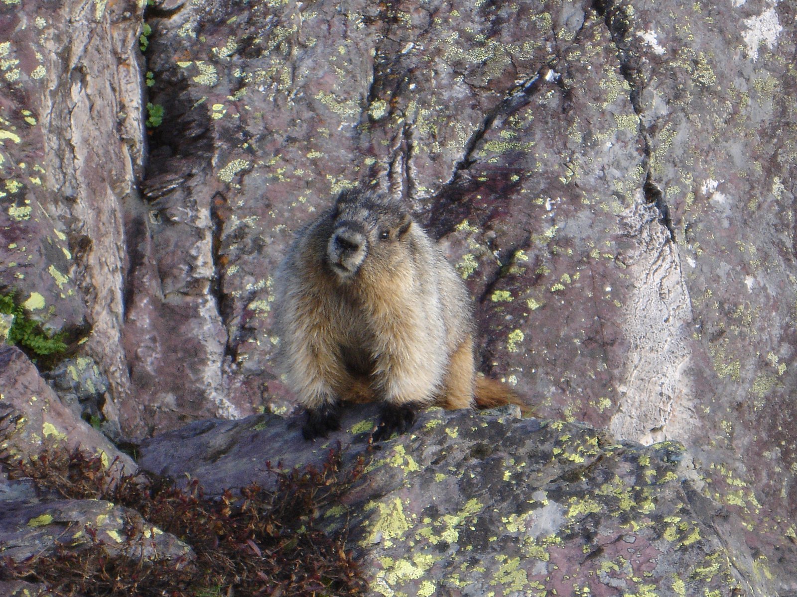

Photo Credits (4)
Difficulty
Easy
Trail Length
0.5 miles
Trail Type
Out And Back
About Akaiyan Falls
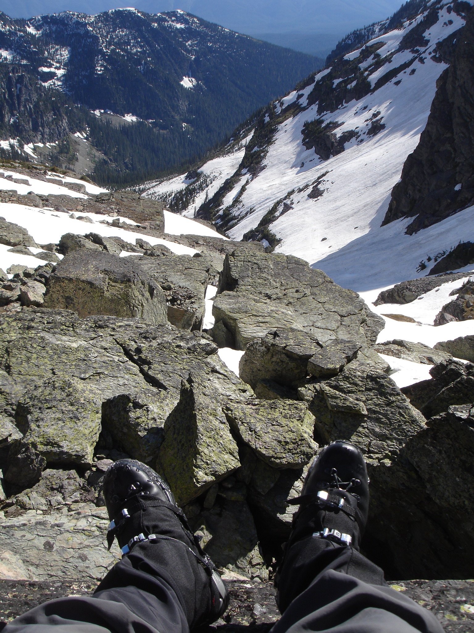
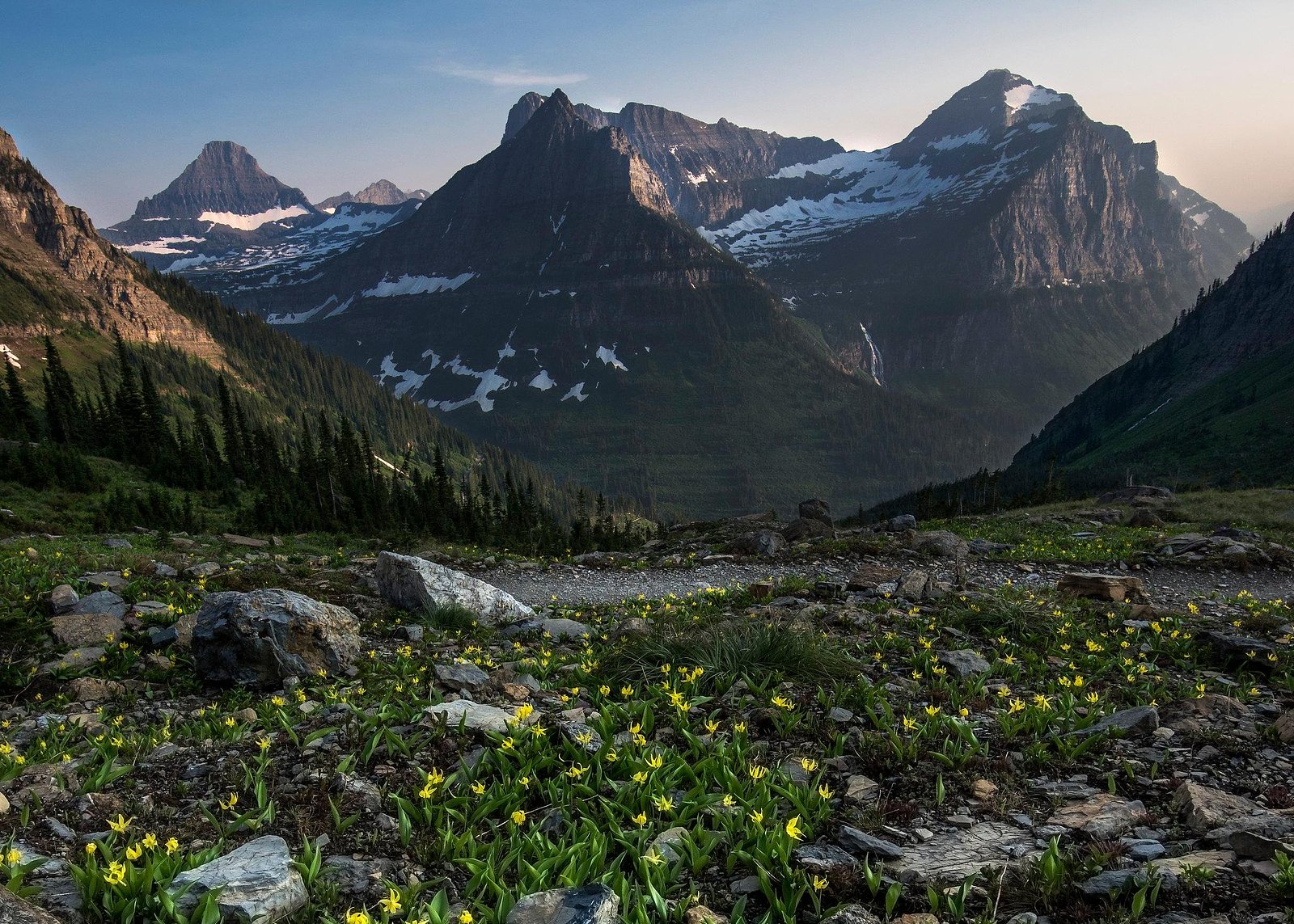
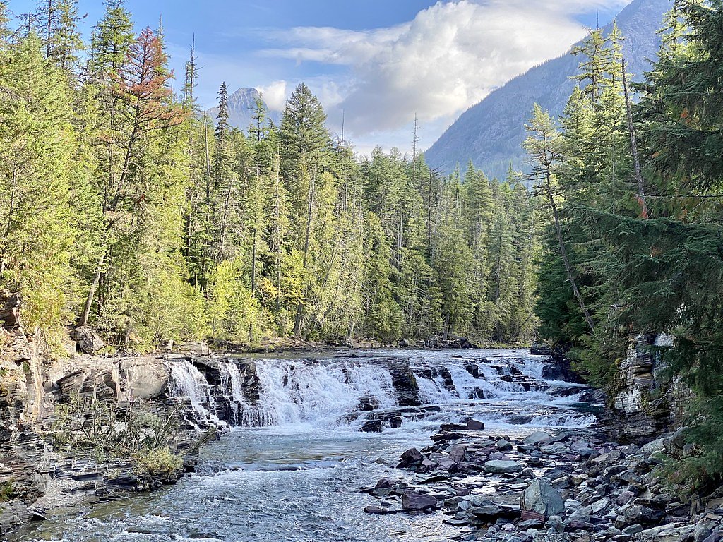
Akaiyan Falls is an ephemeral cascade tucked into the high alpine bowls of Glacier National Park in Montana. The falls drop in a series of steps — the tallest single drop measures about 280 feet (85 m) — and are at their most dramatic during spring snowmelt and after heavy rains. Framed by steep, glacially carved relief and sparse alpine vegetation, the setting feels quintessentially Glacier: remote, rugged, and vividly seasonal. Access to the falls is via the Sperry Trail inside Glacier National Park, a unit managed by the National Park Service. Because Akaiyan is fed largely by snowmelt, plan your visit for the spring runoff or other wet periods for the best flow, and check current Glacier National Park trail advisories before you go. The approach gives hikers a memorable Glacier backcountry taste without requiring a multi-day commitment, but expect classic mountain conditions and variable water volume along the way.
The Setting
Akaiyan Falls sits at 6,985 feet within Glacier National Park, fed by the M F Flathead River, in the high mountains of Montana.
Trail & Hike Details
Trail Description
The approach to Akaiyan Falls follows the Sperry Trail as an out-and-back route of roughly 2.4 miles with about 350 feet of cumulative elevation gain and is generally rated moderate. The tread is a maintained National Park Service footpath with moderate uphill sections that account for most of the elevation change; expect rocky trail surface, occasional root exposure, and seasonal mud or lingering snow patches. Because the falls are ephemeral and driven by snowmelt, time your trip for spring runoff or wet periods for the best display, and consult current Glacier National Park trail conditions and advisories before heading out.
What to Expect
Dogs are welcome.
Accessibility
The trail is short and relatively flat, but the surface may be uneven. Contact the managing agency for accessibility details.
Frequently Asked Questions
🐶 Are Dogs Allowed at Akaiyan Falls?
✅ Dogs are allowed
Are There Any Fees or Permits Required?
🆖 No fees required
🏊 Is There Swimming at Akaiyan Falls?
❌ Swimming is not allowed
When to Visit
Spring and early summer are the best times to visit, as the waterfall is typically at its fullest due to snowmelt. Fall offers beautiful foliage, while summer provides warm weather for a pleasant hike.
Seasonal Access
The best time to visit is Spring, Summer, and Fall. Access roads and trails may close during winter due to snow. Check with Glacier National Park for current conditions.
Safety Information
Be cautious of slippery rocks near the waterfall. Always stay on the designated trail to avoid accidents. Carry bear spray and be aware of wildlife in the area.
Current Water Conditions
772 ft³/s
Current discharge — how much water is flowing
About average for this time of year
Based on 85 years of record
2.06 ft
Water depth at gauge
7-Day Discharge Trend
What does this mean for your visit?
Flow is about average for this time of year.
About This Gauge
This gauge is on a nearby waterway and may not reflect exact conditions at the falls.
7-Day Flow Outlook
Based on the USGS gauge M F Flathead River near West Glacier MT (21 km away).
Today
Barely Flowing
772 cfs
4/10Tomorrow
Barely Flowing
834 cfs
3/10Thu
Barely Flowing
823 cfs
5/10Fri
Barely Flowing
861 cfs
3/10Sat
Barely Flowing
837 cfs
5/10Sun
Barely Flowing
794 cfs
5/10Mon
Barely Flowing
790 cfs
5/10Best window: Thu — barely flowing flow, partly sunny (trip score 5/10).
Best time of year: this gauge typically runs highest from mid April to mid July, peaking in June.
How we calculate this
This is a transparent outlook, not a precise forecast. We take the waterfall's current flow strength (how it ranks against its historical normal for today, from the nearest USGS stream gauge), carry that ranking forward along the gauge's seasonal curve, and nudge it for forecast rain. Confidence is highest for the next day or two and falls further out. Always check official conditions and your own judgment before visiting — high flows can be dangerous.
Know when to go.
Get a free email alert when waterfalls near West Glacier hit peak flow. We only send when conditions are worth the trip — no weekly newsletters, no spam.
Weather Forecast
The Terrain, Seen by LiDAR
Aircraft-mounted lasers measured this ground to within inches. Trees and buildings are digitally stripped away, leaving the bare shape of the land the water has carved.
The ground through the falls loses about 261 feet in steep steps rather than one leap. The ground at the falls is roughly 6,969 feet above sea level.
The whole reach is steep: about 327 feet of descent in the 500 feet above the falls and another 302 feet in the 500 feet below. The falls face southwest and sit in full sun for most of the day, best photographed early or late.
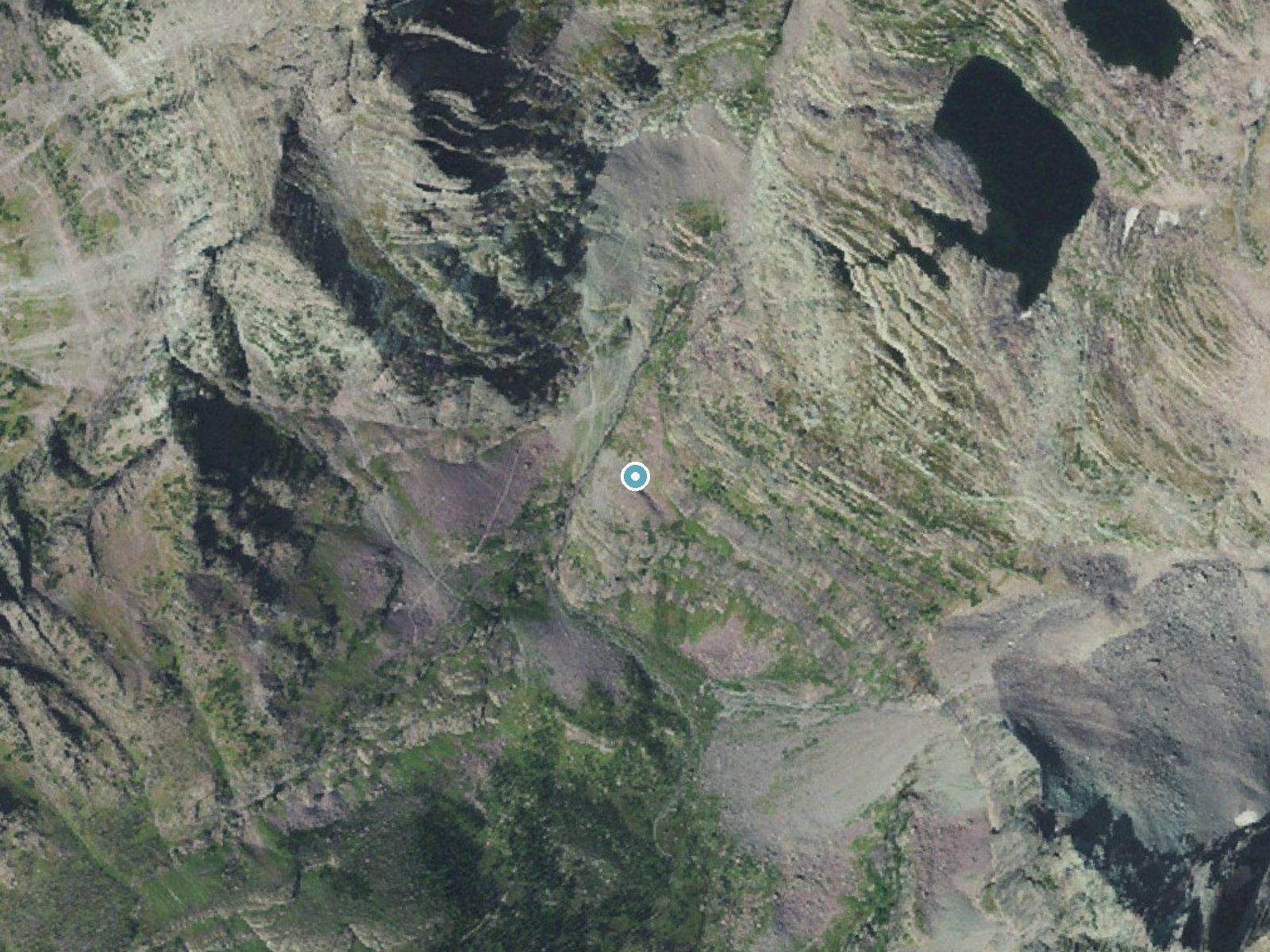
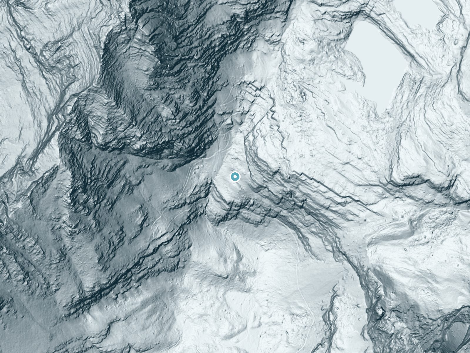
Drag to compare. The dot marks the waterfall. The frame is about a mile across.
- Ground elevation
- 6,969 feet
- Measured by 1-meter lidar
- Drop at the falls
- About 261 feet
- Change in ground height within ~250 feet of the falls
- Faces
- Southwest
- Sunlit most of the day. Go early or late for softer light.
A slice through the lidar ground surface, from above the falls to downstream (heading southwest).
Elevation data: USGS 3D Elevation Program. Aerial imagery: USGS The National Map. Public domain.
Location & Access
Getting There
Akaiyan Falls is located off U.S. Highway 2, near Columbia Falls, Montana. Visitors can access the falls by following a short trail from a nearby parking area. Exact directions may vary, so it is recommended to consult local maps or GPS for precise navigation.
Get Directions on Google MapsParking
There is a small parking area near the trailhead, but availability may be limited during peak seasons.
Elevation
6,985 feet above sea level
Coordinates
48.614138° N, -113.784838° W
Visitor Tips & Gear
Wear sturdy shoes, as the trail can be uneven or slippery in places. Bring insect repellent during the summer months, as mosquitoes may be present. Arrive early during peak seasons to secure parking.
This trail sits at 6,985 ft above sea level
Elevated TrailUV radiation is roughly 28% stronger at this elevation than at sea level, and the dry air accelerates dehydration. Extra sun protection and fluids go a long way.
As an Amazon Associate, we earn from qualifying purchases.

Coppertone Sport SPF 50 Sunscreen
UV intensity jumps ~4% per 1,000 ft — at this elevation you can burn in half the time.

Sun Bum SPF 30 Lip Balm (3-Pack)
Lips have almost no natural UV protection and burn fast in thin, dry mountain air.

Liquid I.V. Electrolyte Packets
You lose moisture ~2x faster at elevation — electrolytes help you absorb water efficiently.

ROCKNIGHT Polarized UV400 Sunglasses
High-altitude glare off rock and water is intense — UV400 lenses block 99%+ of UVA/UVB.
Where to Stay
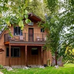
West Glacier Heart Rock River Retreat
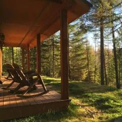
The Ridge At Glacier - Luxury Cabins
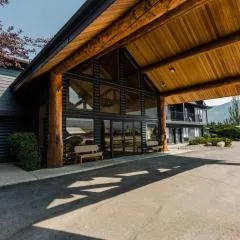
Wonderstone at Glacier
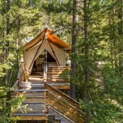
Under Canvas Glacier
Browse vacation cabins and private rentals nearby
Unique outdoor stays — tents, yurts, and treehouses
Rent a campervan or RV for your waterfall road trip
Some links are affiliate links. We may earn a commission at no extra cost to you.
Nearby Campground
Apgar Campground
11 miles away · 211 sites
Overview Apgar campground is the largest campground in the park. It is situated in trees and provides tent and RV campers with shade and some privacy. Evening sunsets on Lake McDonald are only a short stroll, and you won't want to miss evening programs with a ranger at the Apgar Amphitheater. Many trails are located within a short drive of the campground. Five Group Sites are reservable in advance.All sites require a reservation. Most sites have a 6-month booking window with a good handful having
Book on Recreation.govAdditional Information
Nearby Attractions
Nearby attractions include Glacier National Park, Flathead Lake, and the town of Whitefish, which offers dining and shopping options.
Wildlife
The area is home to a variety of wildlife, including deer, birds, and occasionally bears. Visitors should exercise caution and carry bear spray if hiking in the region.
Cities near Akaiyan Falls
Nearby Waterfalls

Writing about Akaiyan Falls? Embed this waterfall on your site for free.