Photo Credits (2)
Difficulty
Moderate
Trail Length
2.4 miles
Trail Type
Out And Back
Elevation Gain
350 ft
About Saganaga Falls
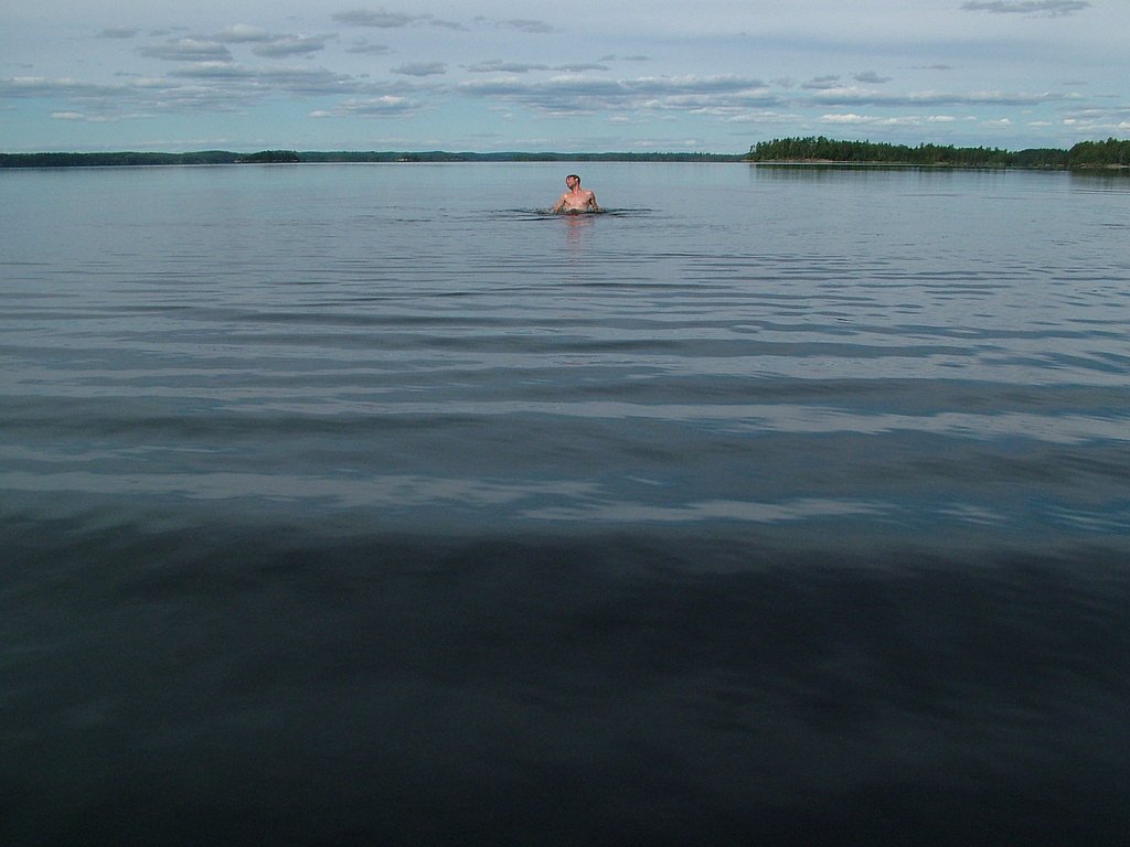
Saganaga Falls is a scenic waterfall located along the US-Canada border in northeastern Minnesota, near the Boundary Waters Canoe Area Wilderness (BWCAW). The falls are part of the Saganaga Lake and Seagull River system, offering a remote and serene experience for visitors. The area is known for its pristine wilderness and is popular among canoeists and outdoor enthusiasts.
The Setting
Saganaga Falls sits at 1,434 feet within Boundary Waters Canoe Area Wilderness, in the foothills of Minnesota.
Trail & Hike Details
The Approach
The moderate 2.4-mile out-and-back trail gains 350 feet of elevation on the way to the falls.
Trail Description
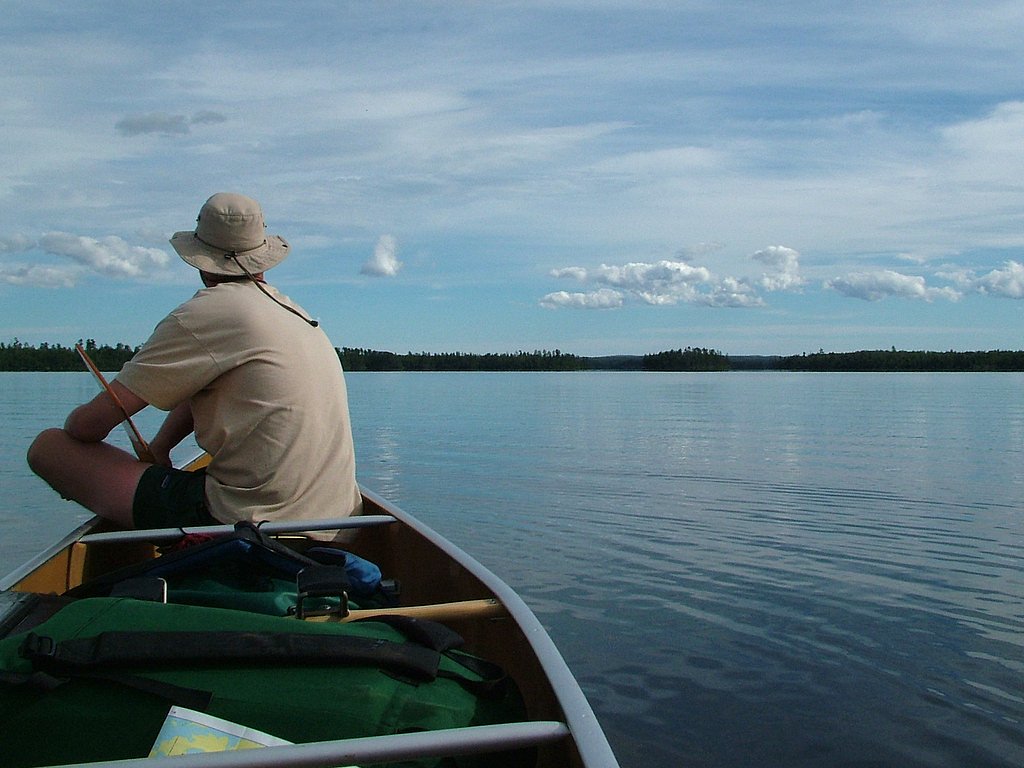
There is no formal hiking trail to Saganaga Falls. Access is typically by canoe or boat through the Boundary Waters Canoe Area Wilderness. Visitors should be prepared for paddling and portaging in a remote wilderness setting.
What to Expect
Visitors can expect a peaceful and remote wilderness experience with the sound of cascading water and beautiful natural surroundings. The falls are relatively small but picturesque, and the area is rich in wildlife and natural beauty.
Accessibility
The trail is not wheelchair accessible. Uneven terrain and elevation changes require steady footing.
Frequently Asked Questions
🐶 Are Dogs Allowed at Saganaga Falls?
❌ Dogs are not allowed
Are There Any Fees or Permits Required?
🤑 Fee: $0.00
Permit required
A permit is required to enter the Boundary Waters Canoe Area Wilderness. Permits can be obtained through the U.S. Forest Service or authorized outfitters.
🏊 Is There Swimming at Saganaga Falls?
❌ Swimming is not allowed
When to Visit
The best time to visit is late spring through early fall when the weather is mild, and the waterways are free of ice. Summer is particularly popular for canoeing and exploring the Boundary Waters.
Seasonal Access
The best time to visit is Spring, Summer, and Fall. Winter access may be limited.
Safety Information
Visitors should be prepared for wilderness conditions, including potential encounters with wildlife, changing weather, and the need for navigation skills. Always wear a life jacket when on the water and carry a first aid kit.
Know when to go.
Get a free email alert when waterfalls near Lutsen hit peak flow. We only send when conditions are worth the trip — no weekly newsletters, no spam.
Weather Forecast
Location & Access
Getting There
Saganaga Falls is accessible primarily by canoe or boat as it is located within the Boundary Waters Canoe Area Wilderness. Visitors typically launch from the Saganaga Lake public access point or nearby outfitters. The falls are situated near the US-Canada border, and navigation may require a map or GPS.
Get Directions on Google MapsParking
Parking is available at the Saganaga Lake public access point or at nearby outfitters offering parking and canoe rentals.
Elevation
1,434 feet above sea level
Coordinates
48.228777° N, -90.840108° W
Land Management
Managed by USFS
Visitor Tips & Gear
Bring a detailed map or GPS device as the area is remote and navigation can be challenging. Be prepared for wilderness conditions, including potential portages. Check weather conditions and pack accordingly.
As an Amazon Associate, we earn from qualifying purchases.
With 2.4 miles and 350 ft of elevation gain, sturdy boots and trekking poles will help on this moderate trail. Sun exposure on the trail makes good sun protection a must in summer.

Polarized Sunglasses (Knockaround)
Cuts glare off the water so you actually see the falls — and your photos turn out better too.

Columbia Watertight II Rain Jacket
Packs into its own pocket, seam-sealed, and keeps you dry from spray and surprise rain.

Earth Pak Waterproof Dry Bag
Keeps your phone and gear dry when waterfall mist soaks everything else.

Waterproof Phone Pouch (AiRunTech)
Cheap insurance — take photos right next to the falls without killing your phone.

Timberland Euro Sprint Mid Waterproof
Trusted waterproof boot with premium leather and grippy rubber sole — reliable on rocky, wet trails.

TrailBuddy Trekking Poles
Lightweight aluminum, cork grips, and flip-locks that actually hold — a best-seller for good reason.
Where to Stay
Browse vacation cabins and private rentals nearby
Unique outdoor stays — tents, yurts, and treehouses
Rent a campervan or RV for your waterfall road trip
Some links are affiliate links. We may earn a commission at no extra cost to you.
Nearby Campground
TRAILS END CAMPGROUND
5.3 miles away · 33 sites
Overview Trail's End Campground is located next to the Boundary Waters Canoe Area Wilderness (BWCAW) in a remote area of Superior National Forest in northern Minnesota. It is a wonderful place to sit and enjoy life, or get out on the water to canoe and fish. Berry picking and wildlife viewing are also great fun. Recreation Trail's End includes four entry points (54, 55, J and K) into the BWCAW, offering plenty of boating, canoeing and fishing opportunities. Overnight, day use and boat motor permi
Book on Recreation.govAdditional Information
Nearby Attractions
Nearby attractions include Saganaga Lake, the Boundary Waters Canoe Area Wilderness, and Quetico Provincial Park in Canada.
Wildlife
The area is home to a variety of wildlife, including moose, black bears, loons, and bald eagles. Visitors may also encounter beavers and otters in the waterways.
Cities near Saganaga Falls
Nearby Waterfalls
Writing about Saganaga Falls? Embed this waterfall on your site for free.