Rickey Rapids
By Armen Suny · Last verified May 2026
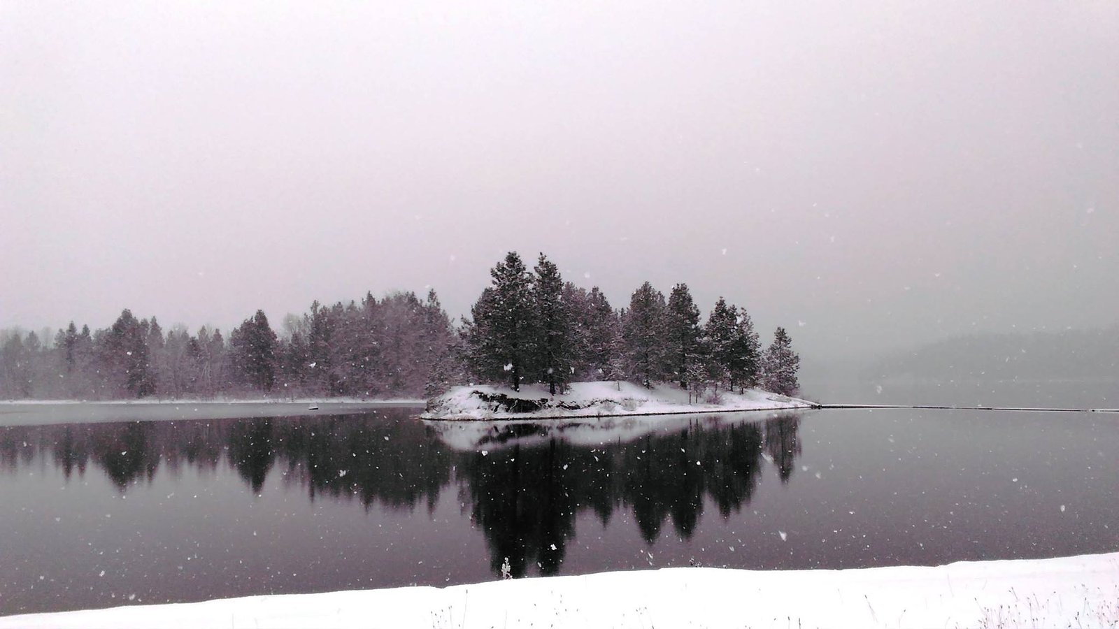
Photo Credits (2)
Difficulty
Moderate
Trail Length
2.4 miles
Trail Type
Out And Back
Elevation Gain
350 ft
About Rickey Rapids
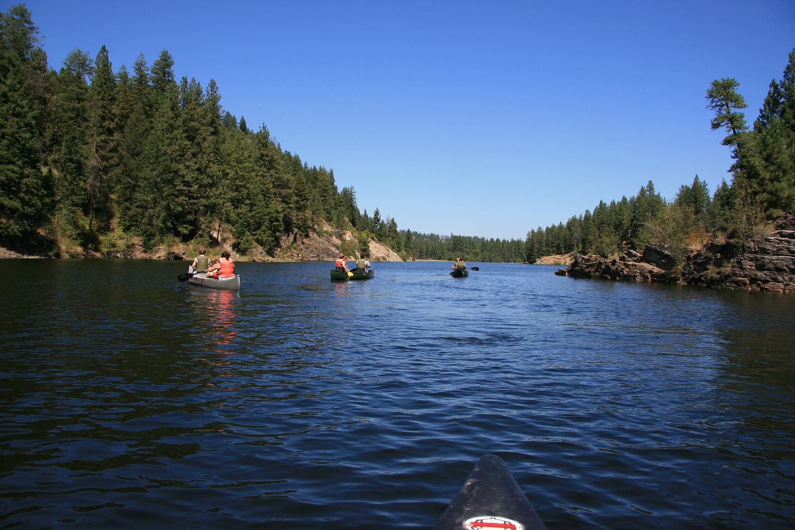
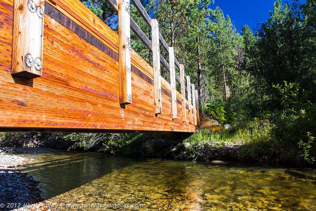
Rickey Rapids is a scenic cascade tucked inside Washington’s Lake Roosevelt National Recreation Area, managed by the National Park Service. The falls drop through tranquil, forested surroundings that reward a short hike with the sound of rushing water and a peaceful place to pause. It’s a great option for day hikers and anyone looking for a refreshed outdoor escape without a long backcountry commitment. The trail to Rickey Rapids is accessible from trailheads within the recreation area and pairs nicely with nearby camping — Haag Cove Campground sits just 2.93 km away, making this a convenient overnight basecamp. Expect a moderately paced outing: the route is roughly 2.4 miles round trip with about 350 feet of elevation gain, so pack layers and water and plan for changing seasonal conditions in the NRA.
The Setting
Rickey Rapids sits at 1,280 feet within Lake Roosevelt National Recreation Area, fed by the Colville River, in the foothills of Washington.
Trail & Hike Details
The Approach
The moderate 2.4-mile out-and-back trail gains 350 feet of elevation on the way to the falls.
Trail Description
Trail: approximately 2.4 miles round trip (out-and-back) with about 350 feet of elevation gain. Difficulty: moderate. The route is typical of trails in Lake Roosevelt National Recreation Area and is managed by the National Park Service; access may vary by season and by which trailhead you choose. Hikers should be prepared for uneven footing, variable weather, and limited services on the trail. Haag Cove Campground is about 2.93 km from the falls for convenient overnight stays.
What to Expect
Visitors can expect a tranquil setting with the sound of rushing water and lush greenery. The area is ideal for photography, picnics, and enjoying the natural beauty of the Pacific Northwest.
Accessibility
The trail is not wheelchair accessible. Uneven terrain and elevation changes require steady footing.
Frequently Asked Questions
🐶 Are Dogs Allowed at Rickey Rapids?
❌ Dogs are not allowed
Are There Any Fees or Permits Required?
🆖 No fees required
🏊 Is There Swimming at Rickey Rapids?
❌ Swimming is not allowed
When to Visit
Spring and early summer are ideal for visiting Rickey Rapids, as the water flow is typically stronger due to snowmelt. Fall offers beautiful foliage, while winter may provide a quieter experience.
Seasonal Access
The best time to visit is Spring, Summer, Fall, and Winter. Check the National Park Service website for current conditions.
Safety Information
Exercise caution near the water, as rocks can be slippery and currents strong. Always supervise children and pets. Check weather conditions and trail reports before your visit.
Current Water Conditions
74 ft³/s
Current discharge — how much water is flowing
Much lower than usual for this time of year
Based on 102 years of record
5.25 ft
Water depth at gauge
7-Day Discharge Trend
What does this mean for your visit?
Flow is well below normal for this time of year, so the waterfall may be a trickle.
About This Gauge
This gauge is on a nearby waterway and may not reflect exact conditions at the falls.
7-Day Flow Outlook
Based on the USGS gauge COLVILLE RIVER AT KETTLE FALLS, WA (8 km away).
Today
Barely Flowing
74 cfs
5/10Tomorrow
Low
82 cfs
3/10Sat
Low
85 cfs
3/10Sun
Low
84 cfs
3/10Mon
Low
75 cfs
4/10Tue
Low
77 cfs
3/10Wed
Low
72 cfs
4/10Best window: Today — barely flowing flow, partly sunny (trip score 5/10).
Best time of year: this gauge typically runs highest from mid March to mid June, peaking in April.
How we calculate this
This is a transparent outlook, not a precise forecast. We take the waterfall's current flow strength (how it ranks against its historical normal for today, from the nearest USGS stream gauge), carry that ranking forward along the gauge's seasonal curve, and nudge it for forecast rain. Confidence is highest for the next day or two and falls further out. Always check official conditions and your own judgment before visiting — high flows can be dangerous.
Know when to go.
Get a free email alert when waterfalls near Kettle Falls hit peak flow. We only send when conditions are worth the trip — no weekly newsletters, no spam.
Weather Forecast
Location & Access
Getting There
Rickey Rapids is located near the Snoqualmie River in Washington. Access is typically via local roads, and visitors should check maps or GPS for the most accurate directions.
Get Directions on Google MapsParking
Parking availability may vary depending on the season and specific access points. Visitors are advised to arrive early during peak seasons to secure a spot.
Elevation
1,280 feet above sea level
Coordinates
48.543510° N, -118.142771° W
Land Management
Managed by NPS
Visitor Tips & Gear
Wear sturdy footwear, as trails near the river can be slippery. Bring water and snacks, and check weather conditions before your visit. Cell service may be limited in the area.
As an Amazon Associate, we earn from qualifying purchases.
With 2.4 miles and 350 ft of elevation gain, sturdy boots and trekking poles will help on this moderate trail. Icy conditions are common in winter — traction cleats are a smart addition.
America the Beautiful Annual Pass
Covers entrance fees at 2,000+ federal recreation sites — required at most National Parks.

Columbia Watertight II Rain Jacket
Packs into its own pocket, seam-sealed, and keeps you dry from spray and surprise rain.

Polarized Sunglasses (Knockaround)
Cuts glare off the water so you actually see the falls — and your photos turn out better too.

Earth Pak Waterproof Dry Bag
Keeps your phone and gear dry when waterfall mist soaks everything else.

Waterproof Phone Pouch (AiRunTech)
Cheap insurance — take photos right next to the falls without killing your phone.

Timberland Euro Sprint Mid Waterproof
Trusted waterproof boot with premium leather and grippy rubber sole — reliable on rocky, wet trails.

TrailBuddy Trekking Poles
Lightweight aluminum, cork grips, and flip-locks that actually hold — a best-seller for good reason.
Where to Stay

Comfort Inn Colville

Columbia Point Resort

Mistequa Casino Hotel

Selkirk Motel
Browse vacation cabins and private rentals nearby
Unique outdoor stays — tents, yurts, and treehouses
Rent a campervan or RV for your waterfall road trip
Some links are affiliate links. We may earn a commission at no extra cost to you.
Nearby Campground
Haag Cove Campground
1.8 miles away · 18 sites
Overview Haag Cove is a quiet, isolated campground on Lake Roosevelt’s west side. Sites are spread out along the shoreline in an open area with scattered pine trees. The open setting does not allow for much privacy between sites, but provides sweeping views of the lake to most campers. The campground is typically quiet though it may fill on holidays and weekends. There is not a boat launch or courtesy dock. Recreation Haag Campground is popular with families, hunters and fishermen to camp. They c
Book on Recreation.govAdditional Information
Nearby Attractions
Nearby attractions include Snoqualmie Falls and various hiking trails in the Snoqualmie region.
Wildlife
The area is home to a variety of wildlife, including birds, deer, and small mammals. Visitors should respect the natural habitat and avoid feeding animals.
Cities near Rickey Rapids
Nearby Waterfalls
Writing about Rickey Rapids? Embed this waterfall on your site for free.