Meyers Falls
By Armen Suny · Last verified Mar 2026
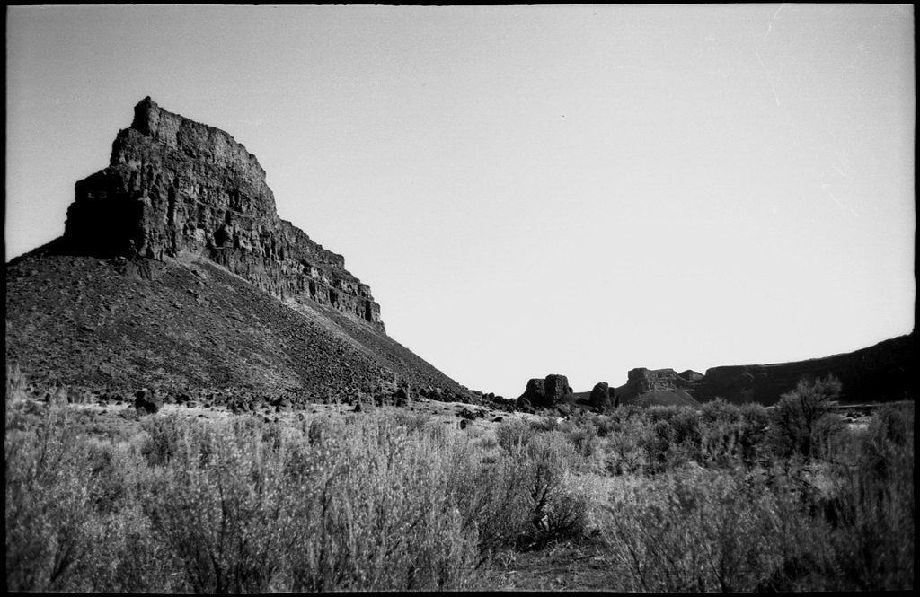


Photo Credits (5)
Difficulty
Moderate
Trail Length
2.4 miles
Trail Type
Out And Back
Elevation Gain
350 ft
About Meyers Falls
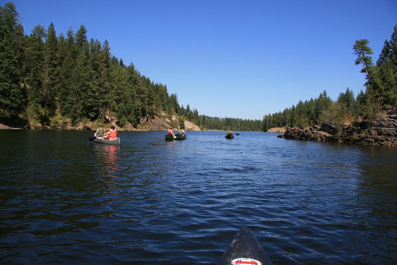
Meyers Falls is a small but scenic waterfall on the Colville River just outside the town of Kettle Falls in northeastern Washington. The setting is quietly historic — the river corridor was long used by Native Americans and later by early settlers — and the falls offer a peaceful, photogenic stop for hikers and photographers exploring the region. Most visitors reach viewpoints via a moderate 2.4-mile out-and-back hike that gains about 350 feet, making it a rewarding half-day outing for anyone comfortable on uneven terrain. The area around the falls is not a heavily developed day-use site, so the final approach includes short unmarked paths along the river and a bit of route-finding to reach the best viewpoints. If you’re planning to camp nearby, the Kettle Falls Locust Grove Group Site is about 4.02 km (roughly 2.5 miles) away, making it convenient to pair an overnight stay with a morning visit to the falls.
The Setting
Meyers Falls sits at 1,447 feet along the Colville River, in the foothills of Washington.
Trail & Hike Details
The Approach
The moderate 2.4-mile out-and-back trail gains 350 feet of elevation on the way to the falls.
Trail Description
Length: 2.4 miles (out-and-back); Elevation gain: ~350 feet; Difficulty: Moderate. The established approach is an out-and-back route of moderate grade, but USFS trail surface/grade/class information is not available for this site. Expect natural dirt and rock surfaces, and note that the last approach to the falls follows short unmarked sections where route-finding may be required. There is limited formal trail infrastructure at the immediate viewpoint, so bring sturdy footwear and be prepared for uneven footing and brief off-trail navigation.
What to Expect
Visitors can expect a small but picturesque waterfall with historical significance. The area may include industrial structures due to the nearby hydroelectric plant.
Accessibility
The trail is not wheelchair accessible. Uneven terrain and elevation changes require steady footing.
Frequently Asked Questions
🐶 Are Dogs Allowed at Meyers Falls?
❌ Dogs are not allowed
Are There Any Fees or Permits Required?
🆖 No fees required
🏊 Is There Swimming at Meyers Falls?
❌ Swimming is not allowed
When to Visit
Spring and early summer are ideal times to visit when water flow is typically higher.
Seasonal Access
The best time to visit is Spring, Summer, and Fall. Winter access may be limited.
Safety Information
Exercise caution near the water and industrial structures. Be aware of slippery rocks and uneven ground.
Current Water Conditions
74 ft³/s
Current discharge — how much water is flowing
Much lower than usual for this time of year
Based on 102 years of record
5.25 ft
Water depth at gauge
7-Day Discharge Trend
What does this mean for your visit?
Flow is well below normal for this time of year, so the waterfall may be a trickle.
About This Gauge
7-Day Flow Outlook
Based on the USGS gauge COLVILLE RIVER AT KETTLE FALLS, WA (0 km away).
Today
Barely Flowing
74 cfs
5/10Tomorrow
Low
82 cfs
3/10Sat
Low
85 cfs
3/10Sun
Low
84 cfs
3/10Mon
Low
75 cfs
4/10Tue
Low
77 cfs
3/10Wed
Low
72 cfs
4/10Best window: Today — barely flowing flow, partly sunny (trip score 5/10).
Best time of year: this gauge typically runs highest from mid March to mid June, peaking in April.
How we calculate this
This is a transparent outlook, not a precise forecast. We take the waterfall's current flow strength (how it ranks against its historical normal for today, from the nearest USGS stream gauge), carry that ranking forward along the gauge's seasonal curve, and nudge it for forecast rain. Confidence is highest for the next day or two and falls further out. Always check official conditions and your own judgment before visiting — high flows can be dangerous.
Know when to go.
Get a free email alert when waterfalls near Kettle Falls hit peak flow. We only send when conditions are worth the trip — no weekly newsletters, no spam.
Weather Forecast
Location & Access
Getting There
Meyers Falls is located near the town of Kettle Falls, Washington. It can be accessed via local roads, and the falls are situated near the Meyers Falls Hydroelectric Plant.
Get Directions on Google MapsParking
There is limited parking available near the falls, typically near the hydroelectric plant or along nearby roads.
Elevation
1,447 feet above sea level
Coordinates
48.594066° N, -118.060442° W
Visitor Tips & Gear
Wear sturdy shoes as the terrain near the falls may be uneven. Check local conditions before visiting, as access may vary.
As an Amazon Associate, we earn from qualifying purchases.
With 2.4 miles and 350 ft of elevation gain, sturdy boots and trekking poles will help on this moderate trail. Sun exposure on the trail makes good sun protection a must in summer.

Polarized Sunglasses (Knockaround)
Cuts glare off the water so you actually see the falls — and your photos turn out better too.

Columbia Watertight II Rain Jacket
Packs into its own pocket, seam-sealed, and keeps you dry from spray and surprise rain.

Earth Pak Waterproof Dry Bag
Keeps your phone and gear dry when waterfall mist soaks everything else.

Waterproof Phone Pouch (AiRunTech)
Cheap insurance — take photos right next to the falls without killing your phone.

Timberland Euro Sprint Mid Waterproof
Trusted waterproof boot with premium leather and grippy rubber sole — reliable on rocky, wet trails.

TrailBuddy Trekking Poles
Lightweight aluminum, cork grips, and flip-locks that actually hold — a best-seller for good reason.
Where to Stay

Columbia Point Resort

Comfort Inn Colville

China Bend Winery Bed and Breakfast

Selkirk Motel
Browse vacation cabins and private rentals nearby
Unique outdoor stays — tents, yurts, and treehouses
Rent a campervan or RV for your waterfall road trip
Some links are affiliate links. We may earn a commission at no extra cost to you.
Nearby Campground
KETTLE FALLS LOCUST GROVE GROUP SITE
2.5 miles away · 2 sites
Overview Kettle Falls Locust Grove Group Site is on the northern section of Lake Roosevelt and convenient to the town of Kettle Falls. The facility is 0.25 miles away from the main Kettle Falls Campground, which has a multi-lane boat launch. It is popular for groups of boaters, fishermen and water sports enthusiasts. The Kettle Falls area is rich in history of American Indians as well as the fur trade; campers can learn more at a park visitor center less than 10 miles away. Lake Roosevelt is a 13
Book on Recreation.govAdditional Information
Nearby Attractions
Nearby attractions include Lake Roosevelt National Recreation Area and the town of Kettle Falls.
Wildlife
The area may feature local bird species and small mammals, though wildlife sightings are not guaranteed.
Cities near Meyers Falls
Nearby Waterfalls
Writing about Meyers Falls? Embed this waterfall on your site for free.