Kettle Falls (historical)
By Armen Suny · Last verified Sep 2026
LiDAR & 3D terrain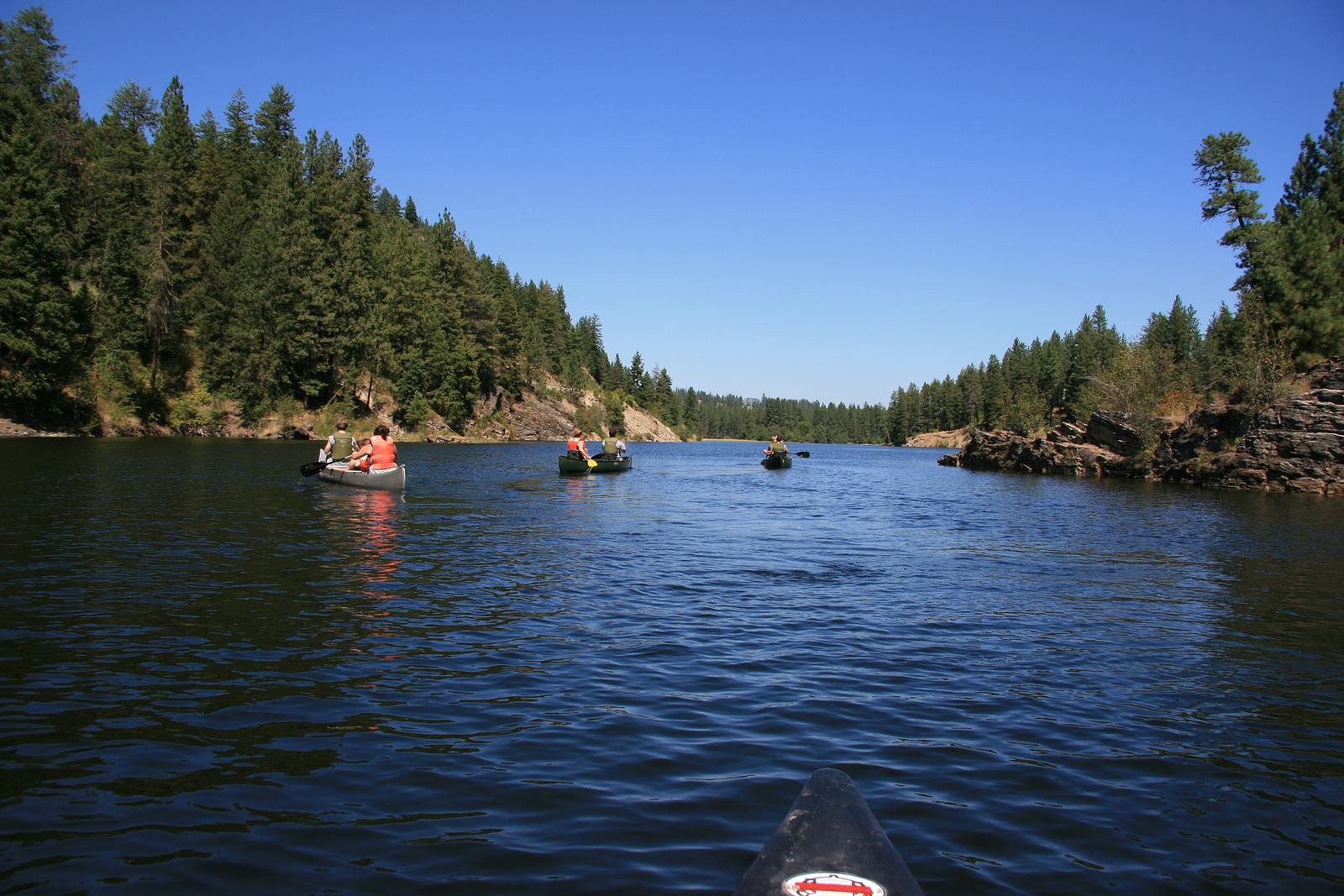
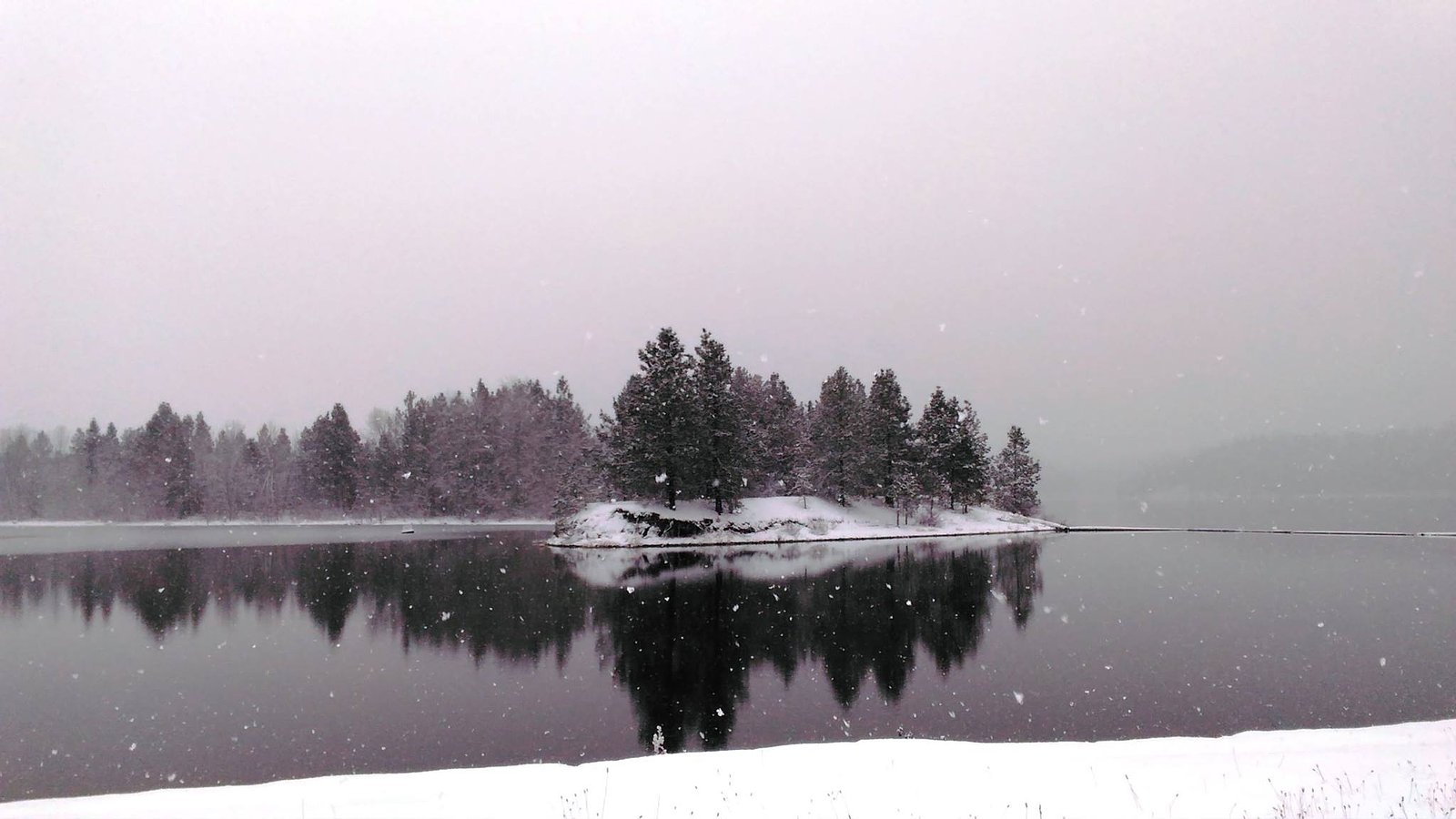
Photo Credits (3)
Difficulty
Drive Up
About Kettle Falls (historical)
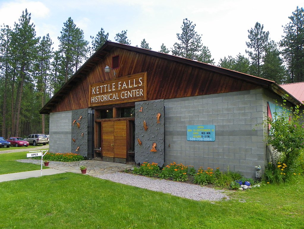
Kettle Falls, located in northeastern Washington, was historically a significant waterfall on the Columbia River. It was an important fishing site for Indigenous peoples, particularly the Spokane and Colville tribes. However, the falls were submerged in 1940 due to the construction of the Grand Coulee Dam, which created Lake Roosevelt. Today, the area is part of Lake Roosevelt National Recreation Area, and the original site of the falls is underwater.
The Setting
Kettle Falls (historical) sits at 1,280 feet within Lake Roosevelt National Recreation Area, fed by the Colville River, in the foothills of Washington.
Trail & Hike Details
The Approach
No hiking required. Kettle Falls (historical) is accessible by vehicle with a roadside viewing area.
Trail Description
There is no hiking trail to Kettle Falls itself, as the original waterfall is now submerged under Lake Roosevelt. Visitors can explore the surrounding recreation area, which offers trails, picnic areas, and viewpoints of the lake.
What to Expect
Swimming is permitted. Dogs are welcome.
Accessibility
This waterfall is viewable from a vehicle-accessible area. No hiking is required.
Frequently Asked Questions
🐶 Are Dogs Allowed at Kettle Falls (historical)?
✅ Dogs are allowed
Are There Any Fees or Permits Required?
🤑 Fee: $0.00
🏊 Is There Swimming at Kettle Falls (historical)?
✅ Swimming is allowed
When to Visit
Spring and summer are the best times to visit for pleasant weather and recreational activities on Lake Roosevelt. Fall offers beautiful foliage, while winter may provide a quieter experience.
Seasonal Access
The best time to visit is Spring, Summer, Fall, and Winter. Check the National Park Service website for current conditions.
Safety Information
Be cautious around the lake, as water levels and currents can vary. Always supervise children near the water. Watch for wildlife and be prepared for changing weather conditions.
Current Water Conditions
59 ft³/s
Current discharge — how much water is flowing
Lower than usual for this time of year
Based on 102 years of record
5.18 ft
Water depth at gauge
7-Day Discharge Trend
What does this mean for your visit?
Flow is lower than usual for this time of year.
About This Gauge
7-Day Flow Outlook
Based on the USGS gauge COLVILLE RIVER AT KETTLE FALLS, WA (6 km away).
Today
Low
67 cfs
3/10Tomorrow
Barely Flowing
64 cfs
5/10Sun
Barely Flowing
60 cfs
5/10Mon
Barely Flowing
60 cfs
5/10Tue
Barely Flowing
59 cfs
5/10Wed
Barely Flowing
63 cfs
3/10Thu
Barely Flowing
61 cfs
5/10Best window: Tomorrow — barely flowing flow, mostly sunny (trip score 5/10).
Best time of year: this gauge typically runs highest from mid March to mid June, peaking in April.
How we calculate this
This is a transparent outlook, not a precise forecast. We take the waterfall's current flow strength (how it ranks against its historical normal for today, from the nearest USGS stream gauge), carry that ranking forward along the gauge's seasonal curve, and nudge it for forecast rain. Confidence is highest for the next day or two and falls further out. Always check official conditions and your own judgment before visiting — high flows can be dangerous.
Know when to go.
Get a free email alert when waterfalls near Marcus hit peak flow. We only send when conditions are worth the trip — no weekly newsletters, no spam.
Weather Forecast
The Terrain, Seen by LiDAR
Aircraft-mounted lasers measured this ground to within inches. Trees and buildings are digitally stripped away, leaving the bare shape of the land the water has carved.
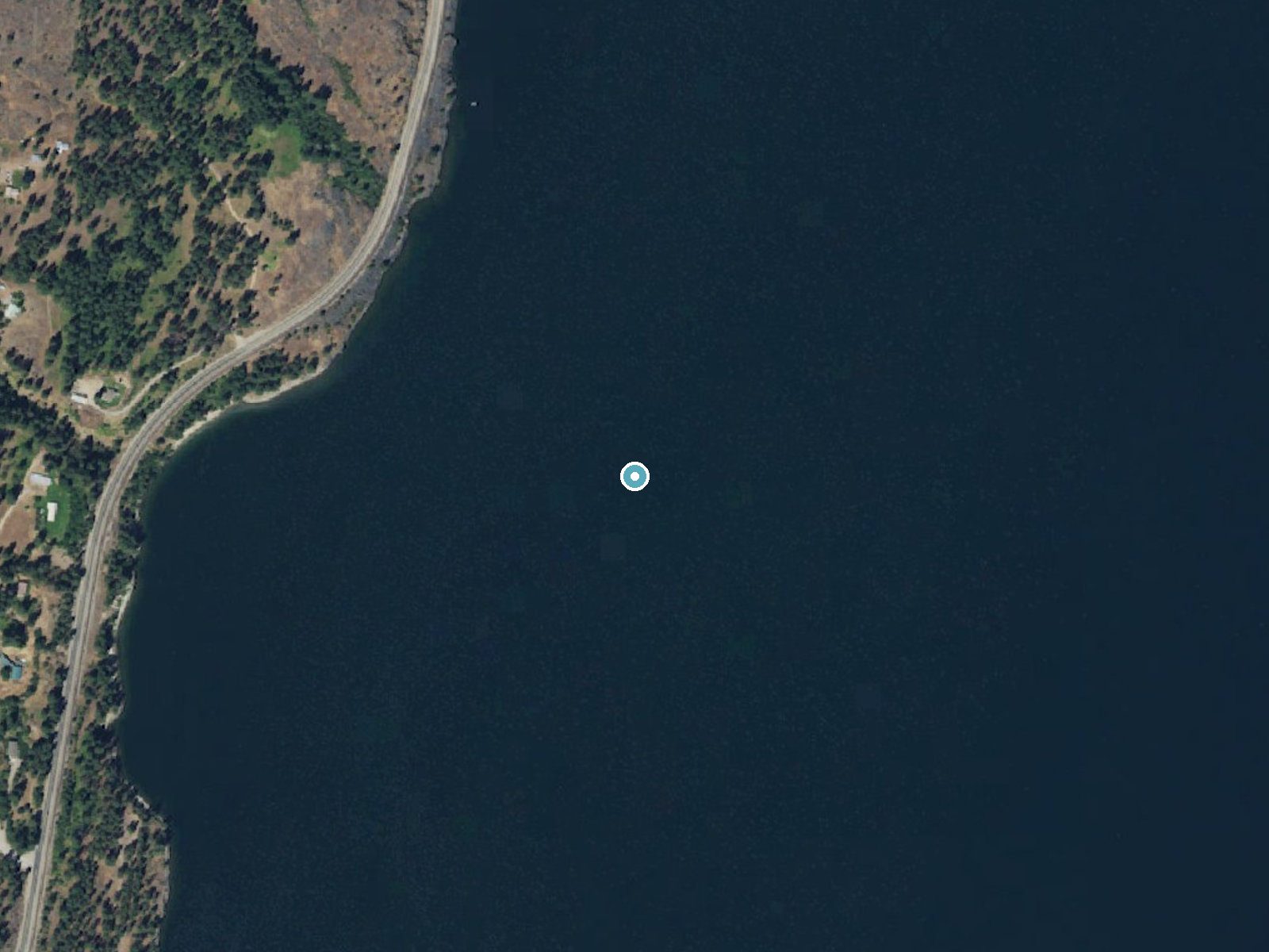
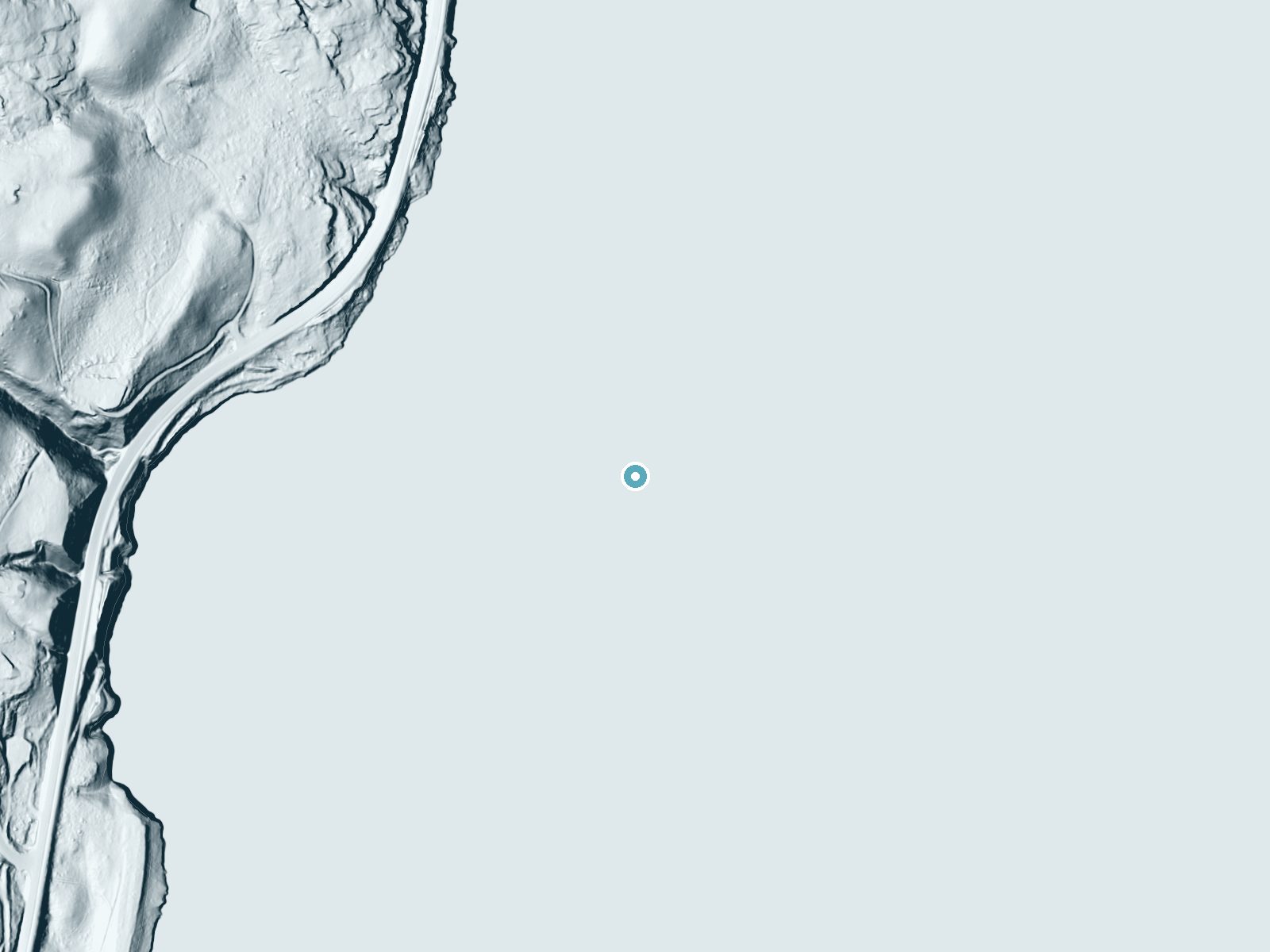
Drag to compare. The dot marks the waterfall. The frame is about a mile across.
Elevation data: USGS 3D Elevation Program. Aerial imagery: USGS The National Map. Public domain.
Location & Access
Getting There
Kettle Falls is located near the town of Kettle Falls, Washington, within the Lake Roosevelt National Recreation Area. Visitors can access the general area by driving along U.S. Route 395. The original site of the falls is now submerged under Lake Roosevelt.
Get Directions on Google MapsParking
Parking is available at various locations within the Lake Roosevelt National Recreation Area, including near the town of Kettle Falls. Specific parking areas may vary depending on the activity or site being visited.
Elevation
1,280 feet above sea level
Coordinates
48.639346° N, -118.109436° W
Land Management
Managed by NPS
Visitor Tips & Gear
Bring binoculars for wildlife viewing and a camera to capture the scenic views of Lake Roosevelt. Check the weather and water levels before visiting, as conditions can vary. Be respectful of the area's cultural and historical significance.
Where to Stay
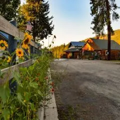
Columbia Point Resort
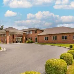
Comfort Inn Colville
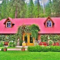
China Bend Winery Bed and Breakfast
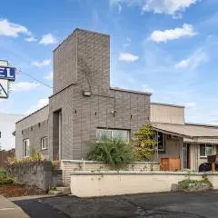
Selkirk Motel
Browse vacation cabins and private rentals nearby
Unique outdoor stays — tents, yurts, and treehouses
Rent a campervan or RV for your waterfall road trip
Some links are affiliate links. We may earn a commission at no extra cost to you.
Nearby Campground
KETTLE FALLS CAMPGROUND
2.7 miles away · 75 sites
Overview Kettle Falls Campground is on the northern section of Lake Roosevelt and convenient to the town of Kettle Falls. The facility has a multi-lane boat launch, making it popular among boaters, fishermen and water sports enthusiasts. The Kettle Falls area is rich in the history of American Indians as well as the fur trade; campers can learn more at a park visitor center less than 10 miles away. Lake Roosevelt is a 130-mile lake on the Columbia River created by the Grand Coulee Dam. Named afte
Book on Recreation.govAdditional Information
Nearby Attractions
Nearby attractions include the town of Kettle Falls, the Lake Roosevelt National Recreation Area, and the Colville National Forest.
Wildlife
The area is home to a variety of wildlife, including deer, bald eagles, ospreys, and waterfowl. Fishing opportunities are also available in Lake Roosevelt.
Cities near Kettle Falls (historical)
Nearby Waterfalls
Writing about Kettle Falls (historical)? Embed this waterfall on your site for free.